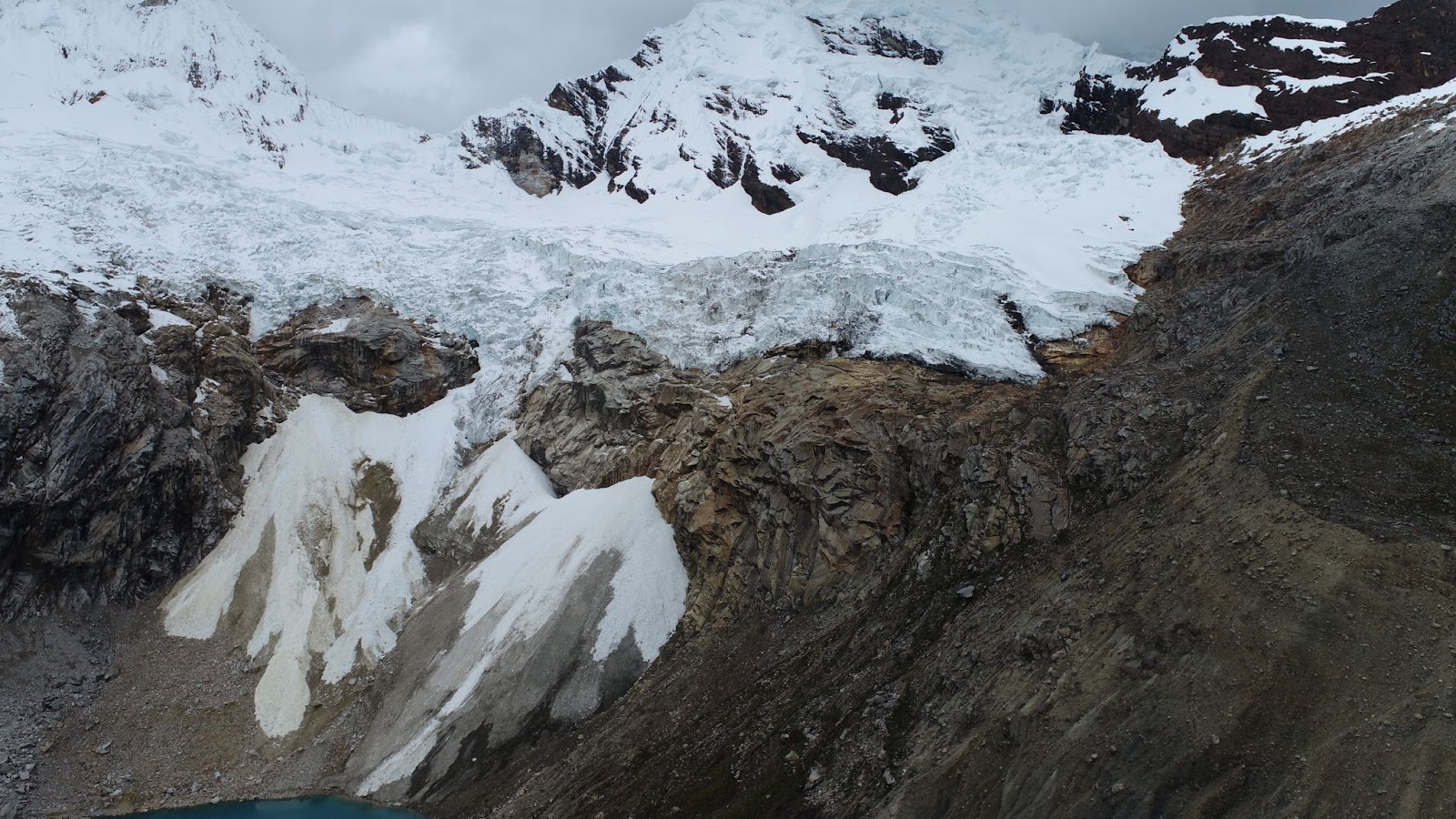
 Unlocking the secrets of glacial retreat using remote sensing: Peru’s Cordillera Blanca
Posted 1 year ago
By Henry Gage in the McMaster Blog
Hi everyone! My name is Henry Gage and I am a fourth year undergraduate student in McMaster’s Integrated Science program. I work in the McMaster Glacial Sedimentology lab, where I study the retreat of tropical glaciers. This summer I had the opportunity to travel to Peru to combine UAV and satellite remote sensing with paleoclimatic […]
Read More
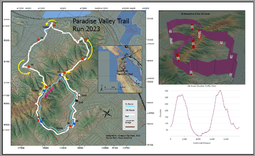 Developing a Better Appreciation of the Value of a Geographical Approach Through the Use of ArcGIS
Posted 1 year ago
By olusegun ogunleye in the UCalgary Blog
I always wanted to acquire GIS capabilities, but my busy schedule as an urban development practitioner did not permit me. However, the advent of big data and the need to remain competitive in the ever-changing global labor market was the push required to embark on the Master of GIS program at the University of Calgary. […]
Read More
 Collecting and Calculating Land Data – Preparing for Analysis of Remote Sensing Microscale Urban Heat
Posted 1 year ago
By Scarlett Rakowska in the UofT Blog
A few months ago, I wrote a blog post introducing my MSc Thesis. Since then, I finished my summer fieldwork which consisted of cycling over 560 kilometres of cycling and road infrastructure measuring air temperature every 1-second in Mississauga, Ontario. I also had the opportunity to present my preliminary thoughts on this project at the […]
Read More
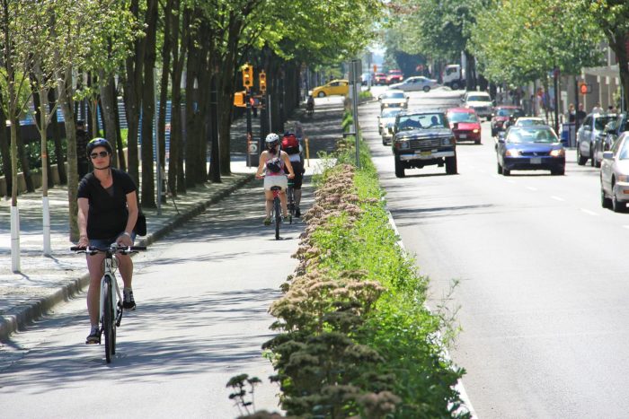 Do Separated Bike Lanes Increase Bike Share Traffic? Using ArcGIS Pro and ArcPy to determine Hamilton Bike Share’s Ridership Changes
Posted 2 years ago
By Daniel Van Veghel in the McMaster Blog
Hi everyone! It’s been a while since my last post, but I’ve been busy working on a component of my MSc thesis at McMaster’s TransLAB (Transportation Research Lab). The research is investigating the impacts of separated cycling infrastructure on Hamilton Bike Share ridership, along the affected road links. Active Transportation, and particularly cycling, are becoming […]
Read More
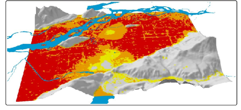 Flood risk analysis of Chilliwack, B.C., Canada
Posted 2 years ago
By Lan Qing Zhao in the SFU Blog
In November 2021, a large flooding event happened alongside the Fraser River in lower-mainland B.C. and lasted for several weeks. The city of Chilliwack was among the most devasted cities. That being the inspiration, I designed an MCE research framework to assess flood risks in Chilliwack in B.C. and categorizes areas of the city into […]
Read More
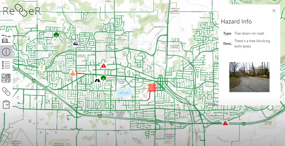 Building a Better Disaster Response App: Reflections on the 2022 ECCE App Challenge
Posted 2 years ago
By Ben Woodward in the UW Blog
By: Ben Woodward and Justin Lo Summary Ben: Earlier this year, I participated in the ECCE app challenge as a member of team G(oose)IS. This team consisted of Justin Lo (another University of Waterloo ECCE student associate), Jason Sousa (who has now graduated), and me. In this blog post, Justin and I will give an […]
Read More
 University of Waterloo ECCE Group
Posted 2 years ago
By Weronika Fydrych in the UW Blog
Hello everyone, I am proud to announce the University of Waterloo ECCE group from this year. My name is Weronika Fydrych (she/her) and I’m happy to be a part of the University of Waterloo’s ECCE student association. I am currently finishing up my final year in the School of Planning with a specialization in GIS. […]
Read More
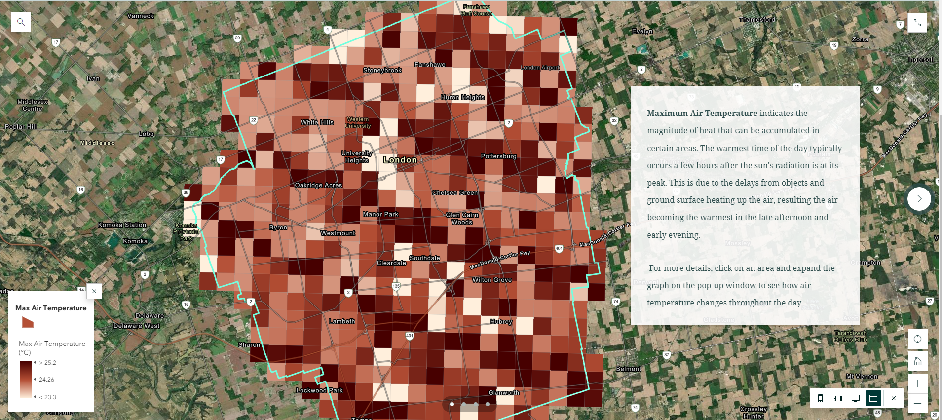 Visualizing Climate Model Data using Simple Query Tools from ArcGIS Pro and Web-Based Geovisualization Features
Posted 2 years ago
By Karlos Lao in the Western Blog
In my recent summer project as a NSERC-USRA student under the supervision of Dr. James Voogt, I was able to gain access to several datasets from Environment Canada that were not yet publicly avalilable, such as the “GEM-SURF (Global Environmental Multiscale Surface)” data. Our project focuses on using both the air temperature and surface temperature […]
Read More
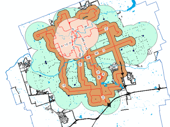 Using ArcGIS to Explore Suitable Housing Areas for Students in London
Posted 2 years ago
By Karlos Lao in the Western Blog
In my previous project in the third year GIS course with Dr. Jed Long, I completed a housing map using ArcMap, ArcGIS Online, and Story Map that aims to locate all the most accessible housing areas for Western students to live off-campus. Since the basic version of ArcGIS Online doesn’t provide access to the Spatial […]
Read More
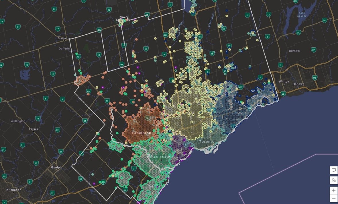 Looking at Favourite Mall Destinations Throughout Toronto’s Metropolitan Area
Posted 2 years ago
By Enrique Pedroso in the BCIT Blog
Blog Summary: Thorough understanding of a location is fundamental for real-estate professionals and stakeholders. Geospatial visualizations and data have the capacity to capture a geographic snapshot in time explaining the synergy and interaction between people and areas of interest. In this blog post I describe how GIS and data are used at CBRE to visualize […]
Read More