 Do Separated Bike Lanes Increase Bike Share Traffic? Using ArcGIS Pro and ArcPy to determine Hamilton Bike Share’s Ridership Changes
Posted 2 years ago
By Daniel Van Veghel
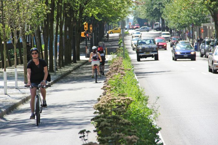
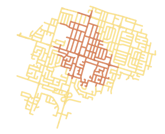
Hi everyone! It’s been a while since my last post, but I’ve been busy working on a component of my MSc thesis at McMaster’s TransLAB (Transportation Research Lab). The research is investigating the impacts of separated cycling infrastructure on Hamilton Bike Share ridership, along the affected road links. Active Transportation, and particularly cycling, are becoming […]
Read More
 Assessing Carer-Worker Potential Path Areas with Python and ArcGIS Pro
Posted 3 years ago
By Daniel Van Veghel
I’m so excited to be commencing my graduate studies back at McMaster, working in the School of Earth, Environment & Society’s Transportation Research Lab (TransLAB) — where I have the opportunity to pursue interesting research projects about transportation and travel behaviour problems, with GIS. In my last term of undergrad and through this past summer, […]
Read More
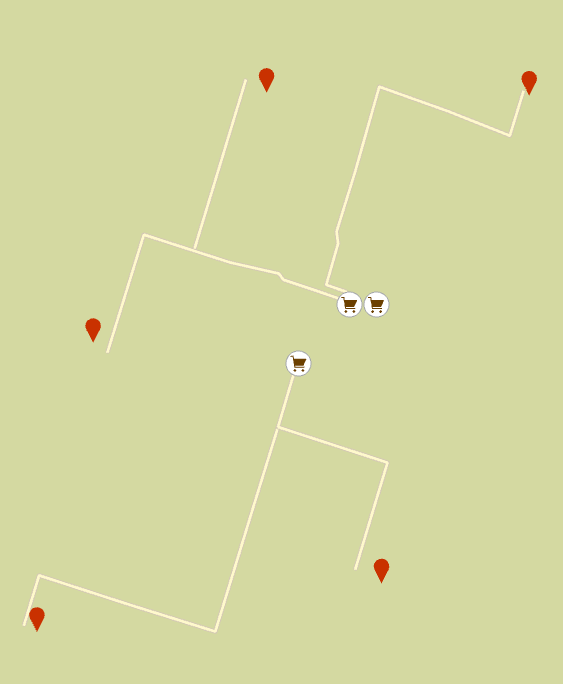 How food secure/insecure are Hamilton’s neighbourhoods? Using Python and ArcGIS’s Network Analyst Module to map Hamiltonians’ access to healthy food
Posted 4 years ago
By Daniel Van Veghel
My name is Daniel Van Veghel, and I am a fourth year Arts & Science student at Mac. I am working to complete my Minor in GIS, and this semester I am taking “GIS Programming” through Mac’s School of Earth, Environment and Society. The course aims to show how Python can be a useful tool […]
Read More

