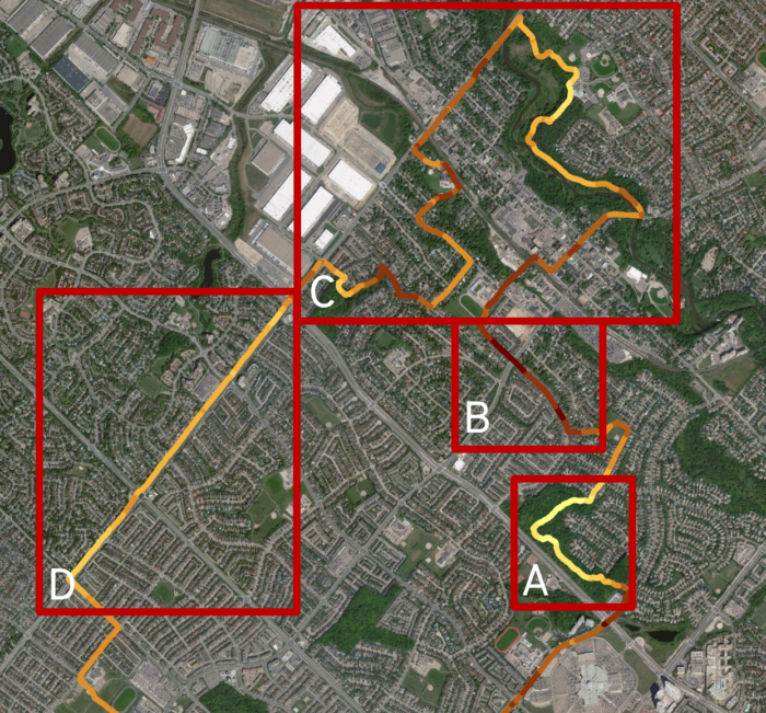
 Exploring Cycle-Level Heat – Preparing for Analysis of Remote Sensing Microscale Urban Heat
Posted 3 years ago
By Scarlett Rakowska in the UofT Blog
This blog post will present my current MSc Thesis project. As human population increases, we are seeing a trend towards more people living in cities than in rural areas (Hiemstra et al., 2017). In 1861, 16% of Canadians lived in urban regions; whereas, in 2011, 81.5% lives in urban regions (Statistics Canada, 2018). Urban areas […]
Read More
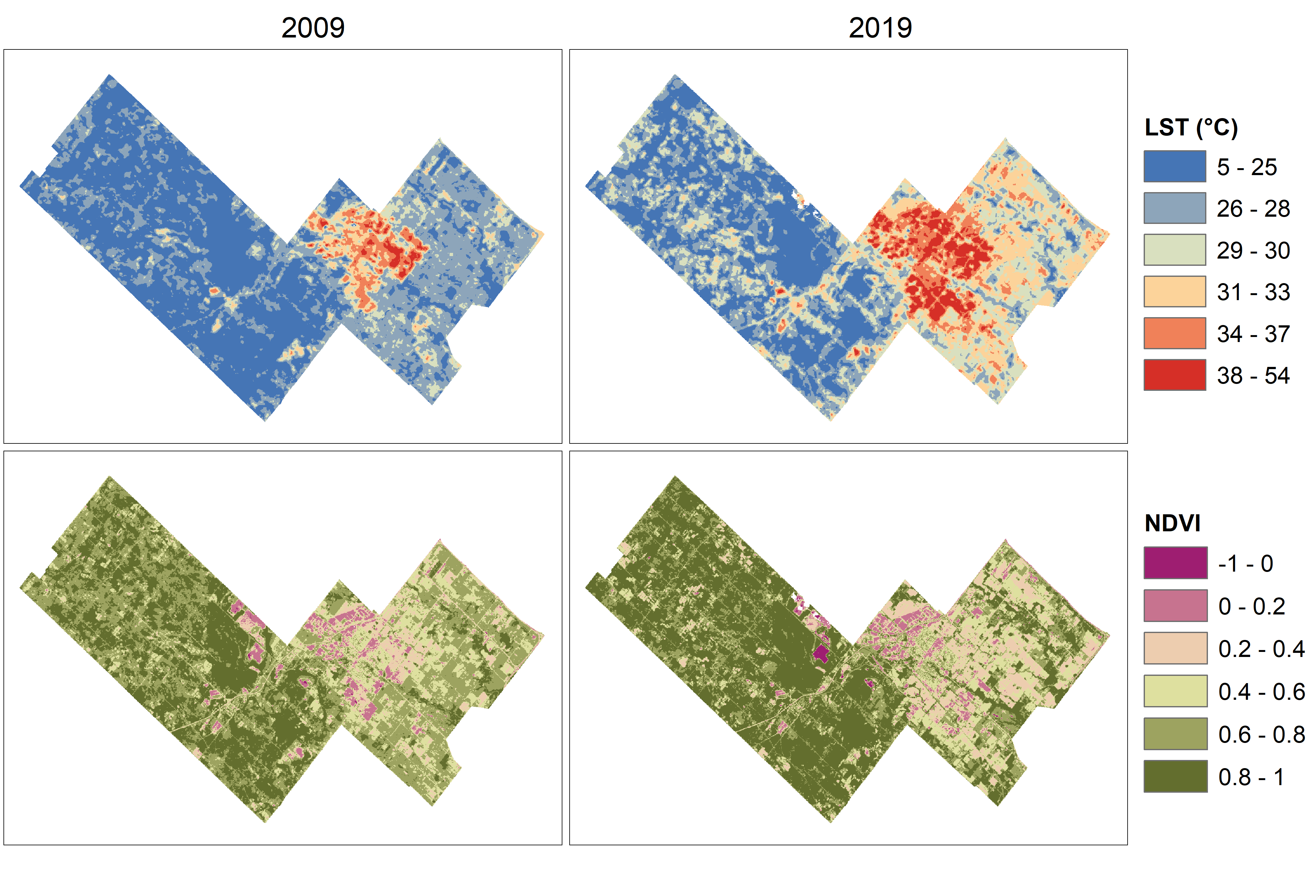 Temperature and vegetation variation within a rapidly growing town
Posted 3 years ago
By Scarlett Rakowska in the UofT Blog
As a first-year MSc student at the University of Toronto Mississauga, I wrote a paper for a planning course where I integrated remote sensing data with planning documents to understand environmental change in the rapidly growing Town of Milton, Ontario. In this blog post, I will summarize the paper including my methods and findings. However, […]
Read More
 Urban Landcover Mapping: Using Deep Learning to Extract Impervious Surfaces
Posted 3 years ago
By Mitchell Bailey in the BCIT Blog
The first of multiple blog posts in which Esri Deep Learning technology is utilized for urban landcover mapping and impervious surface coverage.
Read More
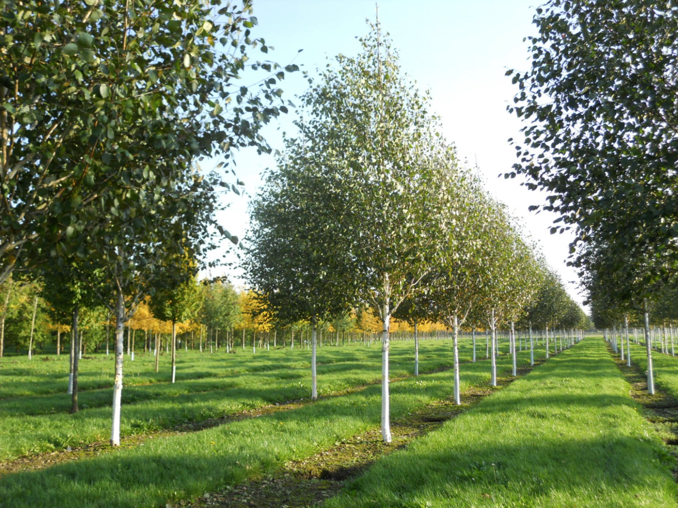 A Spatial Literature Review of the Human Impacts on Betula utilis and Betula papyrifera
Posted 3 years ago
By Sana Hashim in the UofT Blog
Independent Research In my second year at UTM, I did a spatial literature review of the human impacts on two birch species, Betula utilis and Betula papyrifera. More specifically, I analyzed the existing scholarly literature focusing on the effects of climate and environmental changes (2017 to 2022) and the human use (1982 to 2022) of […]
Read More
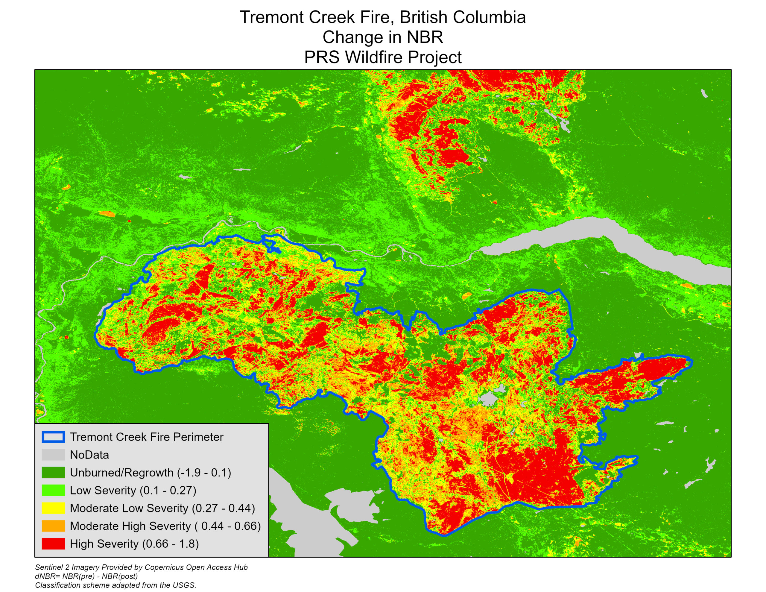 Using Optical Imagery and Fuzzy Logic to Map Wildfires in British Columbia
Posted 3 years ago
By Eli Braunstein in the BCIT Blog
Exacerbated by human-induced climate change, wildfires have become increasingly severe and devastating in recent years. In British Columbia over the past decade, wildfires have consistently cost hundreds of millions in damages and pose serious health threats to the population as the smoke lingers over populous areas throughout the province. For our British Columbia Institute of […]
Read More
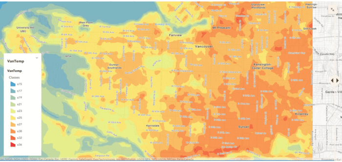 A challenge worth tackling: Looking back at this year’s ECCE App Challenge Experience
Posted 3 years ago
By Enrique Pedroso in the BCIT Blog
Being open to new challenges is something to embrace. Despite the learning curve that may come with a new challenge, the opportunity to apply what you know and adapt to the circumstance is an excellent learning opportunity. This is one of the many aspects that drew my team members and I to this year’s Esri […]
Read More
 Fantasy Maps in ArcGIS Pro using Digital Elevation Models
Posted 3 years ago
By Connor Dalzell in the COGS Blog
Feeling creative? Here’s a quick tutorial on turning DEM’s into vibrant fantasy maps!
Read More
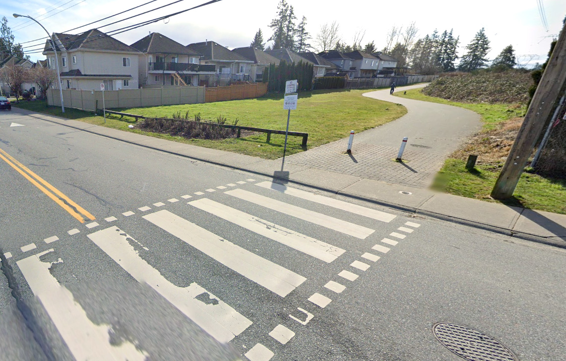 Pavement Marking Inventory using GIS and Computer Vision – Part I
Posted 3 years ago
By Charlotte Choy in the BCIT Blog
In this series of blog posts we will explore and detail the ways in which we combine the powers of GIS and computer vision to automate extraction of pavement markings from aerial orthophotos using ArcGIS Image Analyst.
Read More
 Meet the teams of the ECCE App Challenge 2022
Posted 3 years ago
By Michael Leahy
The annual ECCE App Challenge has recently completed its 8th iteration. Each year this competition provides us with the opportunity to see many new and interesting apps created and presented by teams joining from ECCE schools across the country. The 2022 App Challenge has continued this tradition, giving a total of 25 teams of students […]
Read More
 Delineating Urban Lake Watersheds using Arc Hydro
Posted 3 years ago
By Casey Doucet in the Dalhousie Blog
Many natural and anthropogenic processes occurring within a lake’s watershed directly affect lake water quality (Soranno et al., 2015). As such, delineating the bounds of a lake’s watershed is often the first step towards identifying factors driving changes in water quality over time. This critical step can be achieved with the help of Arc Hydro, […]
Read More
 Exploring Cycle-Level Heat – Preparing for Analysis of Remote Sensing Microscale Urban Heat


