
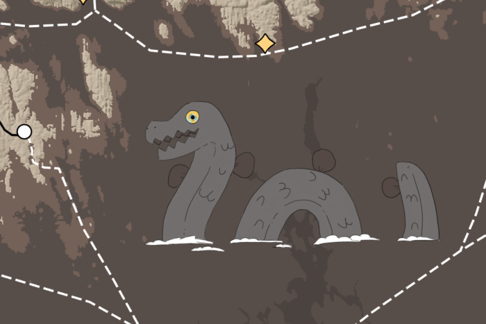
 Fantasy Maps in ArcGIS Pro using Digital Elevation Models
Posted 2 years ago
Feeling creative? Here’s a quick tutorial on turning DEM’s into vibrant fantasy maps!
 Fantasy Maps in ArcGIS Pro using Digital Elevation Models
Posted 2 years ago
Feeling creative? Here’s a quick tutorial on turning DEM’s into vibrant fantasy maps!
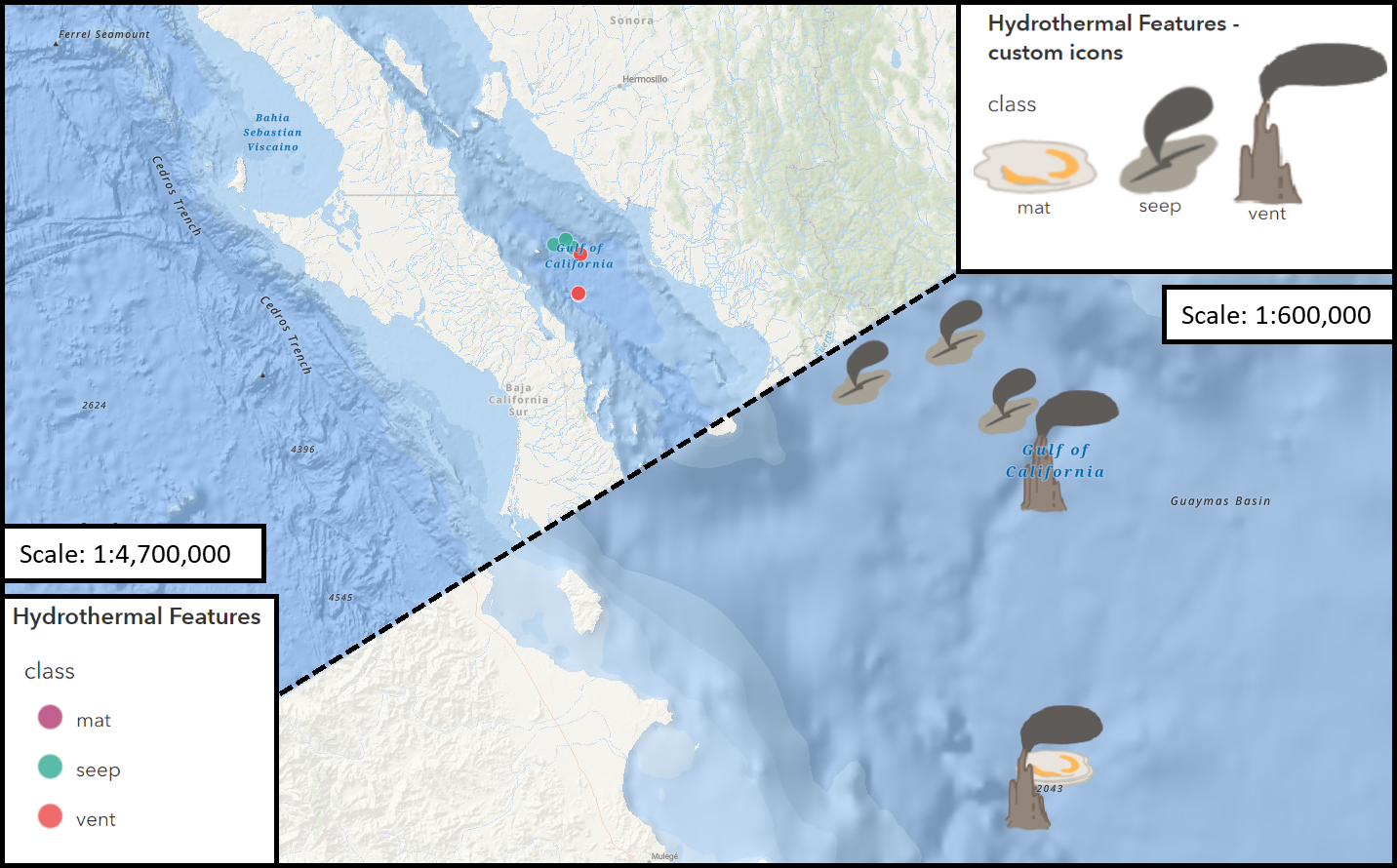 Working with Custom Picture Markers – Seafloor Hydrothermal Features
Posted 3 years ago
My first foray into creating custom image icons for points in ArcGIS pro... and a few lessons I learned along the way!
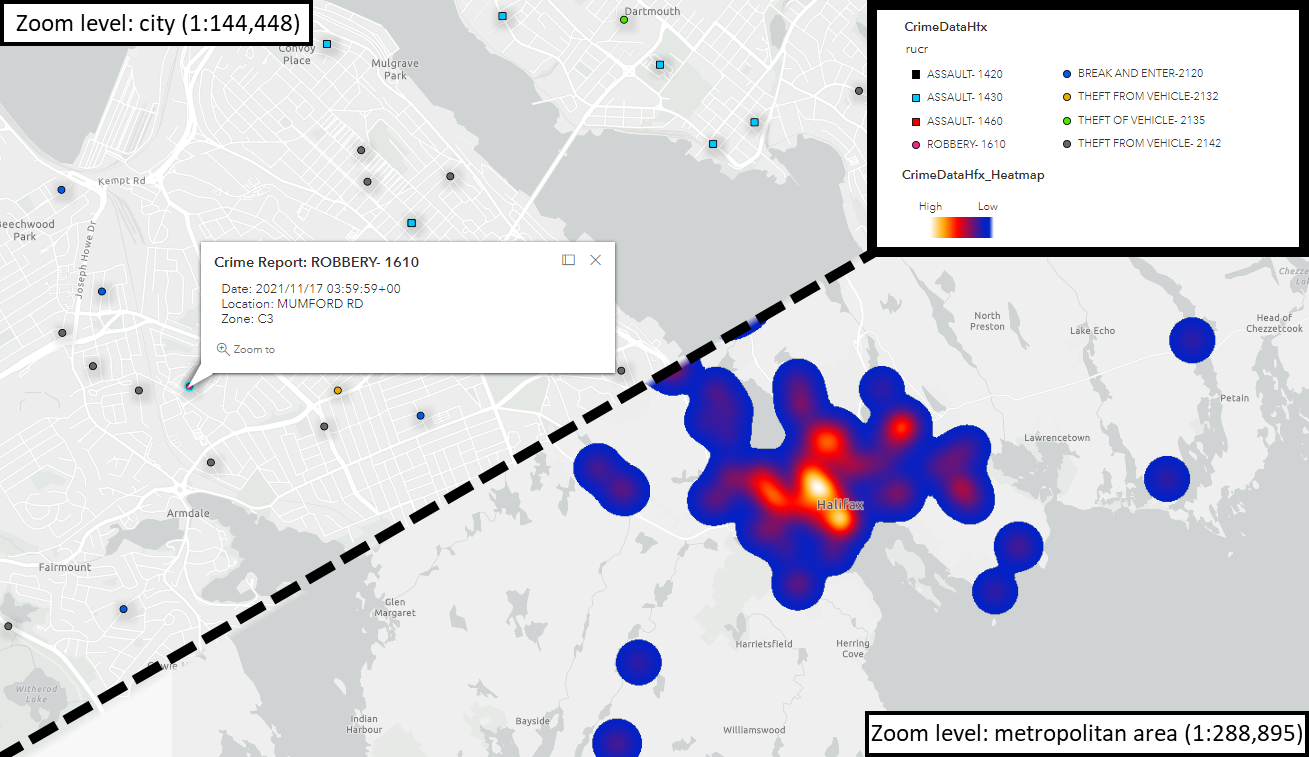 Assessing Crime in Halifax – from Spreadsheet to Web Map
Posted 3 years ago
My first foray into adapting datasets for Web Mapping! Here, I walk through the process of modifying a .csv of reported crimes in Halifax, using Excel and ArcGIS Pro, for display in ArcGIS Online.