 3D model of the Halifax Harbour Waterfront
Posted 9 months ago
By Cameron Robertson in the Dalhousie Blog
This project considered what is required to create impactful and representative visualizations as well as how planners can leverage them to explain the effects of SLR and EH. This section reviews principles, guidelines, and observations that have been made when visualizations are created and presented. This section then reviews past research which has been completed […]
Read More
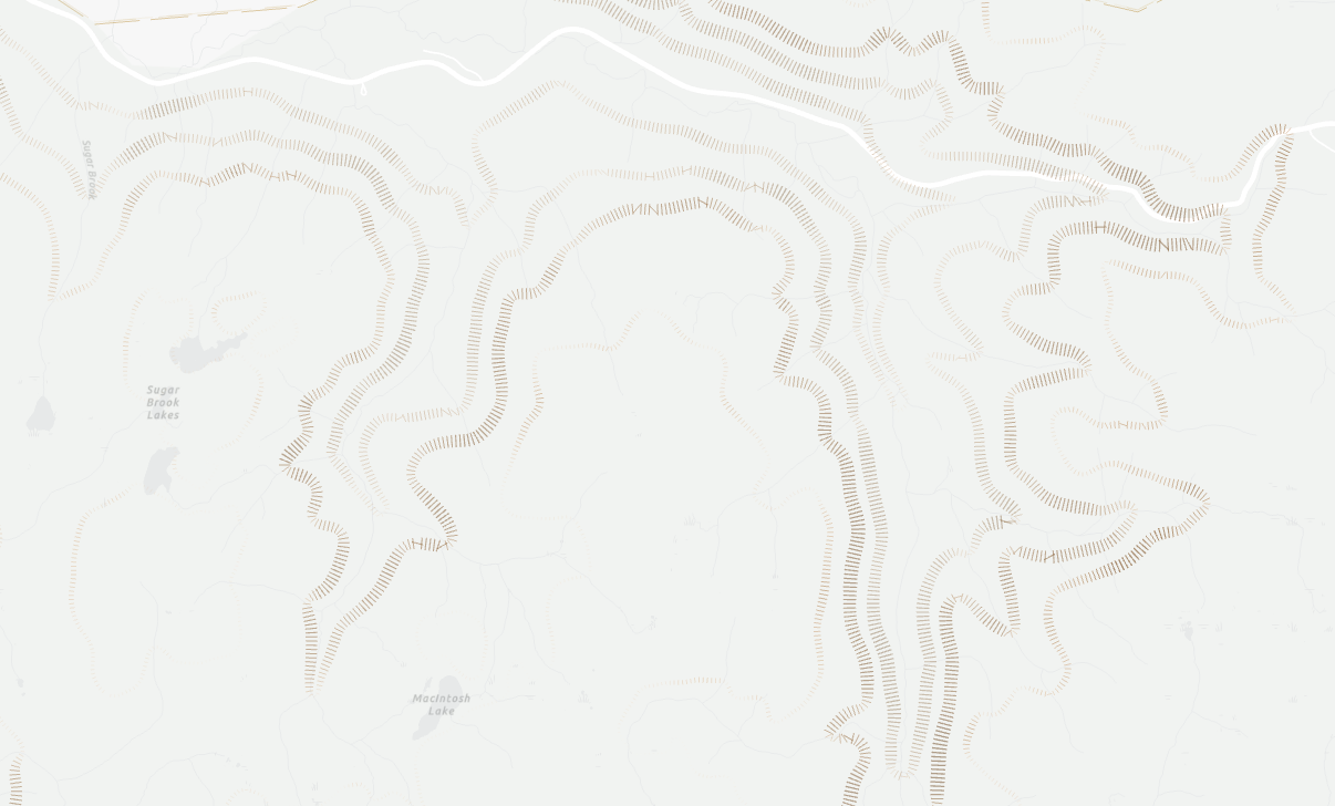 Attribute Driven Hachure Lines
Posted 1 year ago
By Nic Beauchamp in the Dalhousie Blog
Learning new mapping techniques is a great way to expand cartographic skills, and can increase one’s sense of balance and visual hierarchy for future endeavours
Read More
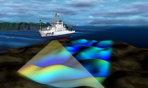 Where is the Carbon? Spatially mapping carbon on the seafloor
Posted 1 year ago
By Catherine Brenan in the Dalhousie Blog
Hi everyone! My name is Catherine Brenan and I am an undergraduate student completing a combined honours in Environmental Science and Chemistry with a certificate in GIS at Dalhousie University. I am doing my research in the Oceanography department, specifically examining how to spatially map carbon on the seafloor in the Eastern Shore Islands. Background […]
Read More
 Quantifying Land Cover Change in Urban Lake Watersheds
Posted 2 years ago
By Casey Doucet in the Dalhousie Blog
Urban development is known to impose stress on surface waters, often by dramatically altering water chemistry (Howell et al., 2012; Ren et al., 2014). To examine whether urban expansion within the Halifax Regional Municipality (HRM) is driving observed changes in water quality in a set of ~50 lakes, land cover change within their watersheds over […]
Read More
 The future of public health is spatial
Posted 2 years ago
By Brittany Barber in the Dalhousie Blog
Demand for geospatial research has increased exponentially over the past decade (Casper et al., 2019). In the past two years alone, the global pandemic has heightened the importance of “place” with a deeper awareness of how the built environment can hinder or support public health by influencing individual behaviours and population-wide distribution of disease. One […]
Read More
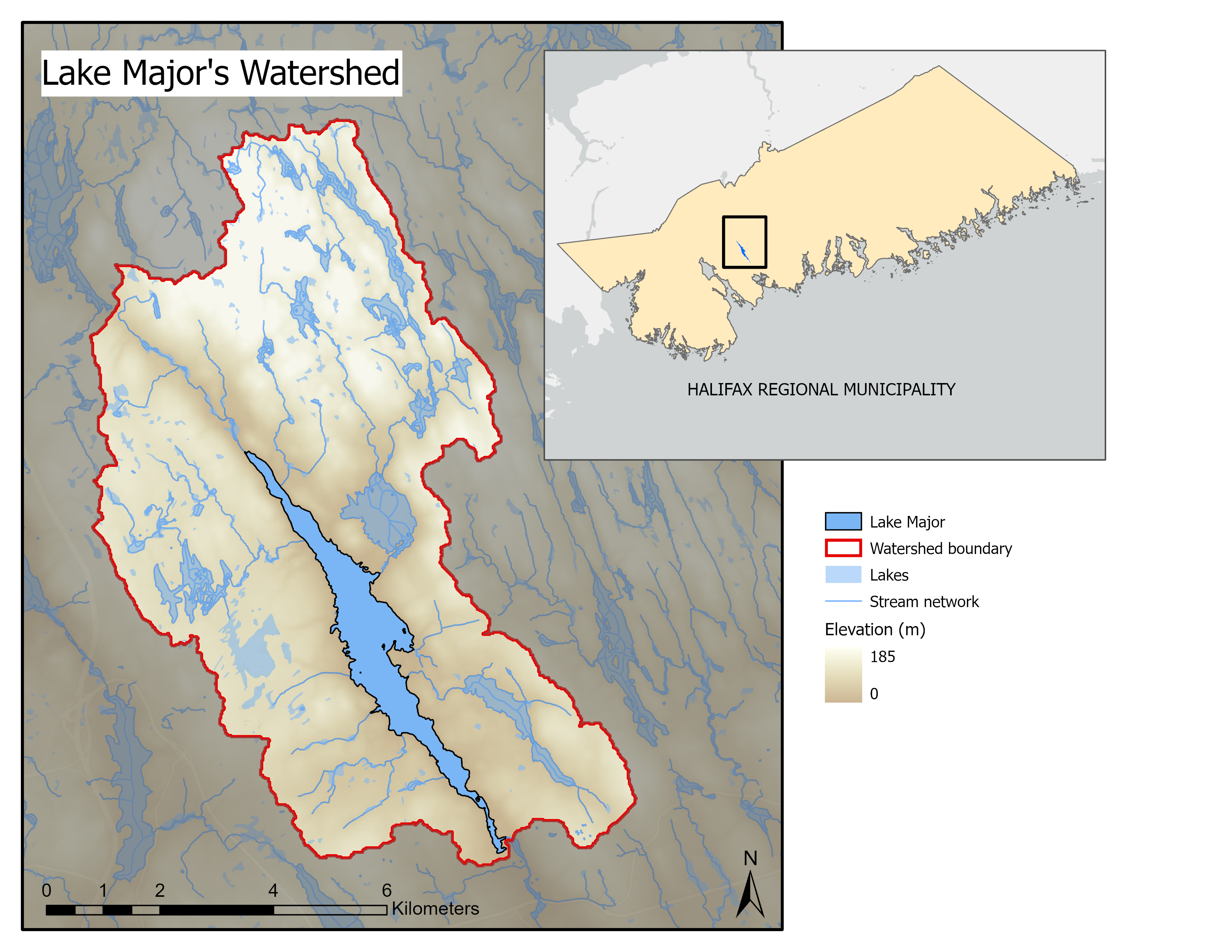 Delineating Urban Lake Watersheds using Arc Hydro
Posted 2 years ago
By Casey Doucet in the Dalhousie Blog
Many natural and anthropogenic processes occurring within a lake’s watershed directly affect lake water quality (Soranno et al., 2015). As such, delineating the bounds of a lake’s watershed is often the first step towards identifying factors driving changes in water quality over time. This critical step can be achieved with the help of Arc Hydro, […]
Read More
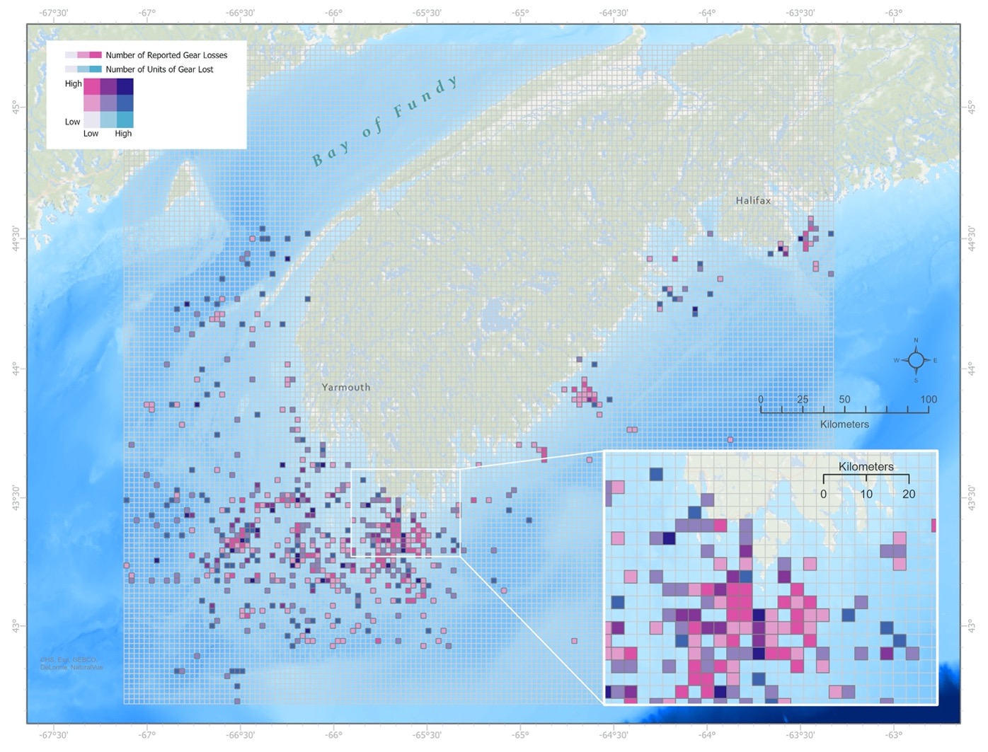 The Deeper Picture on Ghost Gear
Posted 2 years ago
By Leah Fulton in the Dalhousie Blog
Abandoned, lost or otherwise discarded fishing gear (ALDFG) is considered one of the most important marine debris issues that continues to threaten ocean sustainability. Globally, researchers are collectively working towards finding solutions to mitigate the impacts and reduce the presence of ALDFG in our oceans. Often, fishers don’t want to lose their gear, as it […]
Read More
 Geovisualization of Health Data: Some examples from COVID-19 maps.
Posted 4 years ago
By Beau Ahrens in the Dalhousie Blog
With the proliferation of COVID-19 geovisualization, also comes fundamental problems with the way these maps are presenting information to the viewer.
Read More
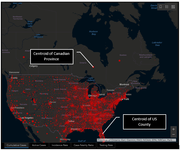
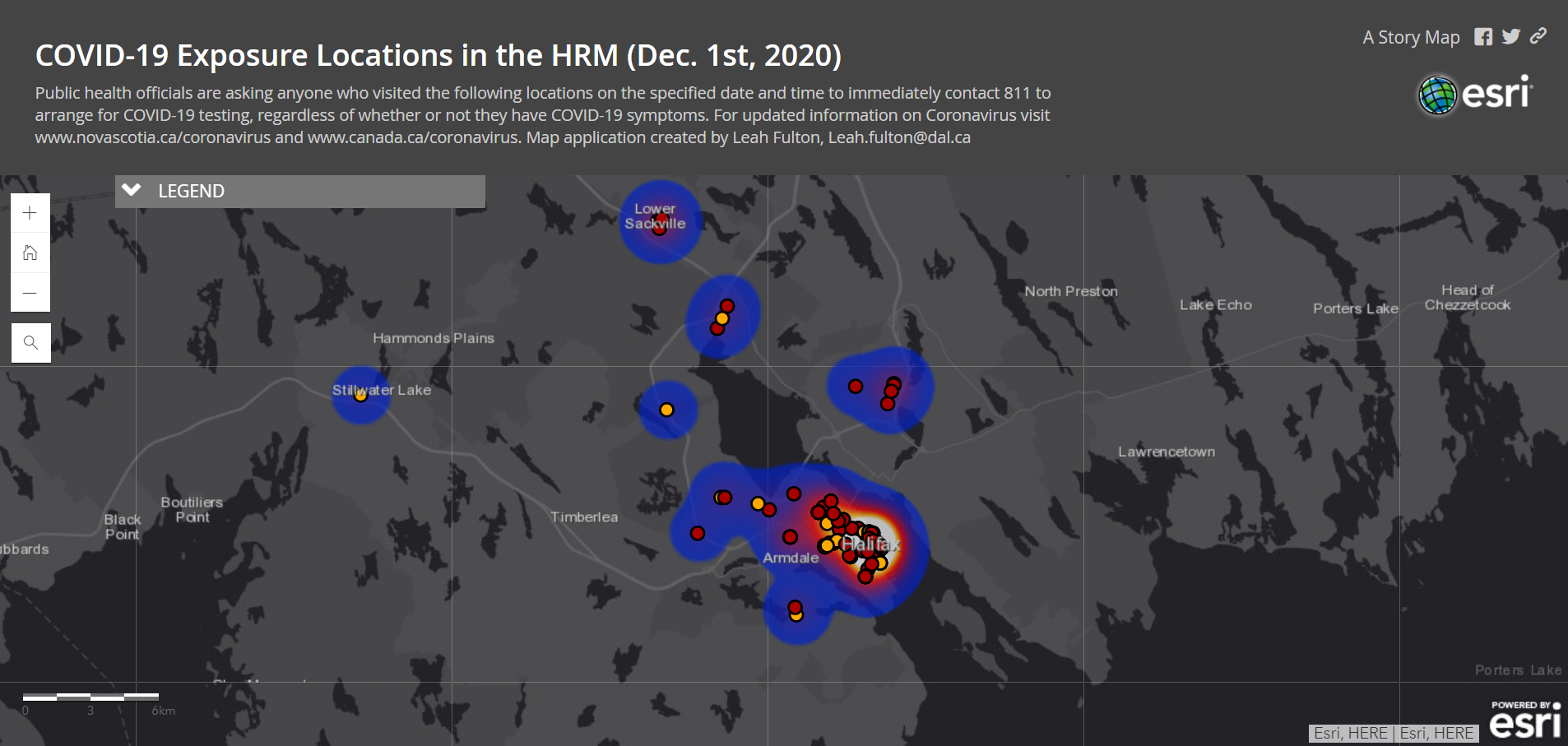 Transforming COVID-19 Data into Web Mapping Applications.
Posted 4 years ago
By Leah Fulton in the Dalhousie Blog
Geography has played a significant role throughout the COVID-19 pandemic, both locally and globally. With a second wave on the rise, understanding where COVID-19 exposure sites are is essential reducing community spread. Governments have been providing updated information regarding COVID exposure sites to increase public awareness. In Nova Scotia, such data includes the date, time, […]
Read More
 Keep Motivated with GIS Remote Learning
Posted 4 years ago
By Leah Fulton in the Dalhousie Blog
As many schools across Canada have cancelled in-person classes due to COVID 19 and summer courses have quickly changed their teaching methods to online, it may be challenging to keep motivated. While many of us are stuck inside due to social isolation, these times may be an opportunity to learn a new GIS-related skill. Fortunately, […]
Read More

