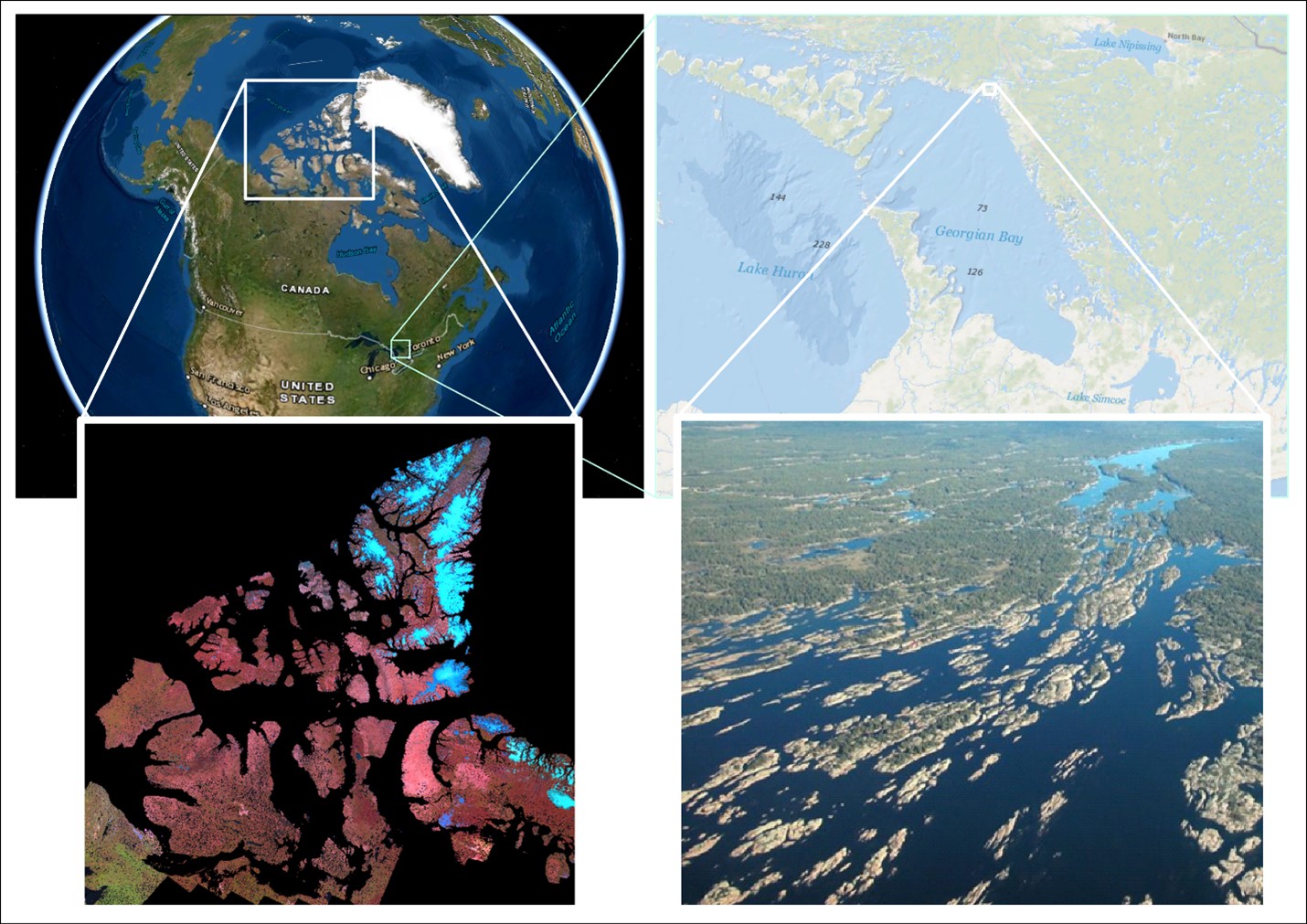
 Is the world’s largest freshwater archipelago losing islands? How water levels impact coastal marshes
Posted 4 years ago
By Sherry Chen in the McMaster Blog
An archipelago is a collection of islands. Canada is home to 2 of the biggest, a saltwater and a freshwater archipelago. The saltwater archipelago is in the northern part of Canada (> 35 K islands) that no one during geography class was able to fully draw. It is the world’s second largest saltwater archipelago. The […]
Read More
 About Me…
Posted 4 years ago
By Claire Barker-Sharp in the UW Blog
Hi there! My name is Claire, I am a fourth-year undergraduate student at the University of Waterloo’s School of Planning. I am thrilled to be one of UW’s student associates with Esri Canada GIS Centres of Excellence, and look forward to sharing my interests, studies, and research on the ECCE Blog, as well as participating in […]
Read More
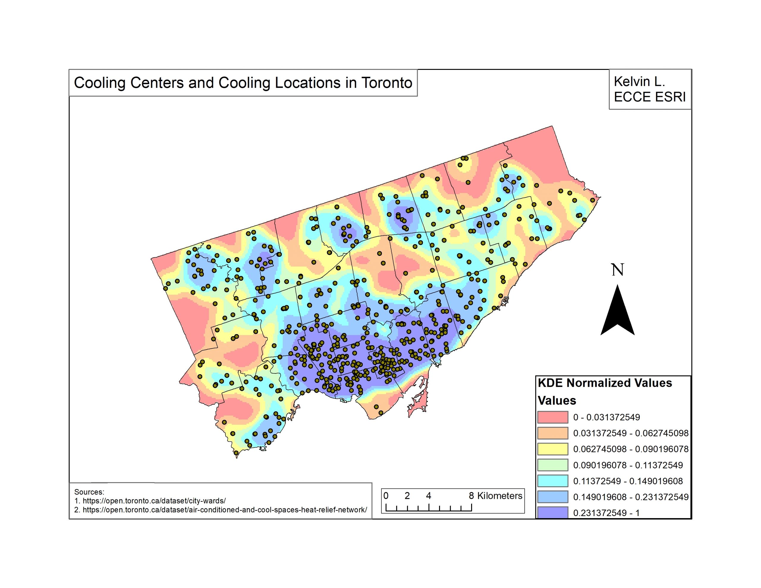 Cooling Locations for the Senior Population in Toronto
Posted 4 years ago
By Kelvin Lin in the UofT Blog
Over the past few years, the city of Toronto has introduced various cooling locations for people to refresh themselves during the summer. See how the spatial distribution of these locations matches with the distribution of some of the people who need it most.
Read More
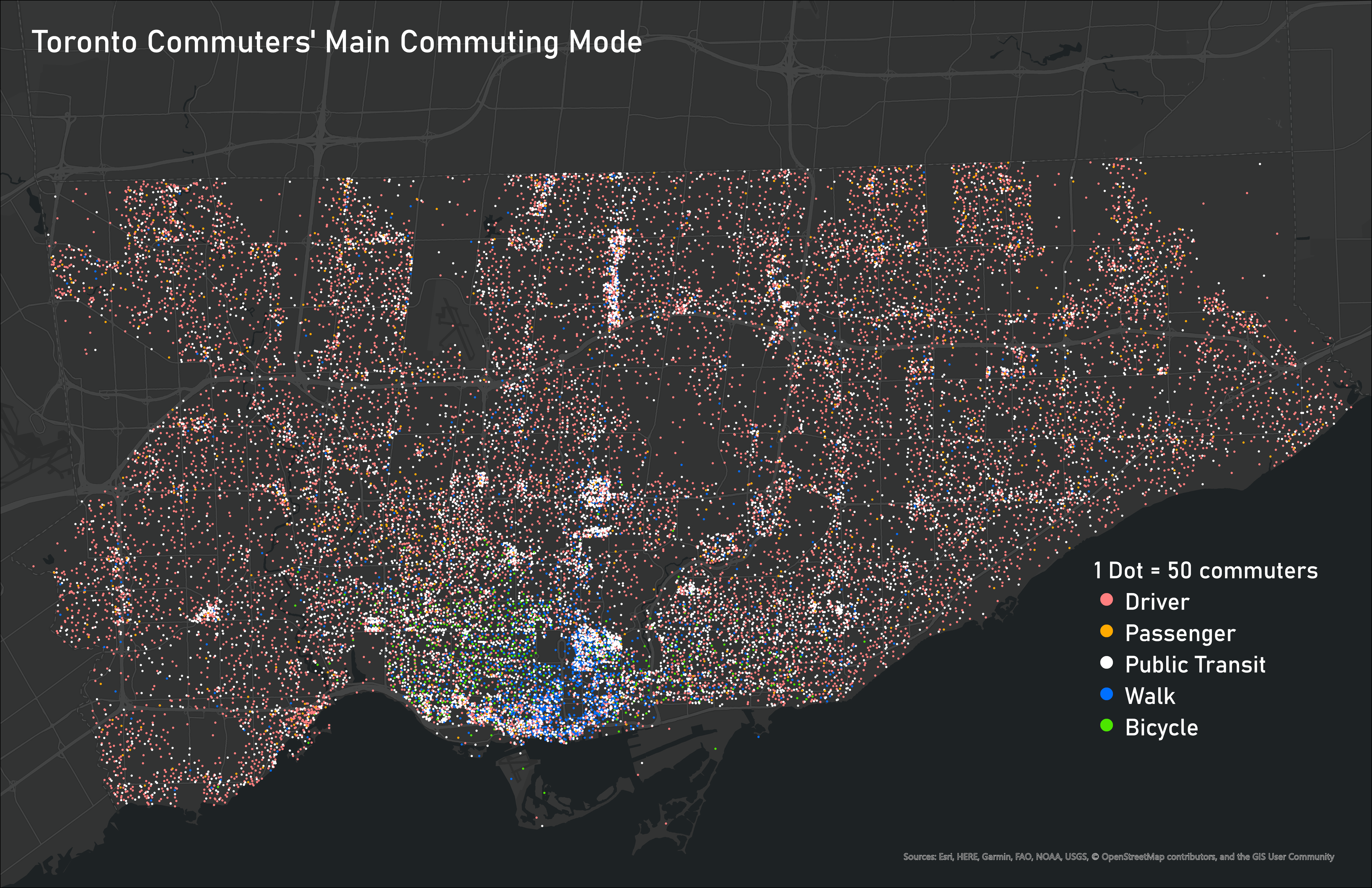 Ideas for Displaying Categorical and Time-Based Data
Posted 4 years ago
By Ben Klar in the Western Blog
Deciding the best way to visualize your data is one of the most important steps in making sure that message is clear and understood by the reader. But when you are working with many different variables, it can be challenging to display them all together on one map to show the connections between different categorical […]
Read More
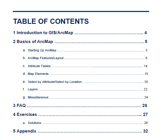 Creating Your Own GIS Guidebook!
Posted 5 years ago
By Ivy Liang in the UofT Blog
Last summer I worked as an Urban Planning Summer Student at my local municipality. My responsibilities included lots of development reviews and GIS work. I often found that I had to help my coworkers with basic GIS / ArcMap functions such as searching for an address or changing symbology. Instead of waiting to ask the […]
Read More
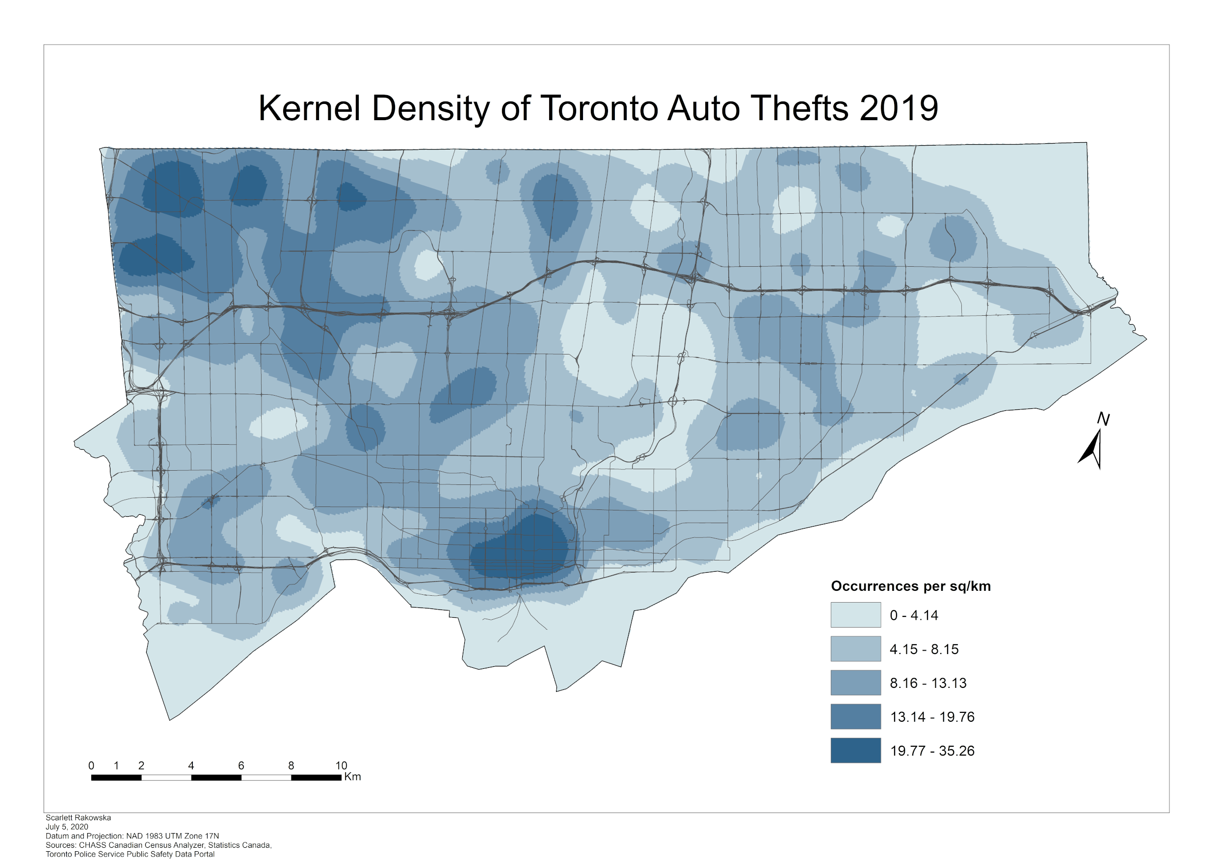 Analyzing Toronto Crime Data using Kernel Density
Posted 5 years ago
By Scarlett Rakowska in the UofT Blog
Recently, the Toronto Police Service released its 2019 data of major crime indicators. These indicators include assaults, auto thefts, break and enters, homicides, robberies, and thefts over. In this blog, I will analyze the major crime indicators for Toronto in 2019 using kernel density. Kernel Density Kernel Density is a spatial analyst tool that calculates […]
Read More
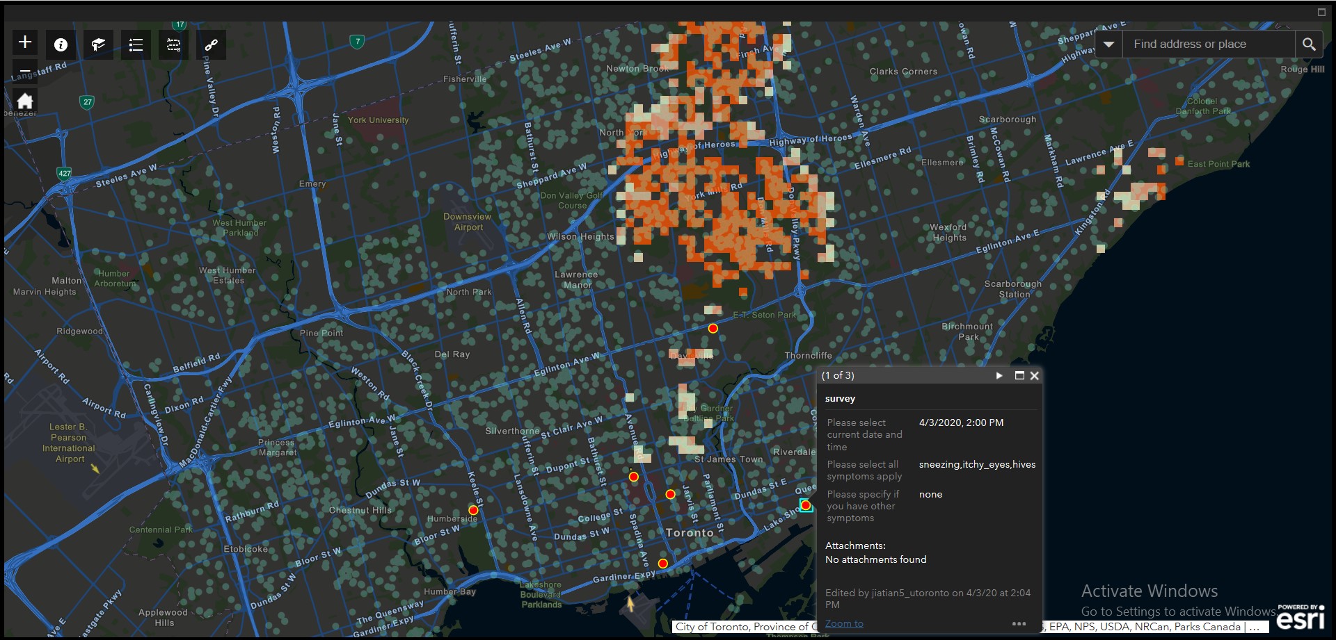 Experience and thoughts with Web AppBuilder and ArcGIS
Posted 5 years ago
By Philip Jia in the UofT Blog
This is Philip, a third-year undergraduate student studying in GIS and CS at the University of Toronto Mississauga. In April, I participated in the Esri App Challenge with Andrew Sud and Christine Cong, we designed a web application helping people to avoid tree allergies using Esri’s Web AppBuilder for ArcGIS. Although we did not win […]
Read More
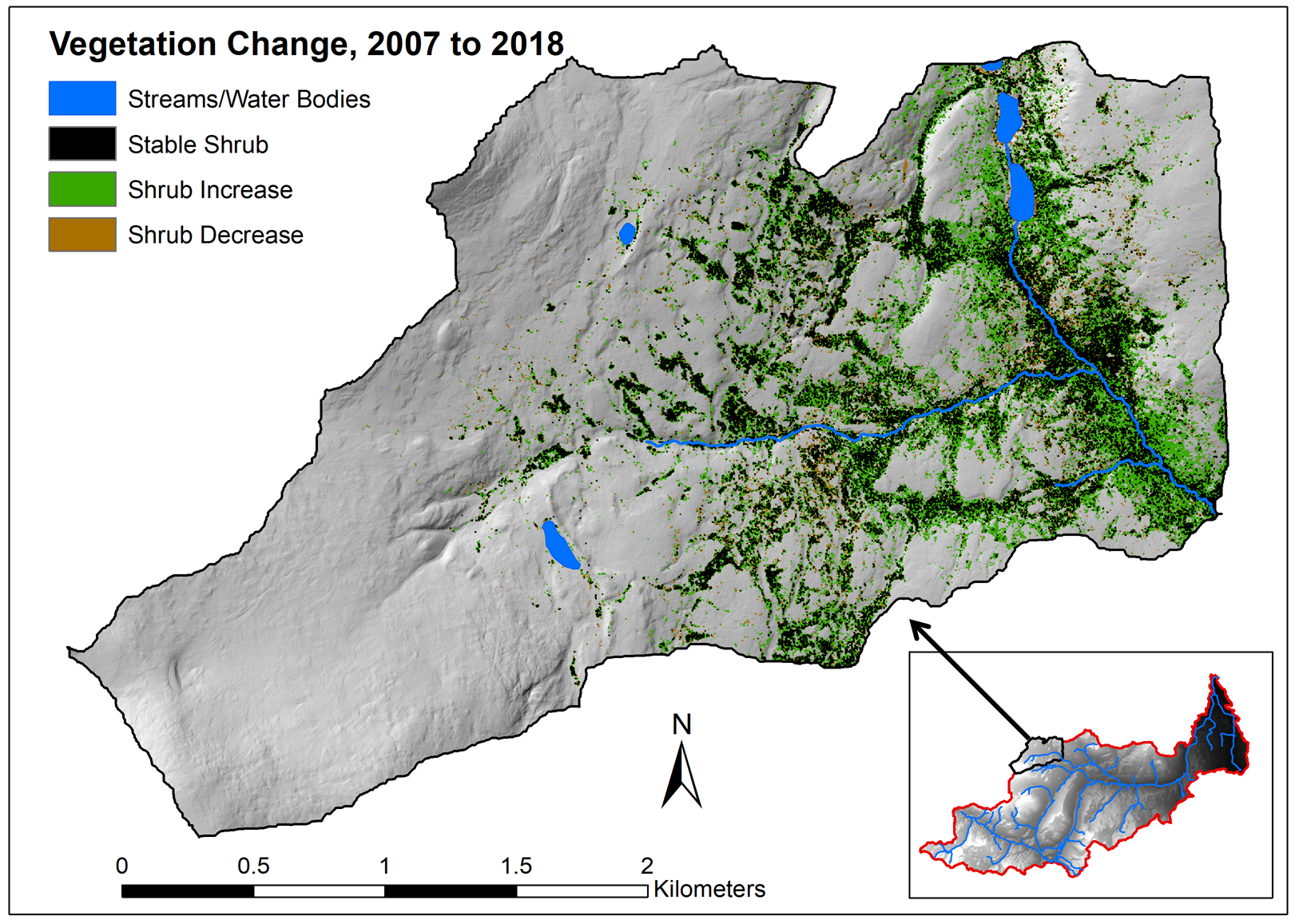 Evaluating vegetation change in Wolf Creek, YT with multi-temporal LiDAR: Part 1
Posted 5 years ago
By Sean Leipe in the McMaster Blog
In this post, I’ll be giving a summary of my current MSc progress in the McMaster Watershed Hydrology Group. This thesis project has two main components: using LiDAR and other remotely sensed imagery to quantify vegetation change over time in a subarctic research watershed, and comparing how these changes vary over different landscape properties. This […]
Read More
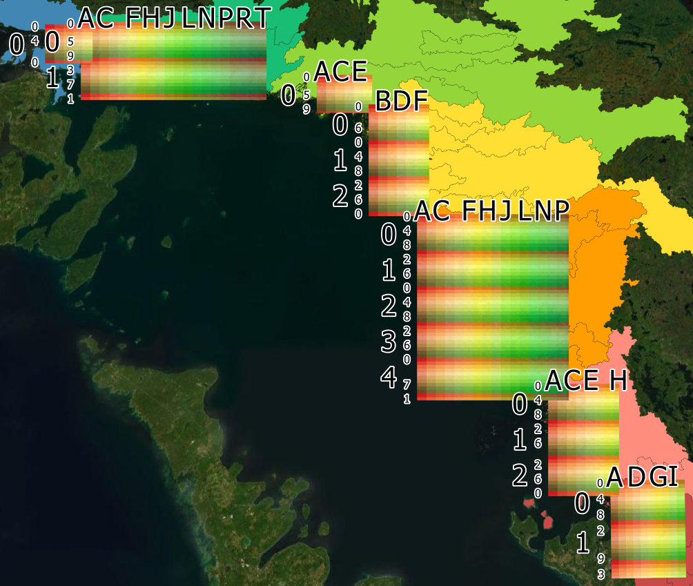 Labeling Fishnets with Unique Codes
Posted 5 years ago
By Sherry Chen in the McMaster Blog
Purpose Fishnets are useful for a variety of projects and fields including conservation where it can be used to assign a reference code for unnamed sites and identify sites with a geographically unique name. The current fishnet tool in ArcGIS does not include a function to label each cell with a unique code. A tool […]
Read More
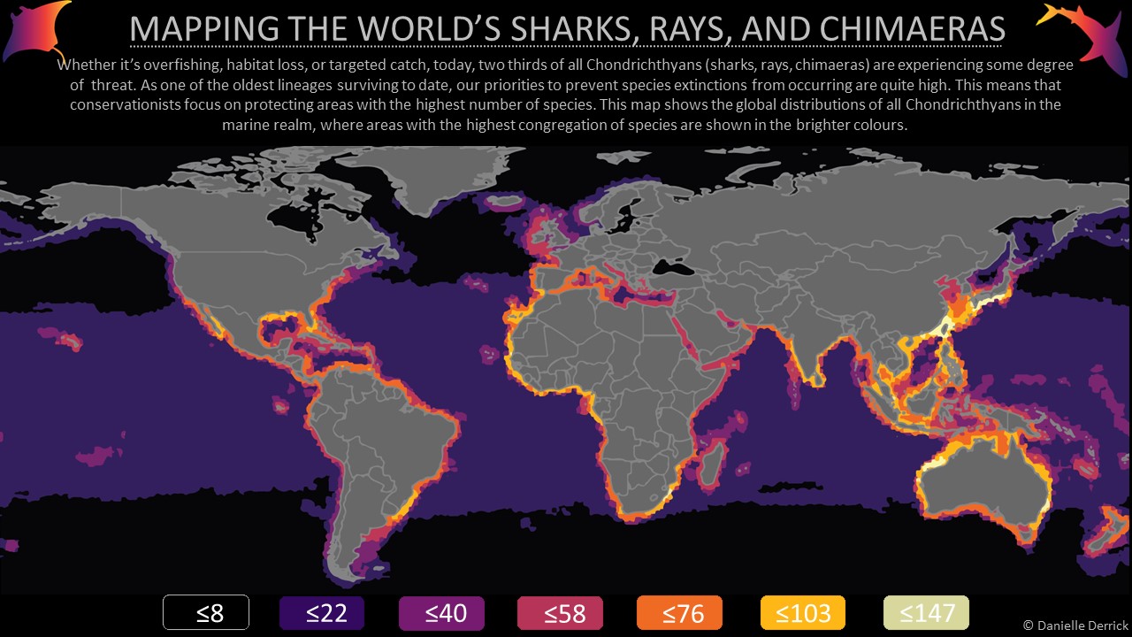 Connections between marine conservation and GIS
Posted 5 years ago
By Danielle Derrick in the SFU Blog
It’s fascinating to see the diverse world of ecology, conservation and marine sciences becoming enveloped in every expanding niche of spatial research. I am now more often seeing and reading the exciting new avenues that conservation and GIS are taking for species, ecosystems and countries alike. Conservation is a constant uphill battle and knowing where […]
Read More
 Is the world’s largest freshwater archipelago losing islands? How water levels impact coastal marshes


