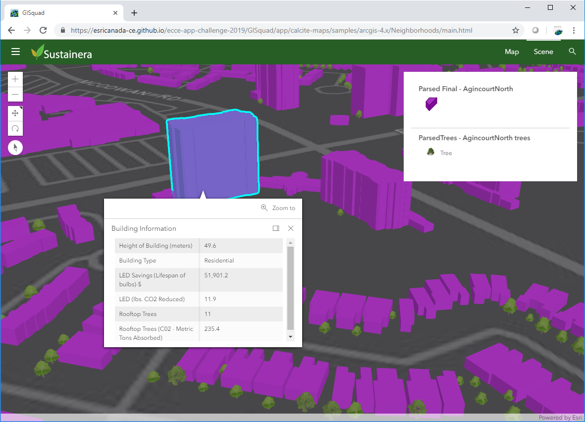
 ECCE App Challenge 2019 – Development and Design of a 3D Sustainability Web App
Posted 6 years ago
By Matthew Brown in the McMaster Blog
The App Challenge project discussed below can be viewed from the GISquad team’s profile on the ECCE GitHub website: https://esricanada-ce.github.io/appchallenge/2019/teams/mac/GISquad/ Congratulations to Matt, Tasos and Michele for ranking as the first runner-up in the competition! This post is a collaboration between McMaster ECCE Student Associates Matt Brown and Anastassios Dardas. A few weeks ago, our […]
Read More
 Highlights at SFU: the SIS certificate program and the Esri Canada Higher Education GIS Scholarship
Posted 6 years ago
By Cam McCulloch in the SFU Blog
This is a guest post by Cam McCulloch, the 2019 recipient of the Esri Canada Higher Education GIS Scholarship at Simon Fraser University. It was during my initial co-op work term that I had heard of GIS for the first time. I was working for a company trying to predict where mosquito populations would be […]
Read More
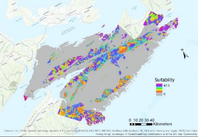 GIS as a Tool to Solve “Wicked” Problems
Posted 6 years ago
By Lily Barraclough in the Dalhousie Blog
This year I am three quarters done my undergraduate degree in Environmental Science and had the opportunity to take “Application of GIS in Environmental and Ecological Issues” at Dalhousie University as a part of my certificate in GIS. One of the first things I learned in my first year of environmental science was that environmental […]
Read More
 Top 5 Reasons to Switch to ArcGIS Pro
Posted 6 years ago
By Alexander Wray in the Western Blog
Why you should switch to ArcGIS Pro ArcGIS Pro 1.0 was released way back in January 2015 as part of the 10.3 update. The new application has struggled to gain traction among the Esri user base like any new software release. However, I decided to finally make the switch from 10.7 to ArcGIS Pro 2.3 […]
Read More
 Meet the winners of the ECCE App Challenge 2019
Posted 6 years ago
By Michael Leahy in the UW Blog
This year we held the fifth annual ECCE App Challenge, which has proven to be another great success. We had another a record turnout, with 24 teams participating from all 11 ECCE schools across Canada. The teams participating in the challenge this year were all tasked to create an app that addresses issues related to […]
Read More
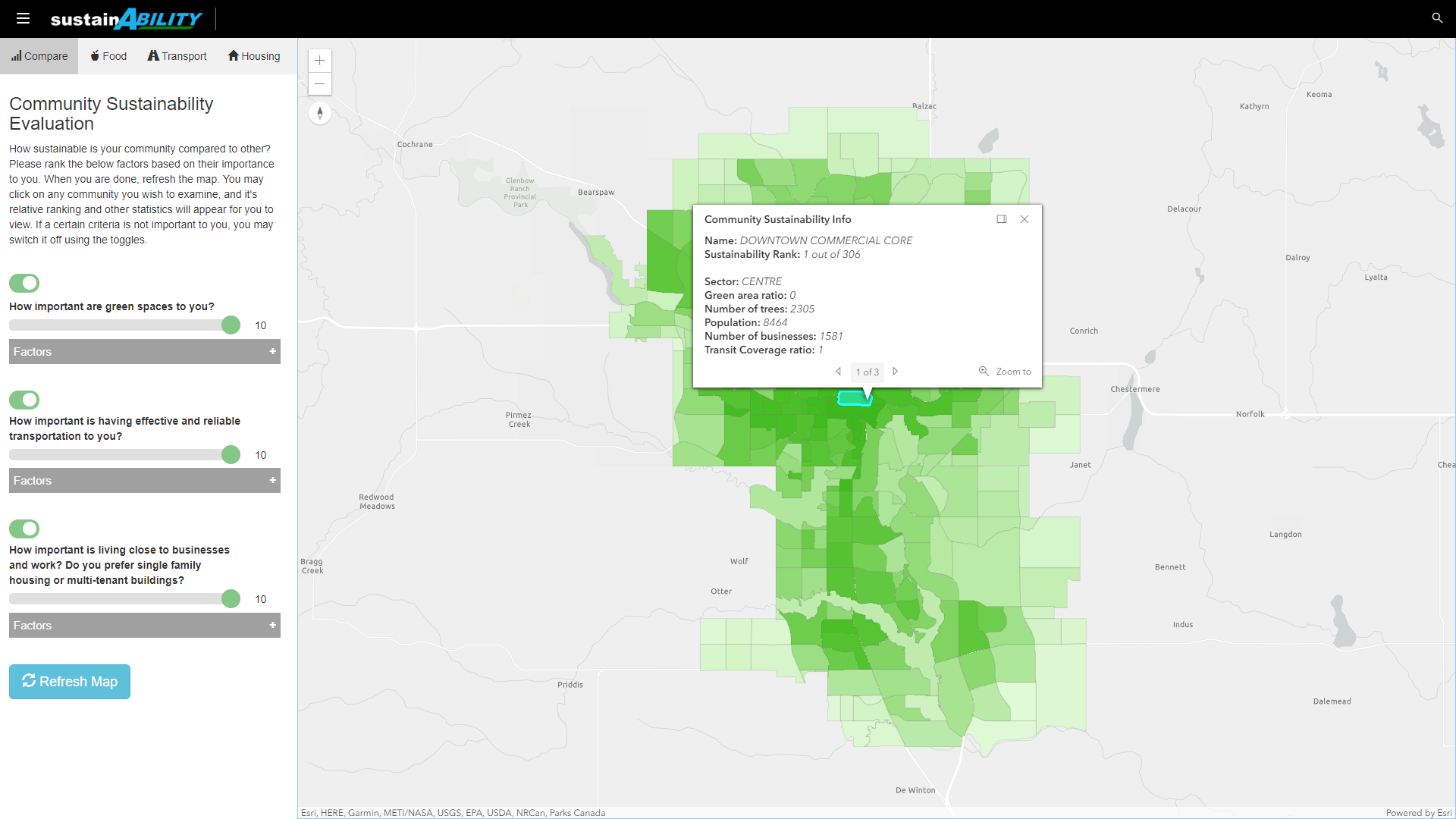 ECCE App Challenge 2019 – sustainABILITY
Posted 6 years ago
By Rodrigo Augusto de Oliveira E Silva in the UCalgary Blog
The App Challenge project that Rodrigo discusses below can be viewed from his team’s profile on the ECCE GitHub website: https://esricanada-ce.github.io/appchallenge/2019/teams/ucalgary/The_Four_Mapsketeers/ Participating in the ECCE App Challenge for the first time is something that I am going to remember for years to come. My team, The Four Mapsketeers, is composed by graduate students in Geomatics […]
Read More
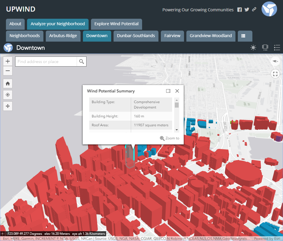 App Challenge 2019, UPWIND
Posted 6 years ago
By Rajveer Ubhi in the McMaster Blog
The App Challenge project that Rajveer discusses below can be viewed from his team’s profile on the ECCE GitHub website: https://esricanada-ce.github.io/appchallenge/2019/teams/mac/McMapsters/ Introduction This year I participated in the ECCE App Challenge for the second time. My teammates included Yorgan Pitt, Edward Seh-Taylor and Sean Leipe. Our app, UPWIND, is a web application that aims to […]
Read More
 ECCE App Challenge 2019 – How We Made an AR App in 5 Days
Posted 6 years ago
By Jaydeep Mistry in the UW Blog
The App Challenge project that Jaydeep discusses below can be viewed from his team’s profile on the ECCE GitHub website: https://esricanada-ce.github.io/appchallenge/2019/teams/uw/SpectaculAR/ ECCE App Challenge 2019 – How We Made an AR App in 5 days This post is co-written by my teammate Manpreet Chahal. Since 2015, the Esri Canada Centres of Excellence (ECCE) has been hosting […]
Read More
 App Challenge 2019, GISquad
Posted 6 years ago
By Michele Tsang in the McMaster Blog
The App Challenge project that Michele discusses below can be viewed from her team’s profile on the ECCE GitHub website: https://esricanada-ce.github.io/appchallenge/2019/teams/mac/GISquad/ This year I participated in the ECCE App Challenge for the third time. My team included Matthew Brown, lead designer, Tasos Dardas, lead developer, and myself, lead researcher. Our App, Sustainera, is a web […]
Read More
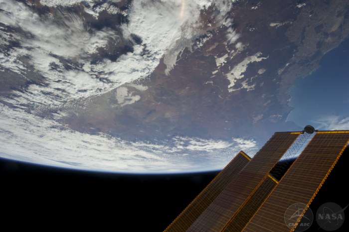 Exploring Space: The Chris Hadfield Space Photographs Collection
Posted 6 years ago
By Caitlin Cunningham in the Dalhousie Blog
This spotlight features Caitlin Cunningham’s overview of the project she worked on to build a storymap of photos by Chris Hadfield. The project was officially launched yesterday (Thursday, April 11 at 3 p.m. AT) at the Killam Library, Dalhousie University. More details are available in a Dalhousie news article, and Caitlin’s work was also featured […]
Read More
 ECCE App Challenge 2019 – Development and Design of a 3D Sustainability Web App


