 The McQuesten Urban Farm: A Look at Food Accessibility Using Service Areas and Origin-Destination Cost Matrices
Posted 5 years ago
By Nicole Langdon in the McMaster Blog
My final year of undergrad at McMaster University was spent studying a local landmark case in urban agriculture in Hamilton (ON)—the McQuesten Urban Farm. It was built to address the food security concerns of an east-end neighbourhood in the city and is operated by a combination of paid farmers and local volunteers. Ultimately, the goal […]
Read More
 Discovering Data for the ActivScore: The Challenges of using Municipally, Provincially, and Federally Managed Data
Posted 5 years ago
By Lily Barraclough in the Dalhousie Blog
I’m currently in the midst of my undergraduate honours thesis and have been awoken to the joys of finding accurate and complete datasets. I am working to create a physical activity score for the province of Nova Scotia based on built and natural environment features. Nova Scotia is particularly challenging for this sort of analysis […]
Read More
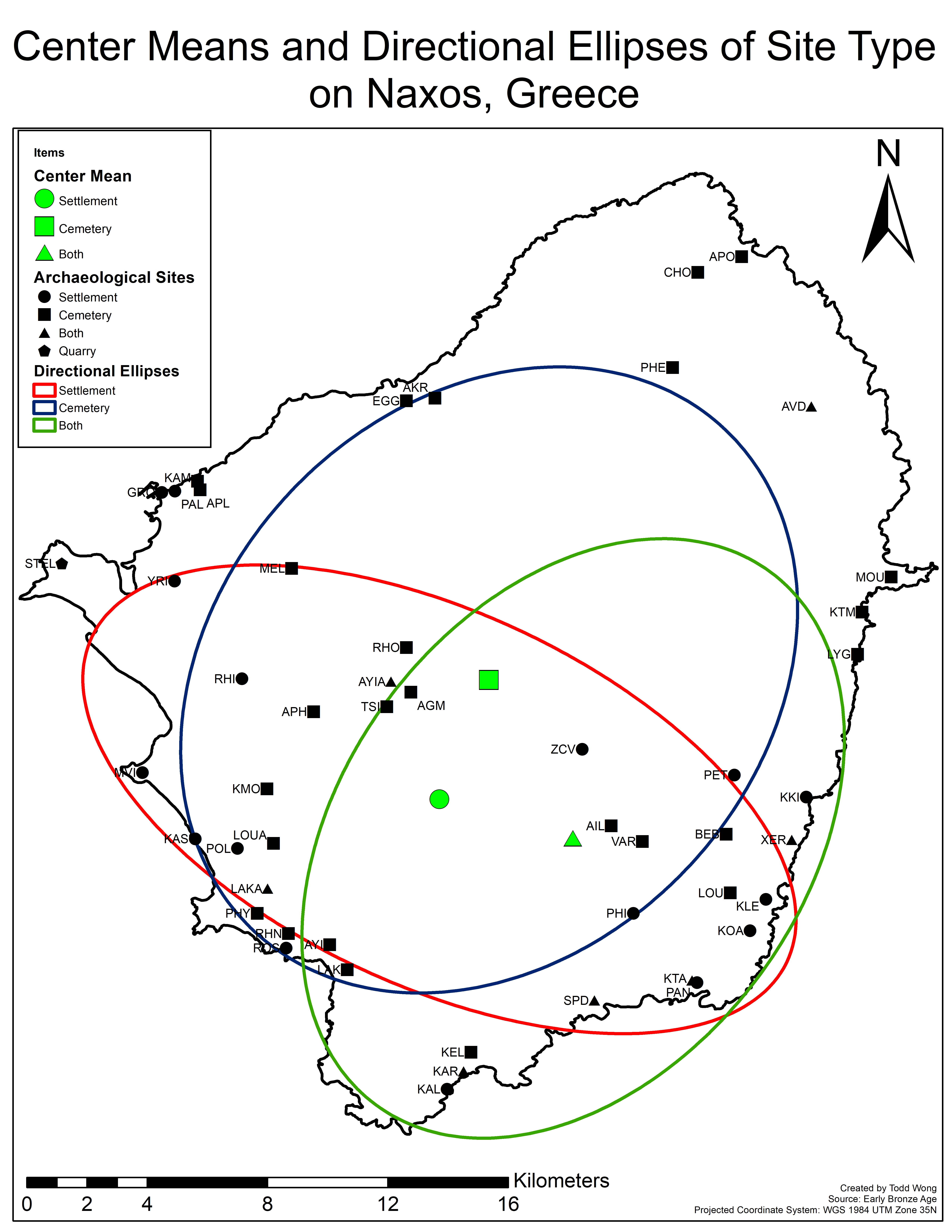 GIS Summary of SNAP 2019 (Part 1): Null landscape Settlement Patterns using ArcGIS Pro and R
Posted 5 years ago
By Todd Wong in the McMaster Blog
Over the summer, I spent six weeks on the island of Naxos, the largest island belonging to the Cycladic sister islands. From the end of May to the beginning of July I acted as the GIS specialist in a team combining undergrads and grad students from Canada, Greece, and the UK, making up a large […]
Read More
 A Spatial Tale of Time
Posted 5 years ago
By Malcolm Little in the Western Blog
Several months into being an ECCE associate comes amidst synchrony with being several months into a Masters thesis. In my particular case, utilization of Esri software has increased geometrically. From tandem use of ArcGIS Pro 2.x and ArcCatalog 10.x (still feel more comfortable with the dedicated app for spatial-file management), to Portal integrations, to Story […]
Read More
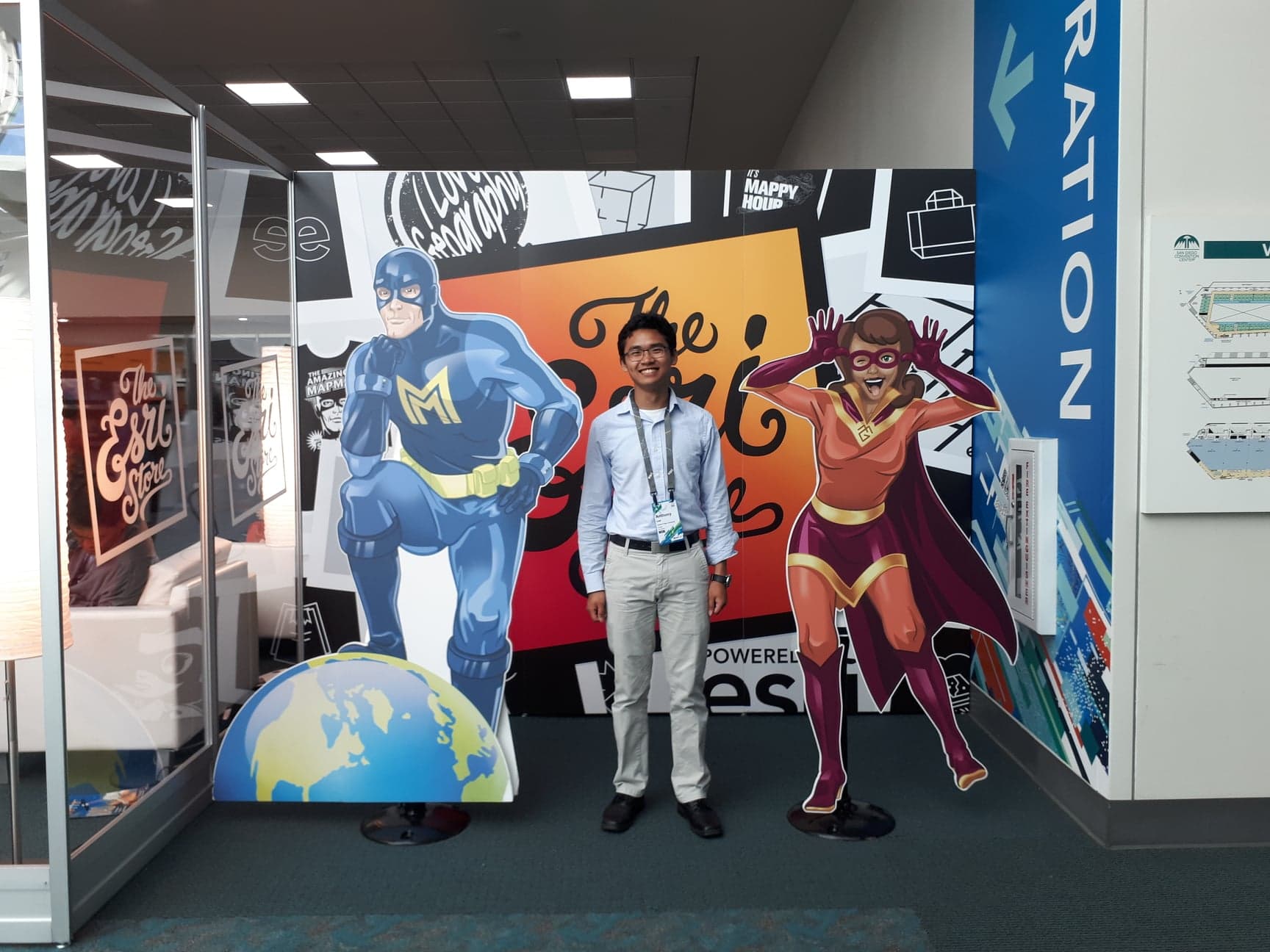
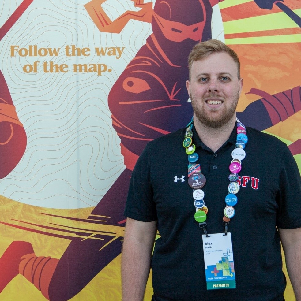 Esri UC 2019 under the lens of an SFU Geography Grad
Posted 6 years ago
By Alexander Smith in the SFU Blog
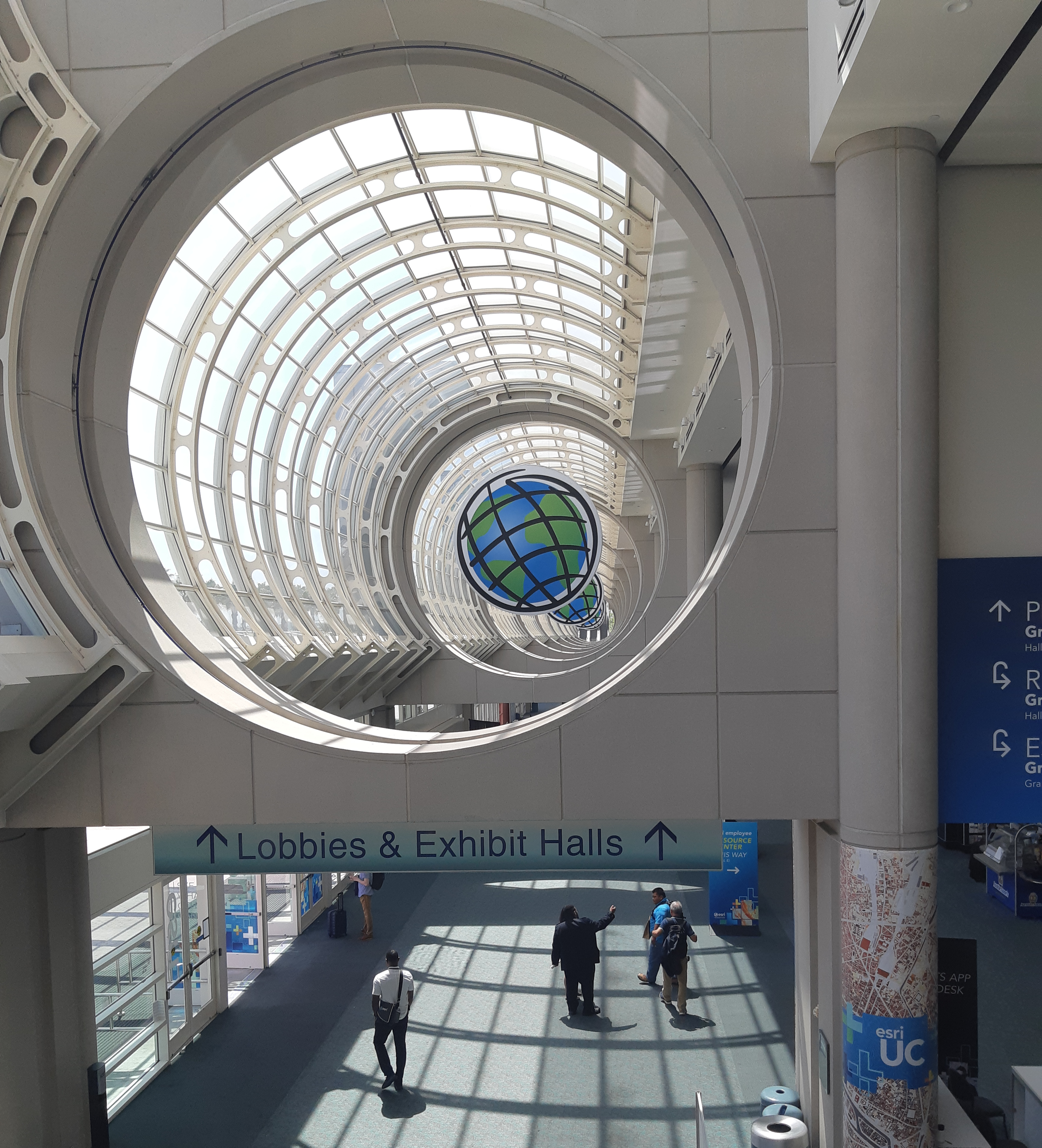
During July 8-12th 2019 I had the amazing opportunity to attend and present a paper at the 2019 Esri User Conference (Esri UC) in San Diego. At the Conference, I had the chance to meet some of the other 19,000 attendees from around the globe who make the Esri UC the largest GIS conference in […]
Read More
 Mobility Accessibility and GIS
Posted 6 years ago
By Zachary Lamoureux in the UCalgary Blog
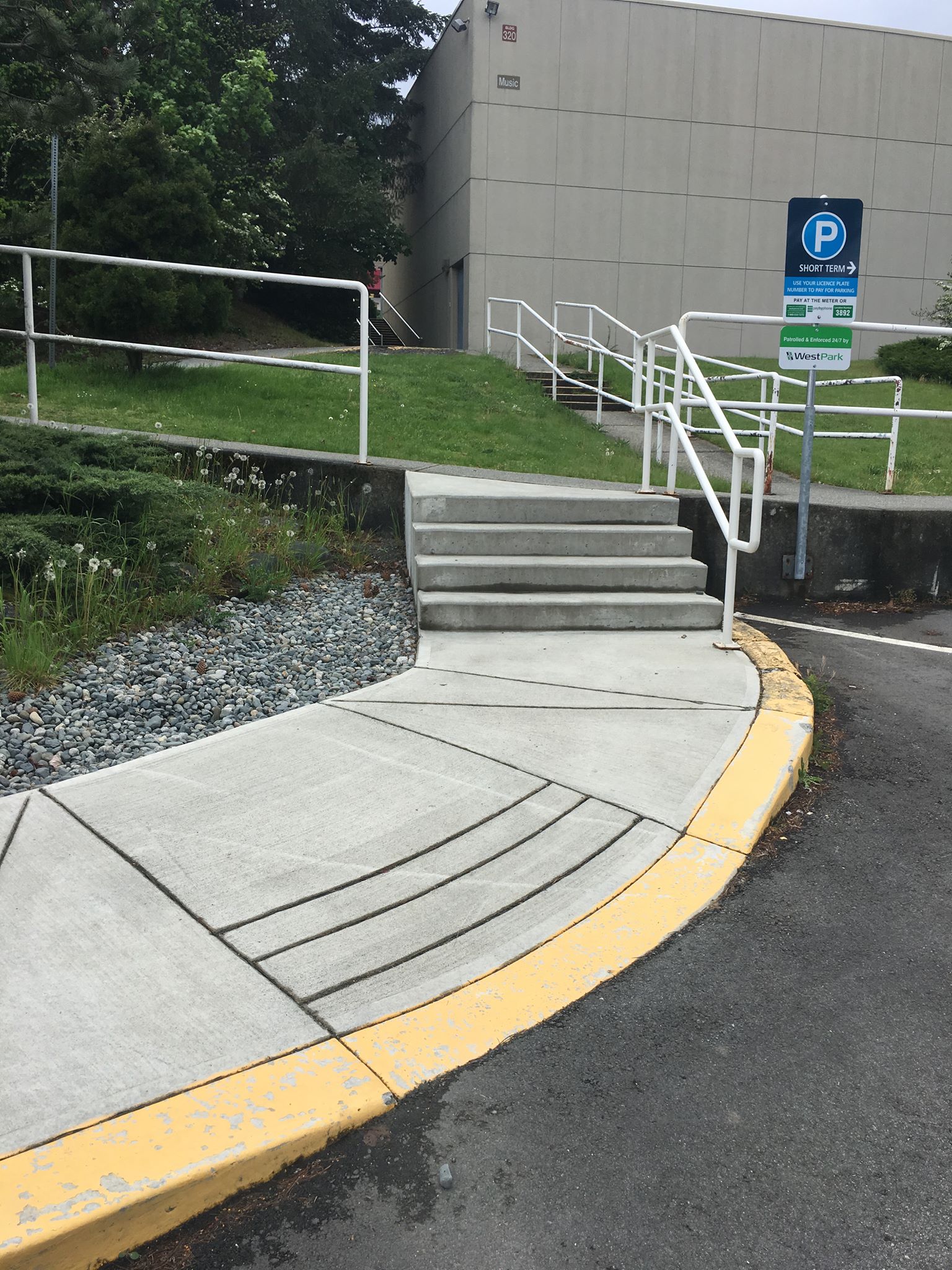
There is no such thing as a disabled individual – rather, everyone is differently-abled. However, most infrastructure is not equipped to handle everyone’s unique way of being. For example, individuals in wheelchairs, parents pushing strollers, individuals living with auditory or visual impairments, and people handling sports injuries all have specific mobility needs that may or […]
Read More
 Education and Research @ Esri UC 2019
Posted 6 years ago
By Michael Leahy in the Main Blog
Earlier this month, we were back in California for the Esri User conference in San Diego with members of our Education and Research group and others from Esri Canada, and about 600 attendees from Canada. Among those were over 40 students and faculty/staff attending from education institutions across Canada. The conference itself hosted over 17,000 […]
Read More
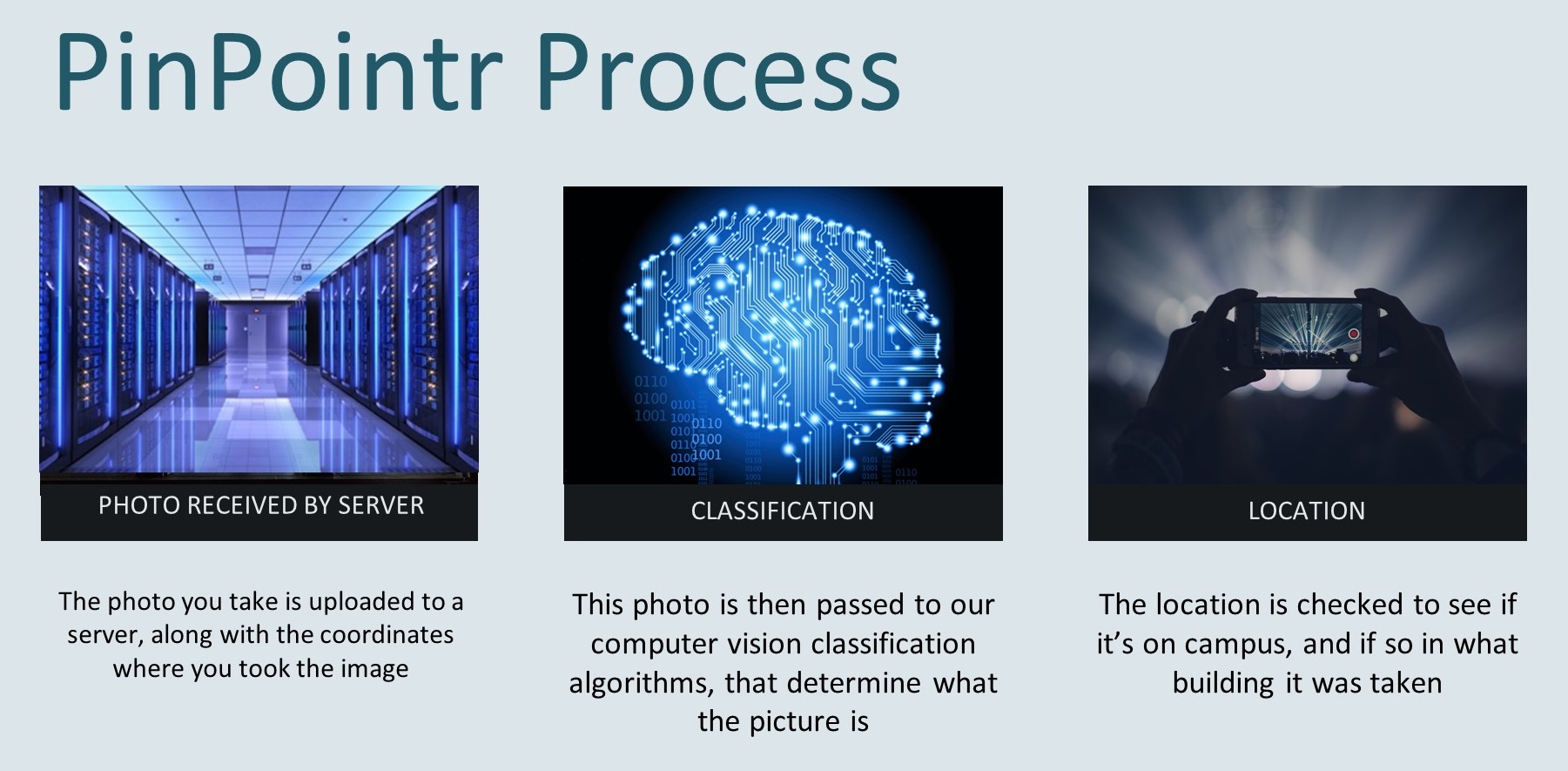 PinPointr
Posted 6 years ago
By Patrick De Luca in the McMaster Blog
This past academic year, I had the pleasure of being a faculty advisor for a group of four Computer Science students completing their 4th year capstone project. How did this arrangement come to be? I was approached early in the fall term by Victor Timpau, who was enrolled in the Introduction to GIS course that […]
Read More
 Random Forest Classification with R and Collector for ArcGIS
Posted 6 years ago
By Sean Leipe in the McMaster Blog
I’m currently in my 1st year of my M.Sc degree at McMaster University, working in the Watershed Hydrology Group under Dr. Sean Carey. My research focuses on evaluating vegetation change in Wolf Creek, Yukon Territory through fusion of remotely sensed data. My main objective is to use a combination of LiDAR (Light Detection and Ranging), […]
Read More
 My Experience as a Student Associate with the SFU ECCE
Posted 6 years ago
By Anthony Lee in the SFU Blog
In addition to writing about his experiences as an ECCE student associate below, Anthony Lee was also a member of the winning App Challenge team last year, and joined us along with his teammates at the Esri International User Conference in 2018. You can view their team profile and live app demo hosted from the […]
Read More

