 Playing “Where’s Waldo” with Abandoned Features
Posted 6 years ago
By Cameron Fitzpatrick in the Carleton Blog
Anyone who knows me well will know I love trains. Ever since I was 6 years old, I’ve been fascinated by their sheer size, power, and the mystery associated with where a train has come from, and where it is going. That’s why I wanted the focus of my final project for a second-year GIS […]
Read More
 Learning through Teaching
Posted 6 years ago
By Lama Farhat in the Dalhousie Blog
Hello! My name is Lama and I am currently in my fourth year of my Environmental Science degree with a certificate in GIS. I’ve been taking GIS classes since the end of my second year and have loved it ever since, which is partially why I am pursuing a certificate in it. This semester I […]
Read More
 Making the Old New Again
Posted 6 years ago
By Alan Armstrong in the Carleton Blog
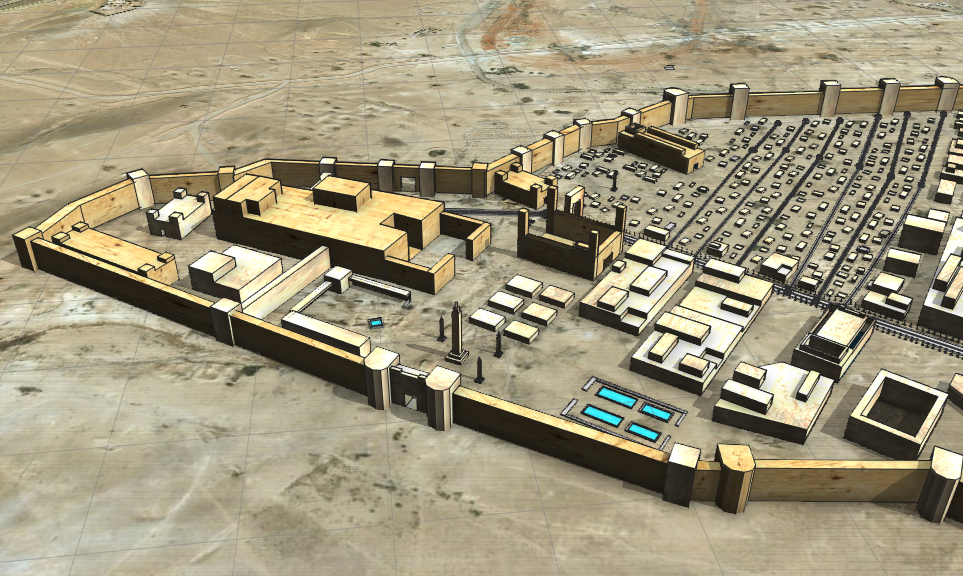
3D Reconstruction of Palmyra cir.300CE Using CityEngine Amidst all that is going on in the world presently, there is an ongoing struggle to preserve pieces of the past in all shapes and forms. This is experienced all around the world in almost every type of environment, and by almost every person on the planet. Whether […]
Read More
 The Little graduate that could
Posted 6 years ago
By Malcolm Little in the Western Blog
Greetings, fellow ECCE associates. My name is Malcolm, a Master’s candidate at Western University in London, Ontario. It’s been almost three months since I shifted my life 4000 kilometers due east of my hometown of Surrey, BC; that’s a network distance, not Euclidean. The usual adjustments to new geographic phenomena occupy a corner of my […]
Read More
 Esri MOOC Review: “Cartography.” – A Great Free Resource
Posted 6 years ago
By Matthew Brown in the McMaster Blog
Education nowadays is extremely expensive. The average Canadian tuition cost for the 2017-18 school year was $6,571 – a 3.1% increase from the previous year (Statistics Canada, 2017). E-Learning platforms like Udemy, SkillShare, and Teachable are on the rise as more cost-effective ways of learning new skills or subjects. My university education has been extremely […]
Read More
 Cloud-based Services for Interactive, Collaborative, Smart Cities Platforms
Posted 6 years ago
By Tianming Wei in the UVic Blog
This spotlight post showcases the work that Tianming Wei has been involved over the past year related to a series of NSERC grants at the University of British Columbia and the University of Victoria in collaboration with Esri Canada. He became an ECCE student associate at UVic earlier this year after participating in the App […]
Read More
 My experiences so far…
Posted 6 years ago
By RJ Mitchell in the Carleton Blog
Hello Everyone, My name is RJ Mitchell and I’m a 3-rd year undergraduate student at Carleton University. I major in Geomatics Engineering and double-minor in Business: Entrepreneurship and Indigenous Studies. My original motivation to study geomatics was to eventually become a land surveyor, but the more I learn about the environmental applications of GIS, the […]
Read More
 GIS for Health: An example of the modifiable areal unit problem
Posted 6 years ago
By Alexander Wray in the Western Blog
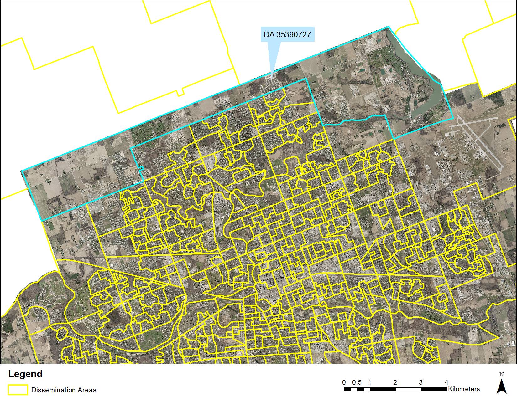
Hi All. This is my first post to the Esri Canada Centres of Excellence blog – it will be a short introduction to me, and an overview of a recent project I worked on for the Middlesex-London Health Unit that exemplifies the challenges of the modifiable areal unit problem (1). I am excited to be […]
Read More
 Flood Depth Mapping in Calgary, Alberta
Posted 6 years ago
By Michele Tsang in the McMaster Blog
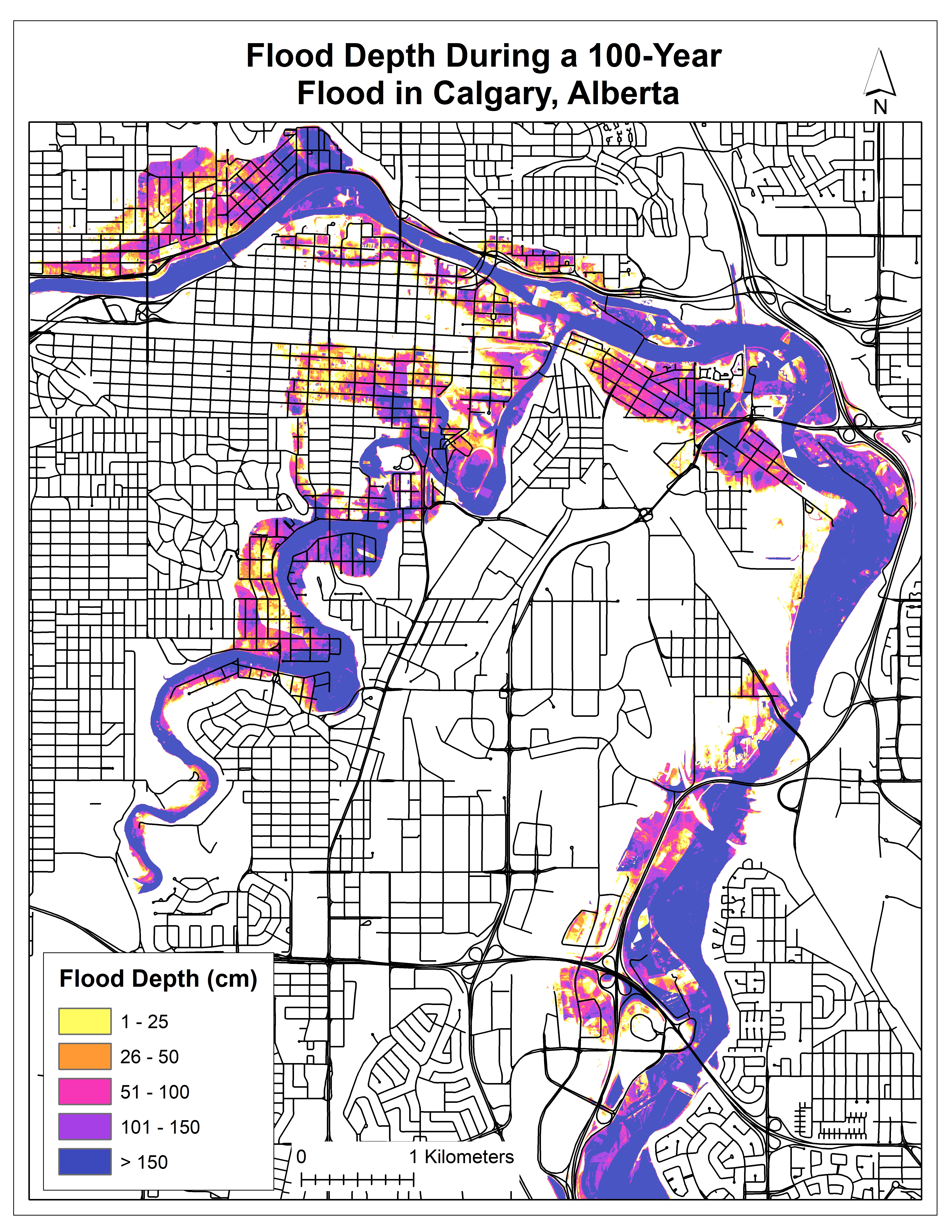
I am currently in the second year of my M.Sc. degree at McMaster University, working with my supervisor, Dr. Darren Scott. Right now, I am in the middle of processing my data and have some preliminary results to share. Extreme weather events, such as floods, can cause severe consequences to the road network, such as […]
Read More
 The evolution of Web-GIS as a resource for Indigenous communities in British Columbia
Posted 6 years ago
By Dexter Robson in the UVic Blog
Hello everyone, My name is Dexter, and I’ve just started an MA at the University of Victoria in Geography. I have read some previous posts, and see that the focus is heavily on data analysis. Disclaimer: I’m a little bit of an outsider when it comes to geomatics, and have a background in environmental studies. […]
Read More
 Playing “Where’s Waldo” with Abandoned Features


