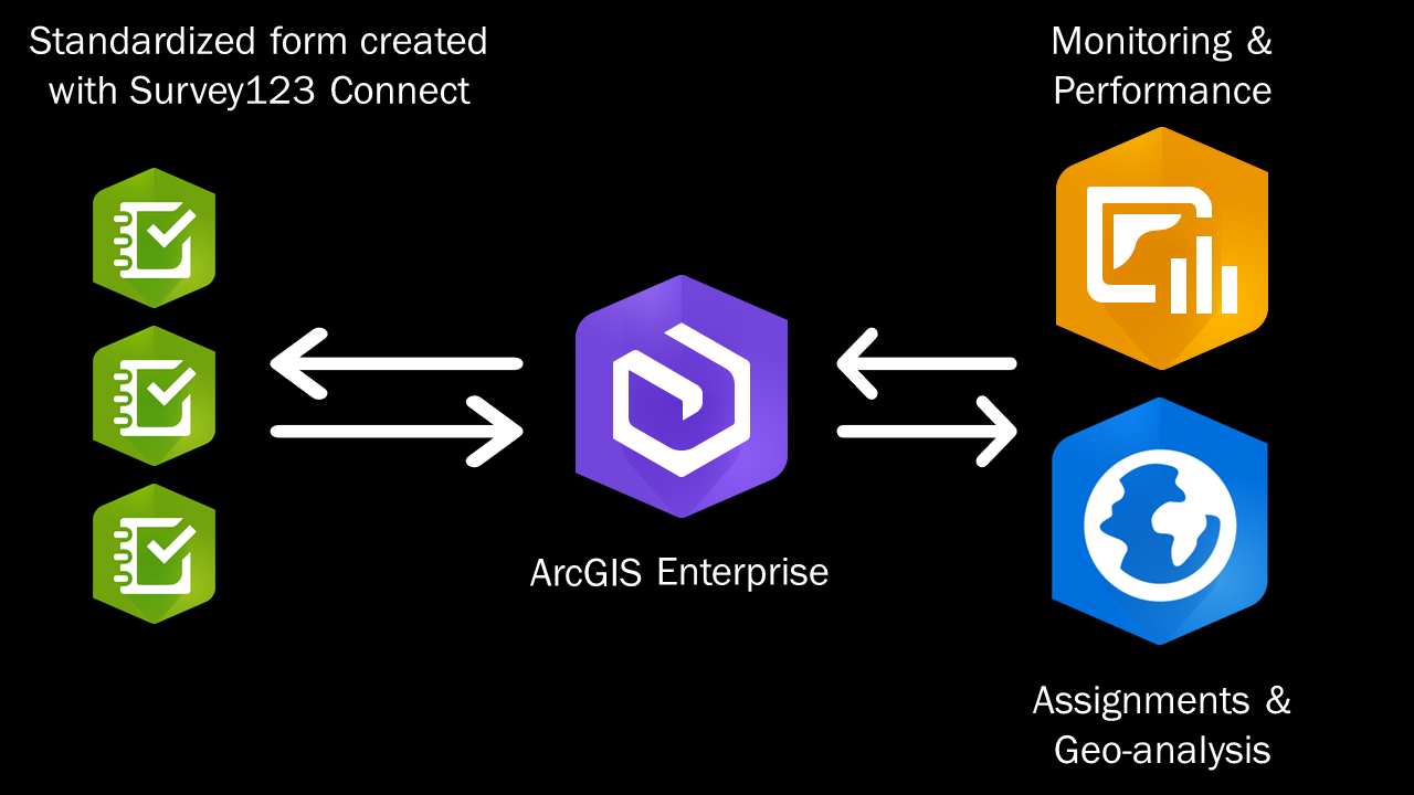
 Using Survey123 and Portal for ArcGIS to manage a large team related to COVID-19 economic recovery research
Posted 4 years ago
By Alexander Wray in the Western Blog
Learn how the Human Environments Analysis Lab (HEAL) at Western University has implemented a large research project on COVID-19 economic recovery using Survey123 and ArcGIS Enterprise.
Read More
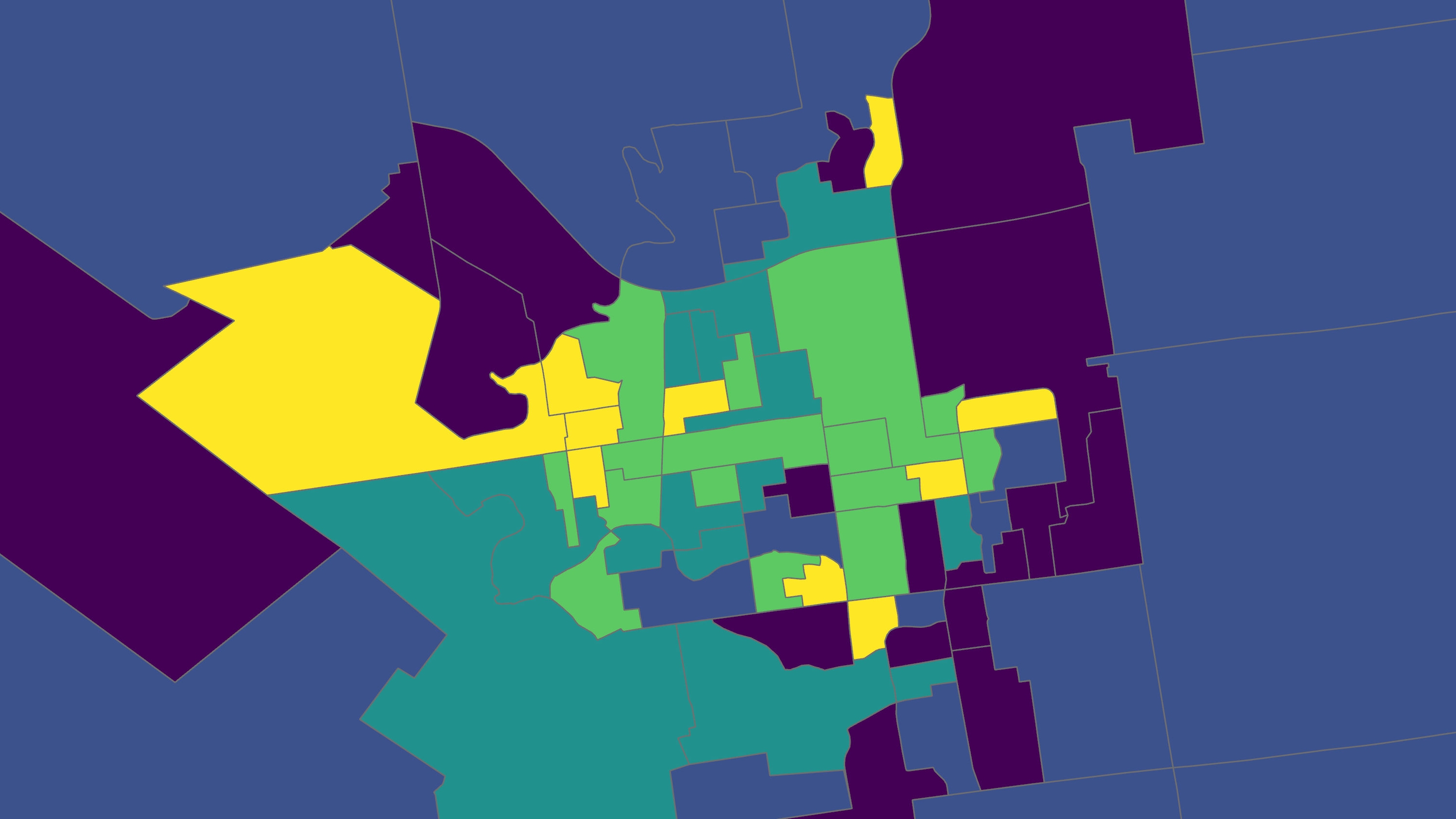
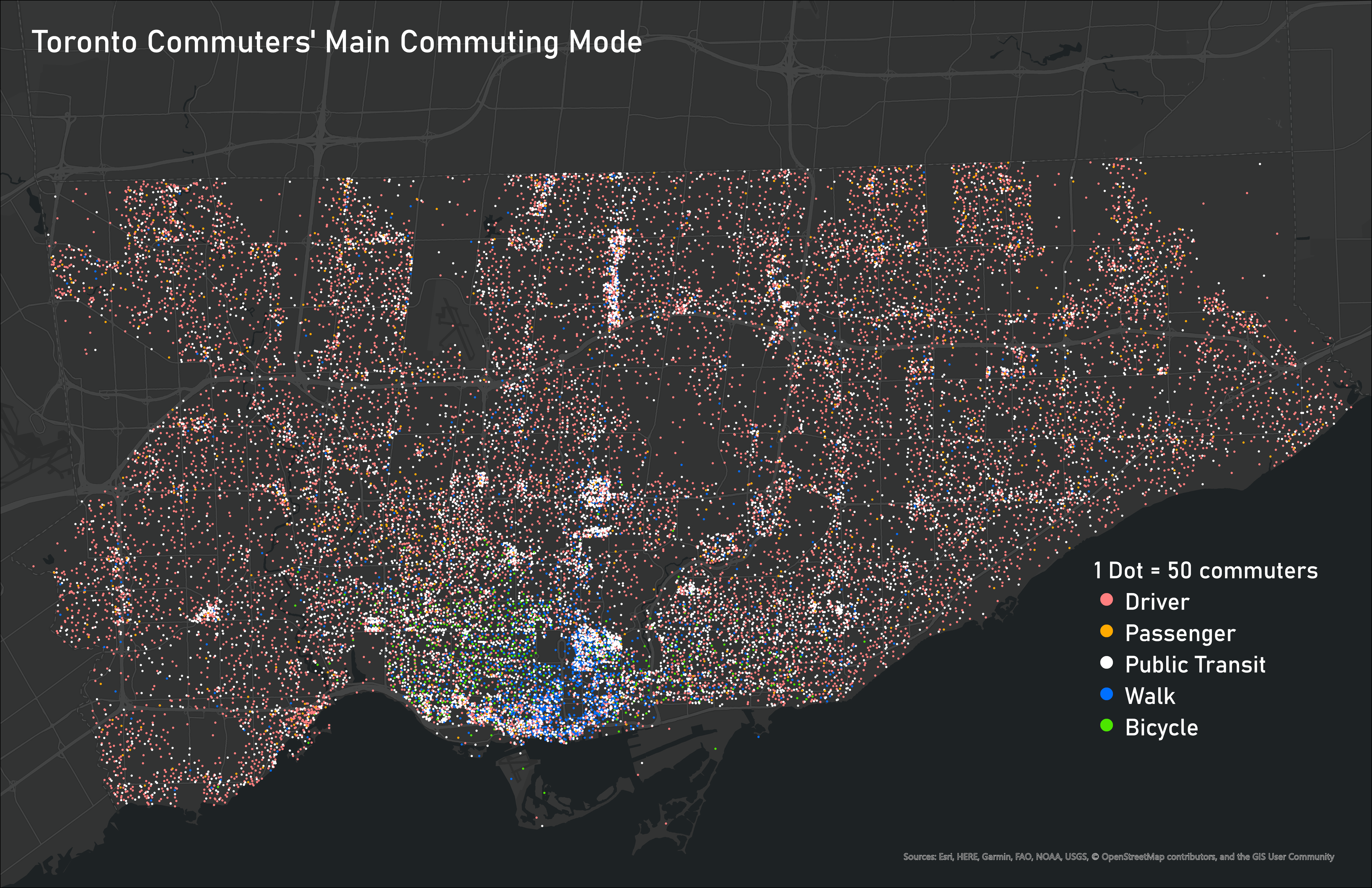 Ideas for Displaying Categorical and Time-Based Data
Posted 5 years ago
By Ben Klar in the Western Blog
Deciding the best way to visualize your data is one of the most important steps in making sure that message is clear and understood by the reader. But when you are working with many different variables, it can be challenging to display them all together on one map to show the connections between different categorical […]
Read More
 The Completion of the ECCE App Challenge 2020
Posted 5 years ago
By Victoria Barlow in the Western Blog
This was my second year completing the ECCE App Challenge. This year was exciting as I was able to build off of what I had learned about the challenge last year and it was my first time being a team leader. The challenge went differently than expected as it had to be completed through virtual […]
Read More
 Presenting at the Esri GIS in Education and Research Conference
Posted 5 years ago
By Jack McIlraith in the Western Blog
So far, my masters program has consisted of me learning to do a lot of things I haven’t done before. One of the latest firsts was the chance to present some of my masters research at the Esri Canada GIS in Education and Research Conference at the University of Toronto. While I was preparing, I […]
Read More
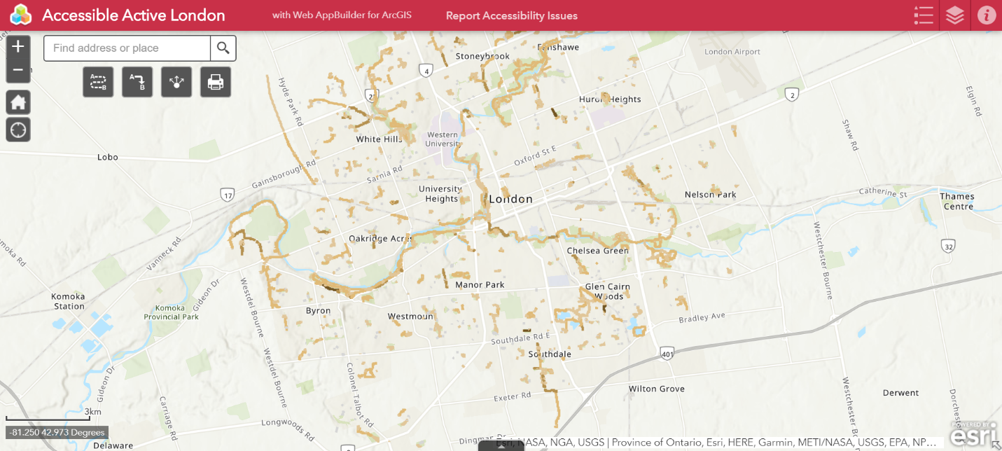
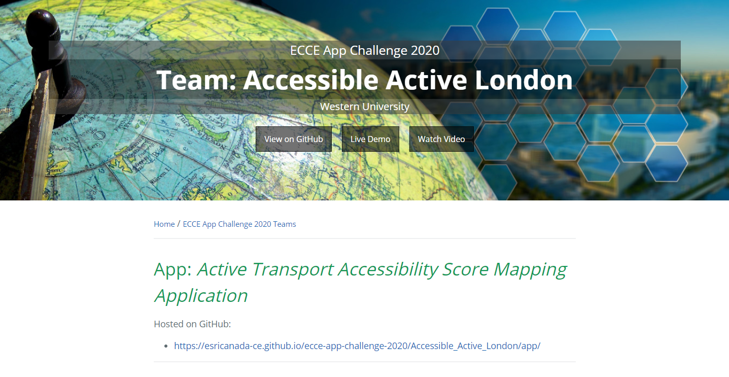 Participating in the ECCE App Challenge 2020
Posted 5 years ago
By Jack McIlraith in the Western Blog
This March I participated in the ECCE App Challenge as part of the team from Western University. I had the chance to join the team led by Western Geography People’s Society co-president Victoria Barlow (shout out to Victoria for taking the lead). This year’s app challenge theme was heath – our app focused on accessibility […]
Read More
 Geospatial technology in the age of COVID-19
Posted 5 years ago
By Alexander Wray in the Western Blog
The COVID-19 pandemic has affected the entire world. Universities and colleges were forced to rapidly move classes online, cities have implemented far-reaching physical distancing policies, and many businesses have closed or transitioned their options to remote, takeout, or delivery online models. This situation has demonstrated how interconnected our globalized world has become, and exposed existing […]
Read More
 Quantitatively and Objectively Defining “Purposeful” Spaces
Posted 5 years ago
By Malcolm Little in the Western Blog
My, how time flies when embedded deep within the academic sphere of influence. One such as myself, pursuing the status – and the skills needed to attain that status – is constantly bombarded with fruitful distractions. But at heart, I am a passionate GIS lad, one who indulges in GIS software courses to an almost […]
Read More
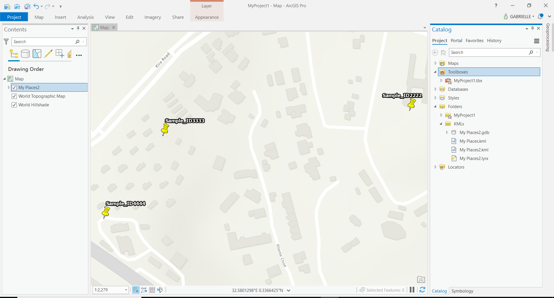 From Google Maps to Shapefile
Posted 5 years ago
By Gabrielle Bruser in the Western Blog
Hello, Since I struggled to go from a google maps location to a shapefile, I thought it could be useful to write out the steps that I took in case anyone else goes through the same struggle. Undoubtedly I did this as an exercise in and undergrad GIS course, but it’s a whole other can […]
Read More
 Teaching with GIS
Posted 5 years ago
By Alexander Wray in the Western Blog
Geographic information systems (GIS) can be intimidating at first glance for the unfamiliar person. Esri has made some excellent progress in developing more intuitive point-and-click applications such as ArcGIS Online and ArcGIS Pro, however, there is a steep learning curve in using a GIS. Over this past term, I have had many opportunities to introduce […]
Read More
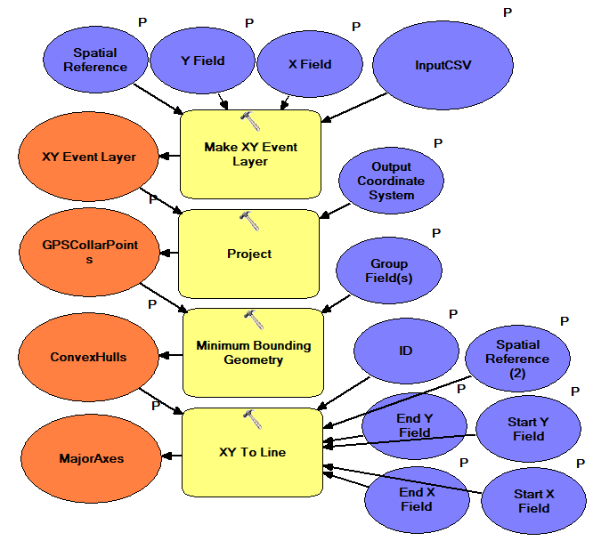 Beginnings of my ECCE Student Associateship, Graduate Studies and Animal GPS Tracking Research
Posted 5 years ago
By Jack McIlraith in the Western Blog
As a new ECCE Student Associate and beginning graduate student at Western University, I am looking forward to continued refinement of my geographical information science (GISci) knowledge and skills in the upcoming two or so years. My master’s research will be on the movement behaviour of feral swine, including pack (sounder) assignment, territoriality, and habitat/movement […]
Read More

