 Using GIS to Model Transportation Problems – A case study of Hamilton, Ontario’s Highways
Posted 7 years ago
By Matthew Brown in the McMaster Blog
As I hinted at in my last post, I want to now take the opportunity to share some of the research that I conducted for my undergraduate thesis. My topic stemmed from an idea about the controversy I grew up around in my home town of Hamilton, Ontario surrounding the two local highways – the […]
Read More
 GIS Day at McMaster
Posted 7 years ago
By Michele Tsang in the McMaster Blog
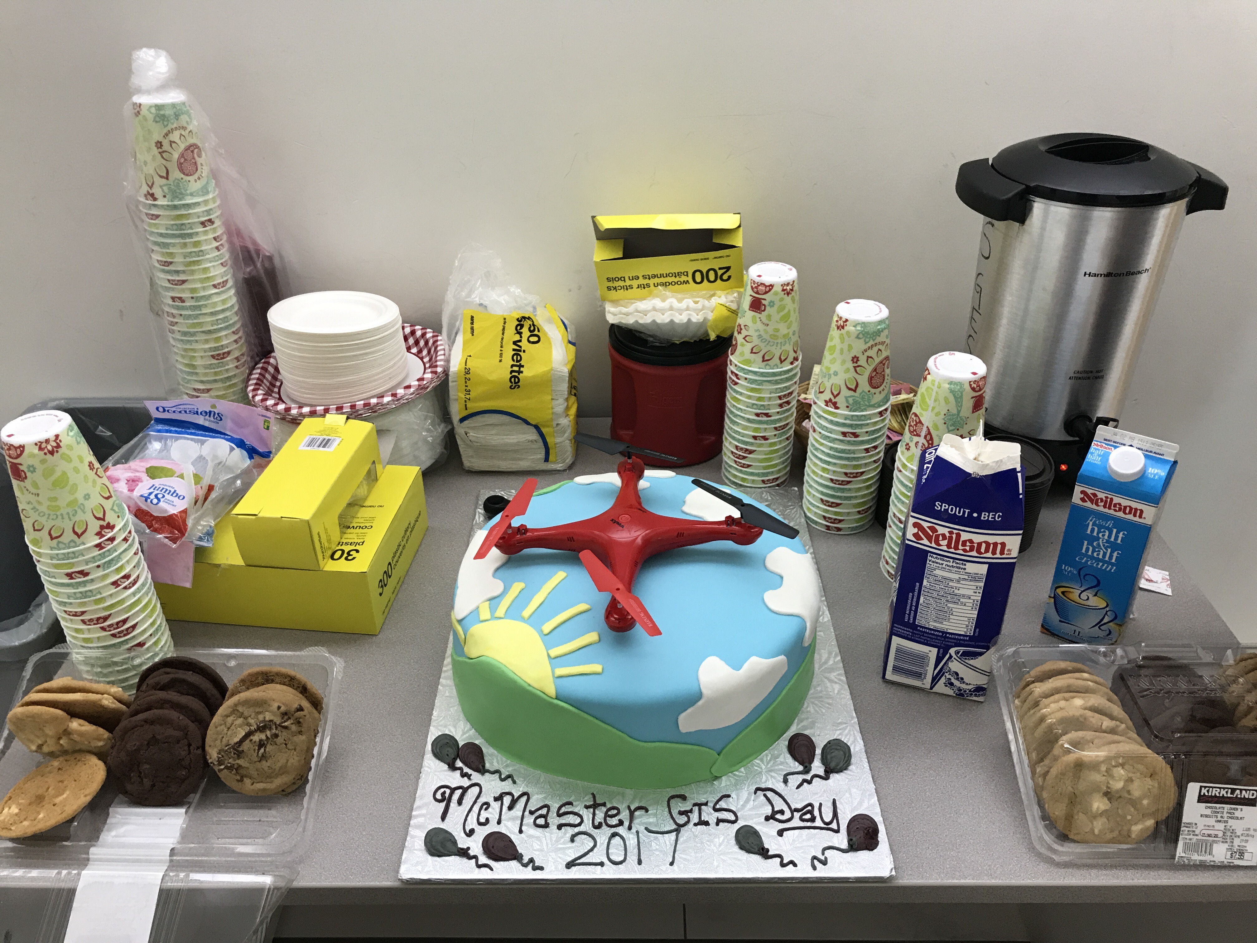
McMaster University held their annual celebration for GIS Day on November 17, organized by Patrick DeLuca. The day consisted of lightning talks focusing on research from both the natural and social sciences. The talks showcased how interdisciplinary GIS is as there were presenters from the McMaster Institute of Transportation and Logistics, School of Geography and Earth Sciences, […]
Read More
 GIS in Education and Research and ESRI Canada User Conference: My Experience
Posted 7 years ago
By Rajveer Ubhi in the McMaster Blog
A few weeks ago, I got the chance to attend the GIS in Education and Research Conference hosted at the University of Toronto. The day started off with a plenary session in the Hart House. Alex Miller, President and founder of Esri Canada, began the conference with a short talk on GIS: the science of […]
Read More
 Contrasting Conferences: GIS in Education and Research and ESRI User Conference Toronto
Posted 7 years ago
By Ed Taylor in the McMaster Blog
As a new addition to the ECCE group of student associates at McMaster University I was rife with anticipation to attend two compelling events hosted by Esri Canada – the GIS in Education and Research Conference (held at Hart House, University of Toronto) and the Toronto User Conference (held at the Toronto Congress Centre). Being […]
Read More
 Natural Language Processing: The Frontier to Qualitative GIS
Posted 7 years ago
By Anastassios Dardas in the McMaster Blog
When people talk about GIS, there are several factors that come up to mind instantly, such as creating beautiful maps, spatial analyses, and quantitative data. But what about qualitative GIS? Does that come up in your mind? At this time of writing (2017), there is a good chance that the answer is no; however, I […]
Read More
 GIS in Education and Research Conference – an Undergrad’s Perspective
Posted 7 years ago
By Sean Leipe in the McMaster Blog
A few weeks ago on October 11th I was fortunate enough to attend the Esri Canada Education and Research Conference with several of my McMaster GIS colleagues at the beautiful University of Toronto campus. The plenary and opening session featured Dr. Cynthia Brewer of Penn State, creator of the famous ColorBrewer app. The ColorBrewer presentation […]
Read More
 GIS in Education and Research Conference – My Experience
Posted 7 years ago
By Matthew Brown in the McMaster Blog
This past Wednesday, October 11th, me and a few of my colleagues got the opportunity to attend the Esri Canada GIS in Education and Research conference at the University of Toronto campus. This conference occurs every two years and attracts educators and students in the field of GIS. It was my first time visiting the […]
Read More
 Land Cover Change in the Badlands of Italy using Remote Sensing
Posted 7 years ago
By Michele Tsang in the McMaster Blog
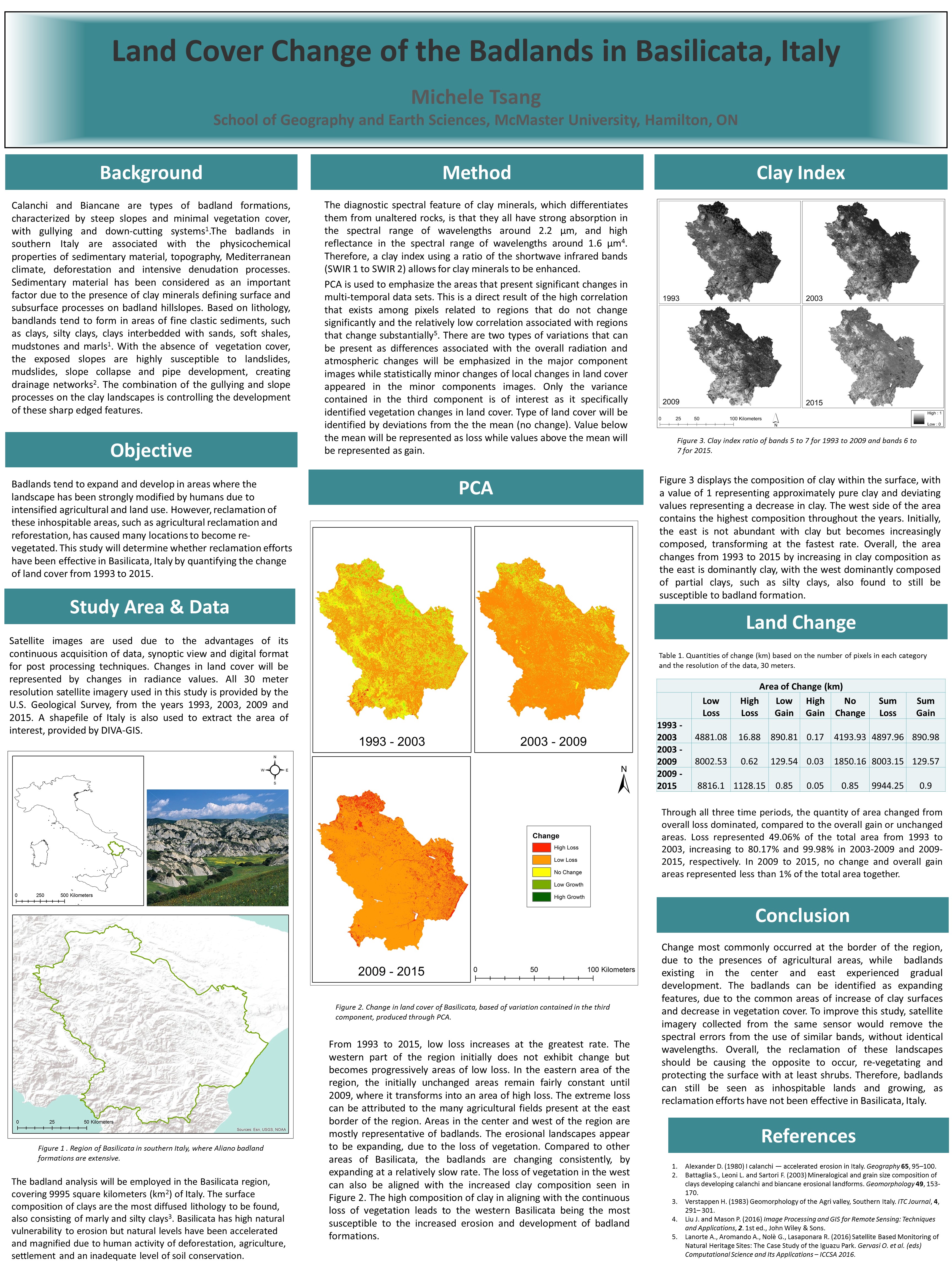
I am currently a first year Master’s student at McMaster University, working for Dr. Darren Scott. I just graduated from McMaster in April 2017, with a degree in Honors Earth and Environmental Science and a minor in GIS. During my fourth year, I completed an undergraduate thesis with the help of my supervisor, Patrick DeLuca. […]
Read More
 Blending R’s Hidden Gem and WebGIS Development: A Live Case
Posted 8 years ago
By Anastassios Dardas in the McMaster Blog
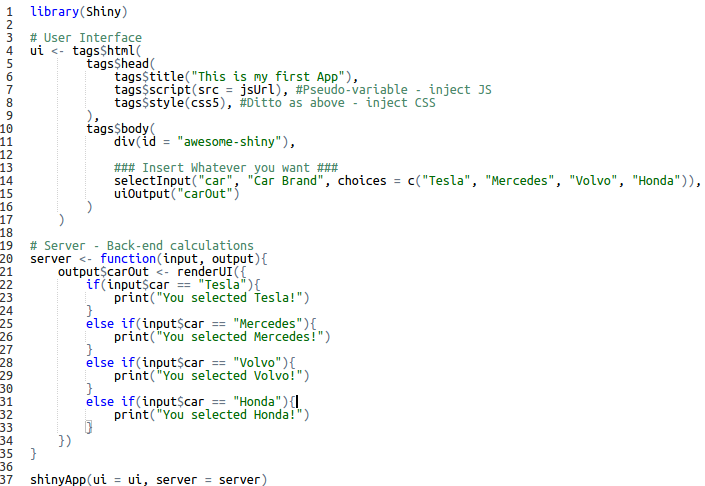
My teammates, Karl Chastko and Spencer Elford, and I competed this years Esri’s App Challenge on sustainable transportation. The development of our app (check it out) was something unique from the standard way of web development (i.e. HTML, CSS, and JavaScript). Some of you guys may be thinking, “What’s so unique?” Others may think that […]
Read More
 Sean Leipe – ECCE Student Associate at McMaster
Posted 8 years ago
By Sean Leipe in the McMaster Blog
I’ve just completed my 4th year at McMaster University, majoring in Earth and Environmental Sciences with a minor in GIS. Though I enjoy the core earth sciences I’ve been much more focused on the GIS side since enrolling in an introductory course back in 2nd year, and have taken every available GIS course since! This […]
Read More
 Using GIS to Model Transportation Problems – A case study of Hamilton, Ontario’s Highways


