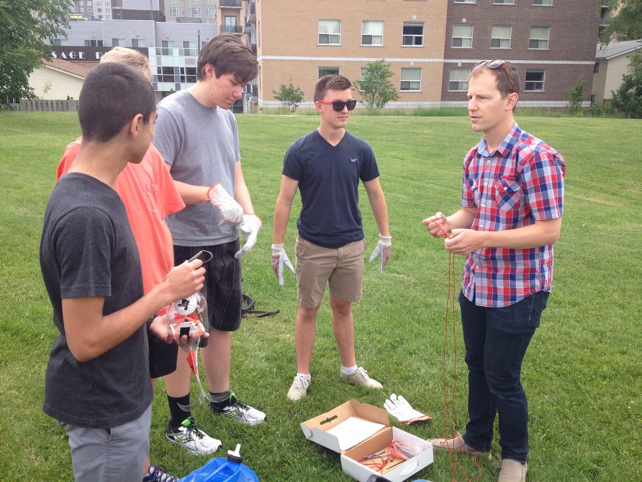
 Capturing Balloon Airphotos with Waterloo Collegiate Institute (WCI) Geotech Magnet Program
Posted 8 years ago
By pjohnson in the UW Blog
The following post is also published by Dr. Peter Johnson on the Geospatial Participation research website. We are fortunate here in Waterloo Region to have access to a unique high school-level program focused on geospatial technologies. The Waterloo Region District School Board offers a Geotechnology magnet program at Waterloo Collegiate Institute (WCI) high school. This program […]
Read More
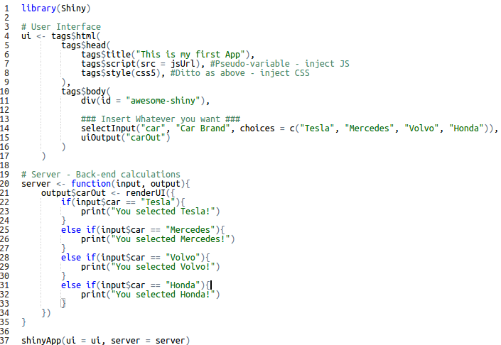 Blending R’s Hidden Gem and WebGIS Development: A Live Case
Posted 8 years ago
By Anastassios Dardas in the McMaster Blog
My teammates, Karl Chastko and Spencer Elford, and I competed this years Esri’s App Challenge on sustainable transportation. The development of our app (check it out) was something unique from the standard way of web development (i.e. HTML, CSS, and JavaScript). Some of you guys may be thinking, “What’s so unique?” Others may think that […]
Read More
 Mapping Packet Routes
Posted 8 years ago
By Zoë Henderson in the UVic Blog
Hello, I’m Zac, a student at University of Victoria majoring in Geomatics (a joint Computer Science and Geography program). Today I’ll be writing about one of the first programs I wrote years ago. Have you ever been curious about the path your packets take geographically, between your computer and the sites you visit? The unix […]
Read More
 GIS-based Models for Forest Insect Infestation Eradication
Posted 8 years ago
By Taylor Anderson in the SFU Blog
This spotlight article is from Taylor Anderson, currently in her second year as an ECCE student associate at SFU. Recently, she participated as a member of the SFU team in the ECCE App Challenge 2017 to produce a custom solution using citizen-sourced data to help identify places areas in need of sustainable transportation infrastructure. In […]
Read More
 The Advanced Diploma in Geographic Sciences program at the Centre of Geographic Science
Posted 8 years ago
By George Garrow in the COGS Blog
Following university I enrolled in the Advanced Diploma in Geographic Sciences program at the Centre of Geographic Science (COGS). This intensive, one-year, post-graduate level program is designed to provide students with a sophisticated set of tools to work in the field of geographic sciences. During the first term, I learned to use various geomatic tools and […]
Read More
Sean Leipe – ECCE Student Associate at McMaster
Posted 8 years ago
By Sean Leipe in the McMaster Blog
I’ve just completed my 4th year at McMaster University, majoring in Earth and Environmental Sciences with a minor in GIS. Though I enjoy the core earth sciences I’ve been much more focused on the GIS side since enrolling in an introductory course back in 2nd year, and have taken every available GIS course since! This […]
Read More
Meet the winners of the ECCE App Challenge 2017
Posted 8 years ago
By Michael Leahy in the YorkU Blog
This year, we had a great competition for the App Challenge, with 17 teams from ECCE schools across Canada submitting their own custom apps based on the theme for the challenge: sustainable transportation. Each team created their app using Esri techonology and open data, along with documentation that included a team mission statement, an overview […]
Read More
George Garrow – ECCE Student Associate at the Centre of Geographic Sciences
Posted 8 years ago
By George Garrow in the COGS Blog
I am currently finishing my final weeks at the Centre of Geographic Sciences (COGS) in Lawrencetown, Nova Scotia where I am completing the Advanced Diploma in Geographic Sciences. Prior to attending COGS, I completed an undergraduate degree at the University of Toronto with a Specialist in Human Geography and double minor in Asian Geographies and […]
Read More
Leveraging GIS in an Ecological Field
Posted 8 years ago
By Bethany Scott in the COGS Blog
My name is Bethany Scott and I am an ECCE student associate for the Centre of Geographic Sciences (COGS). I am an Advanced GIS student with a background in biology with a B.Sc. from Dalhousie University where I concentrated in ecology and genetics. During this time I also completed an Environmental Impact Assessment (EIA) certificate […]
Read More
Using ArcMap for different mapping techniques
Posted 8 years ago
By Yulia Antropova in the Carleton Blog
Here I would like to discuss creation of maps in ArcMap using different mapping techniques. In particular I was able to easily create the following maps as a part of an assignment for GEOM3007 course: dot density map (shown in Figure 1), proportional symbol map (shown in Figure 2), and choropleth map (shown in Figure […]
Read More

