
Capturing Balloon Airphotos with Waterloo Collegiate Institute (WCI) Geotech Magnet Program
The following post is also published by Dr. Peter Johnson on the Geospatial Participation research website.
We are fortunate here in Waterloo Region to have access to a unique high school-level program focused on geospatial technologies. The Waterloo Region District School Board offers a Geotechnology magnet program at Waterloo Collegiate Institute (WCI) high school. This program attracts students from all over the region, who come to WCI to participate in advanced instruction in Geographic Information Systems (GIS), remote sensing, and geospatial analysis. Students from this program learn in a dedicated computer lab, equipped with industry leading ArcGIS software from Esri. This is an exceptional program, providing a real educational advantage to students at the high school level who are interested in geospatial technologies.
As part of our high school outreach program in the Department of Geography and Environmental Management, I went and worked with the current WCI Geotech class to setup data collection using a digital camera attached to a helium weather balloon provided by the Public Lab, a non-profit organization supporting hardware development for data collection.
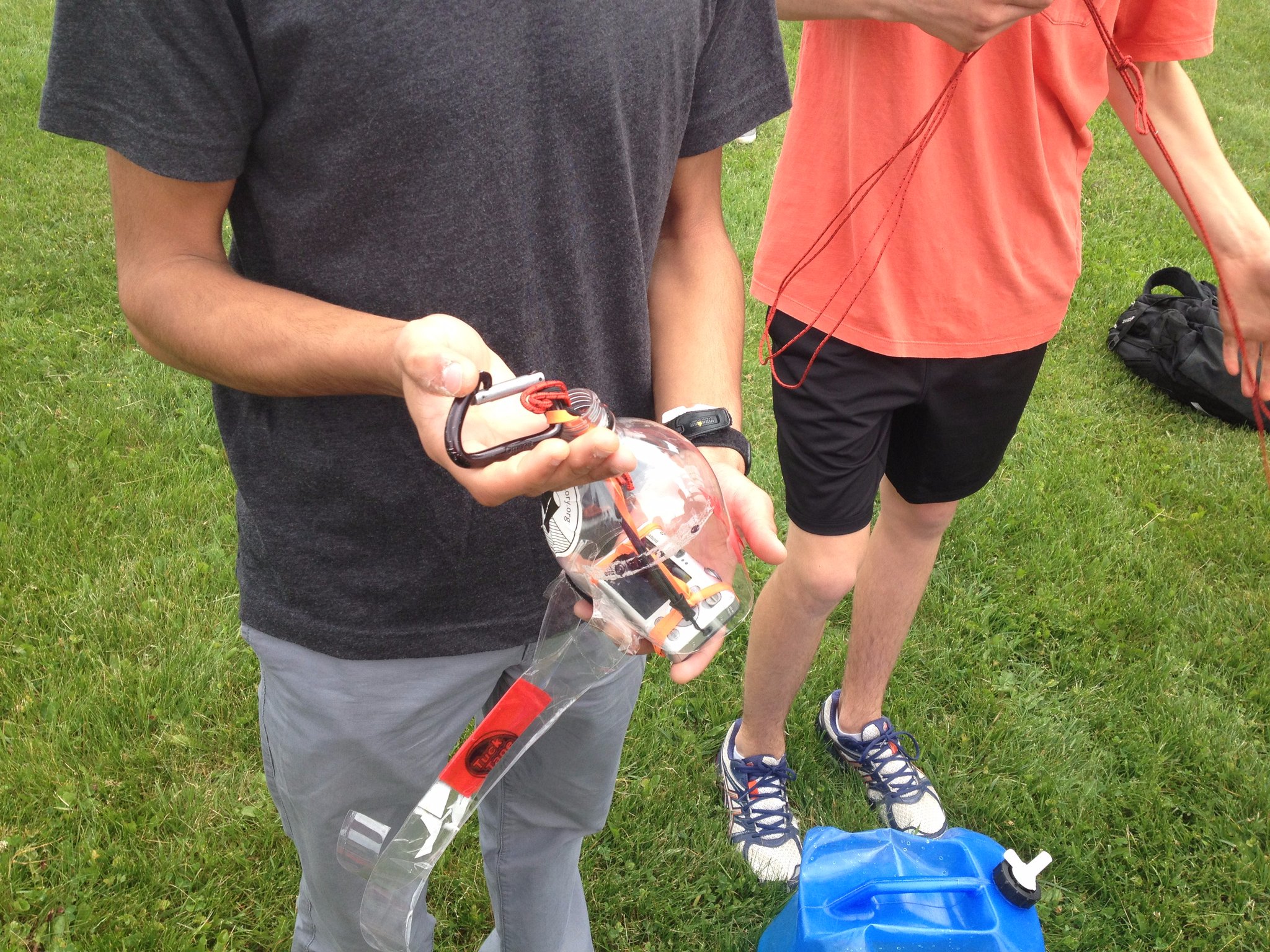
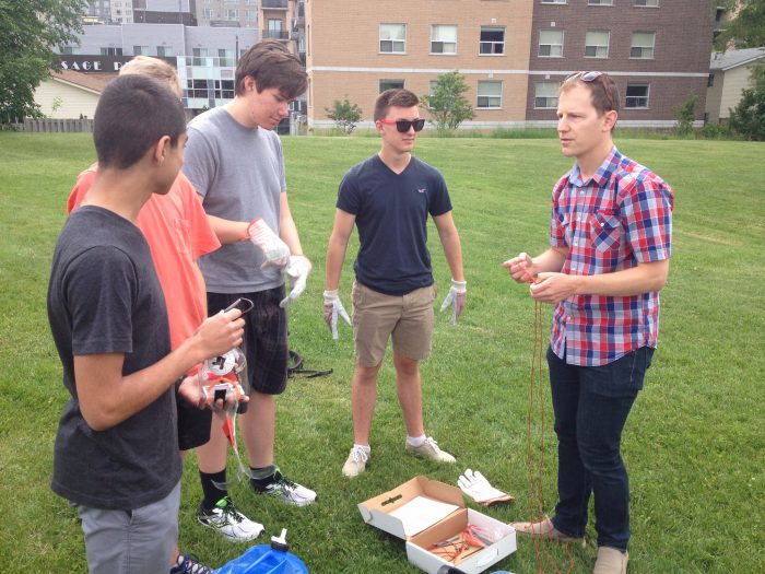
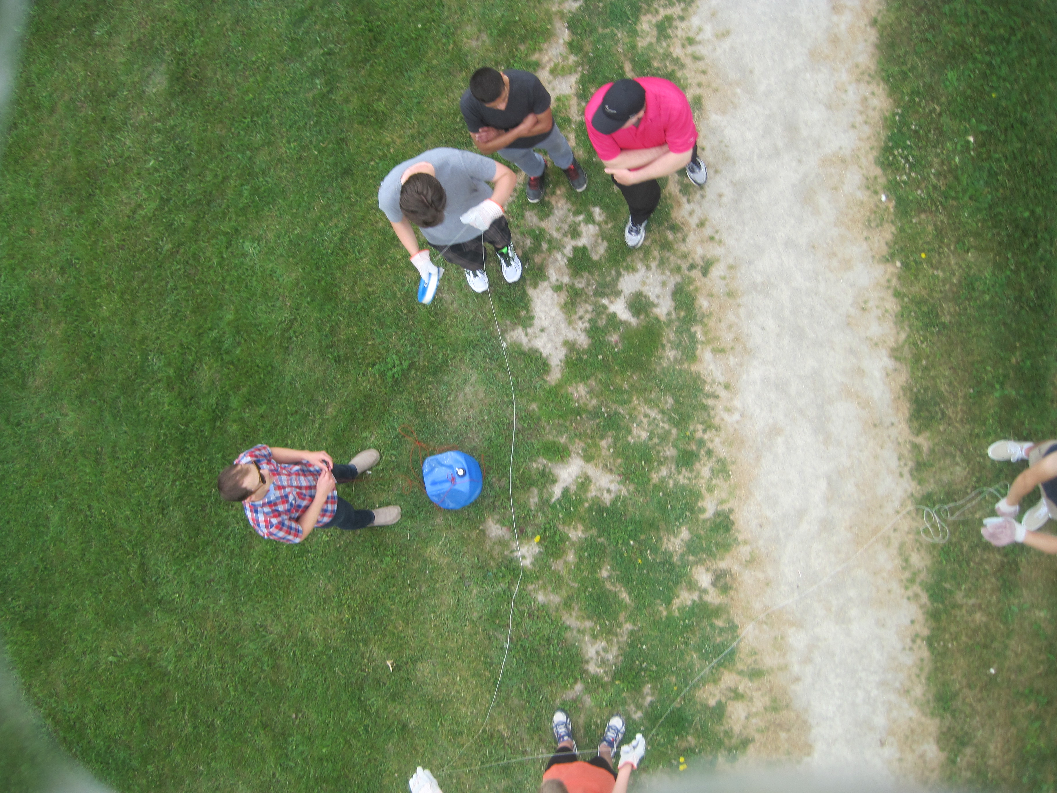
After an introduction session in the classroom, we took the balloon and camera out to the WCI field for a morning flight. Students handled the balloon while it took images of the playing fields and nearby developments along Columbia Street.

The balloon reached a max height of approximately 600 feet before the students hauled it back in.
In their afternoon class, students used the open source web platform MapKnitter, to stretch and align the various photos from the balloon to create a composite image.

This hands-on experience for students showed how easy it can be to collect and assemble your own amateur airphotos. Typically we think of this type of data collection as something that only professional geospatial companies or governments can do. However, with the right type of tools, this custom data collection and mapping is open to nearly anyone with an interest. Experiencing first-hand this type of data collection can show high school students just one of the many applications of geospatial technology, and the potential of a career in geospatial technology. Given the success of this first collaboration with the WCI Geotech Magnet Program, I’m looking forward to working together to expand this student experience in the future!