 Investigation of Grounding Line Dynamics and Thinning of Milne Glacier, Nunavut Using In-situ and Satellite Data
Posted 6 years ago
By Yulia Antropova
The line where glaciers transition from grounded to floating is particularly susceptible to changes caused by warming in the Arctic. Grounding line retreat is associated with ice thickness reduction and enhanced ice discharge. Milne Glacier, located on Ellesmere Island, Nunavut (Fig. 1), is a surge-type glacier [1]. Its bed is on a retrograde slope, therefore, […]
Read More
 Monitoring of seasonal changes in snow cover area in the Apex river watershed using ground camera and in situ observations.
Posted 7 years ago
By Yulia Antropova
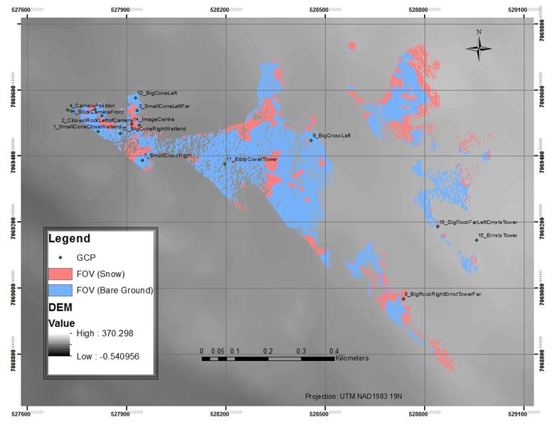
Monitoring of snow cover area in the Apex river watershed in Nunavut, Canada at different temporal and spatial scales is important to better understand and predict freshwater resource supply in that area. My previous post describes retrieval of changes in the snow-cover for a large area using MODIS 8-day composite snow cover products with a spatial resolution […]
Read More
 Python script to retrieve time-series changes in snow cover area from MODIS
Posted 7 years ago
By Yulia Antropova
As a part of Directed Studies in Geomatics course supervised by Dr. Murray Richardson at Carleton University I developed a tool that allows a user to easily produce time-series plots of snow-cover area and other relevant pieces of information (e.g. bare ground, cloud, and night cover) for any region (defined by an input shape file) […]
Read More
 Using ArcMap for different mapping techniques
Posted 7 years ago
By Yulia Antropova
Here I would like to discuss creation of maps in ArcMap using different mapping techniques. In particular I was able to easily create the following maps as a part of an assignment for GEOM3007 course: dot density map (shown in Figure 1), proportional symbol map (shown in Figure 2), and choropleth map (shown in Figure […]
Read More
 LAS datasets and terrain dataset in ArcMap
Posted 7 years ago
By Yulia Antropova
I took Geospatial analysis course in Fall 2016 term which guided us through different ArcMap tools useful for digital spatial data analysis. For my final project I choose to explore tools in ArcMap for processing data acquired by Lidar technologies. UAV-mounted Lidar technologies provide measurements of the distance between the UAV and the target which […]
Read More
 Hello to everyone!
Posted 8 years ago
By Yulia Antropova
Hello to everyone! My name is Yulia Antropova and I am a 4th year student at Carleton University, Ottawa, studying Geomatics. I obtained my first bachelor degree in Information Technologies in Business from Russia. When I arrived in Canada I decided to link my knowledge and skills in Information Technologies with a field of my […]
Read More
 Investigation of Grounding Line Dynamics and Thinning of Milne Glacier, Nunavut Using In-situ and Satellite Data


