 Education and Research, Esri Canada @ the Esri UC, 2018
Posted 7 years ago
By Michael Leahy in the Main Blog
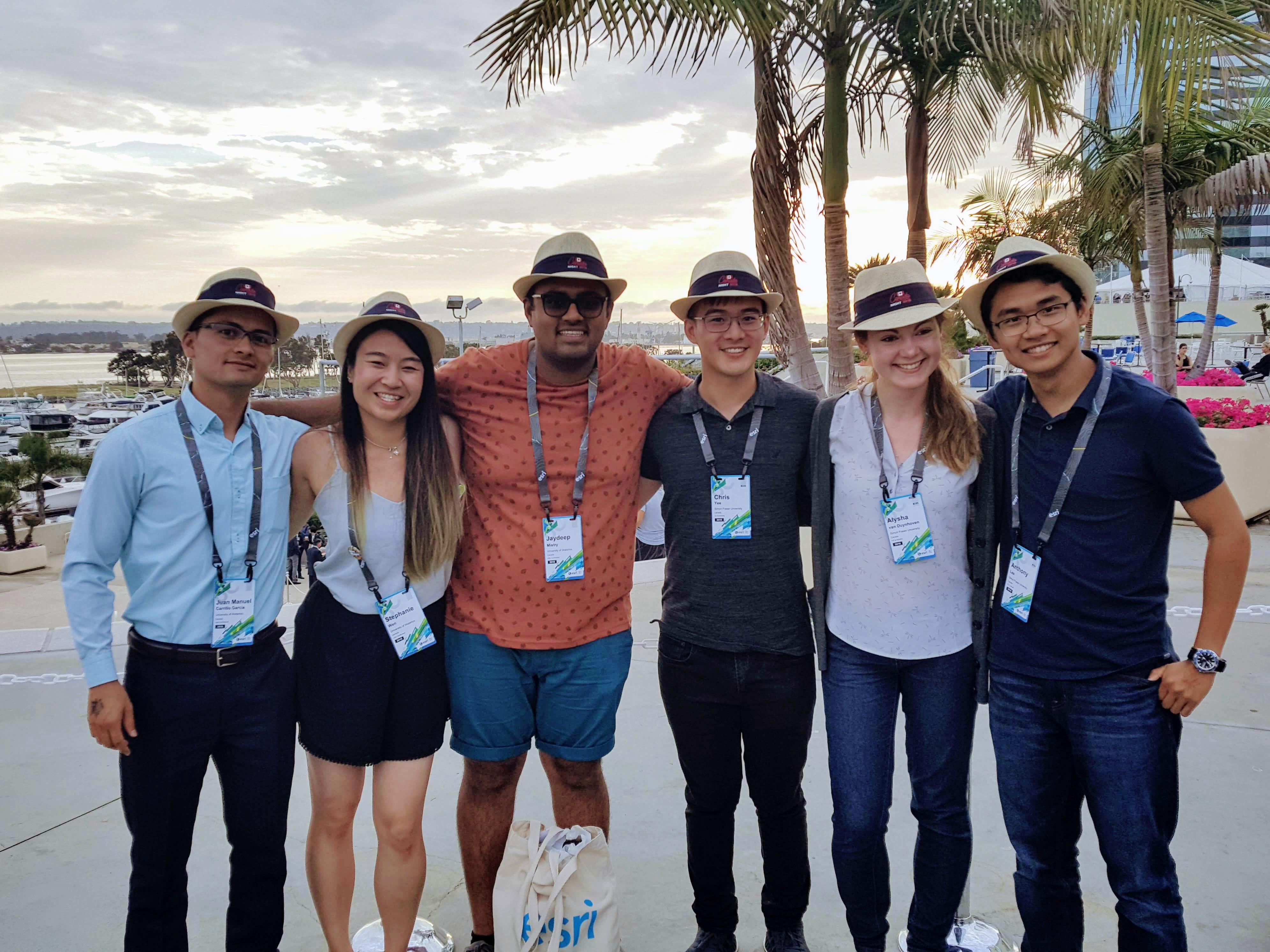
Just over a week ago, many of us from Esri Canada’s Education and Research group were present again at the world’s largest GIS conference in San Diego. The conference this year hosted over 17,900 attendees (including over 600 students), 198 paper sessions, 480 workshops, 237 demos, and 124 special interest groups (this year’s full stats […]
Read More
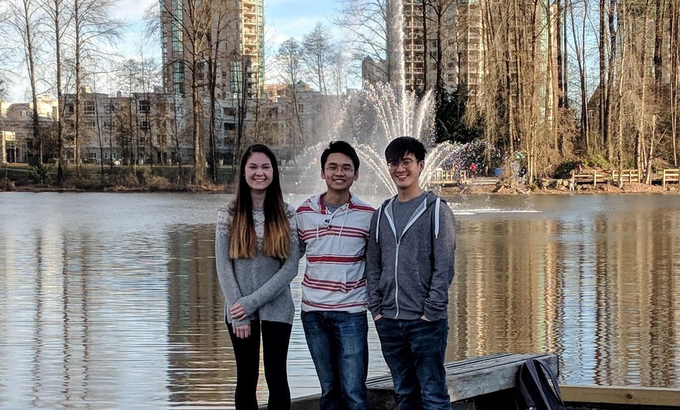
 mapit.space @ Esri User Conference 2018
Posted 7 years ago
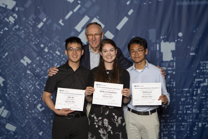
By Alysha van Duynhoven in the SFU Blog
This is another guest post from Alysha van Duynhoven, who appeared recently in our blog describing her team’s experience in the App Challenge at SFU. As winners of the challenge her team (including Chris Yee and ECCE associate Anthony Lee) won a trip to the Esri User Conference in San Diego earlier this month. The […]
Read More
 ECCE App Challenge 2018 – My Experience + Tips for Success
Posted 7 years ago
By Matthew Brown in the McMaster Blog
A few months have passed since the 2018 ECCE App Challenge was underway. Having now completed two App Challenges, I want to share my experience to tell you about what it’s like and also share some useful tips I learned along the way. For those who don’t know, the ECCE App Challenge is a week-long […]
Read More
 ECCE App Challenge 2018 – goElectric by mapit.space
Posted 7 years ago
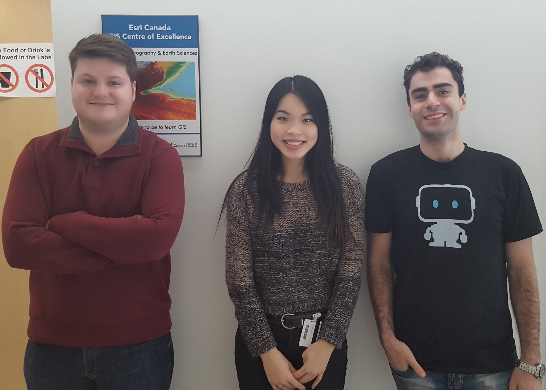
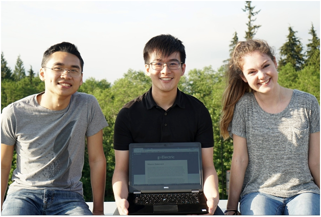
By Alysha van Duynhoven in the SFU Blog
This is a guest post from Alysha van Duynhoven, a member of this year’s winning App Challenge team mapit.space, giving us insight into their overall strategy and experience. You can see more detail about her team, including Anthony Lee and Chris Yee, along with a video demonstration and a live demo of their application from […]
Read More
 Spatial statistical analysis of African conflicts
Posted 7 years ago
By Ed Taylor in the McMaster Blog
Spatial statistical analysis of African conflicts What trends can we uncover given the traits of actors, such as nations, and information on a phenomenon of interest, such as violent conflict? What methods can be used to establish relationships between a study phenomenon and variables that can potentially be used to explain such trends? Are the […]
Read More
 ECCE App Challenge – DayCare Finder
Posted 7 years ago
By Rajveer Ubhi in the McMaster Blog
The ECCE App Challenge is a coding competition held by Esri Canada to help promote innovation and creativity within the Centres of Excellence. Apps powered by GIS technology and open data are created to help address a problem related to a specific theme which changes every year. Being my first year participating in the challenge, […]
Read More
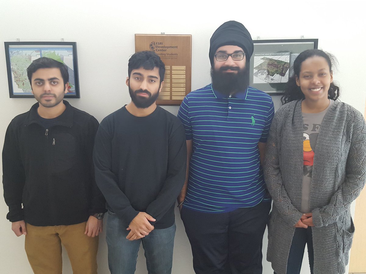
 Meet the winners of the ECCE App Challenge 2018
Posted 7 years ago
By Michael Leahy in the SFU Blog
The ECCE App Challenge for 2018 has been another great success. This year, we had a total of 21 teams participate from ECCE schools across Canada (a new record for the annual competition). The teams participating in the challenge this year were all asked to create apps that addressed any problem of their choosing using […]
Read More
ECCE App Challenge 2018 – Helping Hands Toronto
Posted 7 years ago
By Sean Leipe in the McMaster Blog
The Esri Canada App Challenge is a week-long hackathon-type coding competition with the goal of creating a web application to solve problems based on a specific theme, built on Esri technology and using open data. It involves creating an operational app, submitting its source code, creating supporting documentation, and a video sales pitch. This was […]
Read More
 ECCE App Challenge 2018 – Marauders mApp
Posted 7 years ago
By Michele Tsang in the McMaster Blog
This year I participated in the ECCE App Challenge with my group members, Tasos Dardas and Matt Brown. The assigned topic of the app was anything of our choice, so we decided to focus on decentralized, renewable energy. Our app, Energy Revolution, demonstrates the feasibility of decentralized energy systems (DESs) by creating matrices showing the […]
Read More
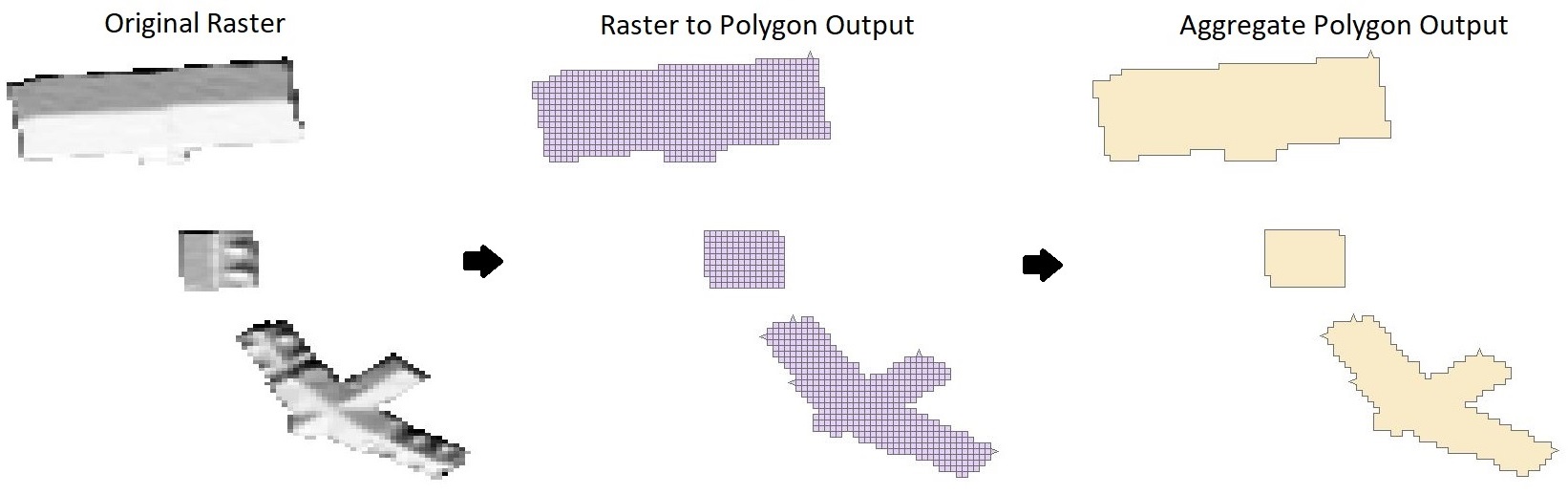
 3D and Virtual Reality
Posted 7 years ago
By Colin Werle in the COGS Blog
One of my favourite parts of GIS is when you get to display your work in a way that gets more engagement from the reader/audience. I find the most interesting way of displaying data is with a three dimensional aspect, based on the fact that you can look at the data from different perspectives and […]
Read More

