 Old ideas with new potential – GIS as a tool for game content development
Posted 6 years ago
By Nicole Peters in the COGS Blog
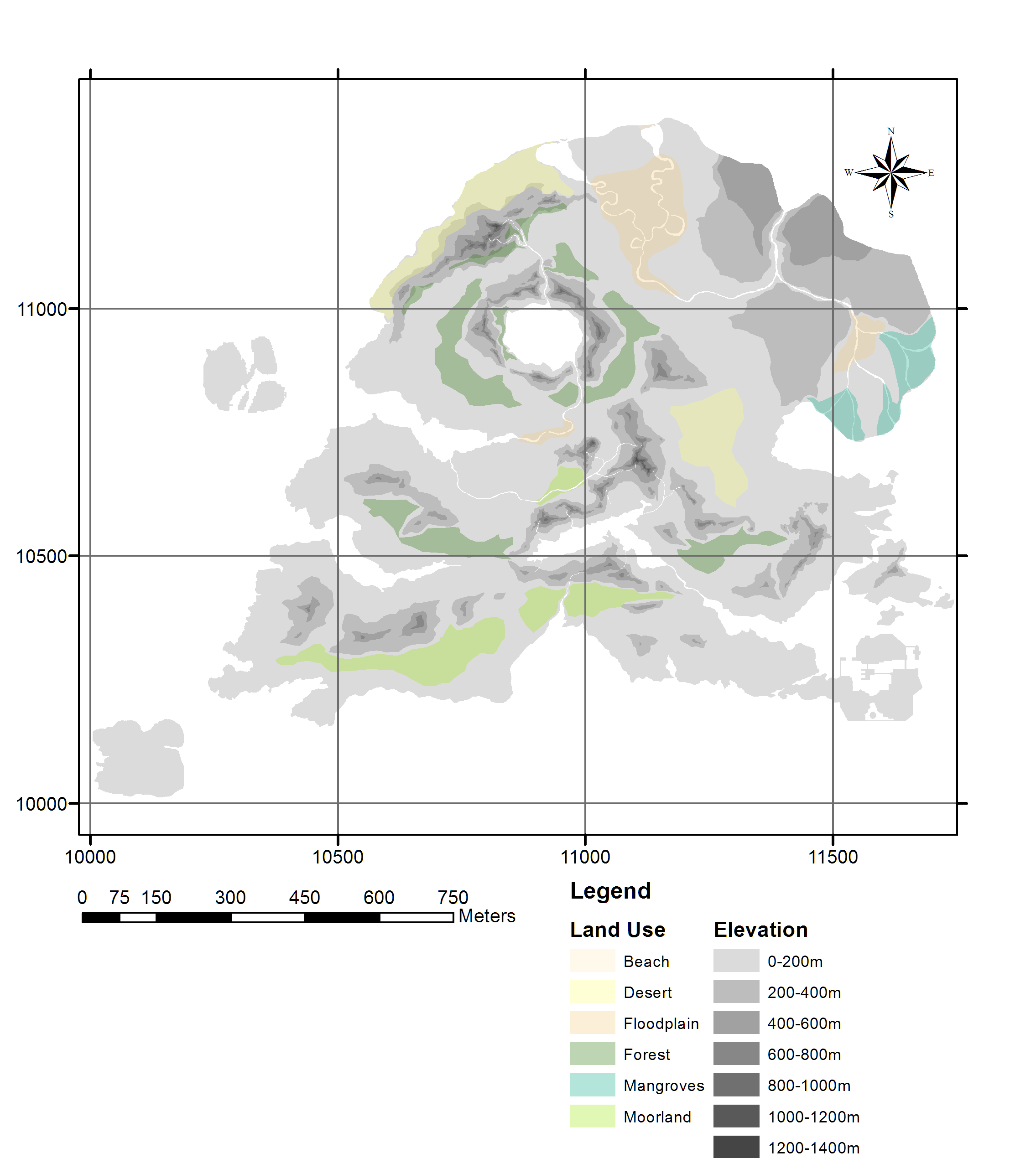
I feel like the New Year is a good time to both reflect on the past and consider the future. I’m sure I’m not the only one who has dusty old GIS projects and ideas that we never had – or made – the time to work on in ages, whether it be an idea […]
Read More
 Investigation of Grounding Line Dynamics and Thinning of Milne Glacier, Nunavut Using In-situ and Satellite Data
Posted 6 years ago
By Yulia Antropova in the Carleton Blog
The line where glaciers transition from grounded to floating is particularly susceptible to changes caused by warming in the Arctic. Grounding line retreat is associated with ice thickness reduction and enhanced ice discharge. Milne Glacier, located on Ellesmere Island, Nunavut (Fig. 1), is a surge-type glacier [1]. Its bed is on a retrograde slope, therefore, […]
Read More
 My Experience at the Esri User Conference in Toronto
Posted 6 years ago
By Manpreet Chahal in the UW Blog
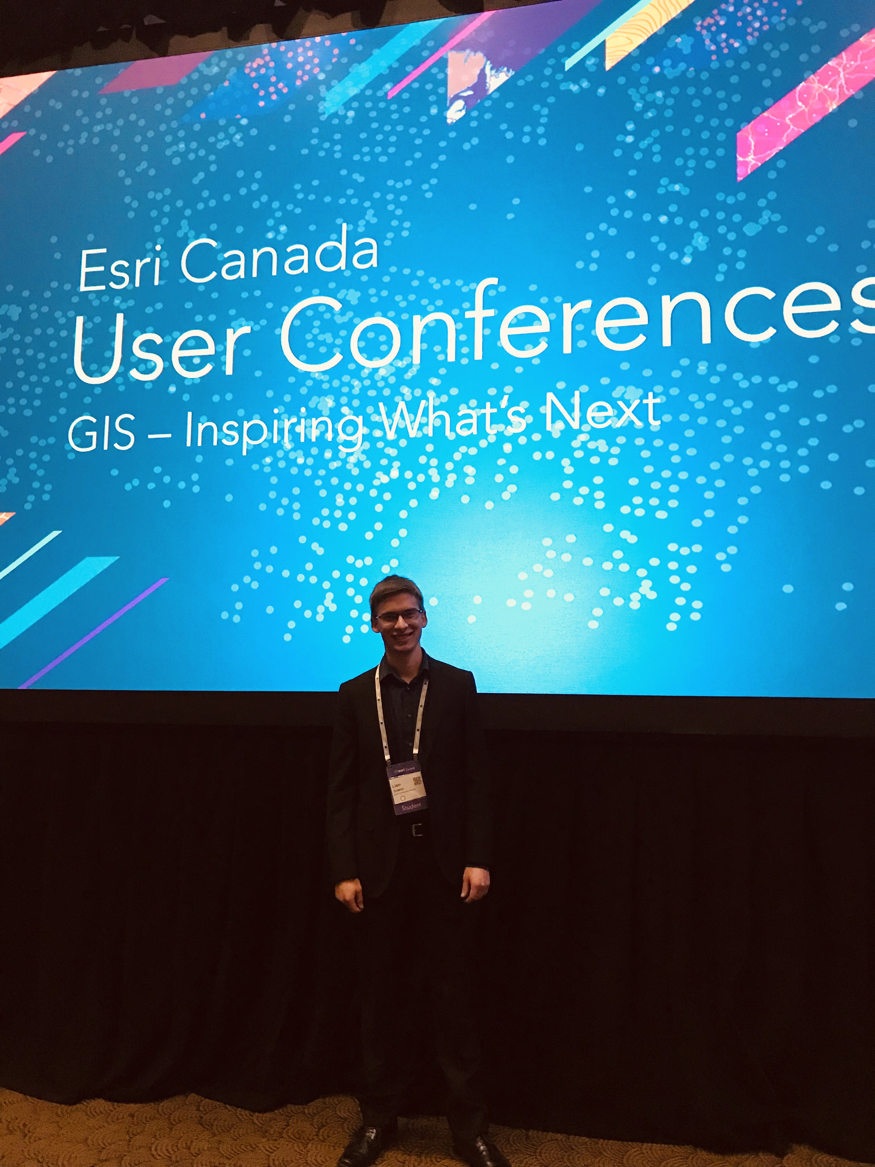
Hi everyone! It is Manpreet from UW again and this time, I would like to discuss what I was able to take away from the Esri Canada User Conference that was held in Toronto, Ontario on October 10 and 11 in 2018. I was able to only attend on the first day of the conference […]
Read More
 COGS First Semester Overview for Non-Geomatics Grads
Posted 6 years ago
By Liam Gowan in the COGS Blog
If you had asked me in January 2018, when I was just entering my final semester of a computer science degree and never hearing of GIS, if I thought I’d ever be putting my CS knowledge to anything involving geography, I probably would have said “Why? Google Maps and GPS’s already exist, there’s nothing else […]
Read More
 Learning via Conducting a Lecture and Workshop on Story Maps
Posted 6 years ago
By Manpreet Chahal in the UW Blog
Hi everyone! Once again, it is Manpreet from UW. This time, I would like to discuss my experience of giving a lecture on Esri story maps and conducting a workshop with undergraduate students in one of my graduate courses this term. This was the first time I was giving a full lecture to undergraduate students, […]
Read More
 COG(S)itation on the Esri Canada Fredericton User Conference 2018
Posted 6 years ago
By Liam Gowan in the COGS Blog
Greetings everyone, My name is Liam Gowan and I am enrolled in the Advanced Diploma in Geographic Sciences (and will be enrolling in the GIS concentration) at the Centre of Geographic Sciences, NSCC. I am one of the six ECCE Student Associates from COGS, and I am writing to reflect on my experience of the […]
Read More
 Safer Cycling
Posted 6 years ago
By Alex Oestreicher in the Carleton Blog
Hello all, my name is Alex Oestreicher, and I’ve spent the last 4 months working at Ottawa city hall as a GIS Assistant, as part of the Carleton University Department of Geography and Environmental Studies practicum program. The practicum program is a program for 4th year honours students that provides them with a professional (albeit […]
Read More
 About Me
Posted 6 years ago
By Manpreet Chahal in the UW Blog
Hi everyone! My name is Manpreet Singh Chahal, and I am a first-year master’s student at the University of Waterloo. I am doing a Master of Science in the Geography and Environmental Management program specializing in Geomatics. I am working with Dr. Robert Feick and currently, my research entails using Public Participation Geographic Information Systems […]
Read More
 A Glance at Enterprise Geodatabases and Publishing Content
Posted 6 years ago
By Anastassios Dardas in the McMaster Blog
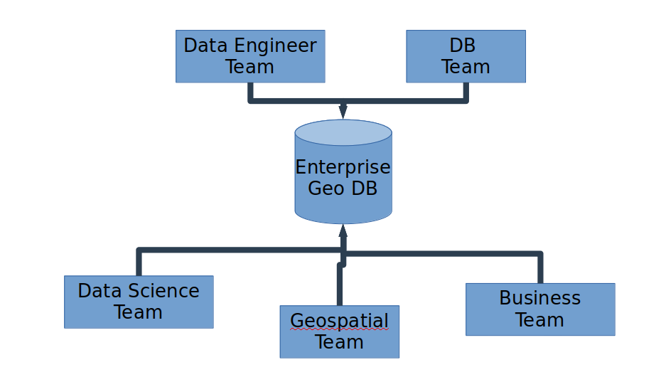
Introduction All of us in the field of GIS already know what a geodatabase is. Most of us know how to properly create one, especially for single-use or for our own personal projects. Depending on the GIS project, most of the time academic institutions just need personal or file geodatabases. For industry and government, it […]
Read More
 City Planning, ArcGIS, and beyond!
Posted 6 years ago
By Leah Fulton in the Dalhousie Blog
Hi Everyone, My name is Leah Fulton, and I’m a third-year undergraduate planning student studying Community Design at Dalhousie University, in Halifax, NS. I am hoping to get into the honours program for my fourth year to graduate with a Bachelor of Community Design, Honours in Urban Studies with a Minor in Geography and a […]
Read More
 Old ideas with new potential – GIS as a tool for game content development


