 Citizen Science and Survey123
Posted 5 years ago
By Zachary Lamoureux in the UCalgary Blog
Last year, I had the privilege of attending the Spatial Knowledge and Information (SKI) conference in Banff with my research team (Figure 1). It was my first time presenting at an academic conference, and overall a splendid experience. We went cross-country skiing and sight-seeing in the mornings and listened to some interesting presentations founded in […]
Read More
 GIS Summary of SNAP 2019 (Part 4): Multi-Criteria Data Analysis
Posted 5 years ago
By Todd Wong in the McMaster Blog
This is the last article in the 4-part series summarizing work completed by Todd Wong for the Stelida Naxos Archaeological Project (SNAP). For more background and steps leading up to the analysis presented in this article, refer to Part 1, Part 2, and Part 3. Introduction Multicriteria Data Analysis (MCDA) is a collection of formal […]
Read More
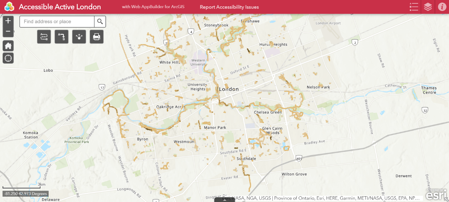 The Completion of the ECCE App Challenge 2020
Posted 5 years ago
By Victoria Barlow in the Western Blog
This was my second year completing the ECCE App Challenge. This year was exciting as I was able to build off of what I had learned about the challenge last year and it was my first time being a team leader. The challenge went differently than expected as it had to be completed through virtual […]
Read More
 Presenting at the Esri GIS in Education and Research Conference
Posted 5 years ago
By Jack McIlraith in the Western Blog
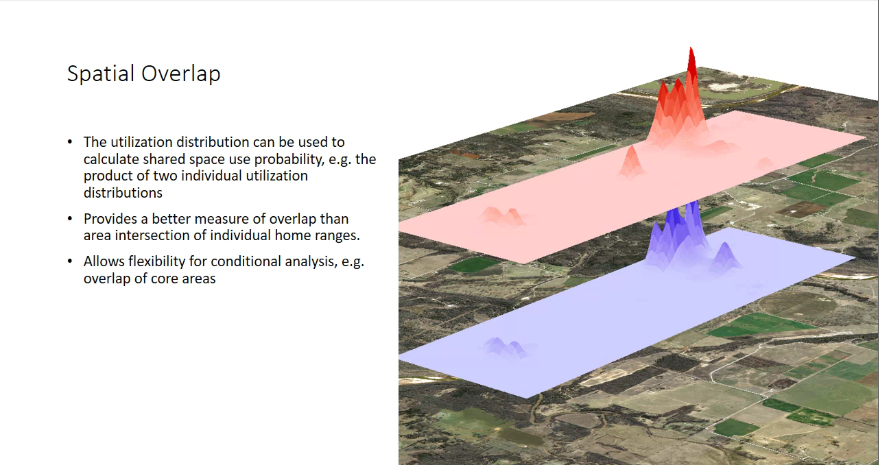
So far, my masters program has consisted of me learning to do a lot of things I haven’t done before. One of the latest firsts was the chance to present some of my masters research at the Esri Canada GIS in Education and Research Conference at the University of Toronto. While I was preparing, I […]
Read More
 Participating in the ECCE App Challenge 2020
Posted 5 years ago
By Jack McIlraith in the Western Blog
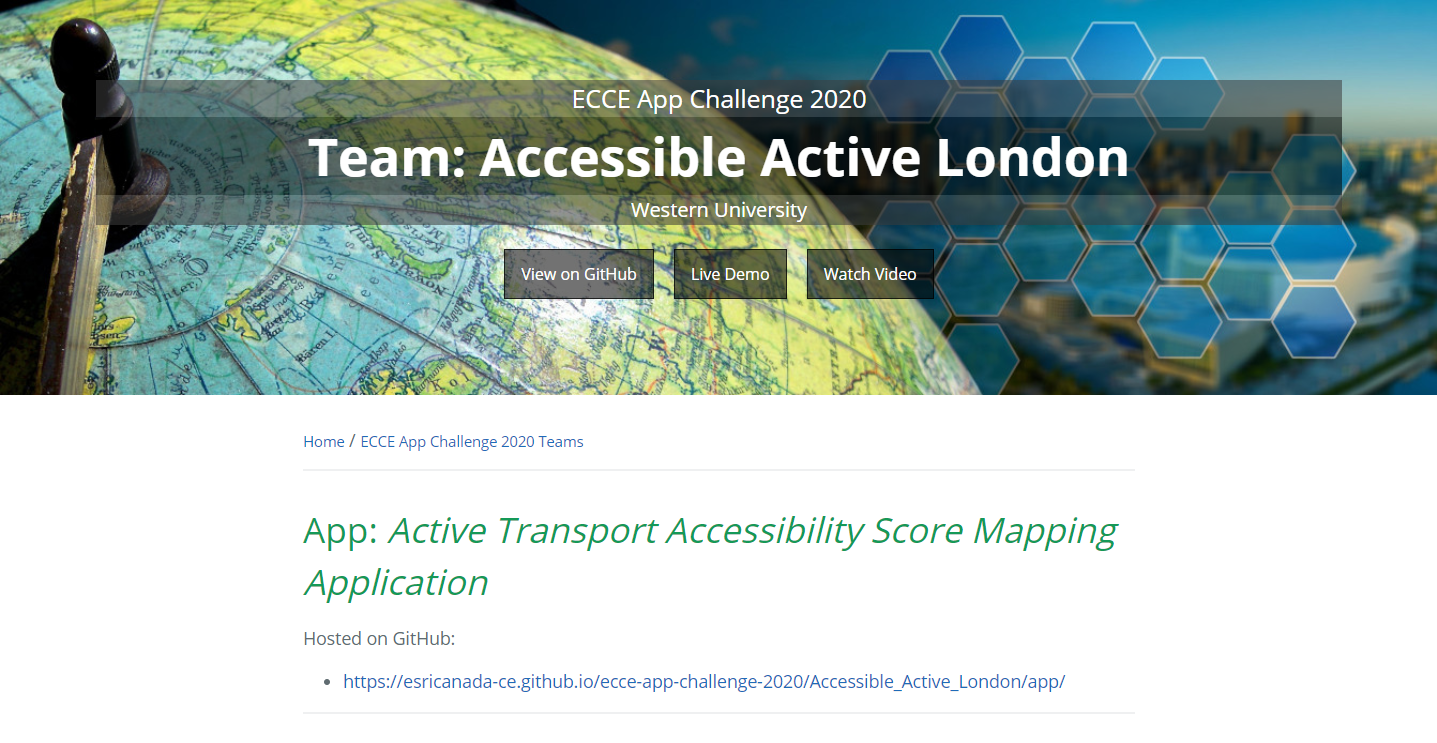
This March I participated in the ECCE App Challenge as part of the team from Western University. I had the chance to join the team led by Western Geography People’s Society co-president Victoria Barlow (shout out to Victoria for taking the lead). This year’s app challenge theme was heath – our app focused on accessibility […]
Read More
 Creating the UPHILL Application in the ECCE App Challenge 2020
Posted 5 years ago
By Manpreet Chahal in the UW Blog
Hi all, During these uncertain times of COVID-19, GIS users all over the world have created dashboards using Esri technology to have real-time feeds of current spread of the virus. Before this pandemic started, I had the opportunity to participate in the ECCE App Challenge during Reading Week in mid-February at the University of Waterloo. […]
Read More
 2018 App Challenge – Lessons Learned
Posted 5 years ago
By Kendra Munn in the SFU Blog
The increasing disruptions to daily routines, loss of conveniences, and general disarray caused by the current pandemic led myself and my would-be team to make the difficult decision to withdraw from this year’s App Challenge. It’s unfortunate, as we already had a few good ideas brewing, though when we thought realistically on the situation, we […]
Read More
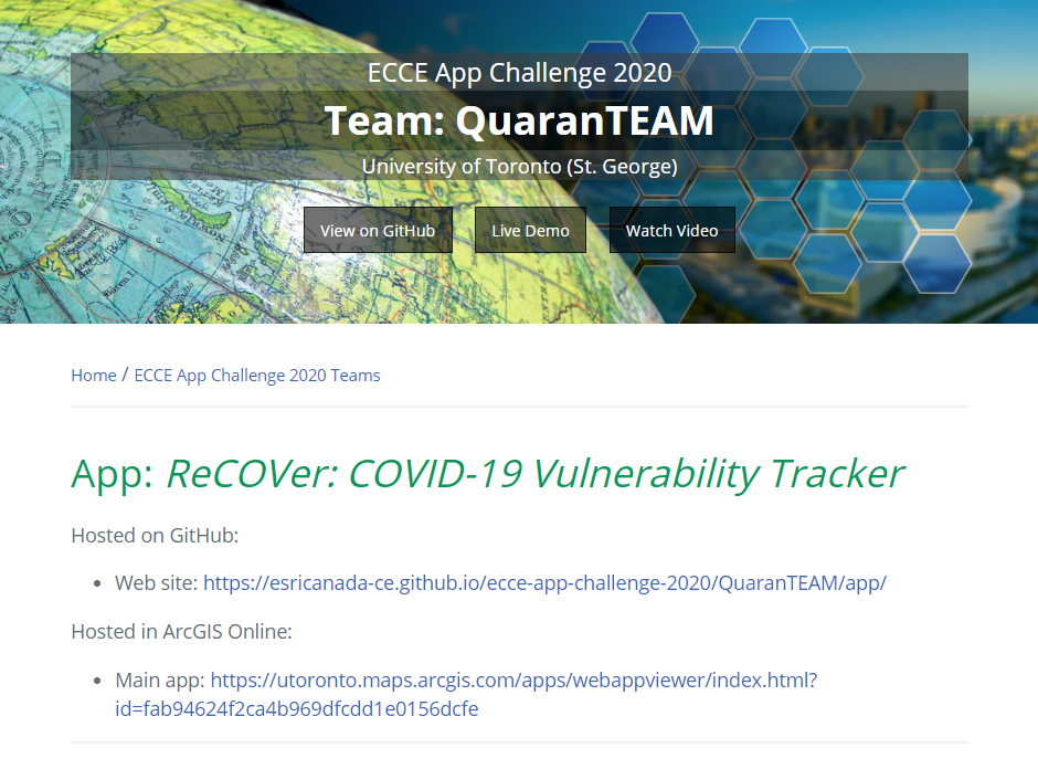 Winners of the ECCE App Challenge 2020
Posted 5 years ago
By Michael Leahy in the Main Blog
The ECCE App Challenge 2020 results are in! It has been nearly three months since the App Challenge started in mid-February. Two weeks ago, we introduced the 17 teams that completed the App Challenge this year, all creating apps to address different aspect of the main theme: Health. Judging of all of the teams’ projects […]
Read More
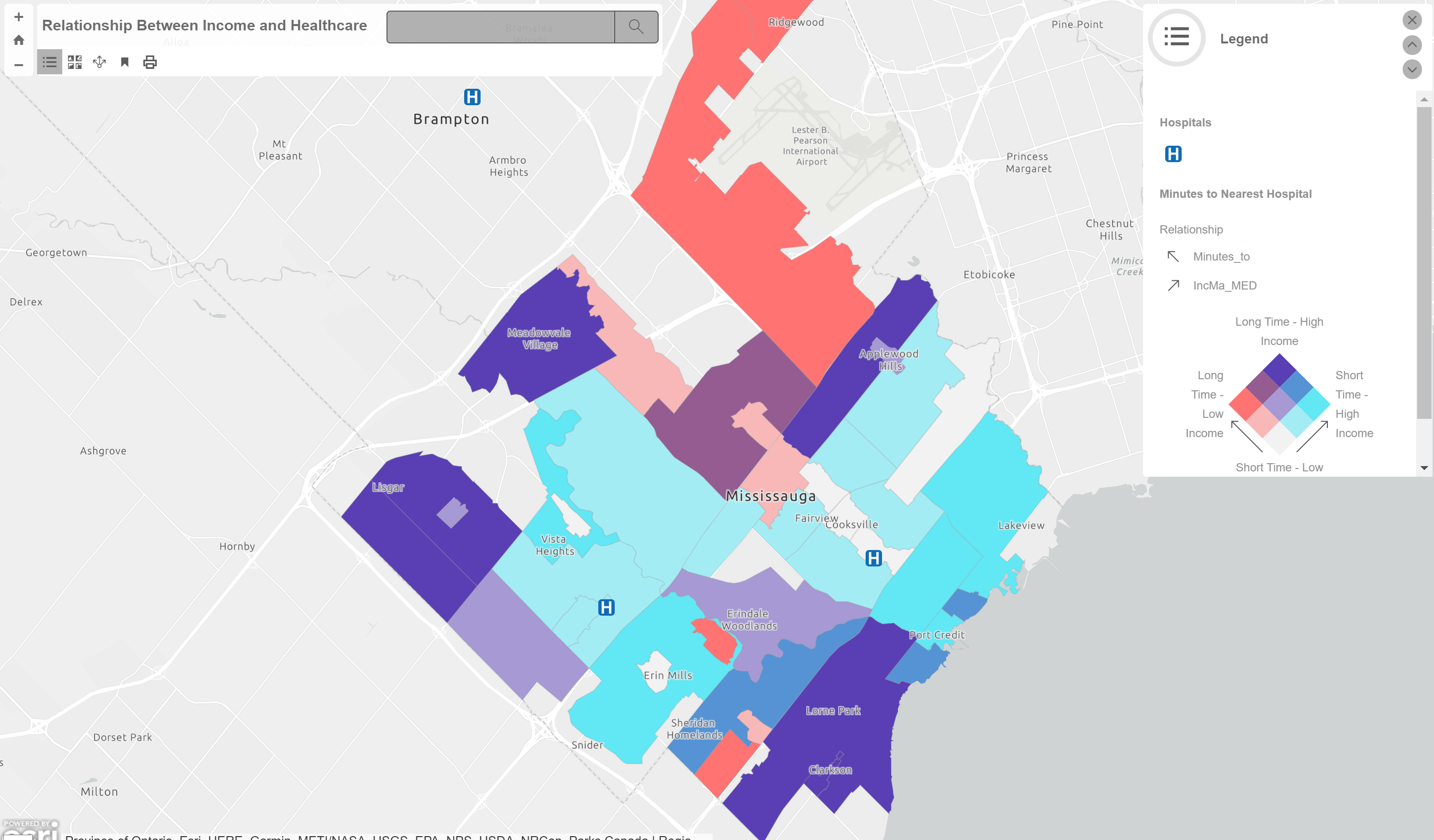 Going from ArcMap to ArcGIS Online
Posted 5 years ago
By Nicole Moguilevskaia in the UofT Blog
Hi everyone! My name is Nicole Moguilevskaia and I go to the University of Toronto. I am studying GIS and computer science in my undergrad. For the past year, I have been using ArcMap in all of my courses – from map design to data science. It has become a software I trust for data […]
Read More
 Keep Motivated with GIS Remote Learning
Posted 5 years ago
By Leah Fulton in the Dalhousie Blog
As many schools across Canada have cancelled in-person classes due to COVID 19 and summer courses have quickly changed their teaching methods to online, it may be challenging to keep motivated. While many of us are stuck inside due to social isolation, these times may be an opportunity to learn a new GIS-related skill. Fortunately, […]
Read More
 Citizen Science and Survey123


