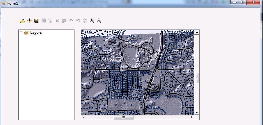
 Developing a pipeline monitoring system using ArcGIS Engine
Posted 5 years ago
By Changlin Yang in the UCalgary Blog
Hi everyone, In this post, I want to share part of my project experience for developing a pipeline monitoring system using ArcGIS Engine. This project is required by a pipeline management company that monitors for gas leaks from pipelines in the oil and gas industry. As part of the project requirements, the pipeline network should […]
Read More
 Doctoral Research: Mapping Erosion and Deposition in an Agricultural Landscape
Posted 5 years ago
By Benjamin Meinen in the UW Blog
I would like to share with everybody a small excerpt from my doctoral research that will be presented at the 4th Biannual Conference on GIS in Education and Research at the University of Toronto on March 4th and 5th, 2020 entitled “Mapping Erosion and Deposition in an Agricultural Landscape with UAV SfM-MVS”. The presentation builds […]
Read More
 Quantitatively and Objectively Defining “Purposeful” Spaces
Posted 5 years ago
By Malcolm Little in the Western Blog
My, how time flies when embedded deep within the academic sphere of influence. One such as myself, pursuing the status – and the skills needed to attain that status – is constantly bombarded with fruitful distractions. But at heart, I am a passionate GIS lad, one who indulges in GIS software courses to an almost […]
Read More
 The move to ArcGIS Pro at Dalhousie University
Posted 5 years ago
By Beau Ahrens in the Dalhousie Blog
During my time as a PhD student at Dalhousie University in Nova Scotia, I have been fortunate to operate in several roles with a connection to GIS and the ArcGIS platform. In addition to teaching GIS-centric courses (both as an instructor and teaching assistant), I have also had the opportunity to work with the Nova […]
Read More
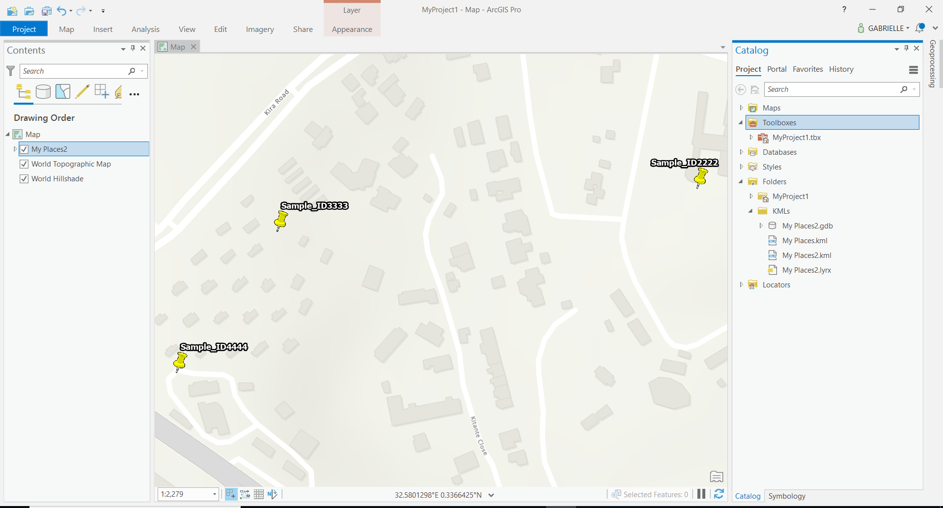 From Google Maps to Shapefile
Posted 5 years ago
By Gabrielle Bruser in the Western Blog
Hello, Since I struggled to go from a google maps location to a shapefile, I thought it could be useful to write out the steps that I took in case anyone else goes through the same struggle. Undoubtedly I did this as an exercise in and undergrad GIS course, but it’s a whole other can […]
Read More
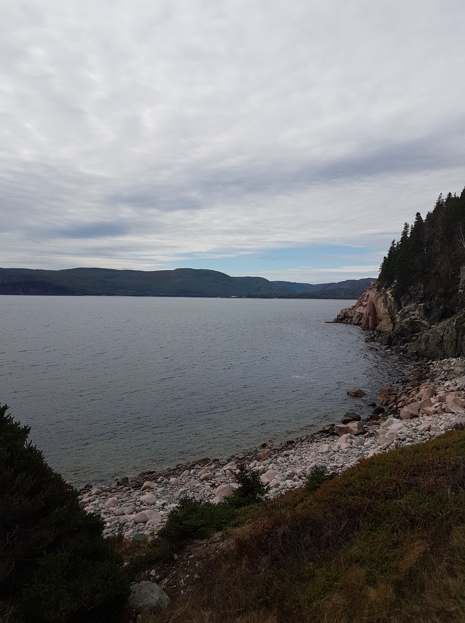
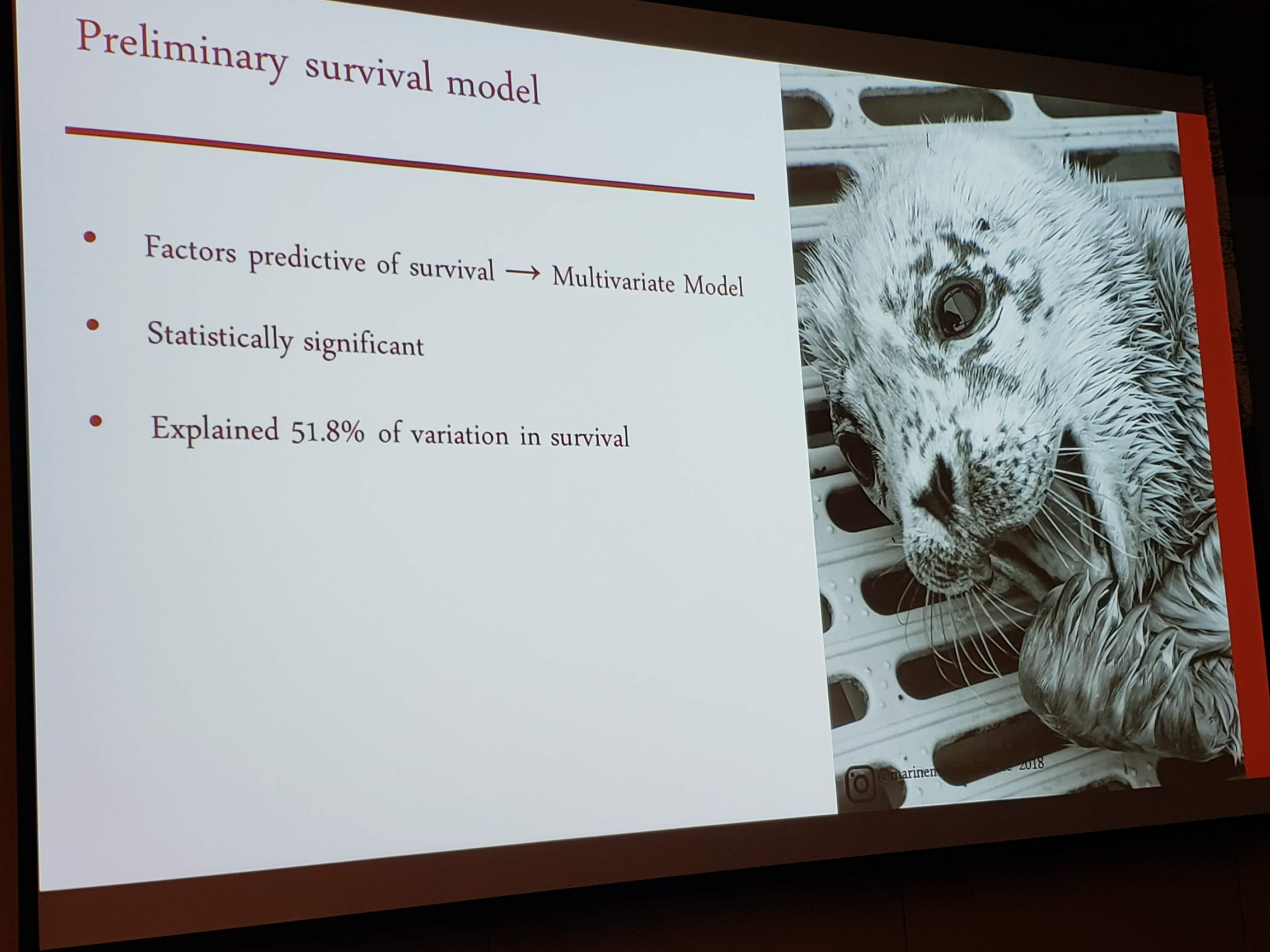 British Columbia Marine Mammal Symposium
Posted 5 years ago
By Andrea Nesdoly in the UVic Blog
As a geomatics student at the University of Victoria, I fell into my current position on the Whale Watching AIS Vessel Movement Evaluation (WAVE) Project knowing very little about marine mammals, marine vessel, and marine environments. Yet, I find myself in working on a thesis that pulls from these topics extensively. One downfall of having […]
Read More
 Presenting at the User Conference in Halifax
Posted 5 years ago
By Lily Barraclough in the Dalhousie Blog
In early November I attended my first Esri Canada User Conference in Halifax and had the opportunity to present my honours research along with other researchers in the higher education and research stream. It was exciting to be presenting along with students from across the Maritimes and sharing our new research developments using GIS! It […]
Read More
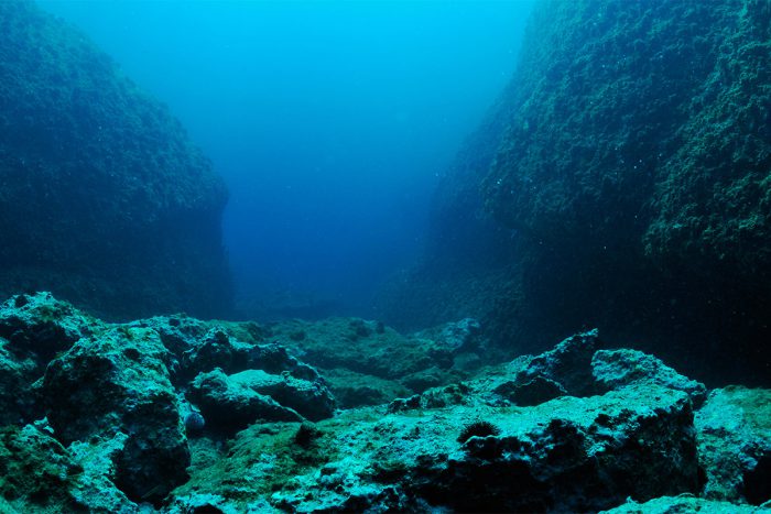 Discovering The Usage of ArcMap for Nautical Chart Data
Posted 5 years ago
By Alex Scott in the UNB Blog
So far with my time studying Geomatics at the University of New Brunswick I’ve seen just how versatile ArcGIS can be. During the winter term I was taking an ocean mapping course that broke down the fundamentals of positioning and recording regions of the seafloor. One topic of interest that was assigned to us was […]
Read More
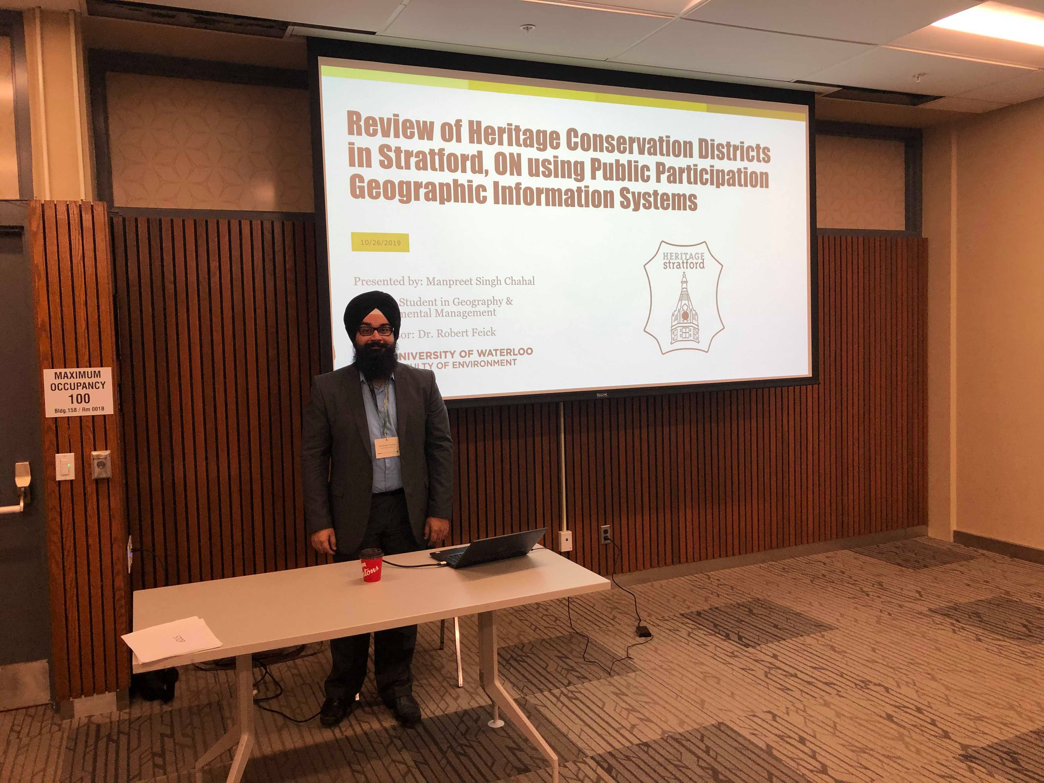 Presenting at CAGOnt and GIS Day for the first time in 2019
Posted 5 years ago
By Manpreet Chahal in the UW Blog
Hello everyone! This is Manpreet from UW and I would like to discuss two experiences I have had in fall 2019 presenting in conference settings for the first time. The first one was CAGOnt 2019, which is known as the Canadian Association of Geographers – Ontario Division. This is an academic conference for Geography grad […]
Read More
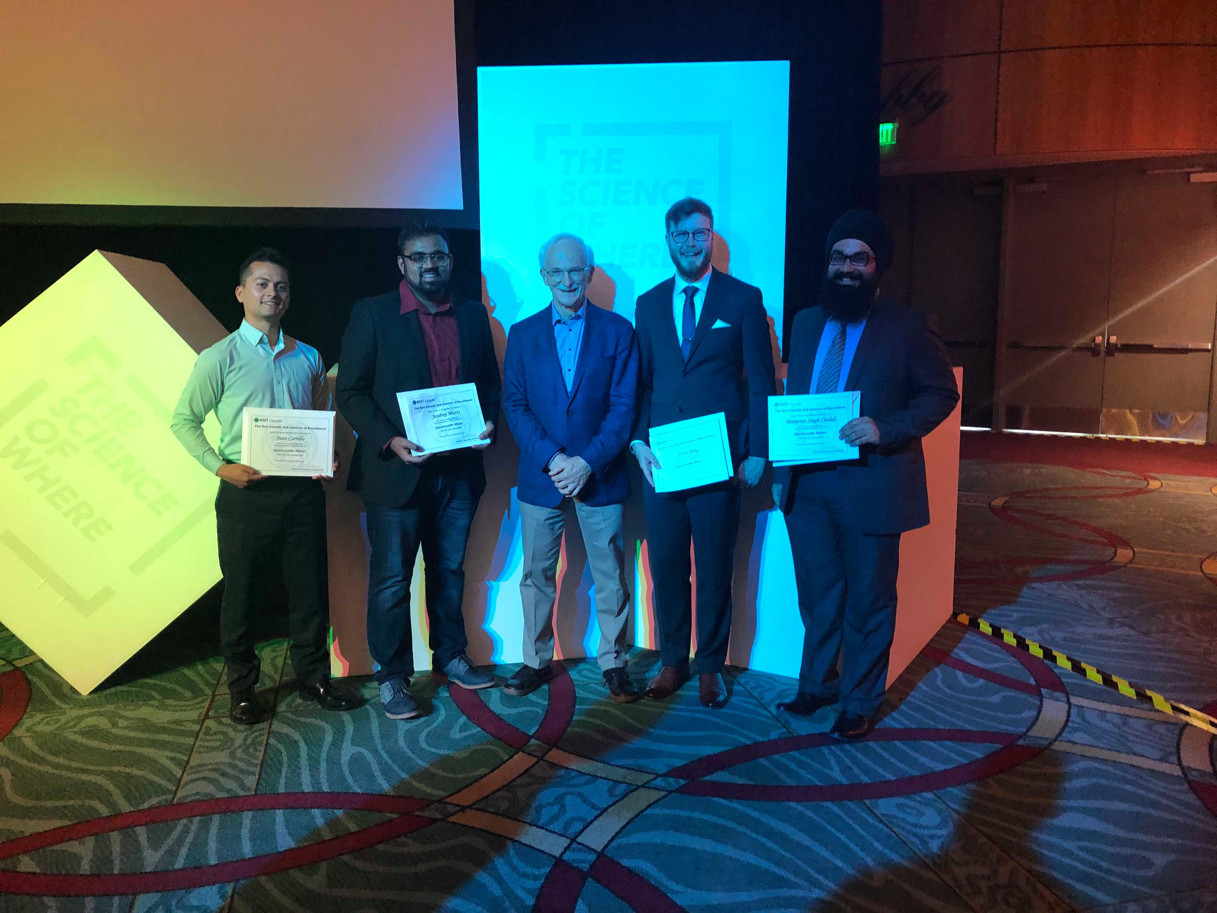 My Experiences at Esri User Conferences in 2019
Posted 5 years ago
By Manpreet Chahal in the UW Blog
Hi all! This is Manpreet from UW! This past year I had the great opportunity to have been able to attend the Esri International User Conference in San Diego from July 8-12. I received this opportunity along with some fellow grad students at UW from winning the annual ECCE App Challenge held in 2019. We […]
Read More

