
Presenting at CAGOnt and GIS Day for the first time in 2019
Hello everyone!
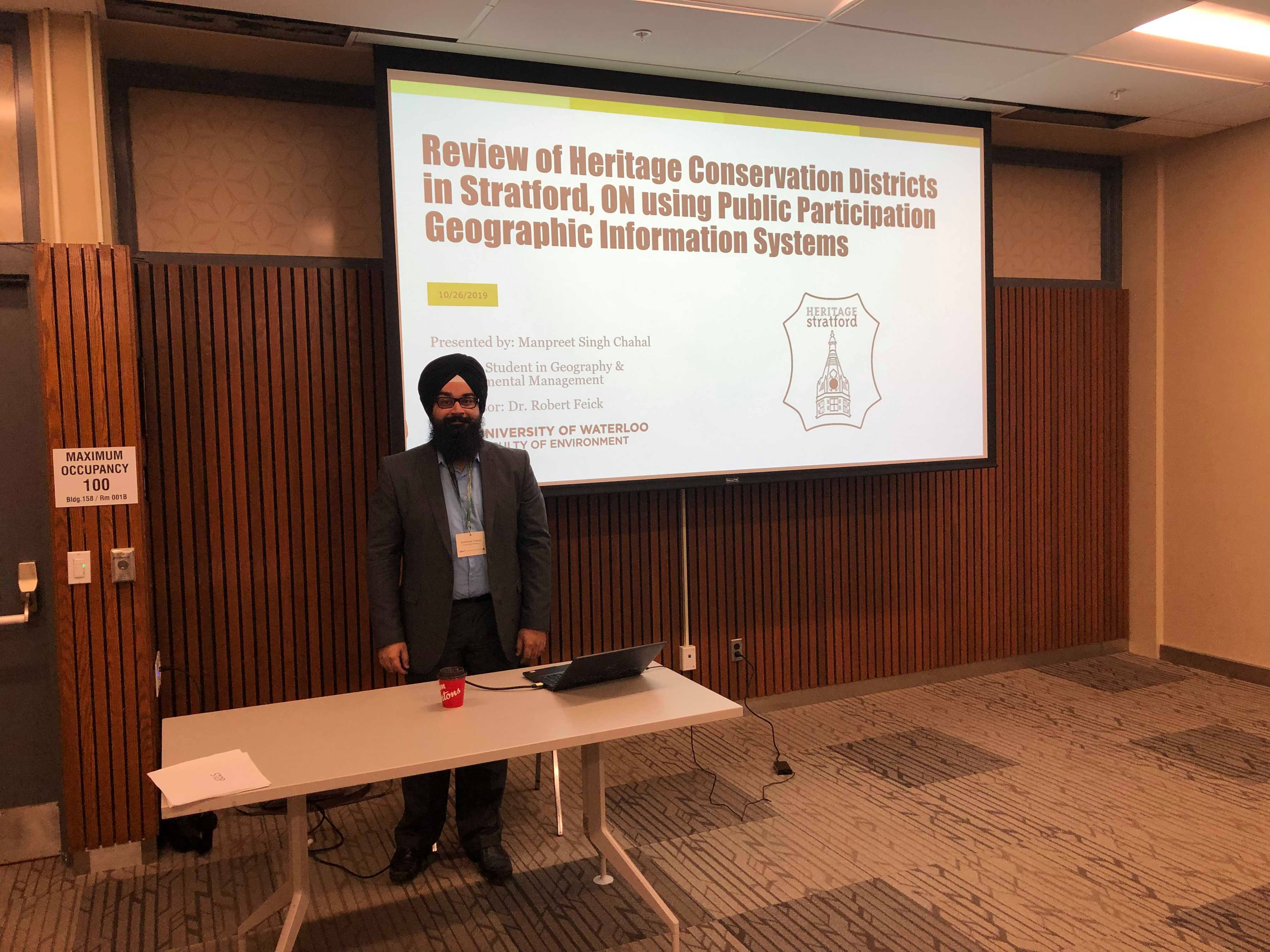
This is Manpreet from UW and I would like to discuss two experiences I have had in fall 2019 presenting in conference settings for the first time. The first one was CAGOnt 2019, which is known as the Canadian Association of Geographers – Ontario Division. This is an academic conference for Geography grad students and researchers that is held annually in October at a different university in Ontario each year. This past October, I got the opportunity to present my research at this conference. My presentation for this conference was titled, “Review of Heritage Conservation Districts in Stratford, ON using Public Participation Geographic Information Systems.”
My research entails looking at heritage planning. Cultural heritage is important to preserve, and is protected by the Ontario Heritage Act that was enacted in 1975. This Act is integral to land use planning as it is meant to establish community identity, sense of place, and economic prosperity. There is a need to identify and designate specific heritage properties in cities as well as Heritage Conservation Districts (HCDs) which are larger areas made up of a collection of heritage properties. The study area for my research is Stratford, ON. Stratford established a municipal by-law in 1997 which expands upon the Ontario Heritage Act and gives the municipality the right to preserve cultural heritage elements whenever development occurs. The issues are that it is difficult for citizens to access more information on cultural heritage in their cities and it is difficult for citizens to provide feedback. Citizens have to go through multiple avenues to access information by going to the municipal planning department in the city or going through previous archives of information. When providing feedback, citizens have to go to a town hall or public meeting, where only a limited number of residents can attend. Hence, there is a need to capture specific input on single heritage sites and focus on sense of place with the designation of the larger HCD.
The research question I have currently established is: how can web-based PPGIS help heritage planners identify properties valued by community members and delineate HCDs in Stratford, ON? I have established three objectives for this research. First objective is to design and build a web/mobile app to provide citizens in Stratford with the ability to provide feedback on the various heritage properties and HCDs throughout the city. Second objective is to gather the collected data and analyze it to determine the sense of place citizens have with HCDs in the city. Third objective is to provide recommendations to the city on data collection methods (both remote and in-place data collection) using web (remote) and mobile (in-place) versions of the app. I am currently completing the data set to provide all necessary information to citizens through the app. My next steps are to work together with city officials to continuously update and modify the app, collect the data from citizens, encourage citizens to participate by conducting workshops, setting up a booth at the Stratford farmer’s market, and advertising online, analyzing the results, and providing recommendations to the city.
Overall, this conference was great in that I was able to network with other grad students throughout Ontario that came to present at the conference. It was great to get some feedback on my own presentation, so I can continuously modify and improve my thesis.
I also had the opportunity to present at the GIS Day Event held at University of Waterloo. This was held in early November. There was an open house that was set up at the Geospatial Centre in the Dana Porter Library on UW campus to kick off the event. Students were able to come in and grab a free slice of cake! There was also free swag available for students to pick up courtesy of Esri Canada. Students were also able to get an opportunity to explore the Geospatial Centre and learn more about GIS. After the open house, there were lightning talks that were held. I got an opportunity to present a 5 minute lightning talk on how I used GIS in my research. I mainly discussed the app I am currently modifying to collect data for my thesis, which I talked about in my CAGOnt presentation. I also got the chance to see some cool GIS work being done by other grad students in the Faculty of Environment. After the lightning talks, senior undergrad students presented group projects for a fourth year GIS group project course. It was interesting to see some of the work done by Geomatics undergrad students at UWaterloo. After the presentations, there was a draw that was held for free copies of personal use ArcGIS software courtesy of Esri.
Overall, I had a few wonderful opportunities over the Fall 2019 term to present my research in conference settings for the first time. I look forward to sharing more about my research as the Winter term continues!