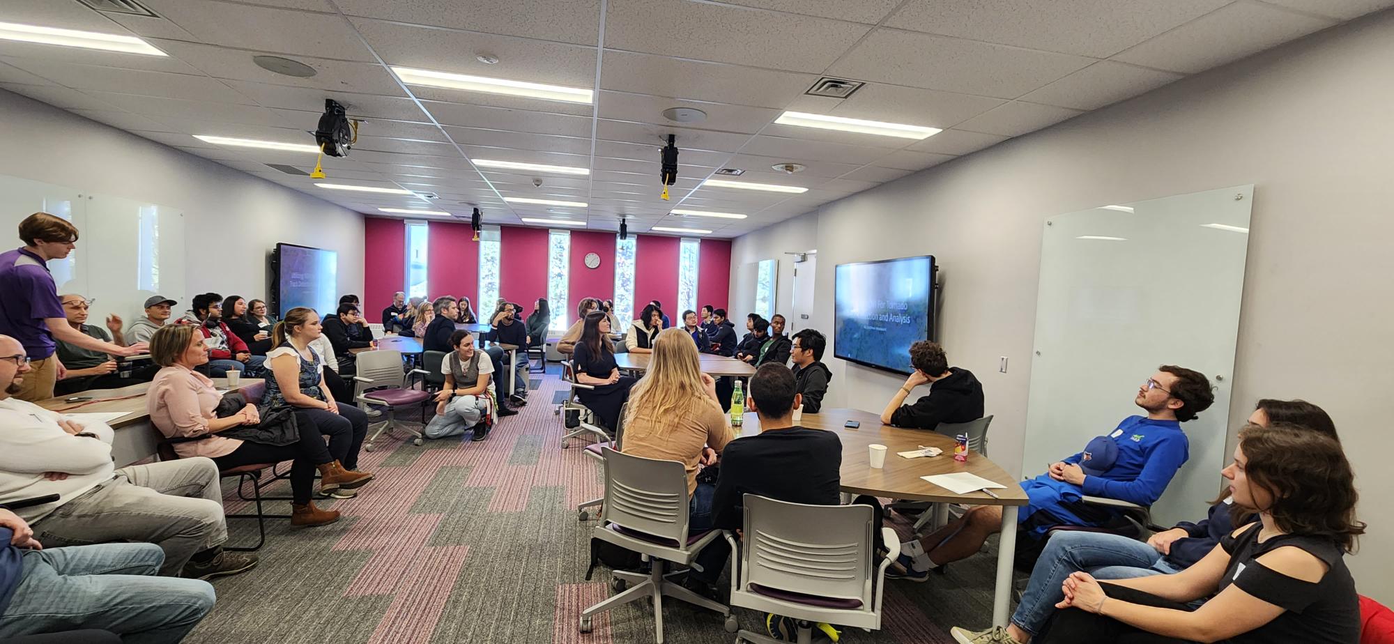
 University of Waterloo GIS Day 2023 Recap
Posted 9 months ago
By Ben Woodward in the UW Blog
By: Weronika Fydrych November 15th marked 2023’s GIS Day, the international celebration of everything geospatial! To participate, the University of Waterloo’s ECCE group, along with the Waterloo Association of Geography Students, the Univeristy of Waterloo Geospatial Centre, and Environment Technology and Instructional Support (ETIS) worked together to organize the University of Waterloo’s first in-person GIS […]
Read More
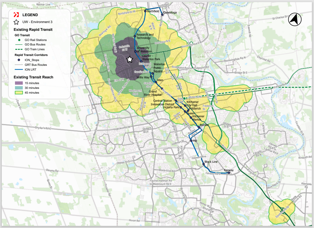 Transit Orientated Communities: A BA Group Co-op Showcase
Posted 11 months ago
By Harry Cheung in the UW Blog
My name is Harry, and I am currently on my third co-op term working as a Spatial Data Analyst with BA Group’s GIS team. BA Group provides transportation planning and engineering services to public and private organizations for the movement of people and goods in urban environments. The primary focus of my work revolves around conducting […]
Read More
 Using GitHub Desktop to Share and Collaboratively Develop Experience Builder Widgets
Posted 1 year ago
By Ben Woodward in the UW Blog
In this short post, I am going to extend my earlier tutorial on ArcGIS Experience Builder Dev Edition by showing you how to use GitHub Desktop to share and collaboratively develop your Experience Builder widgets. Why use GitHub GitHub allows you to upload copies of your codebase online in repositories. These repositories provide a backup […]
Read More
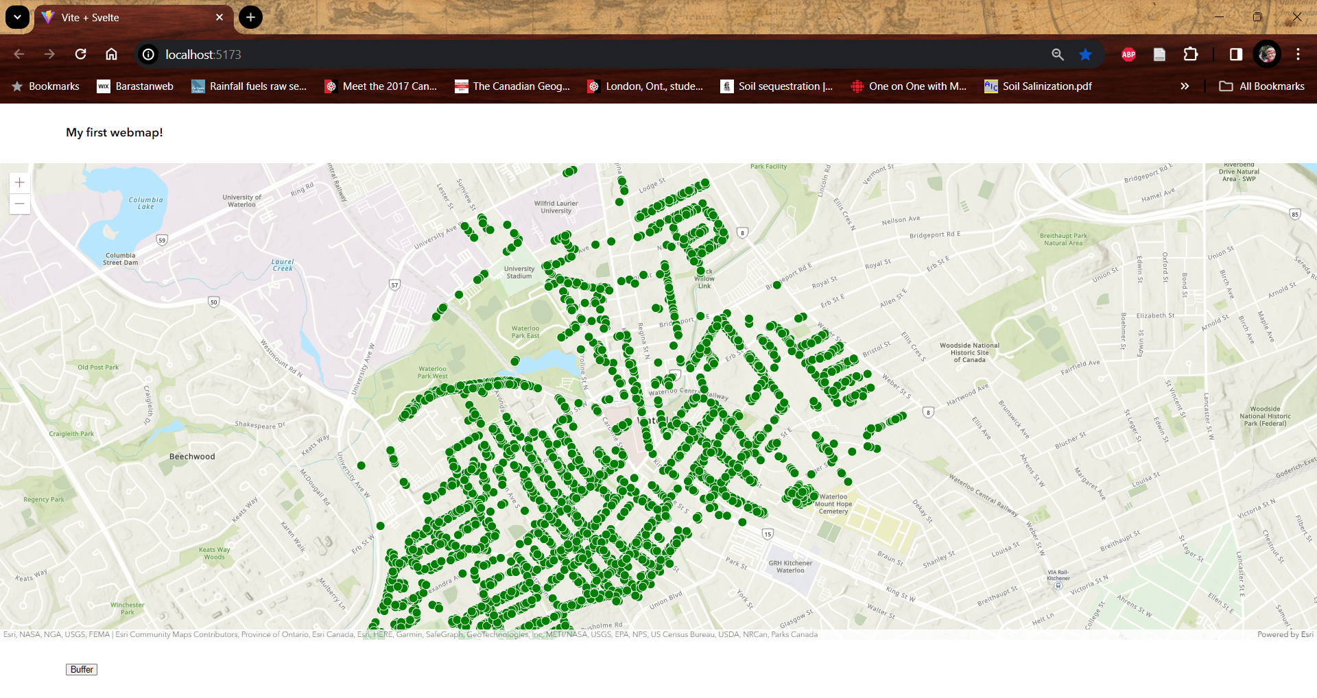 Getting Started with the ArcGIS SDK for JavaScript and Svelte
Posted 1 year ago
By Ben Woodward in the UW Blog
This post is part of a series on developing web maps, apps, and dashboards using Esri technology. This post will introduce the ArcGIS SDK for JavaScript, compare the JavaScript SDK to Experience Builder Dev, give a tutorial on how to build a web map using the JavaScript SDK and the Svelte JavaScript framework, and provide […]
Read More
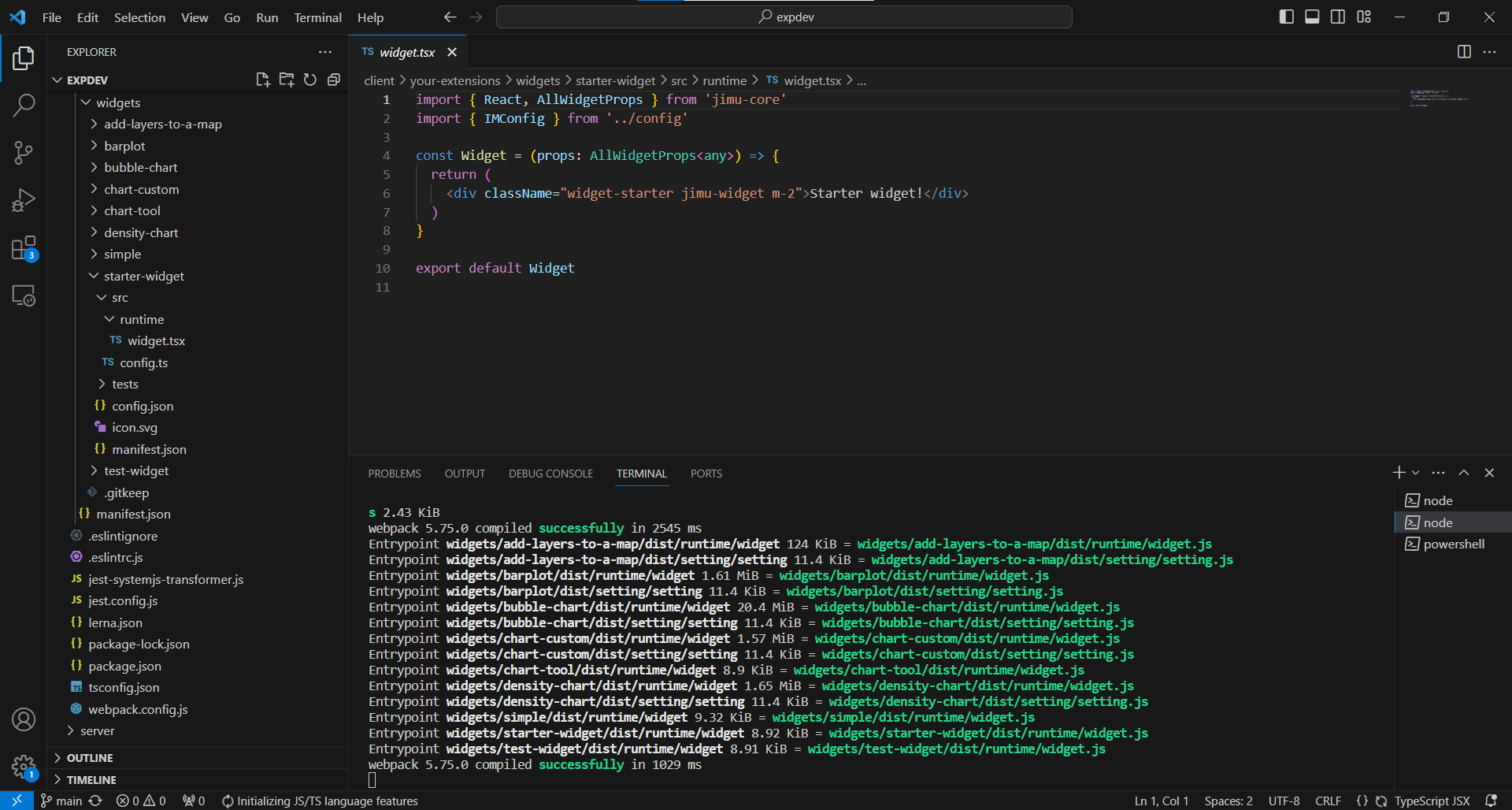 Getting Started with ArcGIS Experience Builder Dev Edition
Posted 1 year ago
By Ben Woodward in the UW Blog
This post is part of a series on developing web maps, apps, and dashboards using Esri technology. This post will go over how to get started with ArcGIS Experience Builder Dev Edition, compare Experience Builder Dev to Experience Builder in ArcGIS Online and to the ArcGIS SDK for JavaScript, and provide some additional resources to […]
Read More
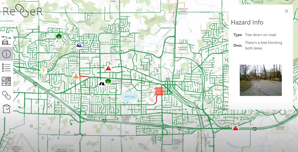 Building a Better Disaster Response App: Reflections on the 2022 ECCE App Challenge
Posted 2 years ago
By Ben Woodward in the UW Blog
By: Ben Woodward and Justin Lo Summary Ben: Earlier this year, I participated in the ECCE app challenge as a member of team G(oose)IS. This team consisted of Justin Lo (another University of Waterloo ECCE student associate), Jason Sousa (who has now graduated), and me. In this blog post, Justin and I will give an […]
Read More
 University of Waterloo ECCE Group
Posted 2 years ago
By Weronika Fydrych in the UW Blog
Hello everyone, I am proud to announce the University of Waterloo ECCE group from this year. My name is Weronika Fydrych (she/her) and I’m happy to be a part of the University of Waterloo’s ECCE student association. I am currently finishing up my final year in the School of Planning with a specialization in GIS. […]
Read More
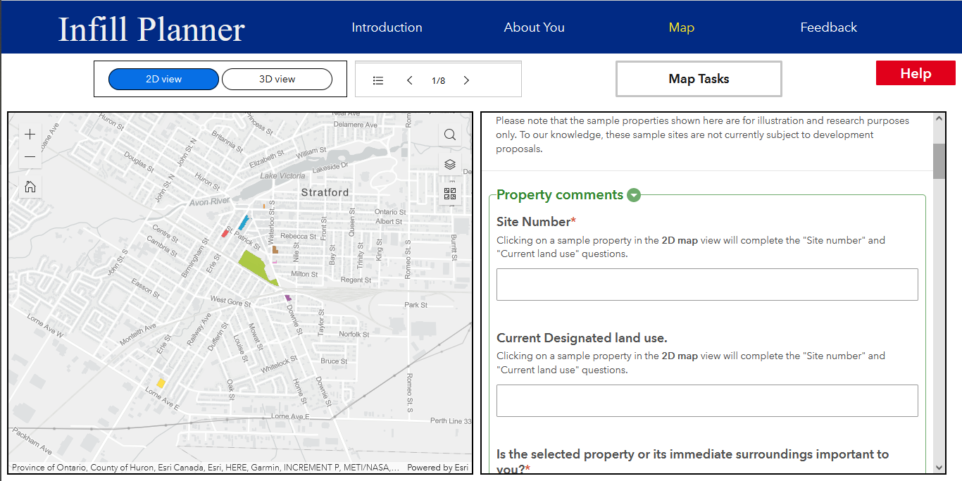 Developing a Map-based Web Tool using ArcGIS for my Masters Thesis
Posted 4 years ago
By Robert Arku in the UW Blog
Background As part of my master’s thesis research project, titled, “Infill Planner: A geo-questionnaire to gather public input on infill developments”, I developed a map-based tool/app as a data collection method for the research. I would like to share a broad overview of how this was done. I named the tool that I developed Infill […]
Read More
 About Me…
Posted 4 years ago
By Claire Barker-Sharp in the UW Blog
Hi there! My name is Claire, I am a fourth-year undergraduate student at the University of Waterloo’s School of Planning. I am thrilled to be one of UW’s student associates with Esri Canada GIS Centres of Excellence, and look forward to sharing my interests, studies, and research on the ECCE Blog, as well as participating in […]
Read More
 Creating the UPHILL Application in the ECCE App Challenge 2020
Posted 5 years ago
By Manpreet Chahal in the UW Blog
Hi all, During these uncertain times of COVID-19, GIS users all over the world have created dashboards using Esri technology to have real-time feeds of current spread of the virus. Before this pandemic started, I had the opportunity to participate in the ECCE App Challenge during Reading Week in mid-February at the University of Waterloo. […]
Read More
 University of Waterloo GIS Day 2023 Recap


