 Is mapping really the ultimate equalizer?
Posted 5 years ago
By Robert Arku in the UW Blog
When I was seven (7) years old, one of my favorite leisure activities was drawing the political map of my country, Ghana in West Africa, showing all then ten (10) administrative regions. I was very proud of my drawings (on hindsight, I should have had them framed). This map was a basic map which visually […]
Read More
 Doctoral Research: Mapping Erosion and Deposition in an Agricultural Landscape
Posted 5 years ago
By Benjamin Meinen in the UW Blog
I would like to share with everybody a small excerpt from my doctoral research that will be presented at the 4th Biannual Conference on GIS in Education and Research at the University of Toronto on March 4th and 5th, 2020 entitled “Mapping Erosion and Deposition in an Agricultural Landscape with UAV SfM-MVS”. The presentation builds […]
Read More
 Presenting at CAGOnt and GIS Day for the first time in 2019
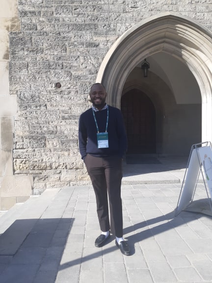
Posted 5 years ago
By Manpreet Chahal in the UW Blog
Hello everyone! This is Manpreet from UW and I would like to discuss two experiences I have had in fall 2019 presenting in conference settings for the first time. The first one was CAGOnt 2019, which is known as the Canadian Association of Geographers – Ontario Division. This is an academic conference for Geography grad […]
Read More
 My Experiences at Esri User Conferences in 2019
Posted 5 years ago
By Manpreet Chahal in the UW Blog
Hi all! This is Manpreet from UW! This past year I had the great opportunity to have been able to attend the Esri International User Conference in San Diego from July 8-12. I received this opportunity along with some fellow grad students at UW from winning the annual ECCE App Challenge held in 2019. We […]
Read More
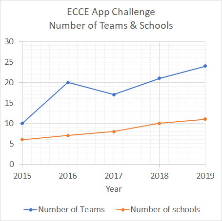 Growth of the ECCE App Challenge!
Posted 5 years ago
By Jaydeep Mistry in the UW Blog
What is the ECCE App Challenge? The ECCE App Challenge is a coding competition held by Esri Canada. It is designed to help promote GIS innovation and creativity within the Centres of Excellence that are located across Canadian universities and institutions. Growth in the Number of Teams Although the challenge first started in 2015 with just […]
Read More
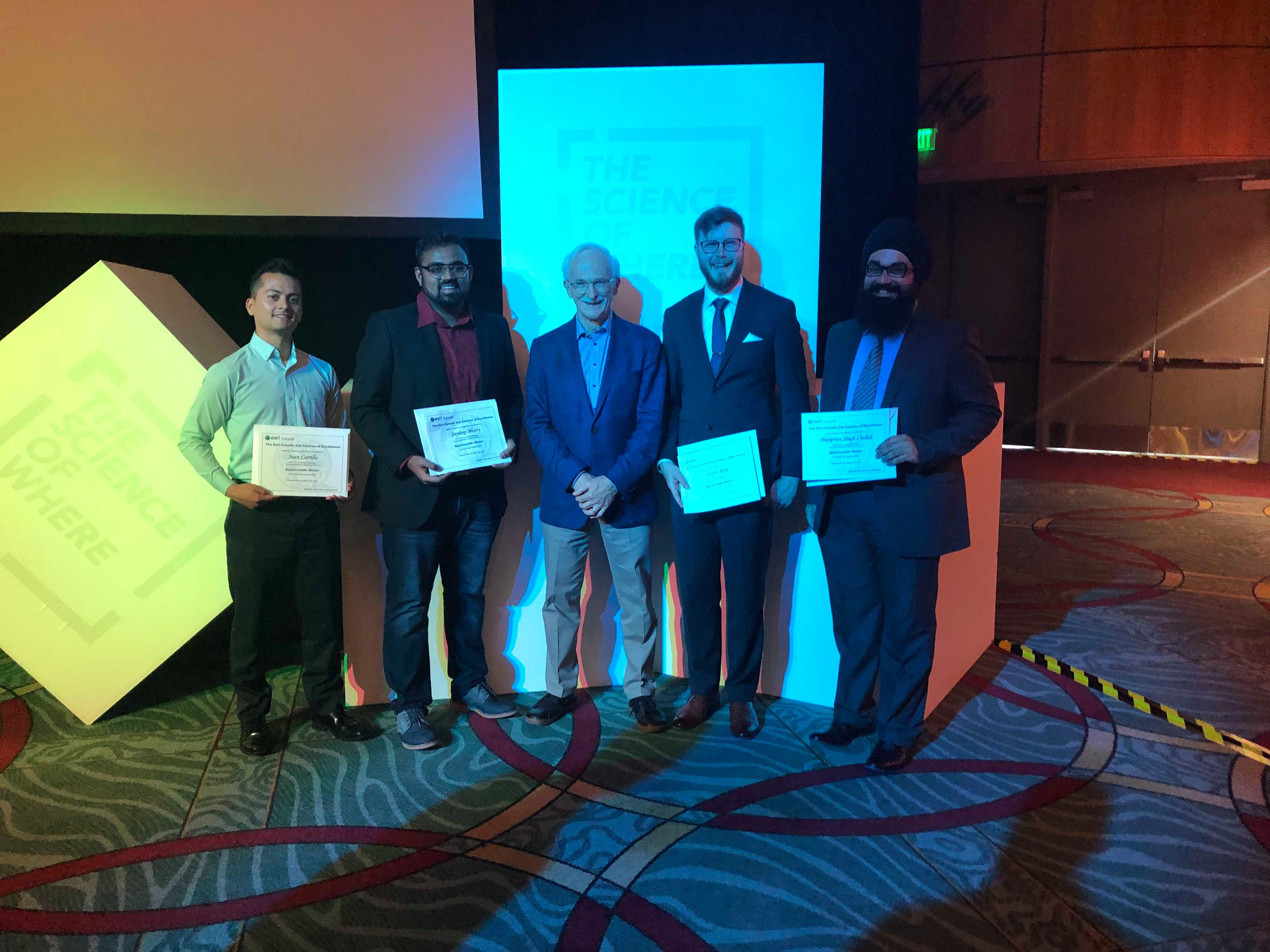
 Meet the winners of the ECCE App Challenge 2019
Posted 5 years ago
By Michael Leahy in the UW Blog
This year we held the fifth annual ECCE App Challenge, which has proven to be another great success. We had another a record turnout, with 24 teams participating from all 11 ECCE schools across Canada. The teams participating in the challenge this year were all tasked to create an app that addresses issues related to […]
Read More
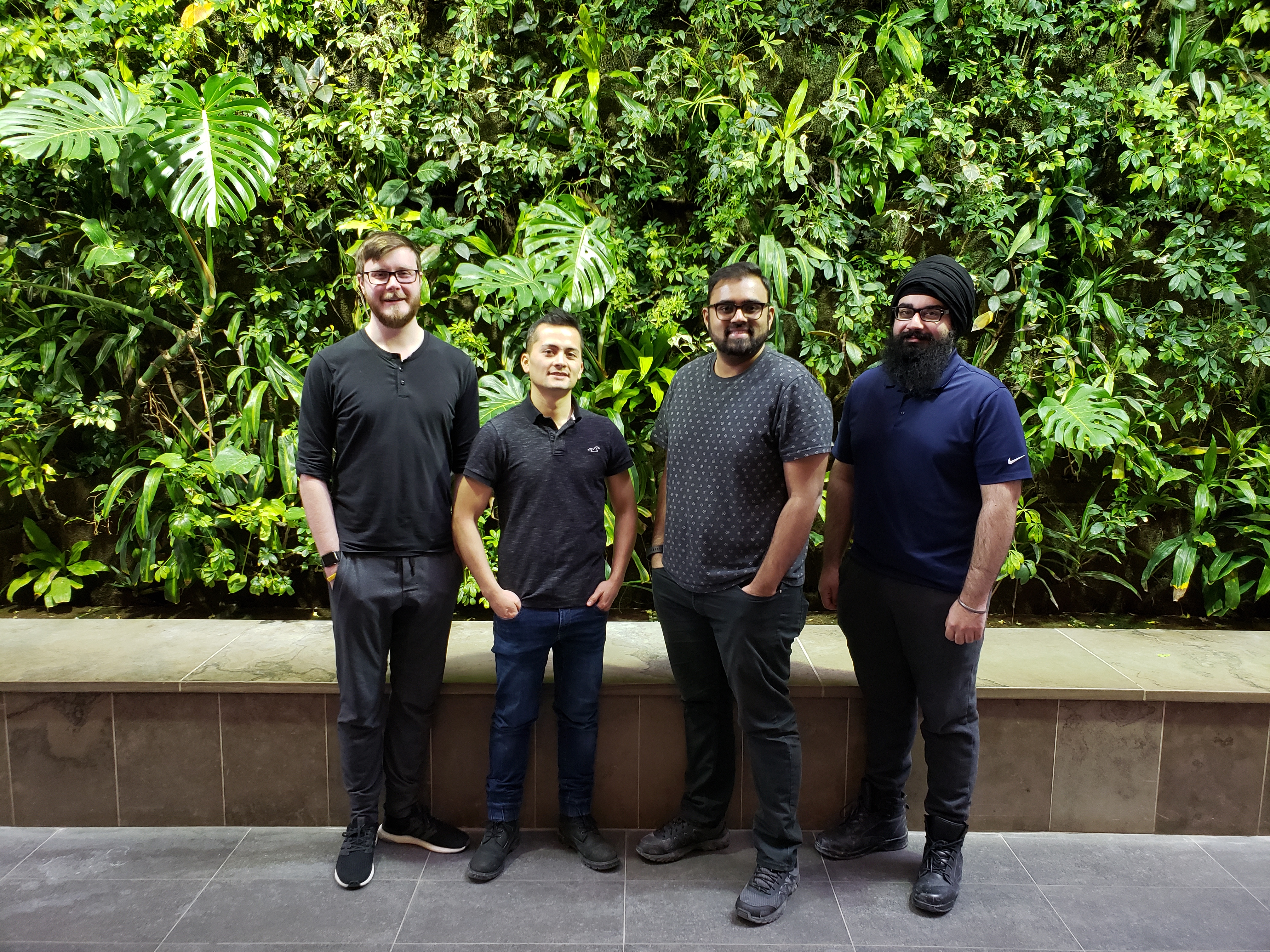
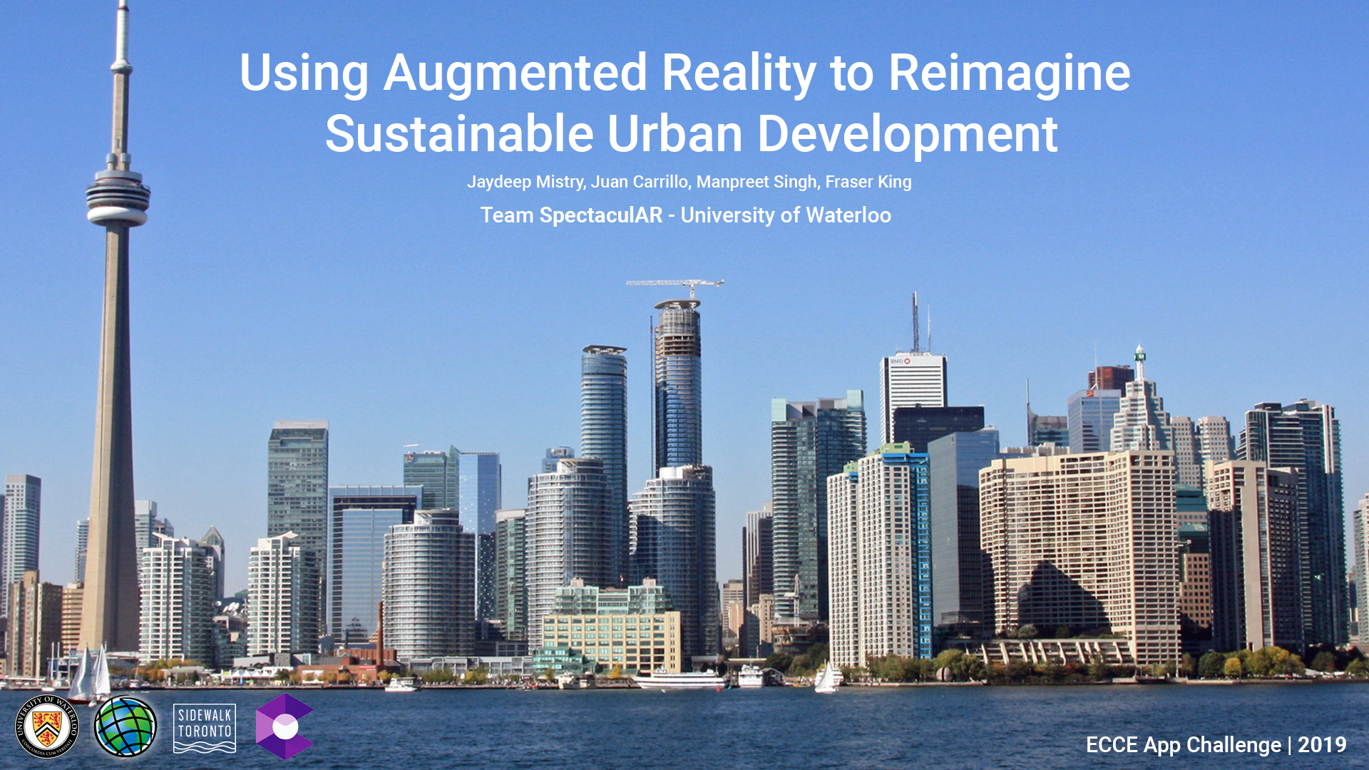 ECCE App Challenge 2019 – How We Made an AR App in 5 Days
Posted 6 years ago
By Jaydeep Mistry in the UW Blog
The App Challenge project that Jaydeep discusses below can be viewed from his team’s profile on the ECCE GitHub website: https://esricanada-ce.github.io/appchallenge/2019/teams/uw/SpectaculAR/ ECCE App Challenge 2019 – How We Made an AR App in 5 days This post is co-written by my teammate Manpreet Chahal. Since 2015, the Esri Canada Centres of Excellence (ECCE) has been hosting […]
Read More
 My Experience at the Esri User Conference in Toronto
Posted 6 years ago
By Manpreet Chahal in the UW Blog
Hi everyone! It is Manpreet from UW again and this time, I would like to discuss what I was able to take away from the Esri Canada User Conference that was held in Toronto, Ontario on October 10 and 11 in 2018. I was able to only attend on the first day of the conference […]
Read More
Learning via Conducting a Lecture and Workshop on Story Maps
Posted 6 years ago
By Manpreet Chahal in the UW Blog
Hi everyone! Once again, it is Manpreet from UW. This time, I would like to discuss my experience of giving a lecture on Esri story maps and conducting a workshop with undergraduate students in one of my graduate courses this term. This was the first time I was giving a full lecture to undergraduate students, […]
Read More
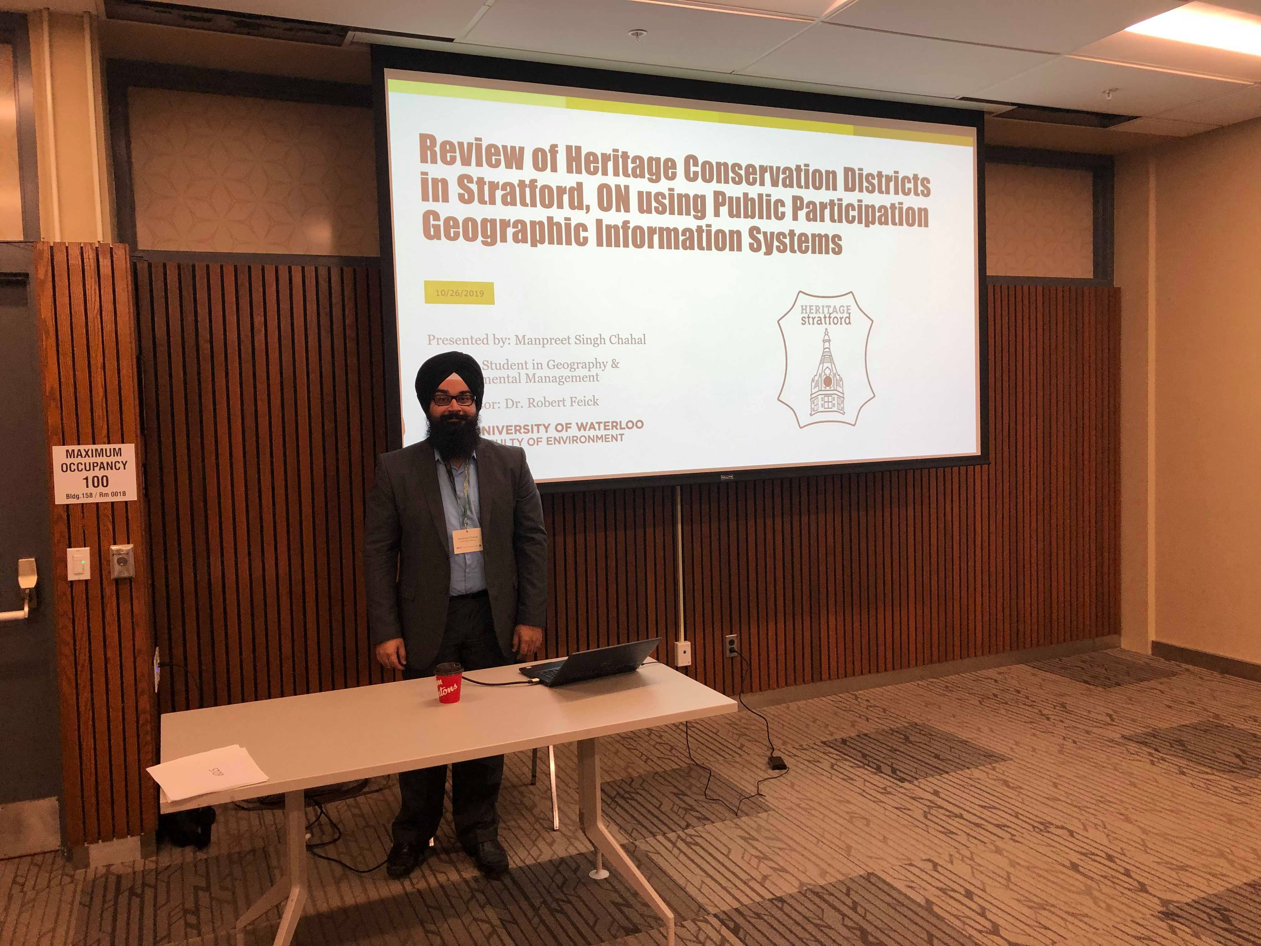
About Me
Posted 6 years ago
By Manpreet Chahal in the UW Blog
Hi everyone! My name is Manpreet Singh Chahal, and I am a first-year master’s student at the University of Waterloo. I am doing a Master of Science in the Geography and Environmental Management program specializing in Geomatics. I am working with Dr. Robert Feick and currently, my research entails using Public Participation Geographic Information Systems […]
Read More

