 ECCE App Challenge 2021 (COGS: Rocky Mountain Edition)
Posted 3 years ago
By Johnny Chang in the COGS Blog
The Esri Canada App Challenge, having recently completed its 7th year, provides GIS students across Canada an amazing opportunity to showcase their newly acquired geospatial skills...
Read More
 Readability
Posted 3 years ago
By Johnny Chang in the COGS Blog
Something I’ve always struggled with, going back to when I was getting my Bachelors in Computer Science, was balancing elegance and readability when writing code. There’s something deeply satisfying, to me at least, in condensing 30 lines down to 3. Or eliminating it altogether! During my first coop term, in a story for another day, […]
Read More
 Creating Customized Bar Graphs with Limits in ArcGIS Online Pop-Ups
Posted 5 years ago
By Liam Gowan in the COGS Blog
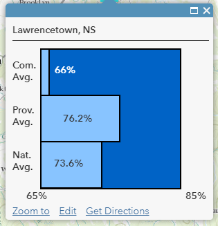
Creating column and bar graphs in ArcGIS Online is an easy way to show numerical data to users in pop-ups, but what it lacks is the ability to customize colours, say which column/bar corresponds to which data, and set limits that correspond more appropriately to the data presented. Why does this matter? Lets say that you […]
Read More
 ECCE App challenge 2019!
Posted 5 years ago
By Nicole Peters in the COGS Blog
Hello Everyone! What a whirlwind week that was, with next week promising much of the same as I am attending the Esri Developer Summit in Palm Springs. I participated in the App Challenge as a part of team GeoPanda – one of three teams representing COGS in the challenge this year. Along with fellow ECCE […]
Read More
 GIS Beyond Earth
Posted 5 years ago
By Andrea Zagar in the COGS Blog
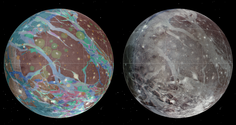
When we think about GIS in our everyday lives, we typically consider the ways it benefits us here on Earth. From mapping natural disasters to planning the intricate details of new urban areas, GIS has transformed the way we use and visualize spatial data. However, unbeknownst to many of us, GIS has many applications in a […]
Read More
 Collector for ArcGIS vs. Classic
Posted 5 years ago
By Kaleb McNeil in the COGS Blog
Collector for ArcGIS is a convenient way to integrate geographic data collection with your existing ArcGIS platforms. This mobile application works with ArcGIS Online to remotely collect and add data to an existing map in real-time. But with the release of the new Collector app (still in beta for Android users), GIS enthusiasts all over […]
Read More
 Partially Scripted Way to Show Images Obtained from Collector in ArcGIS Online Pop-ups
Posted 5 years ago
By Liam Gowan in the COGS Blog
So, you’ve just used Collector to collect data, including pictures, and now you want to display those images in ArcGIS Online pop-ups for each data point, but you keep getting something that looks like this? But instead want your picture displayed in the pop-up, like this? Read on for one solution that does not involve […]
Read More
 Old ideas with new potential – GIS as a tool for game content development
Posted 6 years ago
By Nicole Peters in the COGS Blog
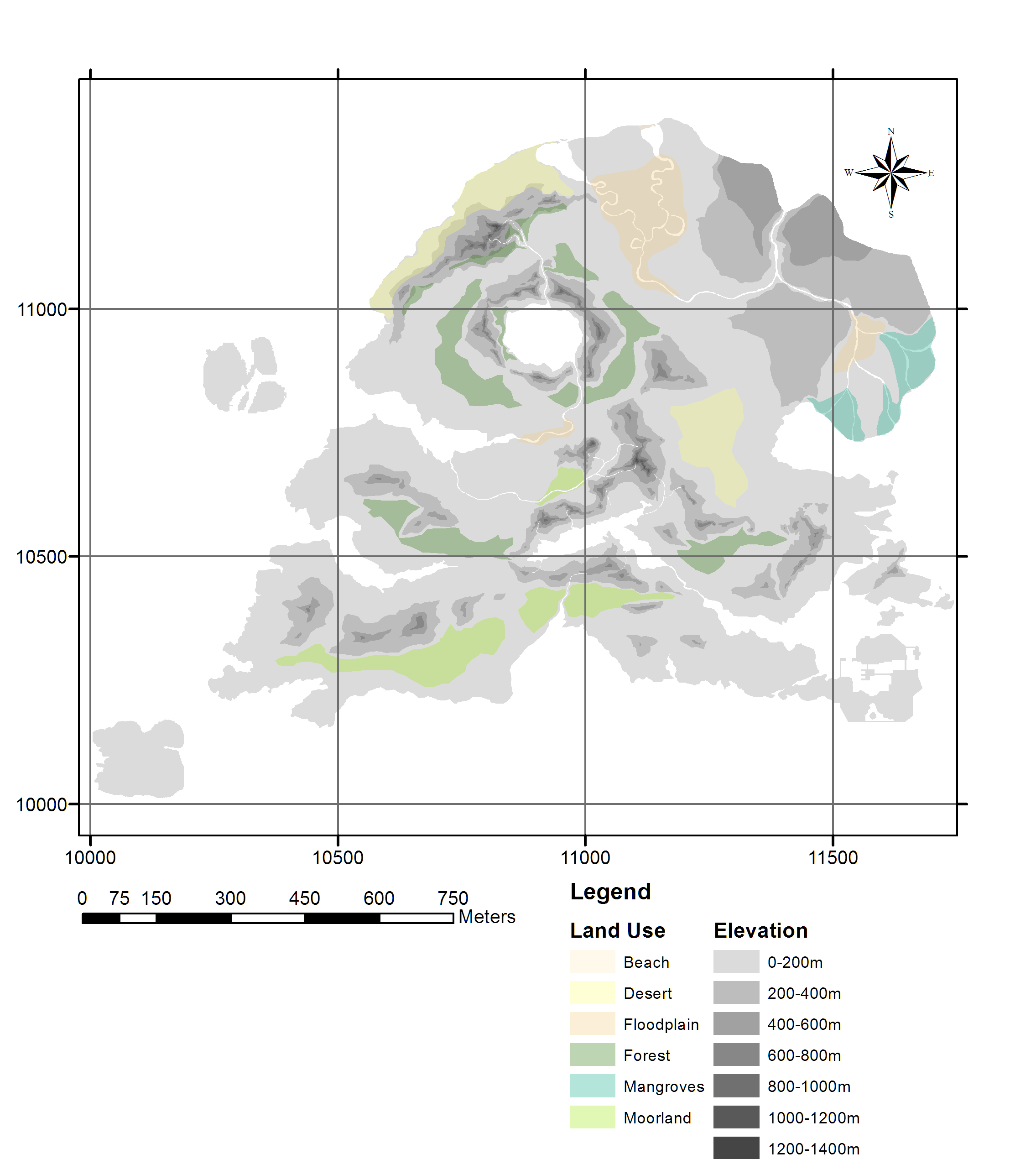
I feel like the New Year is a good time to both reflect on the past and consider the future. I’m sure I’m not the only one who has dusty old GIS projects and ideas that we never had – or made – the time to work on in ages, whether it be an idea […]
Read More
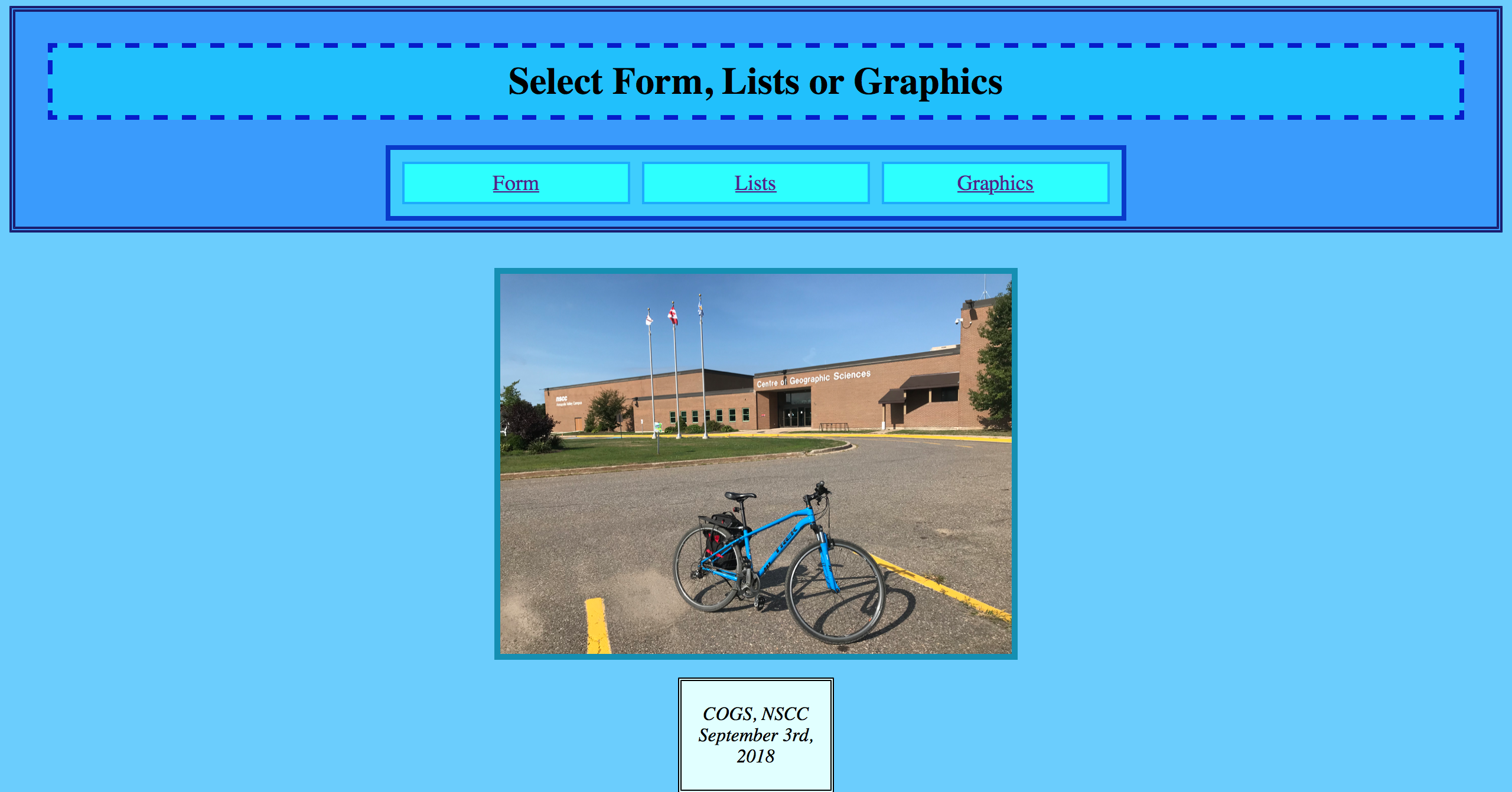 COGS First Semester Overview for Non-Geomatics Grads
Posted 6 years ago
By Liam Gowan in the COGS Blog
If you had asked me in January 2018, when I was just entering my final semester of a computer science degree and never hearing of GIS, if I thought I’d ever be putting my CS knowledge to anything involving geography, I probably would have said “Why? Google Maps and GPS’s already exist, there’s nothing else […]
Read More
 COG(S)itation on the Esri Canada Fredericton User Conference 2018
Posted 6 years ago
By Liam Gowan in the COGS Blog
Greetings everyone, My name is Liam Gowan and I am enrolled in the Advanced Diploma in Geographic Sciences (and will be enrolling in the GIS concentration) at the Centre of Geographic Sciences, NSCC. I am one of the six ECCE Student Associates from COGS, and I am writing to reflect on my experience of the […]
Read More
 ECCE App Challenge 2021 (COGS: Rocky Mountain Edition)


