 Winning this year’s ECCE app challenge on reducing the unequal exposure to air pollution in Canada
Posted 3 years ago
By Sherry Chen
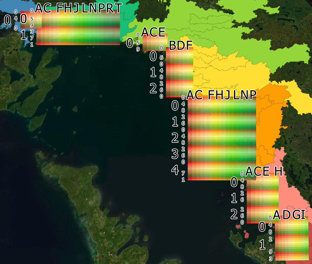
The ECCE annual app challenge started in 2015 and continued earlier this year (2021). This year was my second time participating. Like last year, we spent the entire week working virtually, which helped reduce commute time but was instead spent waiting for the other person’s screen to unfreeze. I am proud of our team for […]
Read More
 Creating websites using ArcGIS Hub: Atlas of Coastal Wetlands in Georgian Bay
Posted 4 years ago
By Sherry Chen
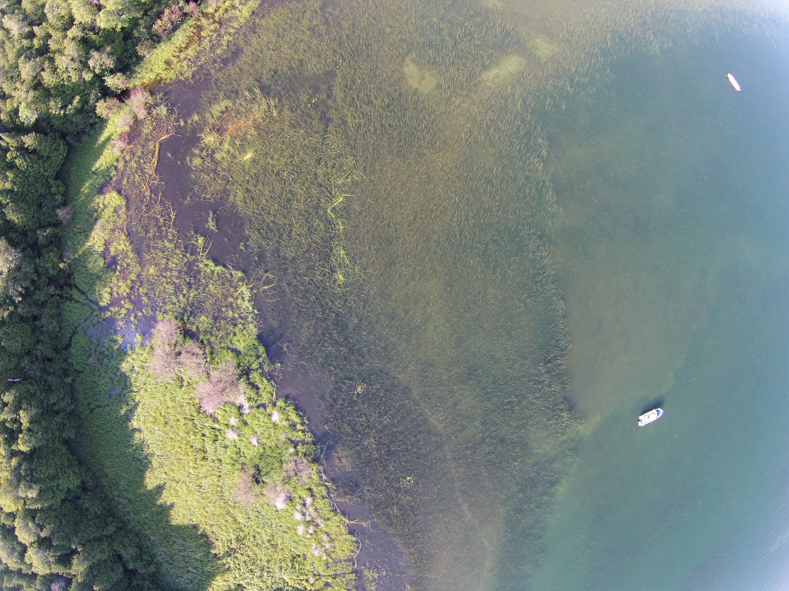
ArcGIS Hub was used to create our interactive Atlas of Coastal Wetlands in Georgian Bay. For an ecology lab without any programmers or web design specialists, we published an interactive atlas (that is mostly under construction) to present and share qualitative, quantitative, and geographic data collected, published papers, photos and videos of sampling sites, and […]
Read More
 Is the world’s largest freshwater archipelago losing islands? How water levels impact coastal marshes
Posted 4 years ago
By Sherry Chen
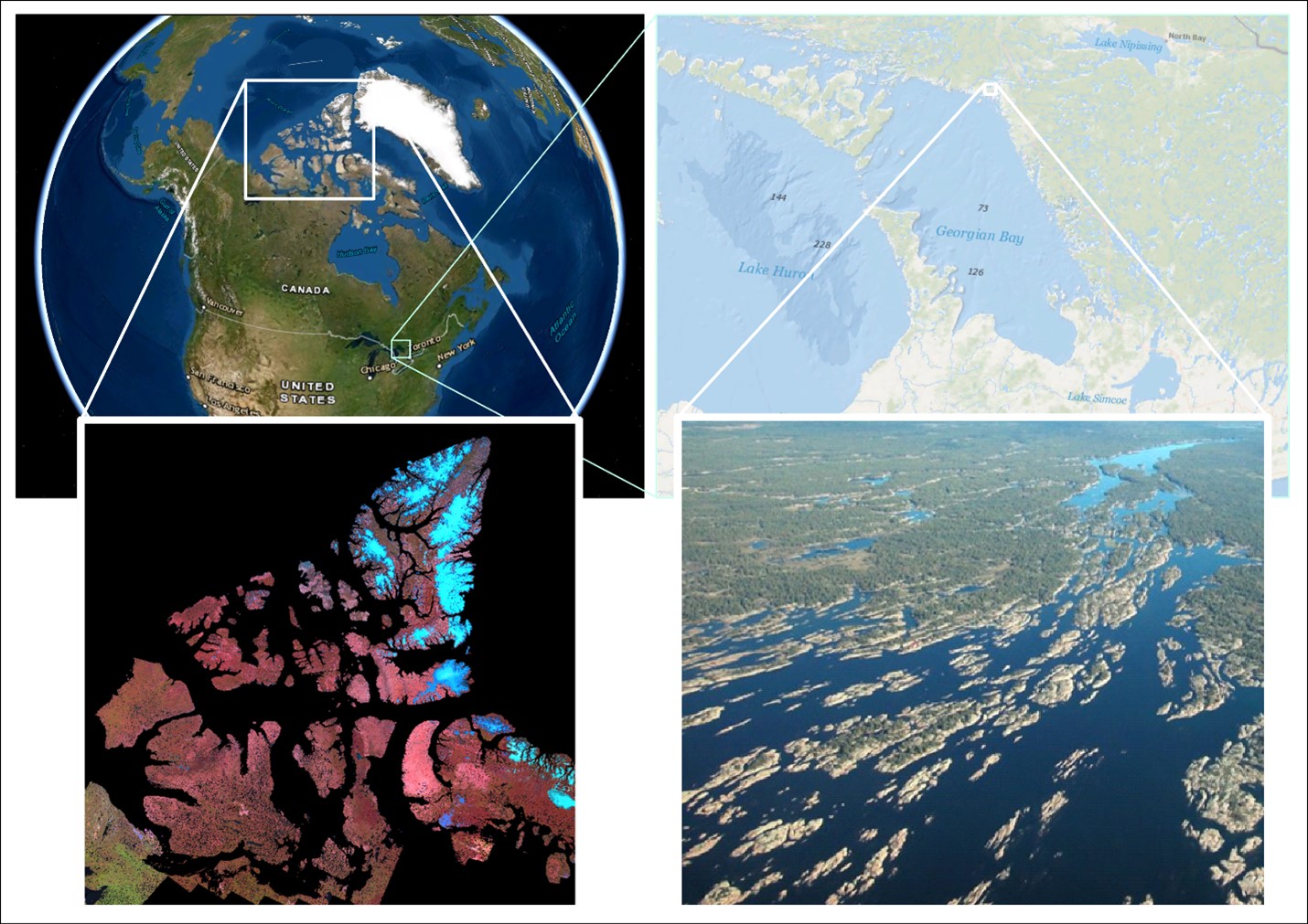
An archipelago is a collection of islands. Canada is home to 2 of the biggest, a saltwater and a freshwater archipelago. The saltwater archipelago is in the northern part of Canada (> 35 K islands) that no one during geography class was able to fully draw. It is the world’s second largest saltwater archipelago. The […]
Read More
 Labeling Fishnets with Unique Codes
Posted 5 years ago
By Sherry Chen
Purpose Fishnets are useful for a variety of projects and fields including conservation where it can be used to assign a reference code for unnamed sites and identify sites with a geographically unique name. The current fishnet tool in ArcGIS does not include a function to label each cell with a unique code. A tool […]
Read More
 Clipping a Large DEM to a Large Shapefile and Getting Raster at Specific Elevations/Depths
Posted 5 years ago
By Sherry Chen
When given the task of clipping a large DEM of Georgian Bay to a large shapefile of wetlands running along eastern and northern Georgian Bay at five different lake levels between specific depths, it led to more crashes than I expected. I found similar problems online and I want to show how I overcame it. […]
Read More
 Clipping a big DEM to a small shapefile and using Con to get specific depths
Posted 5 years ago
By Sherry Chen
For my undergrad independent project, I am creating an atlas of coastal Eastern Georgian Bay with the Pat Chow-Fraser Lab at McMaster University. The atlas covers wetland information such as fish and vegetation community, water quality indices, wetland area and volume, and more. I primarily work on calculating wetland area and volume at five different […]
Read More
 Winning this year’s ECCE app challenge on reducing the unequal exposure to air pollution in Canada


