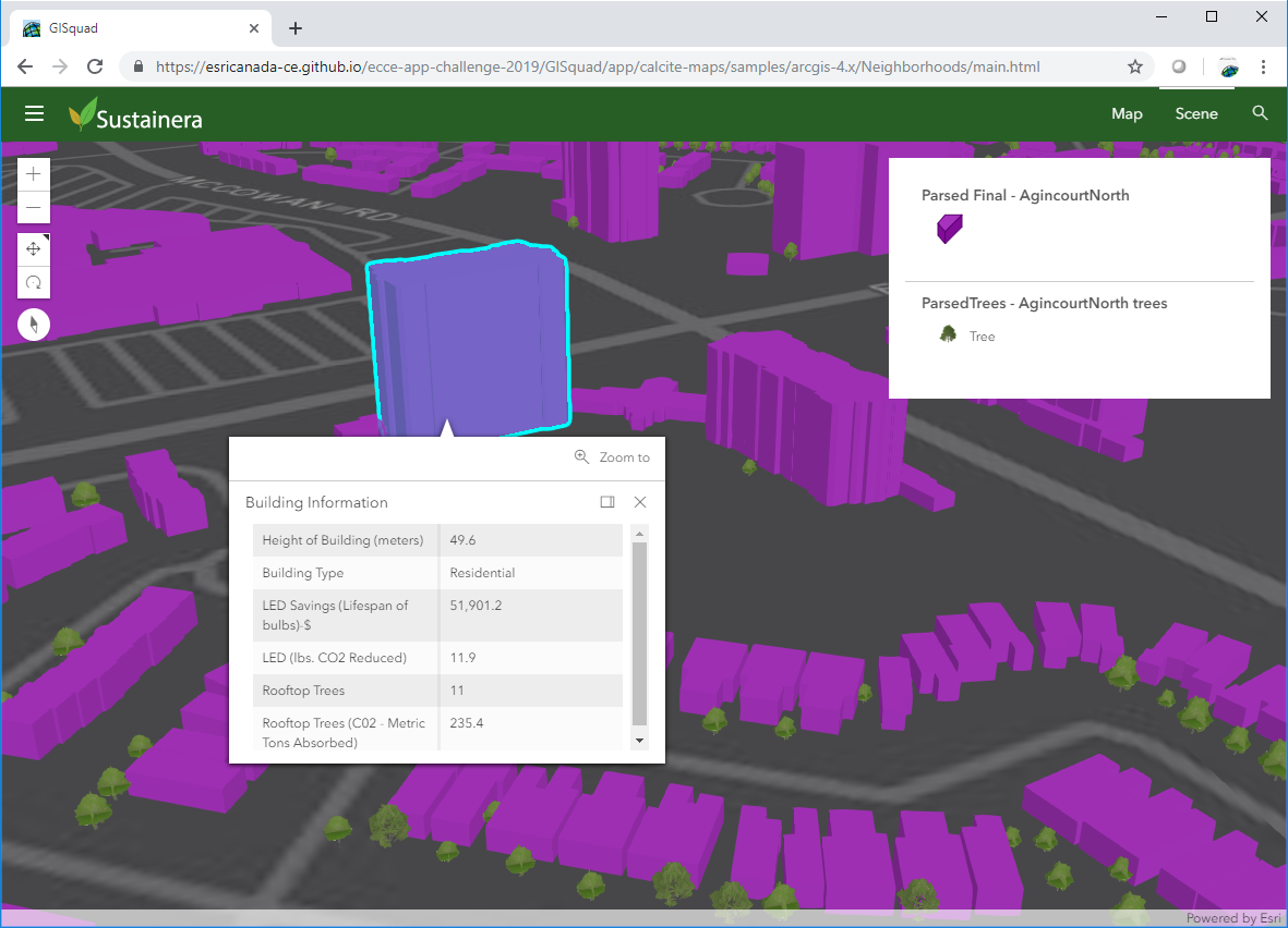
 ECCE App Challenge 2019 – Development and Design of a 3D Sustainability Web App
Posted 6 years ago
By Matthew Brown
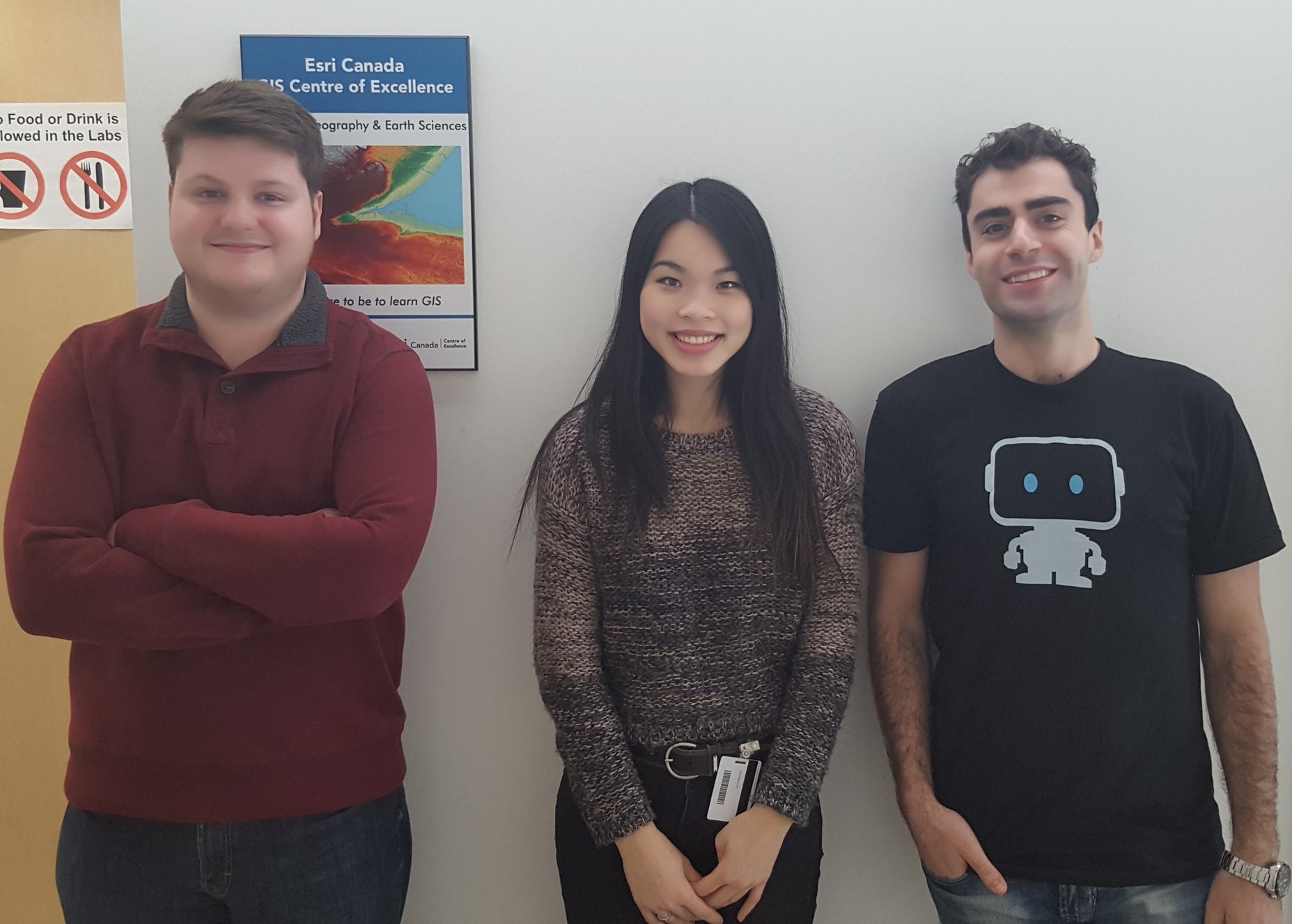
The App Challenge project discussed below can be viewed from the GISquad team’s profile on the ECCE GitHub website: https://esricanada-ce.github.io/appchallenge/2019/teams/mac/GISquad/ Congratulations to Matt, Tasos and Michele for ranking as the first runner-up in the competition! This post is a collaboration between McMaster ECCE Student Associates Matt Brown and Anastassios Dardas. A few weeks ago, our […]
Read More
 Processing Millions of Bikeshare GPS Points with ArcGIS
Posted 6 years ago
By Matthew Brown
For this post I wanted to dive into some of the work I’ve been doing for my Master’s thesis in the Transportation Research Lab at McMaster. Our lab has a partnership with the folks at SoBi Hamilton, who manage the city’s bike share program. If you don’t know what a bike share program is, it […]
Read More
 Esri MOOC Review: “Cartography.” – A Great Free Resource
Posted 6 years ago
By Matthew Brown
Education nowadays is extremely expensive. The average Canadian tuition cost for the 2017-18 school year was $6,571 – a 3.1% increase from the previous year (Statistics Canada, 2017). E-Learning platforms like Udemy, SkillShare, and Teachable are on the rise as more cost-effective ways of learning new skills or subjects. My university education has been extremely […]
Read More
 ECCE App Challenge 2018 – My Experience + Tips for Success
Posted 7 years ago
By Matthew Brown
A few months have passed since the 2018 ECCE App Challenge was underway. Having now completed two App Challenges, I want to share my experience to tell you about what it’s like and also share some useful tips I learned along the way. For those who don’t know, the ECCE App Challenge is a week-long […]
Read More
 Esri DevSummit 2018 – My Experience Learning to Code in California
Posted 7 years ago
By Matthew Brown
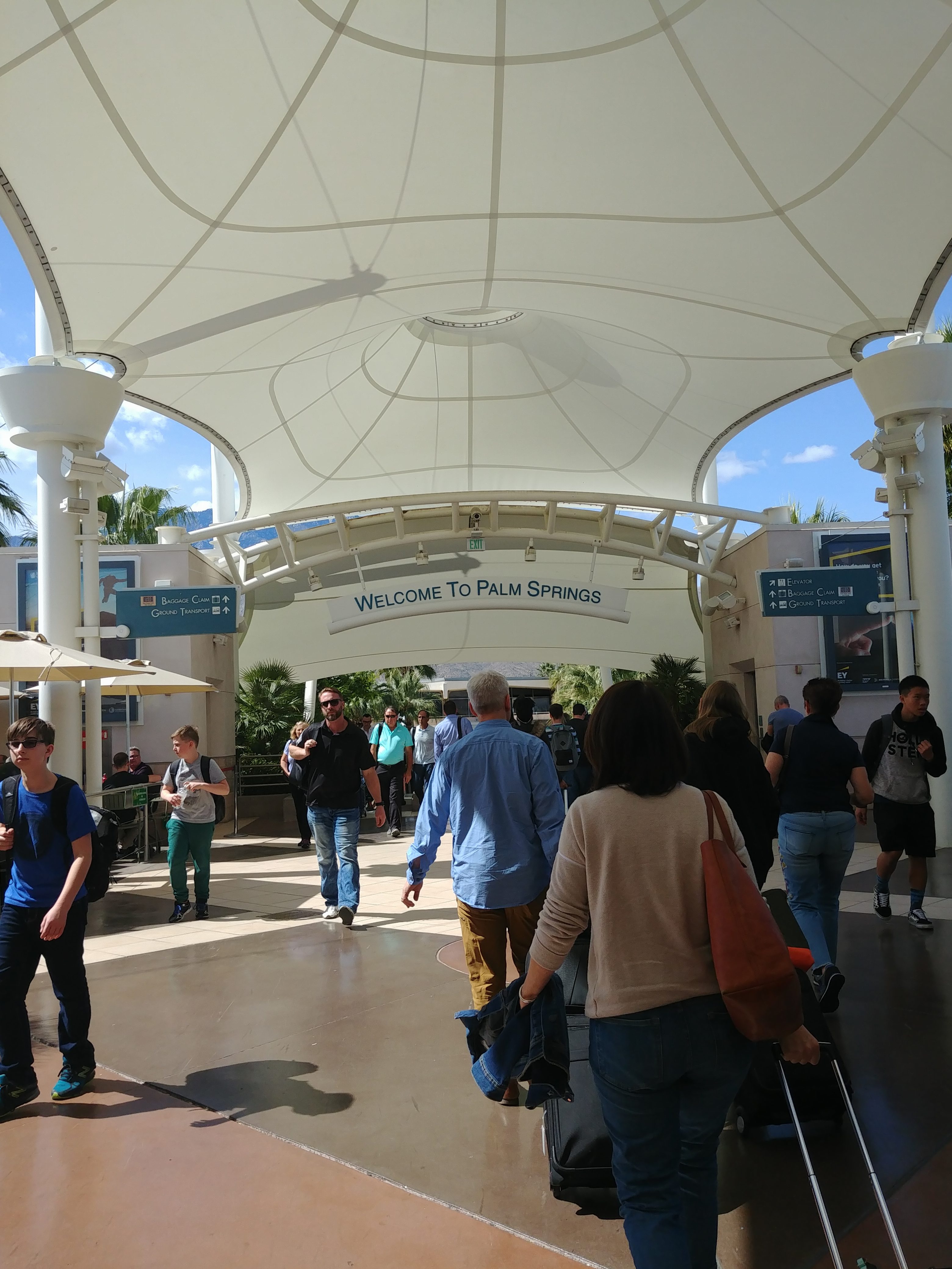
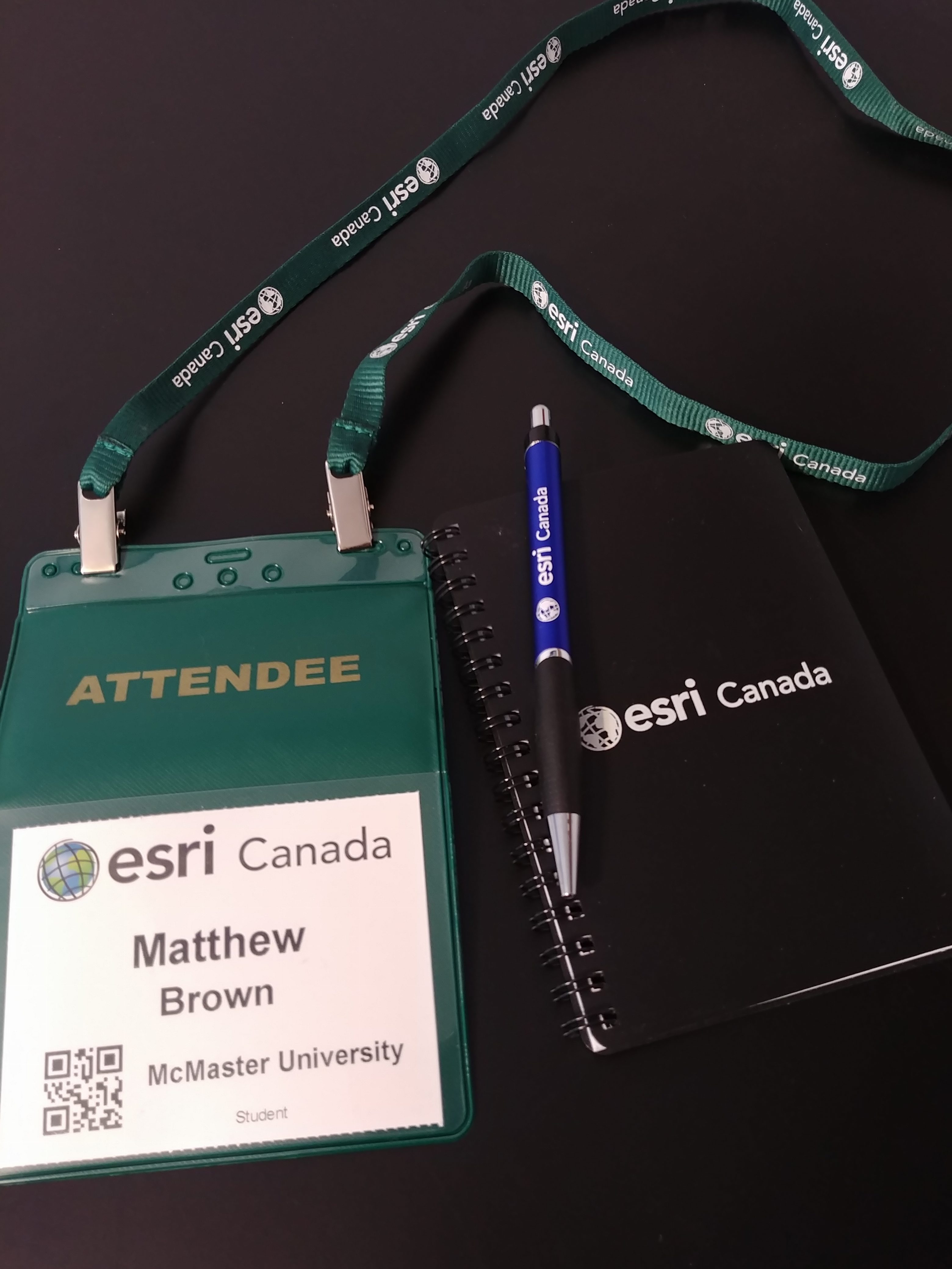
At the beginning of March, I got the opportunity to attend the 2018 Esri Developer’s Summit (DevSummit for short) along with my fellow McMaster Student Associate Tasos Dardas. This conference occurs annually in sunny Palm Springs, California. This is my second time attending, thanks to the ECCE Student Associates program, which provides free registration to […]
Read More
 Using GIS to Model Transportation Problems – A case study of Hamilton, Ontario’s Highways
Posted 7 years ago
By Matthew Brown
As I hinted at in my last post, I want to now take the opportunity to share some of the research that I conducted for my undergraduate thesis. My topic stemmed from an idea about the controversy I grew up around in my home town of Hamilton, Ontario surrounding the two local highways – the […]
Read More
 GIS in Education and Research Conference – My Experience
Posted 7 years ago
By Matthew Brown
This past Wednesday, October 11th, me and a few of my colleagues got the opportunity to attend the Esri Canada GIS in Education and Research conference at the University of Toronto campus. This conference occurs every two years and attracts educators and students in the field of GIS. It was my first time visiting the […]
Read More
 Making Apps That Promote Citizen Engagement with AppStudio for ArcGIS
Posted 8 years ago
By Matthew Brown
In one of my recent courses I had the opportunity to create an application using AppStudio for ArcGIS as an assignment. This software allows you to create native applications (meaning apps that are created for use on specific platforms, as opposed to mobile web apps) without knowing any programming. Of course, if you have programming […]
Read More
 Story Map – Exploring Crime in Canada’s Most Populous City
Posted 8 years ago
By Matthew Brown
Hello again everyone! I hope everyone’s November hasn’t been too stressful. In this post, I’d like to discuss a recent story map I made. In my current GIS course, our final assignment was due a week ago. Our instructor decided to make our final project something that could have tangible rewards beyond the classroom. Each […]
Read More
 Interactive web app: Beer-Me
Posted 8 years ago
By Matthew Brown
I’m currently enrolled in a fourth year course at McMaster called “Special Topics in GIS”. A recent class assignment we had was to create a mobile web application using the Web AppBuilder with ArcGIS Online. Together with my group member, Michael Kirchin, we created an app called Beer-Me, which allows users to find the nearest […]
Read More
 ECCE App Challenge 2019 – Development and Design of a 3D Sustainability Web App


