 Creating a 3D City Model with ArcGIS CityEngine
Posted 6 months ago
By Ngoc Phan
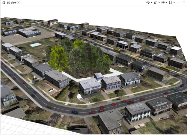
This post demonstrates the process of constructing a 3D city model using ArcGIS CityEngine, leveraging data from sources like OpenStreetMap, including network, footprint, and terrain databases. The project is a component of the “3D Geographical Information Systems” course at the Geodesy and Geomatics Department, University of New Brunswick. 1. Collecting data Using the “Get Map […]
Read More
 LOD1 Generation Using ArcGIS Pro
Posted 6 months ago
By Ngoc Phan
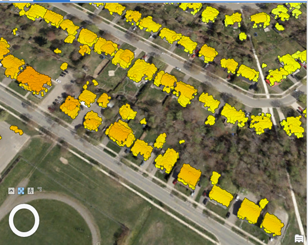
This article aims to provide insights into LOD1 generation utilizing ArcGIS Pro within the context of the “3D Geographical Information Systems” course offered by the Geodesy and Geomatics Department at the University of New Brunswick. The process of constructing LOD1 involves three fundamental steps outlined below. 1. Understanding LOD1 LOD1, or Level of Detail 1, […]
Read More
 Computational method of ArcGIS Ordinary Kriging tool
Posted 2 years ago
By Ngoc Phan
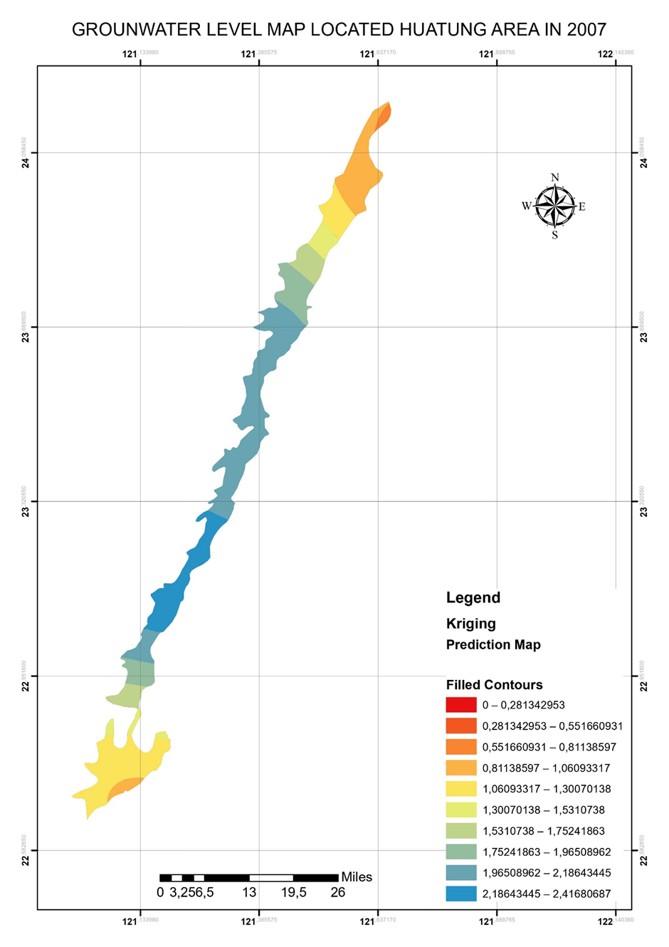
ArcGIS provided outstanding and friendly interpolation tools to common users. I unitized Kriging tool in ArcGIS to interpolate the data points a long time ago. However, understanding its method is a different story. My previous background is in Applied Geology, particularly Groundwater modeling. I, therefore, had a chance to learn the meaning of the ArcGIS […]
Read More

