 “Seeing” Peatland Stress from Space: Relationships between Sentinel satellite data and peat moisture. Part 1
Posted 3 days ago
By Alex Furukawa
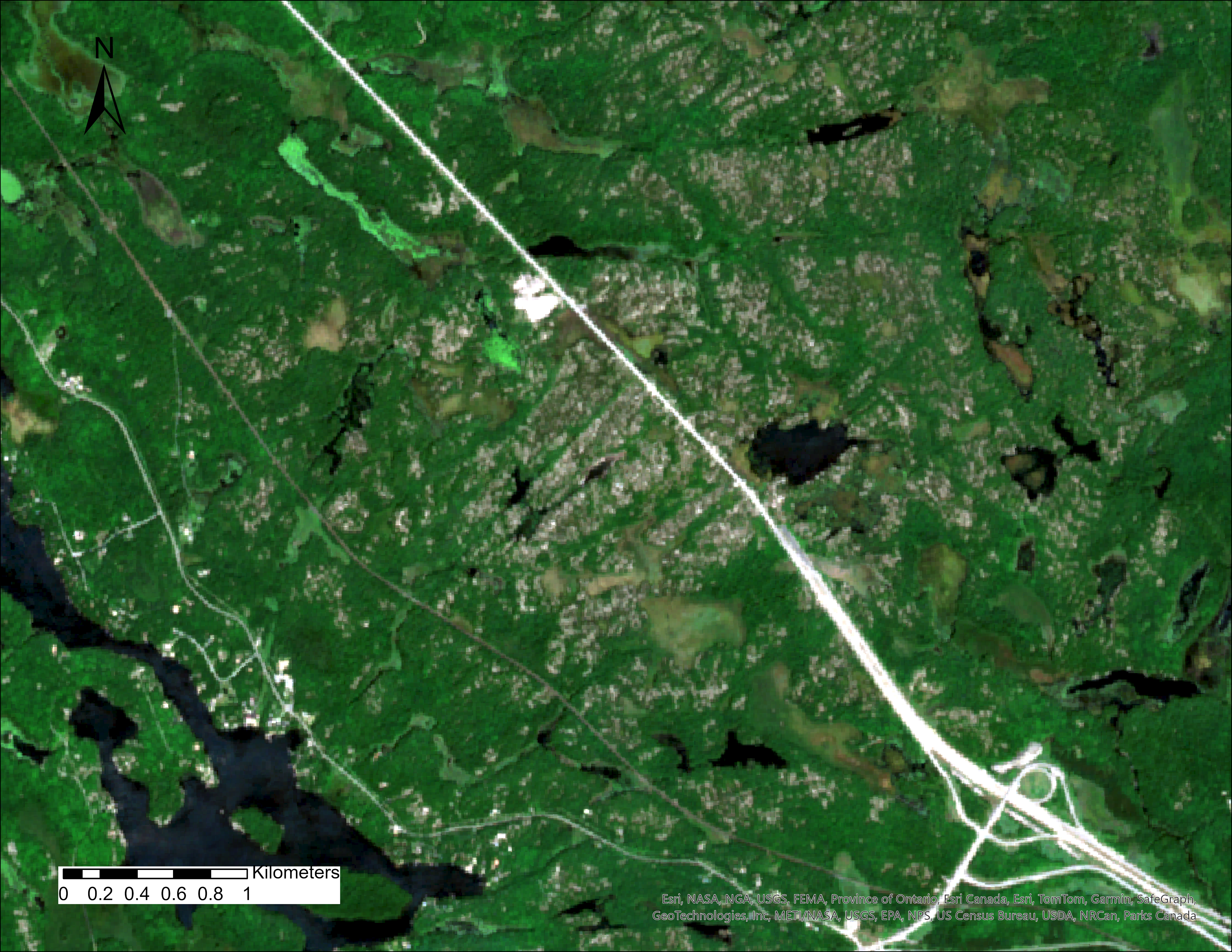
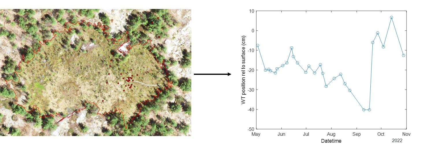
This is the first in a multi-part series detailing the process of linking in-situ peatland water table data to satellite data. While monitoring the water table, or moisture status of a peatland is by no means a complicated task that is usually accomplished simply with a groundwater well, they beg the question of ‘ungauged basins’ […]
Read More
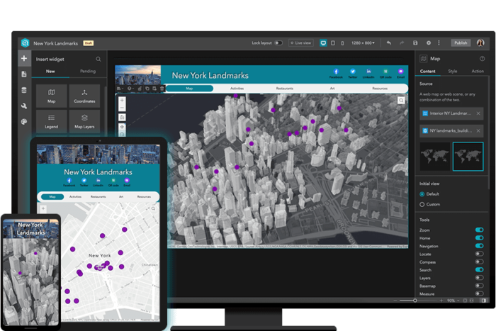 Gaining more experience with Experience Builder: Building Web Apps with ArcGIS Experience Builder
Posted 5 months ago
By Alex Furukawa
Recently, as an ECCE associate I was fortunate to be able to partake in a two-day course offered by Esri Canada: Building Web Apps with ArcGIS Experience Builder. While I have dabbled a bit in the self-guided lesson options available through the Esri Course Catalogue, this was the first instructor-led course for me (and the […]
Read More
 2023 ECCE App Challenge: ConservNation Canada
Posted 10 months ago
By Alex Furukawa
It’s been several months since the whirlwind of the App Challenge held this past spring has come and gone. While I can’t speak to the entirety of this challenge and the resulting app developed with Team GIS (Gauging Impacted Species) consisting of myself, Daniel Van Veghel and Henry Gage, this post will elucidate upon some […]
Read More
 ArcGIS in Hydrological Field Data Collection: Reflections on the 2022 Field Season
Posted 1 year ago
By Alex Furukawa
This post is an overview of our research lab’s recent usage of ArcGIS applications, specifically the mobile platform, in the collection of field hydrological data. Our lab, the McMaster Ecohydrology Lab, has integrated ArcGIS in our field data collection since 2018 with the Collector App, and has since shifted to Field Maps in 2021 along […]
Read More

