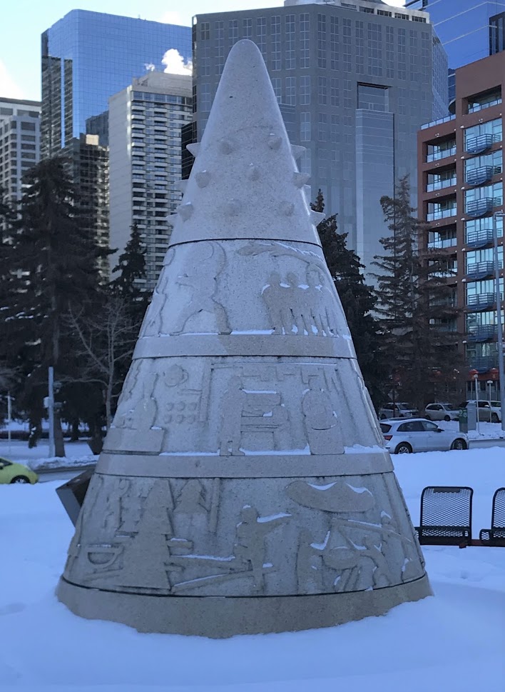
 Mapping Cultural Character
Posted 4 years ago
By Nikki Rogers in the UCalgary Blog
As a second year Masters of Geographic Information Systems (GIS) student at the University of Calgary, I have applied Esri software to a wide variety of topics and problems, often to areas not traditionally thought of as applicable to GIS. This past summer, I had the opportunity to see how GIS and sociology can come […]
Read More
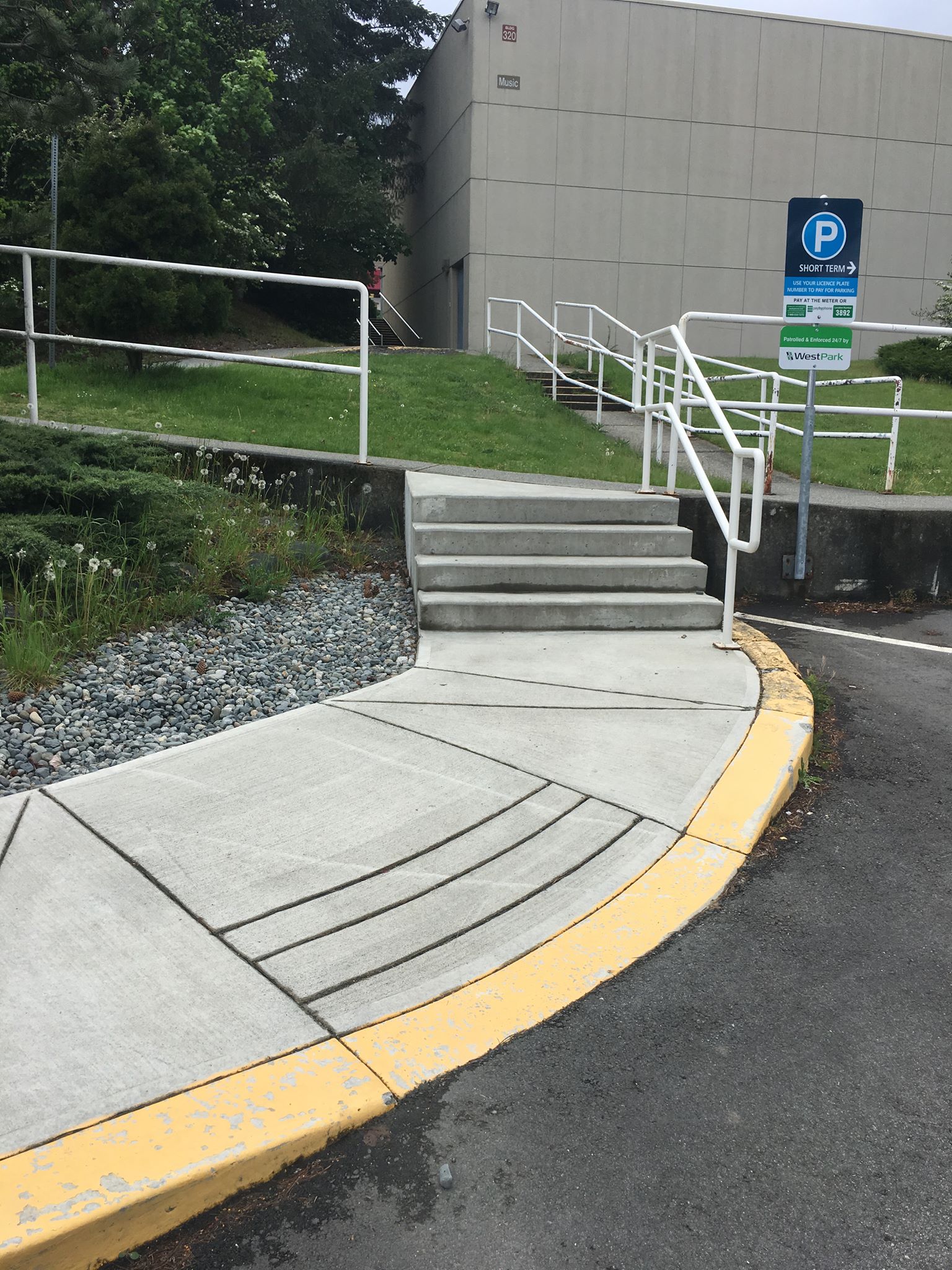 Mobility Accessibility and GIS
Posted 5 years ago
By Zachary Lamoureux in the UCalgary Blog
There is no such thing as a disabled individual – rather, everyone is differently-abled. However, most infrastructure is not equipped to handle everyone’s unique way of being. For example, individuals in wheelchairs, parents pushing strollers, individuals living with auditory or visual impairments, and people handling sports injuries all have specific mobility needs that may or […]
Read More
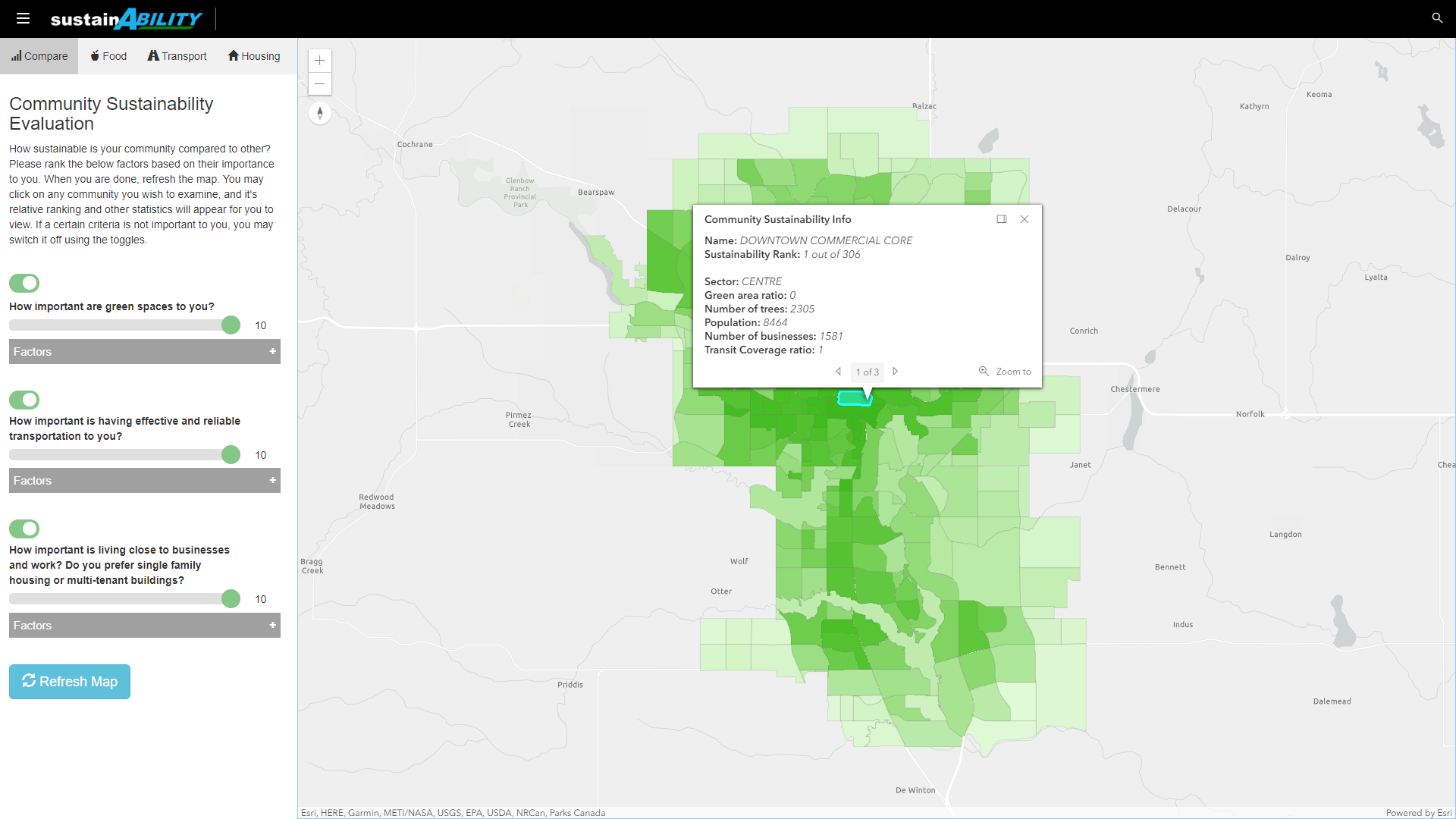 ECCE App Challenge 2019 – sustainABILITY
Posted 5 years ago
By Rodrigo Augusto de Oliveira E Silva in the UCalgary Blog
The App Challenge project that Rodrigo discusses below can be viewed from his team’s profile on the ECCE GitHub website: https://esricanada-ce.github.io/appchallenge/2019/teams/ucalgary/The_Four_Mapsketeers/ Participating in the ECCE App Challenge for the first time is something that I am going to remember for years to come. My team, The Four Mapsketeers, is composed by graduate students in Geomatics […]
Read More
 2018 Esri FedGIS Conference: Student Assistantship Experience
Posted 6 years ago
By Claudia Wong in the UCalgary Blog
Last March, I attended the 2018 Esri Federal GIS Conference in Washington, D.C. as part of Esri’s student assistantship program. The student assistantship program allows students passionate about GIS software or geospatial applications to help assist the Esri staff with the conference logistics, while also attending the conference with attendance fees covered. Over the span […]
Read More
 ArcPy: Convolution Filtering
Posted 6 years ago
By Claudia Wong in the UCalgary Blog
ArcGIS is a powerful tool that supports various industries and sectors. However ArcGIS might not have built-in tools for every problem or an easy workflow to solve a problem. These missing built-in functions range from lacking a concave hull generator (to compute a concave hull from a series of points provided as a feature class) […]
Read More
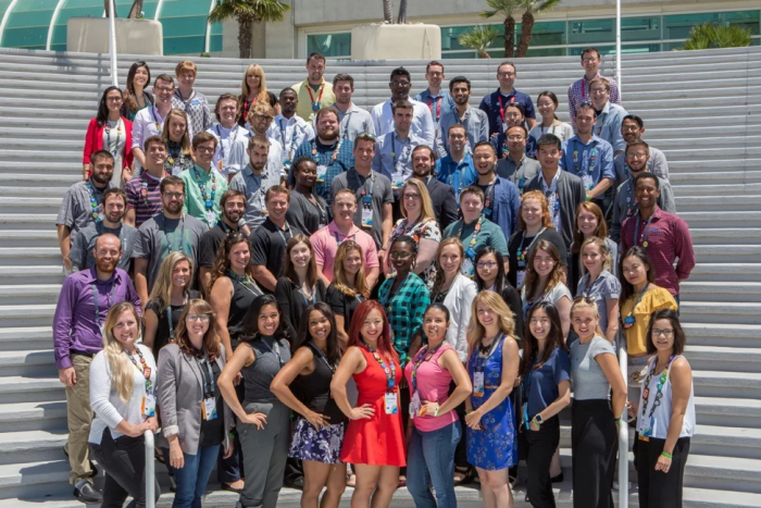 2017 Esri User Conference: A Student Perspective
Posted 7 years ago
By Morgan Moe in the UCalgary Blog
This spotlight article features a guest post from Morgan Moe, at the University of Calgary who recently attended the Esri User Conference in San Diego in July as a volunteer through the Esri Student Assistantship Program. Group photo of the 2017 Esri Student Assistants (Morgan Moe is in the 2nd row, fifth from the right) […]
Read More

