 GIS Summary of SNAP 2019 (Part 4): Multi-Criteria Data Analysis
Posted 5 years ago
By Todd Wong
This is the last article in the 4-part series summarizing work completed by Todd Wong for the Stelida Naxos Archaeological Project (SNAP). For more background and steps leading up to the analysis presented in this article, refer to Part 1, Part 2, and Part 3. Introduction Multicriteria Data Analysis (MCDA) is a collection of formal […]
Read More
 GIS Summary of SNAP 2019 (Part 3): Analyzing Extracted Results
Posted 5 years ago
By Todd Wong
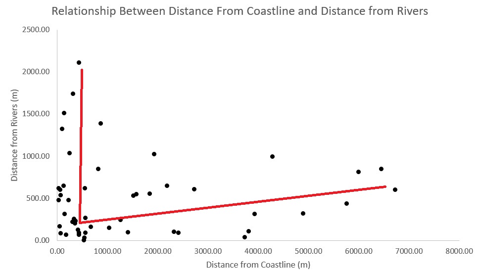
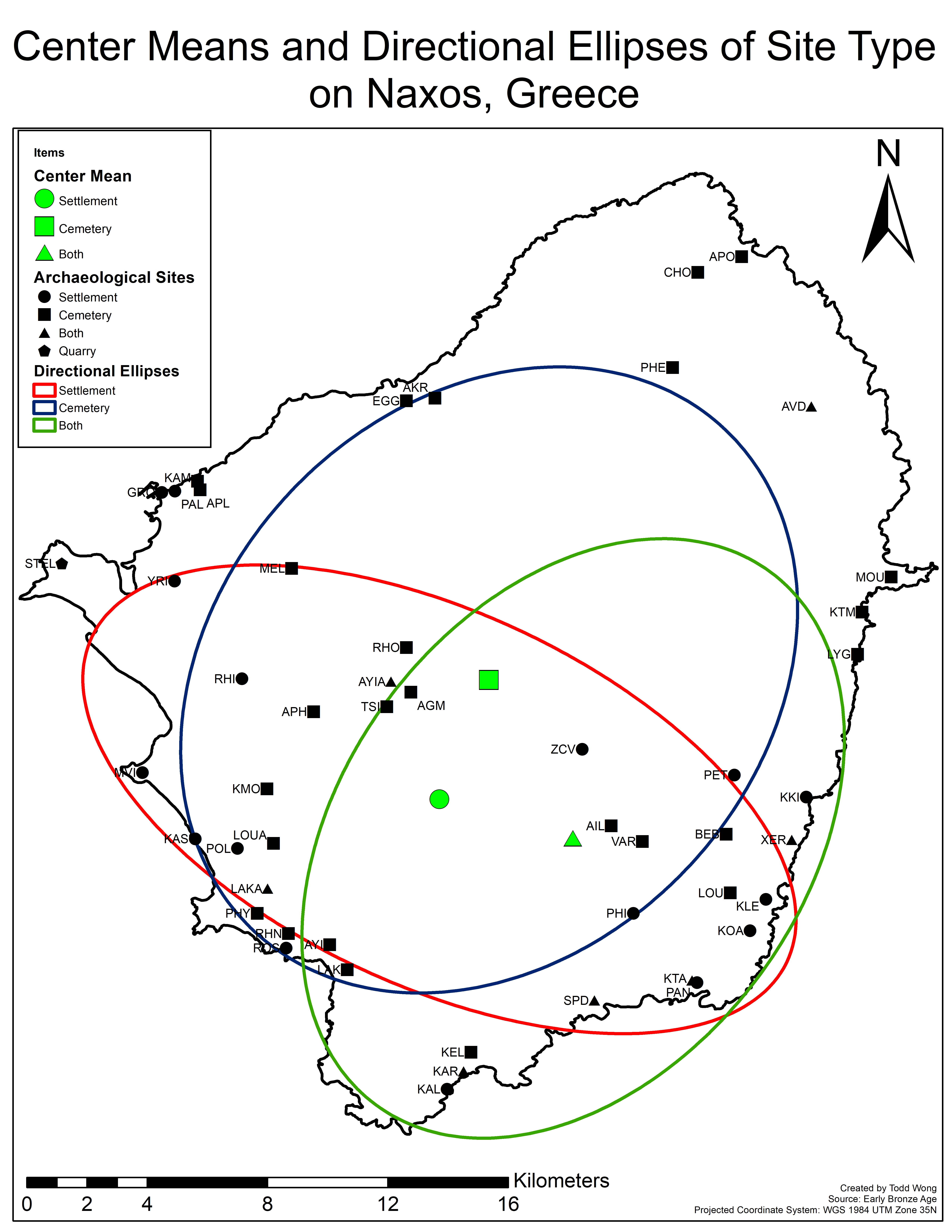
This third part of my four-part series will go through a case study in which we analyze and determine variables generated from several tools. Our case study involves 50 early bronze age sites on Naxos (Figure 1), an island located in the Aegean that is the largest of the Cycladic sister islands with a rich […]
Read More
 GIS Summary of SNAP 2019 (Part 2): Landscape Archaeology Analysis with ModelBuilder and Python
Posted 5 years ago
By Todd Wong
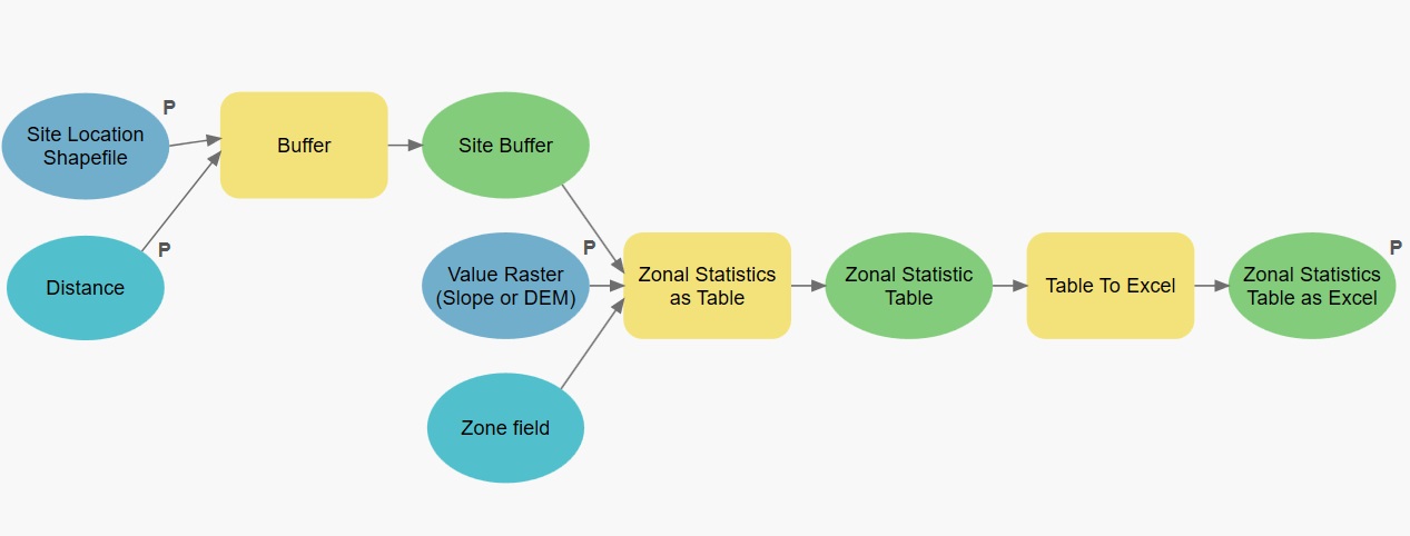
Introduction Over the past few months I have been investigating a new methodology of finding settlement patterns using GIS. The current method of settlement patterns often involves deep research and field studies. In this report I wish to add a new element to settlement pattern analysis. This method can also add more information to landscape […]
Read More
 GIS Summary of SNAP 2019 (Part 1): Null landscape Settlement Patterns using ArcGIS Pro and R
Posted 5 years ago
By Todd Wong
Over the summer, I spent six weeks on the island of Naxos, the largest island belonging to the Cycladic sister islands. From the end of May to the beginning of July I acted as the GIS specialist in a team combining undergrads and grad students from Canada, Greece, and the UK, making up a large […]
Read More
 GIS Summary of SNAP 2019 (Part 4): Multi-Criteria Data Analysis


