 SolVES 3.0: A Software to Map Social Values in Marine Spatial Planning
Posted 7 years ago
By Simon Ryder-Burbidge
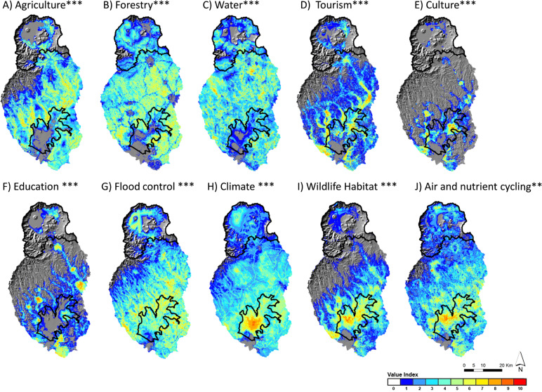
Marine spatial planning (MSP) is now recognized internationally as an important part of marine and coastal management. MSP offers a tool for policymakers to demarcate specific areas of distinct stakeholder values when managing shared-use spaces. This process places public participation, communication, and collaboration at the centre of ocean governance (Nutters & Pinto da Silva, 2012). […]
Read More
 Swooning Over Ocean Maps: Studying Mahia, by the New Zealand Oceanographic Institute
Posted 7 years ago
By Simon Ryder-Burbidge
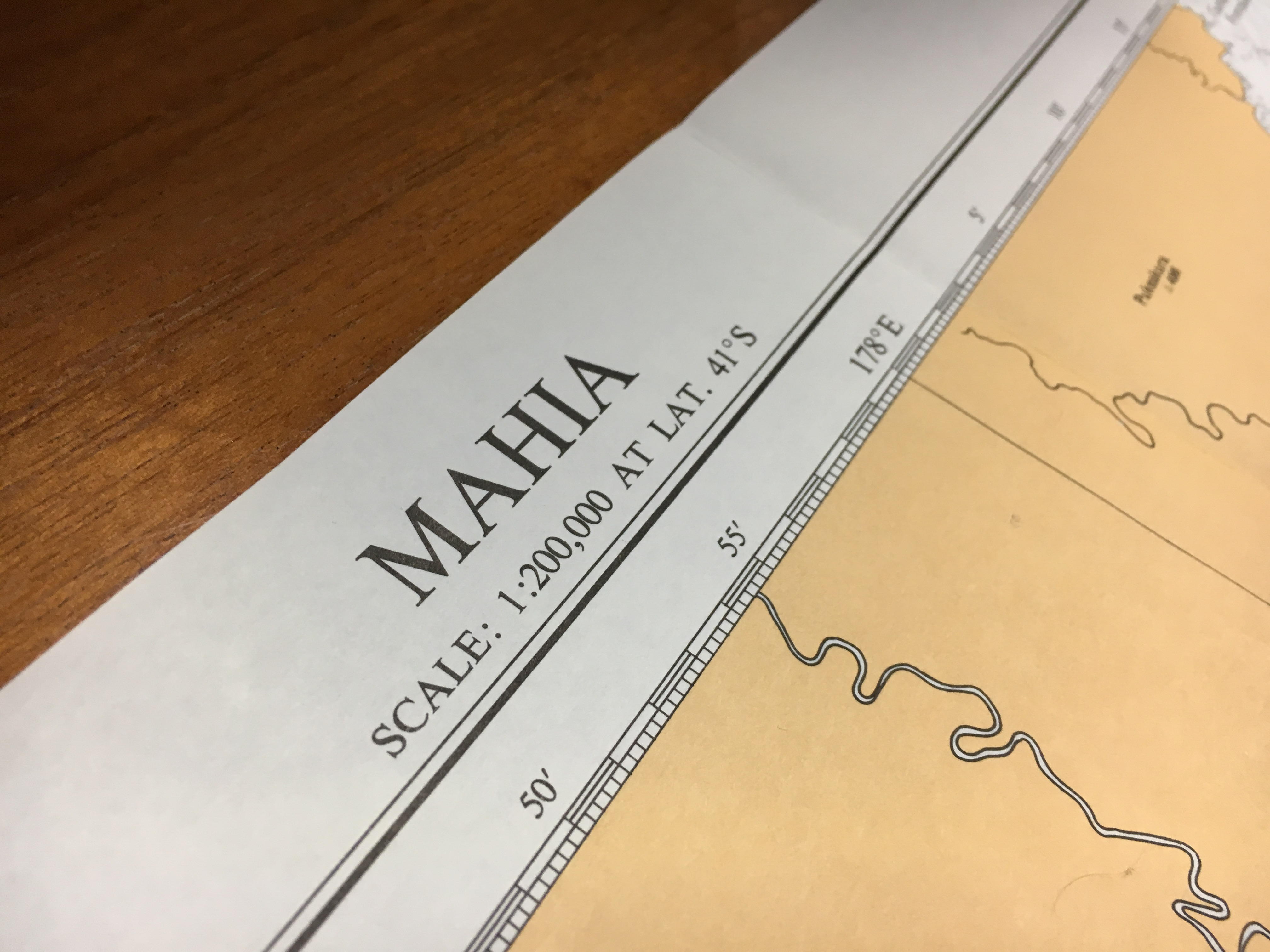
In the 1940s, the New Zealand Oceanographic Institute commissioned a survey to the country’s east. Over the course of the next fifteen years, the Institute mapped the ocean floor, and charted many of the species living in the largely-unknown waters of the South Pacific Ocean surrounding the island nation. Ultimately, the project was responsible […]
Read More
 Marine Pollution in the Halifax Harbour Pt. III: Academics into Action
Posted 8 years ago
By Simon Ryder-Burbidge
A cruise ship enters the Halifax Harbour in the distance. Thus far, in a series of posts, I have chosen to use this space to describe a project that my graduate class with the Marine Affairs Program at Dalhousie University has undertaken to set up a long term data collection project monitoring marine pollution around the […]
Read More
 Marine Pollution in the Halifax Harbour Pt. II: Waste and the City
Posted 8 years ago
By Simon Ryder-Burbidge
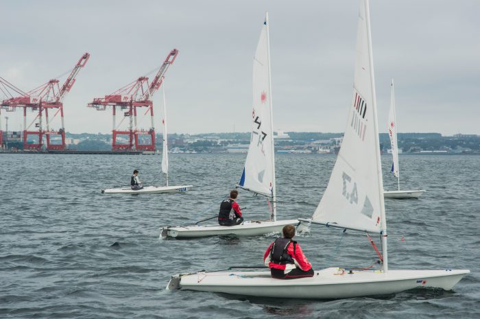
In a previous post, I introduced a project that my marine management class at Dalhousie University has developed in tandem with Nova Scotia’s Clean Foundation to study marine pollution in the Halifax Harbour. Today I want to expand on that introduction and discuss some of the major socio-cultural factors influencing marine waste inputs and patterns […]
Read More
 Marine Pollution and the Halifax Harbour: an Introduction
Posted 8 years ago
By Simon Ryder-Burbidge
A naval submarine coasts towards port in the Halifax Harbour. Simon Ryder-Burbidge, 2016. In Halifax, people are passionate about the ocean. Steeped in sea-faring tradition and leading the nation in seafood export today, Nova Scotia is, in many ways, defined by the highly productive waters of the Northwest Atlantic, and the many inhabitants that share […]
Read More
 SolVES 3.0: A Software to Map Social Values in Marine Spatial Planning


