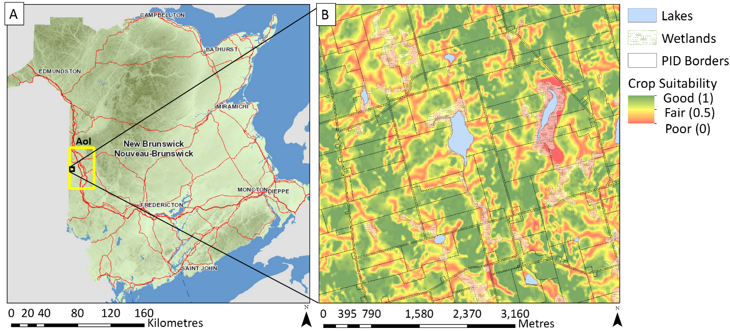
 Farmland Assessment Value and Potato Crop Suitability in Carleton County, New Brunswick
Posted 3 years ago
By Kamille Lemieux
In New Brunswick, farmlands (> 5 ha) are classified as non-residential and are assessed at market value. In contrast, freehold timberlands are assessed at one hundred dollars per hectare, while farm woodlots are assessed at one dollar per hectare [1,2]. This blog addresses the extent to which the assessed market value of farmlands reflects soil […]
Read More
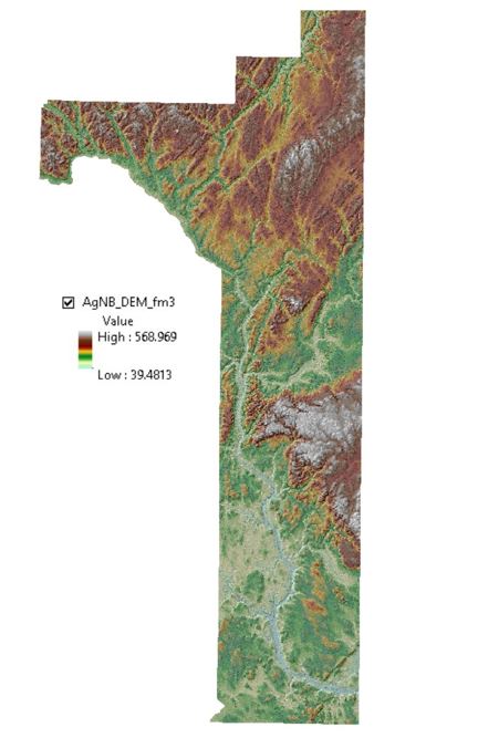 Workflow and Tools Used to Derive a Digital Elevation Model (DEM) of the “Potato Belt” Area in New Brunswick
Posted 3 years ago
By Kamille Lemieux
I am a first-year student working towards a Master’s degree in Forestry at the University of New Brunswick (Fredericton campus). My research project is on LiDAR-based potato crop suitability mapping in the “Potato Belt” area in New Brunswick. The aim of this research is to improve New Brunswick’s food security strategy, especially in terms of expanding farming activities across forested […]
Read More

