
Esri DevSummit 2018 – My Experience Learning to Code in California
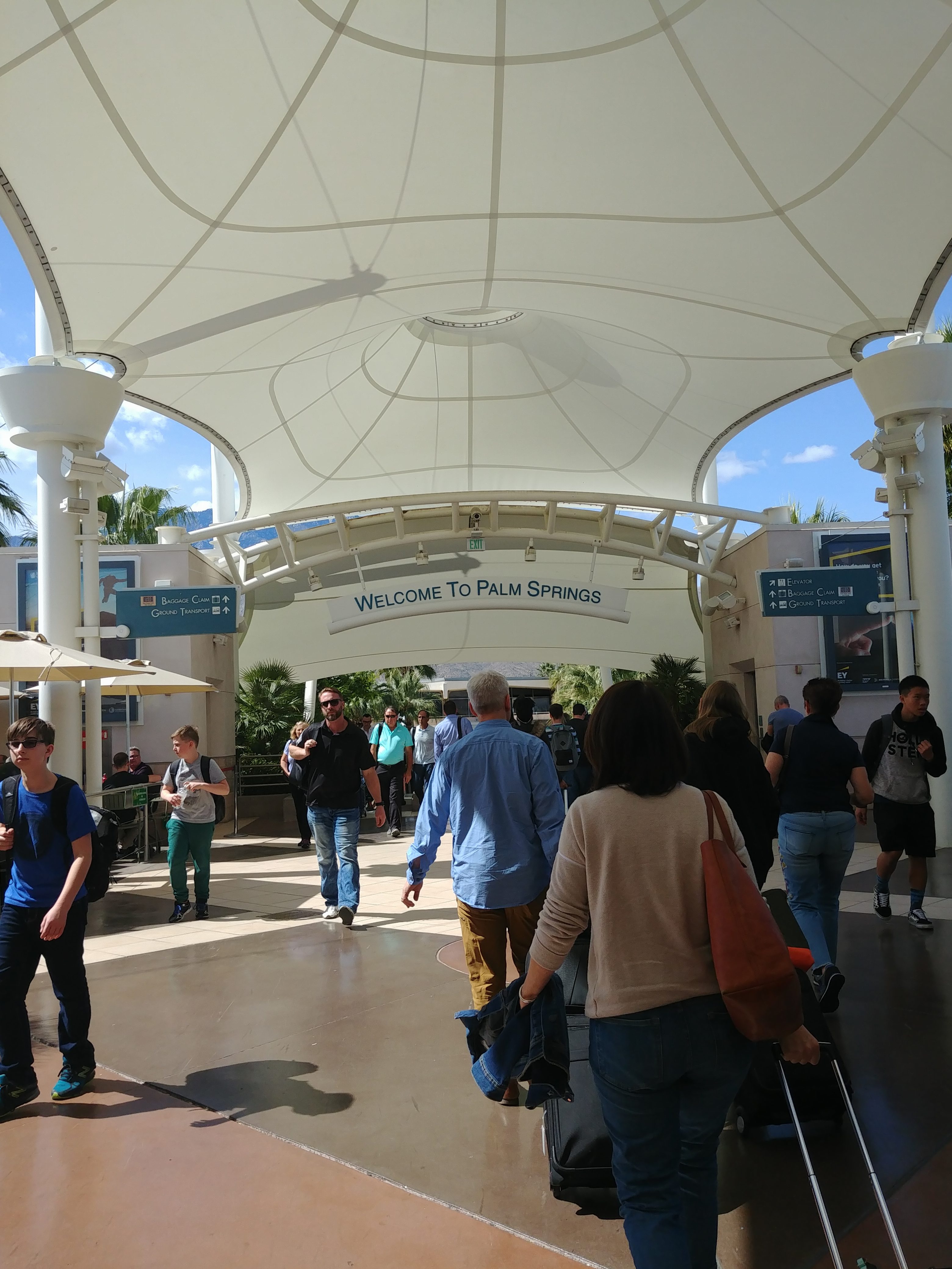
At the beginning of March, I got the opportunity to attend the 2018 Esri Developer’s Summit (DevSummit for short) along with my fellow McMaster Student Associate Tasos Dardas. This conference occurs annually in sunny Palm Springs, California. This is my second time attending, thanks to the ECCE Student Associates program, which provides free registration to 2 lucky students at each participating school.
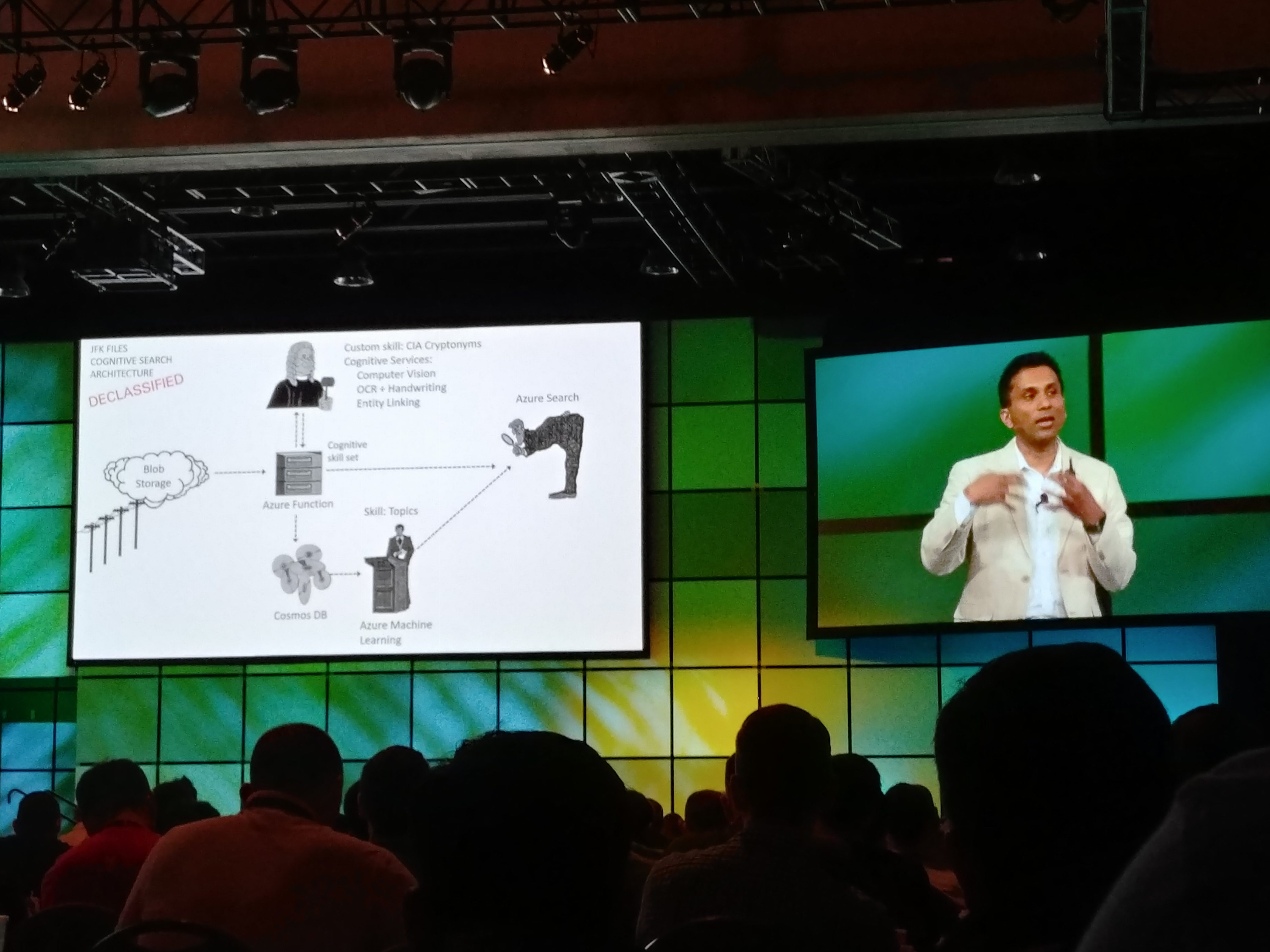
This conference is one of the biggest gatherings of GIS developers in the world, attracting thousands of participants. Last year, I attended with very minimal knowledge of programming. Seeing all of the different technical sessions and meeting all sorts of new people really kick-started a new passion of mine – learning to program! Since then, I have tried self-teaching myself Python and I have completed introductory JavaScript and R courses. I believed I would be ready to dive right into technical sessions this year, but boy was I overconfident! The sheer number of topics and new concepts to learn was mind-boggling. I think my major take-away from this year is how quickly the technology sector moves, meaning that you constantly have to learn new things to keep track of it all. The keynote session this year featured Microsoft’s Corporate VP for Cloud AI Joseph Sirosh. His talk demonstrated a bunch of interesting use cases for Artificial Intelligence. For example, they showed how you can use machine learning to predict high-density traffic accident zones on a road network, and using AI to query thousands of hand-written and recently declassified JFK assassination documents. The plenary session also featured a really cool deep learning example to detect SAM launch sites using satellite imagery.
My favourite session overall was one that showed how to render realistic city views using a combination of Esri CityEngine and Unreal Engine. Being into computer games myself, it was really cool to see how we can take advantage of graphical processing units (which are typically only used for video games) and use it to create extremely detailed real-time rendering of cities.
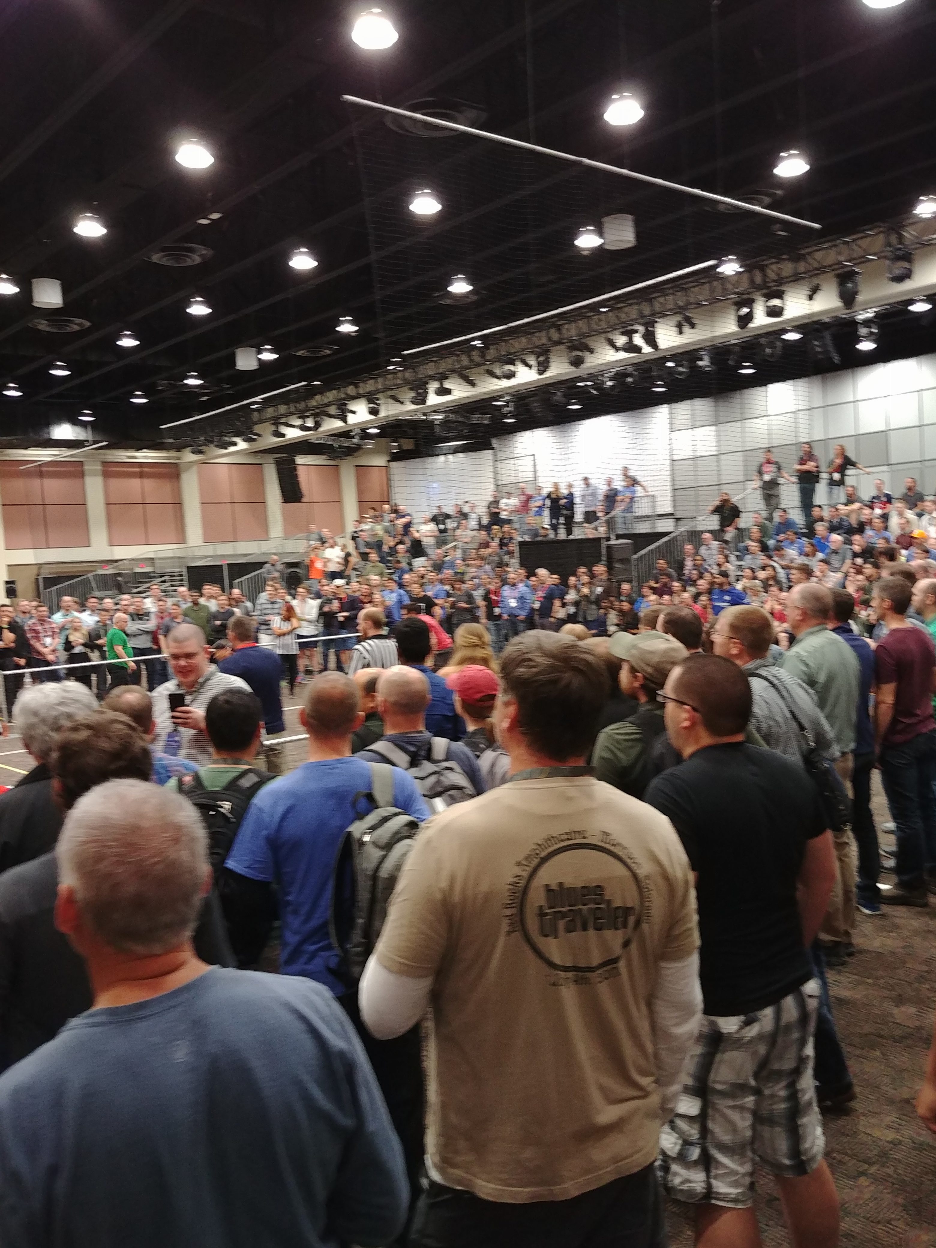
As is tradition, the conference concluded with a dodge ball tournament and carnival. This is the perfect opportunity to unwind, have some drinks, go on rides, and watch some dodge ball after a week of technical sessions. I participated in a match with a few Esri staff and Tasos. We got eliminated in the first round, but our dignity was restored when our opponent actually ended up making it to the semi-finals (they were good!).
I would strongly recommend student associates from other institutions to consider going to this conference next year, as only 3 student associates total were in attendance for this one (2 from McMaster, 1 from COGS – Hi Michelle!). This is an amazing opportunity to network and learn about cutting edge technology, and is by far the best conference I have ever been to.
I want to thank several people for providing accommodations that ultimately made this trip possible. Here are their names in no particular order: Pat DeLuca (McMaster University), Mike Leahy (Esri Canada), Jonathan Van Dusen (Esri Canada), Matt English (Esri Canada), and (of course) my parents!
Thank you for reading. Next time, I am going to make a post about my time participating in the Esri Canada 2018 App Challenge, where I actually put some of the skills I learned at this conference into effect! Stay tuned!
-Matt Brown (MSc. Candidate in Geography, McMaster University, ECCE Student Associate)