
Ortho Mapping Historical Aerial Photos
I have been working on ortho mapping historical aerial photographs as part of my work study programme. The aerial photograph was shot in 1995 and shows the city of Fredericton. An orthophoto is an aerial photograph or satellite image that has undergone geometric correction to make the scale uniform and follows a specific map projection. Since the ortho map photos have been corrected for topographic relief, lens distortion, and camera tilt, they reflect an accurate representation of the Earth’s surface, in contrast to images that are not ortho mapped.
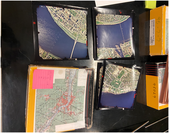
The historical images were taken at a scale of 1:5000 in the summer of 1995. In order to prepare the digital images for ortho mapping, the first step is to scan them. To do this, the Esri-recommended procedures have been followed. The calculated pixel size for the camera is 25 microns, and the focal length is 151410 microns. In ArcGIS Pro, every image has been georeferenced to the New Brunswick local coordinate system. The calculated camera parameters are used to construct an ortho mapping workspace, which is then followed by refining the interior orientation, gathering the ground control points, and performing aerotriangulation. Hybrid satellite imagery from the base map option was utilized to gather the GCPs. All the developments that have occurred between 1995 and now can be seen clearly in the two images.
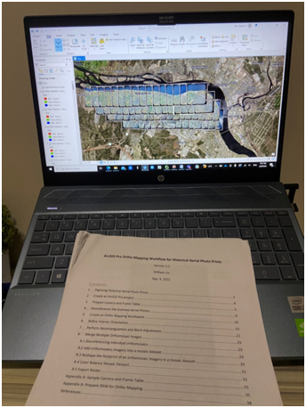
I separated the aerial images into different sets, with each set including between 40 and 50 images. Each set’s orthomosaic images were created, and then all of the orthomosaic were merged and color balanced. I have finished ortho-mapping Fredericton’s downtown area as of this writing. ArcGIS Pro software has been incredibly practical because the Esri website contains both the theoretical and practical instructions needed to complete every operation. I can still clearly recall experiencing some issues with seamline generation, but after visiting the Esri website, where all the necessary information was provided, I was able to resolve the issue.