

 Ortho Mapping Historical Aerial Photos
Posted 1 year ago
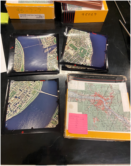
I have been working on ortho mapping historical aerial photographs as part of my work study programme. The aerial photograph was shot in 1995 and shows the city of Fredericton. An orthophoto is an aerial photograph or satellite image that has undergone geometric correction to make the scale uniform and follows a specific map projection. […]