
Impressions from the Toronto User Conference: Karl Chastko
Karl Chastko is a student from the School of Geography and Earth Sciences at McMaster University. On October 14th, he along with several of his McMaster colleagues were able to attend the Esri Canada Toronto User Conference. Karl discusses how meeting and learning from like-minded GIS people helped him get the most out of his first Esri User Conference experience.
This past October I was fortunate enough to attend my first Esri Canada User Conference in Toronto. This opportunity was a great way to find out firsthand what other GIS users and analysts are working on in the field. I also really enjoyed seeing the demos of new Esri software such as ArcGIS Pro and smart mapping.
My favorite part of the day was definitely the lunch, and not just because of the food. It’s not every day that you find yourself at a table surrounded by GIS professionals, from varying backgrounds and at different stages in their careers. Hearing their stories of how GIS has taken them on different paths and how they apply it in their workplace has really helped me form a better idea of what kinds of skills I would like to have to help position myself for success upon graduation.
The demo workshops in the afternoon were another highlight of the day. These workshops helped me to see completely new areas of Esri software and GIS technology that I had not yet considered taking an interest in prior to the conference. A list of skills which I am now looking to develop include Web app development and Esri Story Mapping.
After seeing the demos of Web AppBuilder Developer Edition and how it is being applied by different organizations, I cannot wait to attend the Esri Canada GIS in Education and Research Conference on November 30th. I was surprised at how user friendly the Web AppBuilder is and was really shocked at how much potential this tool has to help shape the future of Web GIS. Esri Story Maps were my second favorite discovery of the day. A big part of why I love GIS is that it uses visual maps to convey a story – a story map takes this premise to whole new level. Again I was amazed at how quickly you can take some basic spatial data and create a much more powerful and moving story from them with the help of a story map. I am excited to start working on these skills and start applying them to GIS projects in the future.
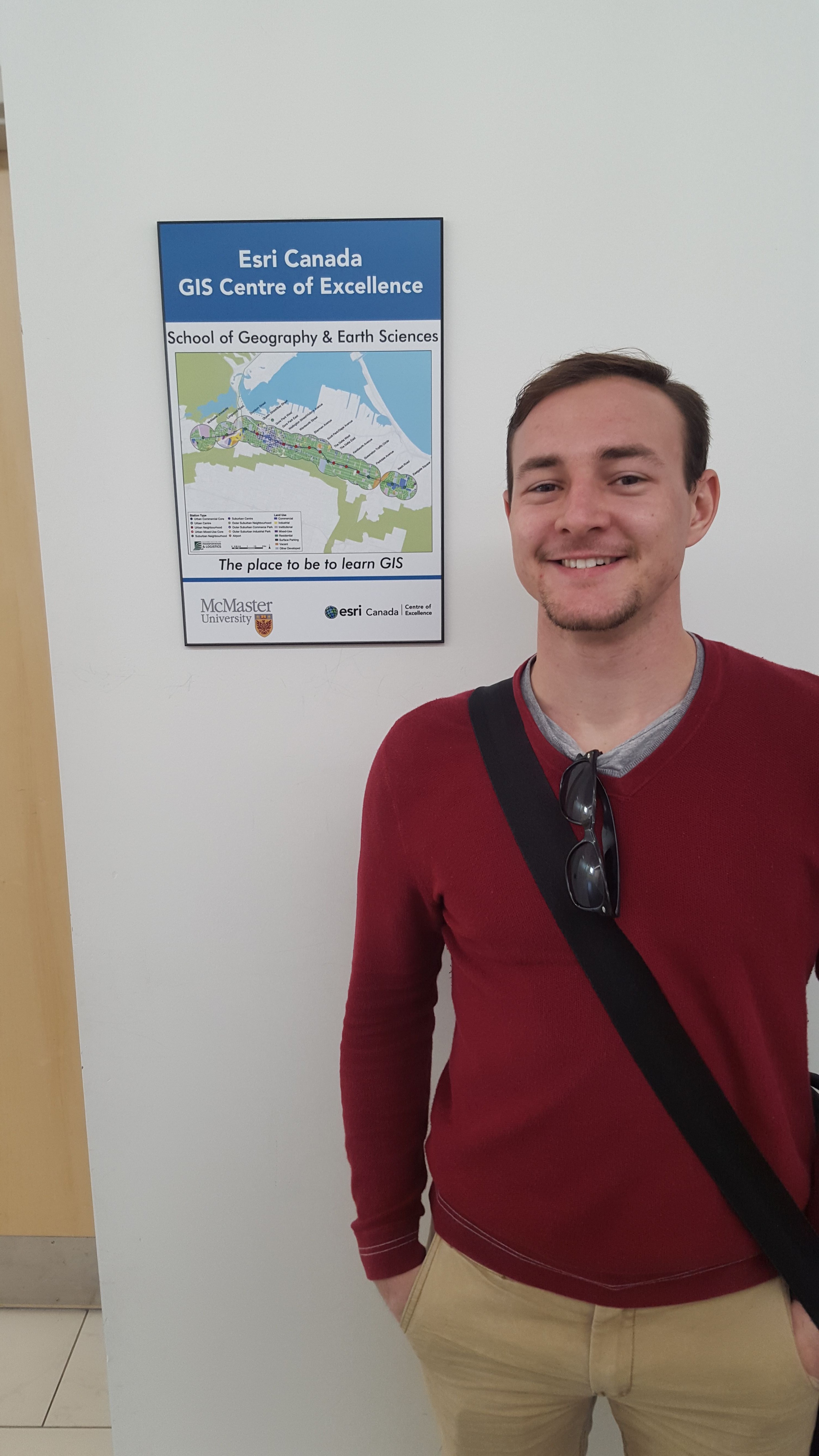
What really made this day special to me was seeing how much support I have from Esri Canada as a student at McMaster University. The School of Geography and Earth Sciences at McMaster is one of 26 worldwide Esri Development Centres and one of seven Esri Canada Centres of Excellence. As a student at McMaster, I am enrolled in one of the highest quality GIS programs in Canada and have access to other opportunities such as the forthcoming GIS in Education and Research Conference. Esri Canada has a vested interest in McMaster and by extension, the students at McMaster.
This was a great conference and I would highly recommend it to anyone interested in GIS and its applications.