
GIS Day at McMaster University: Perspectives from an ECCE Student Associate
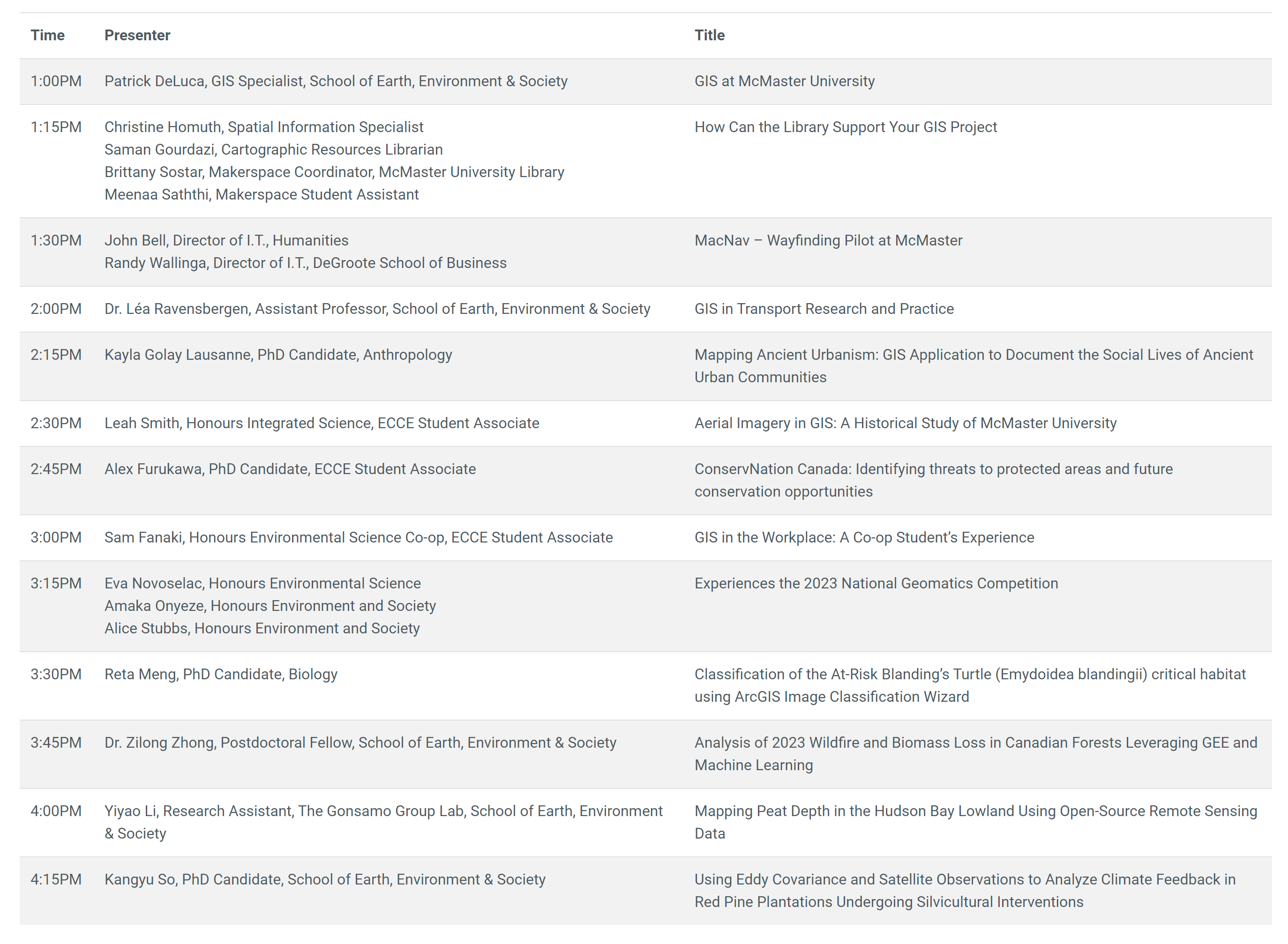
Every year around GIS Day, McMaster University holds an exciting series of lighting talks and demonstrations from members of the University community using GIS. This year, there were 12 speakers who spoke on topics, whose level of expertise ranged from co-op undergraduate students to PhD candidates to Research Assistants to Postdoctoral Fellows. This post aims to provide a few highlights to some of the presentations which took place on November 15th, 2023, from the perspective of an ECCE student associate.
To begin, Patrick DeLuca, the GIS Specialist at McMaster University, gives an overview of what GIS is and how relevant it is as a career as a growing market, which projects to be worth $41.3 billion USD by 2032. At McMaster, our university level courses in GIS promote a regular examination of industry wants/needs, with a focus on teaching fundamentals which are used in the current job market. Our instructors curate these courses every year to be as relevant as possible for students looking to use GIS in the workplace, so that we as students can be successful.
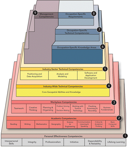
Professors at McMaster use the Geospatial Competency Model as a guide for putting together the GIS courses offered at McMaster. Students at McMaster have been successful in various contests related to GIS, including the annual ECCE web app challenge, ArcGIS StoryMaps challenge, and national geomatics competitions.
Next up, Christine Homuth, Spatial Information Specialist, Saman Gourdazi, Cartographic Resources Librarian, Brittany Sostar, Makerspace Coordinator, and Meenaa Saththi, a Makerspace Student Assistant, gave a presentation about how McMaster’s library resources can support GIS projects for student and faculty. The Makerspace is a learning space at the Thode library at McMaster where students and faculty can make use of various creative equipment such as 3D Printers and Laser Cutters/Engravers to bring projects to life. The project that they had prepared for the day was the creation of a physical layered map using multiple stacked materials to visualize the Hamilton/Burlington Bay area. The result can be seen here:
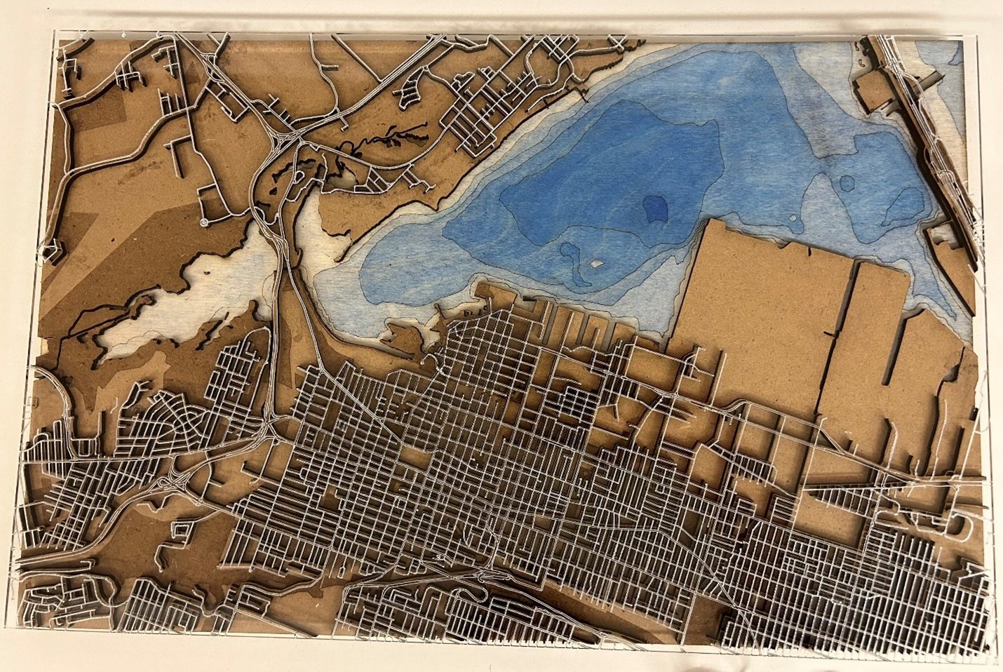
The workflow to obtain the result was as follows:
- Compiled GIS data.
- Converted GIS data to .svg files.
- .svg files were edited in lnkscape to meet engraving.
- Used laser to engrave .svg files on to our physical materials.
- Physical materials were compiled together and painted.
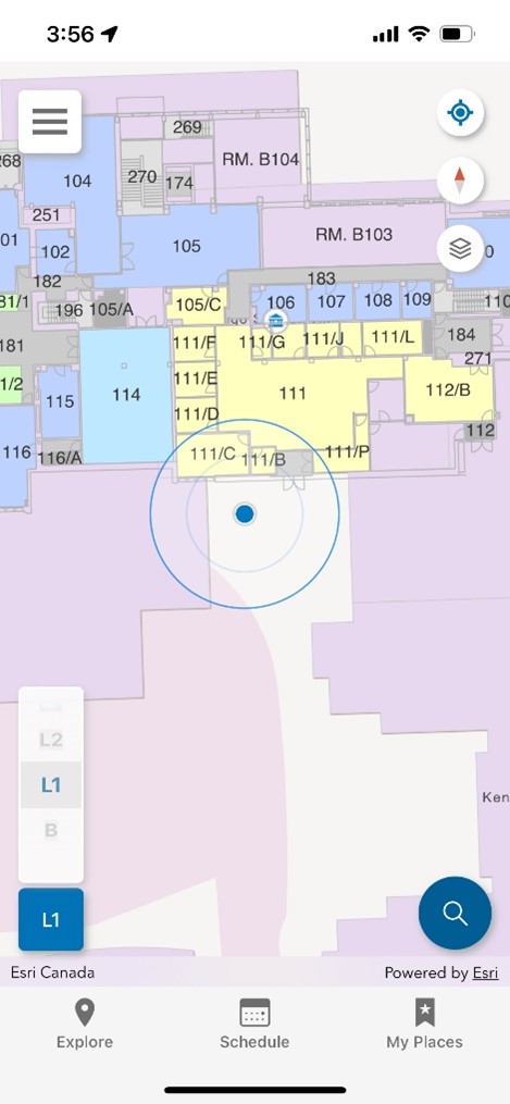
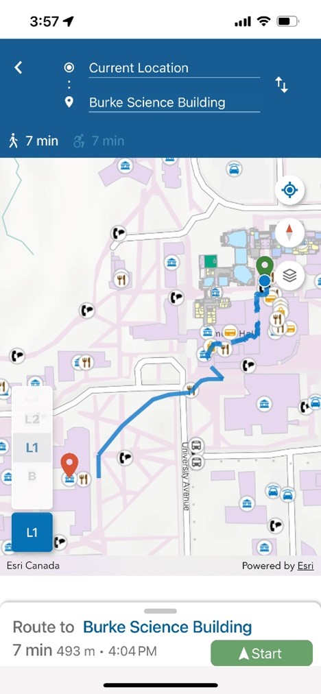
John Bell, the Director of I.T., Humanities, and Randy Wallinga, the Director of I.T., DeGroote School of Business, then gave an overview and demonstration of MacNav, a wayfinding pilot at McMaster. The project encompasses two themes, classroom automation and digital wayfinding. The classroom automation component sets the goal of fully automating classrooms to be ready based on the schedule provided by the registrar, including lighting, HVAC, AV systems, and security locks. The digital wayfinding component is a way for anyone to use a smartphone to navigate to any location on campus. The MacNav application utilizes ArcGIS Indoors, and ArcGIS Enterprise on the backend. External or outdoor location determination uses the GPS network, but internal or underground location determination is determined using BLE beacons throughout the building. The app includes points of interest which are searchable, as well as accessible route options and feedback for giving a better alternative route which is used to improve the routing used in the app.
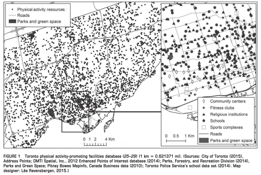
Dr. Léa Ravensbergen, an Assistant Professor, School of Earth, Environment & Society, provided a presentation about how GIS was used in her research on transportation geography. Dr. Ravensbergen’s research involved two different studies:
- The link between food deserts and activity spaces.
- Food deserts are defined as limited access to affordable and nutritious food.
- Activity spaces are defined as a child’s day-to-day activities in terms of where they are going, what activities they are doing, and how they are getting there.
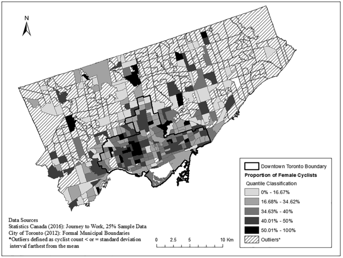
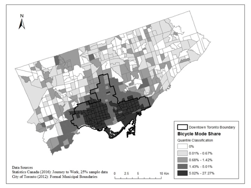
- Cycling patterns in cities.
Providing maps to display the findings, she concluded that:
- Nearly two times as many fast-food outlets were in low-income children’s activity spaces.
- There was a similar average number of supermarkets irrespective of income.
- Higher income families have a higher number of physical activity facilities were accessible.
- There is a large gender gap in cycling that exists particularly in North America, which extends to smaller scales such as within cities, where 1/3 of cyclists in Toronto identify as women.
- Many people state that downtown Toronto is where they do not want to cycle, however that is where most of the cyclists are!
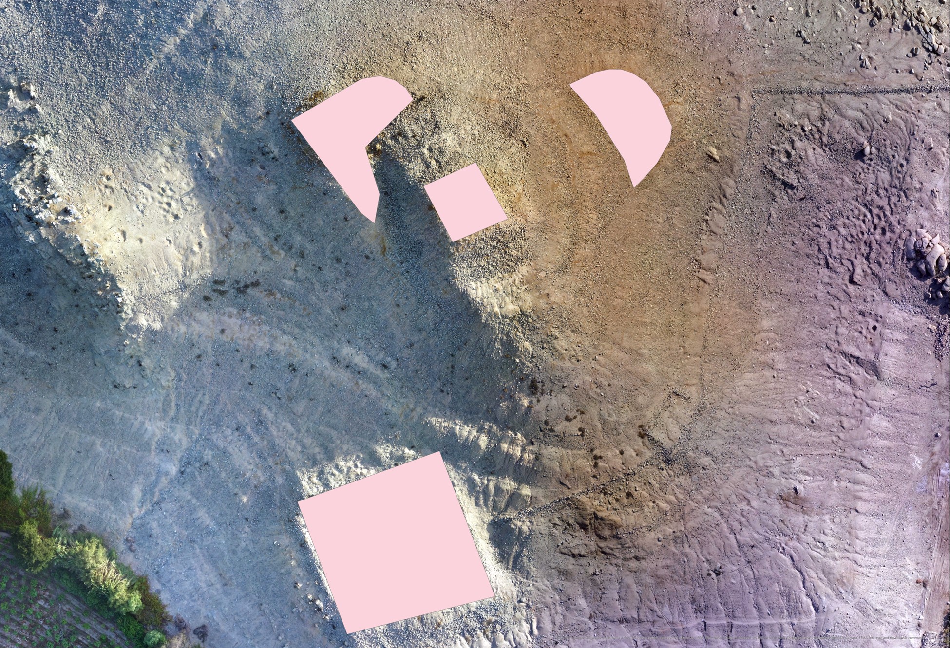
Kayla Golay Lausanne, an anthropology Ph.D. candidate, demonstrated how she used GIS applications to document the social lives of ancient urban communities. The study area consisted of the Cerro San Isidro, Nepeña Valley in Peru. The communities present here are estimated to have existed from 800 BCE to 1500 CE, or over 2300 years. Kayla used two GIS applications to understand two social aspects of these communities, what people saw and how people moved, using view-shed analysis and least-cost analysis, respectively.
The view-shed analysis is useful for understanding the regions in which their ancestors came from, piecing together any power dynamics that may have existed during this period, as well as the cultural significance of landscape markers.
The least-cost analysis was used to dissect any social hierarchy, resource allocation, or division of labour that may have existed.
Some of the ever-evolving findings that were presented includes:
- The upper community was likely associated with ritual and elite identity.
- Had the greatest view towards the water source.
- Likely in power, many high-value artifacts were found here.
- The western terrace was likely associated with late occupation and ritual identity.
- Blocked from the highlands, cut off from water source, bad war positioning.
- The eastern community was likely associated with economic activity.
- Had the greatest access to the water and nearby quarry.
- Likely responsible for distributing tools and resources.
- Not enough information was gathered to make any assumptions about the northern terrace.
A few of McMaster’s current ECCE students gave presentations at the event:
- Alex Furukawa presented his 2023 ECCE App Challenge entry, which finished in third place. You can read Alex’s blog post here: https://ecce.esri.ca/blog/2023/09/21/2023-app-challenge-conservnation-canada/
- Leah Smith presented her work using aerial imagery to explore the evolution of McMaster’s campus from its move to Hamilton in the 1930s to present. Leah is working on a forthcoming blog for this site, stay tuned.
- Sam Fanaki described for students what his experience was as a co-op student as a GIS Intern, working at Colliers over an 8-month period.
One other presentation from students (although not ECCE Associates) highlighted three student’s experiences at the 2023 National Geomatics Competition. The day then finished with a trio of presentations related to remote sensing, where the authors used a variety of software such as ArcGIS Pro, ENVI and Google Earth Engine.
Overall, GIS Day at McMaster University provides an interesting insight into what our students and faculty are working on in terms of GIS-related projects. The presentations covered a wide range of topics and showcased the kinds of GIS-enabled work across different disciplines on campus. The event was interesting for those not familiar with GIS as well, and provided an incredible learning experience for all students who attended.