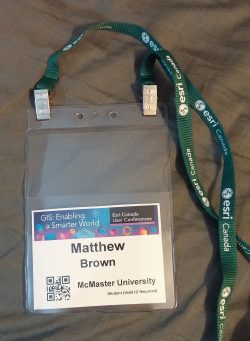
My Experience at the Esri Canada User Conference – Toronto
Yesterday I attended the Esri Canada User Conference held at The Toronto Congress Centre. The first event was the plenary session where attendees sat and listened to demonstrations of various functionalities within Esri software. These demonstrations were very interesting – one of them showed how to make an app that users could report coyote sightings, and another showed off the Space Time Cube tool in ArcGIS Pro, which lets you create 4D data essentially. It was exciting to see the sheer number of people who attended this conference. I have never seen so many GIS people in one room before. After the plenary session, there was a lunch break where I met some other students who were attending. After that, I watched several presentations from various university representatives that demonstrated research they were doing using GIS. One of the presentations was particularly interesting to me because it showcased a different approach to creating an online historical GIS application. One of my volunteering endeavors right now is focused on making one of these apps for the McMaster map library, so it was cool to see how other people are doing it. The event concluded with everyone having some beers in the main conference area. This was a good opportunity to talk to different people in the GIS industry. Overall, I had an excellent time and I would recommend anyone interested in GIS to attend!
-Matt

