Presenting at the Esri GIS in Education and Research Conference
So far, my masters program has consisted of me learning to do a lot of things I haven’t done before. One of the latest firsts was the chance to present some of my masters research at the Esri Canada GIS in Education and Research Conference at the University of Toronto. While I was preparing, I had a real lesson from my supervisor on how to focus on the points that were most relevant, and how to concisely make them in a few sentences. This turned out to be the key to making sure I stayed within the time limit, and helped me better focus on the things I’d learned doing my research. I was definitely a little nervous beforehand having never given a conference presentation before, but after a few revisions and practice runs, fortunately my presentation went well at the conference.
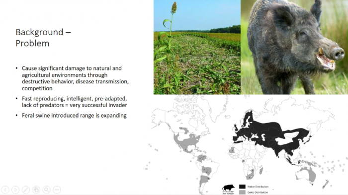
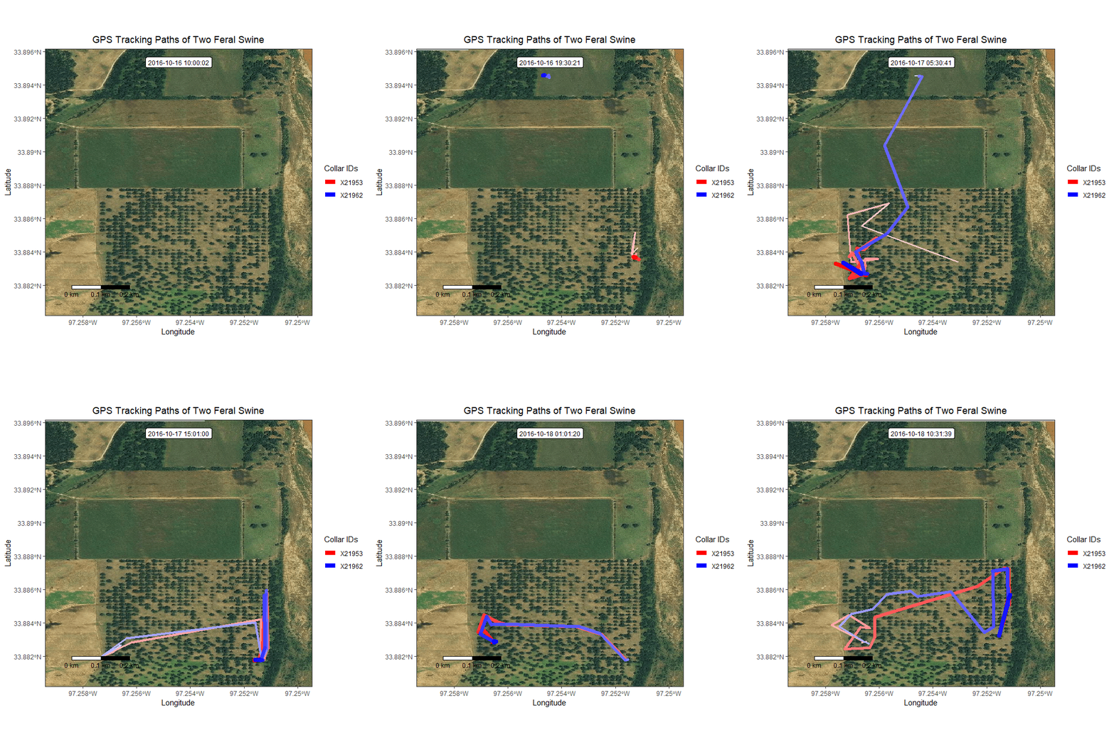
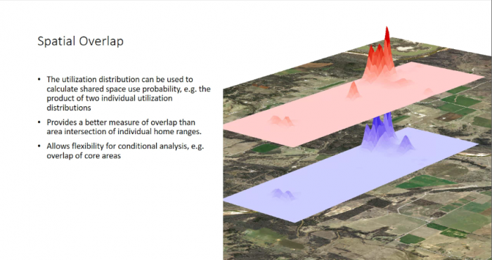
My presentation was on estimating the home ranges of feral swine using GPS tracking:
It was great to see presentations from a wide variety of students and professionals at the conference. In some other masters and Ph.D. students’ presentations I was able to see what my research might look like when I am further along, and the type of work and analysis that goes into it. It was even nice to see my own lab/department-mates’ work in a different light through their own presentations. It was both inspiring and comforting to see others further along than me present their work at the conference.
Finally, at the conference I had the chance to meet some new people, but I also had the chance to see some friends who now work at Esri and a professor I had previously from Fleming College. It was a great chance to catch up, and see my now employed former colleagues in action!
So the conference helped me with regards to my own research, but as always it was the people in attendance, and connecting and reconnecting with my peers and professionals in my field, that made the conference all the more enjoyable.


