
My Top Five Takeaways from the Halifax User Conference
When I heard that ECCE student associates could attend the local Esri Canada User Conference (UC), I jumped at the opportunity. After all, my interest in applying GIS to topics in wildlife ecology and management is what drew me back to school to pursue a graduate degree. I can’t help but find GIS technologies exciting.
Through happy circumstances, the project I’ve begun this fall as part of my graduate program yielded some preliminary data over the summer that I have been able to begin working with. As a result, I had enough to consider presenting at the UC. At the advice of one of UNB’s ECCE advisors, I took the leap and found myself on the schedule to present during the conference’s Research and High Education Showcase. This meant that I was able to see the conference through multiple perspectives – as a student, a first-time attendee, and a presenter. Overall, the experience was inspiring, and I walked away with five top takeaways I would eagerly share with other students.
GIS has more applications (and a wider user base) than I realized
The conference opened with a plenary session from Esri Canada’s President, Alex Miller, who proposed that work in GIS is creating a global nervous system. Geospatial data comes in, gets shared, and is transformed into solutions for the real world. He pointed out examples from across Canada where Esri products are being used to plan urban infrastructure, leverage community engagement in reporting tools, and provide access to current spatial information via the Living Atlas. I was particularly intrigued by new applications that create digital models of cities for planning or even indoor mapping. Coming from a science background, I hadn’t really considered how impactful GIS technologies could be in fields like urban planning or logistics, or how it could be applied to reaching out to the wider community.
Esri StoryMaps are a powerful communication tool
On the topic of community outreach, Esri StoryMaps was a new-to-me tool that is used to create a webpage-like resource with embedded maps, applications, videos, and more. These can be used to communicate with audiences about work and projects being done or to help capture community input. As citizen science is a growing source of data, especially for ecological work, having one more potential tool for encouraging the general public to share their observations and get involved in science is a useful thing. Maps are visually powerful and having a page that can collect someone’s data and immediately add it to the map is great way to build engagement.
Presenting at an Esri Canada UC was a positive experience
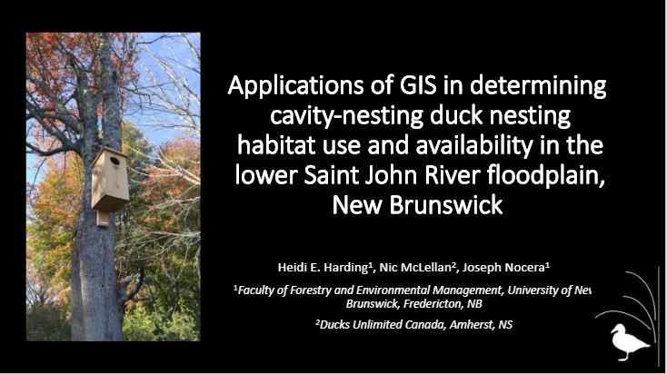
I’m fairly new to presenting at conferences, so I’ve been trying to take advantage of smaller venues to get some practice in. As a graduate student, my presentation was part of the GIS in Higher Education and Research showcase. I had 15 minutes to fill and 5 minutes for questions. It was a lightly attended session, mostly including other presenters in the showcase, but it gave me a chance to see some of the things other (mostly student) researchers were doing with GIS technologies. It was much less intimidating than some places I’ve had to speak, and the audiovisual set up was flawless. Plus, I got to learn about work being done on anacondas in the Amazon rainforest and forest characterization being made easier with ArcGIS Collector – a tool that I might be able to use in my own work.
Web AppBuilder for ArcGIS is less intimidating than I thought
As an ECCE Student Associate, I know the App Challenge is something I will be expected to participate in – but I’ve never created a GIS application before. Erica Corbett’s presentation on “Data to Apps in 45 minutes or less” did a lot to ease my mind. In under 45 minutes, Erica had walked us through all the steps to upload our data, choose an app tool, and create a basic application. While I feverishly scribbled down every step, I walked away from the session feeling confident that the App Challenge will be less difficult and more fun than I’d previously thought.
There are loads of additional resources available, even after the conference
Throughout the conference, Esri Canada was eager to collect feedback from attendees. There was even a post-conference survey asking what I’d like to learn more about. To my surprise, I received an email reply from an Esri Canada staff member just a few hours after submitting my survey, packed full of links and resources that would help me learn more about the things I’d identified.
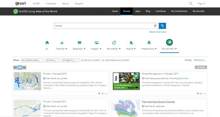
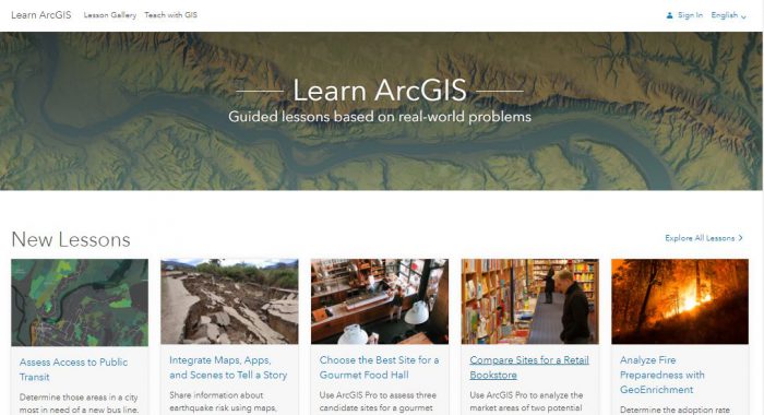
Since returning home, I’ve already found the Living Atlas to be a wonderful resource, offering up GIS layers and applications immediately applicable to my research. Esri’s online training, real-world lessons, and development tutorials also offer a number of ways for me to continue to grow my skills without any extra costs on my part.
Overall, my Esri Canada User Conference experience was fantastic. I’ve got a list of new things to try and am already looking forward to next year’s conference. I definitely recommend attending (especially if you’re an ECCE student and can attend for free!).