Spencer Elford – ECCE Student Associate at McMaster
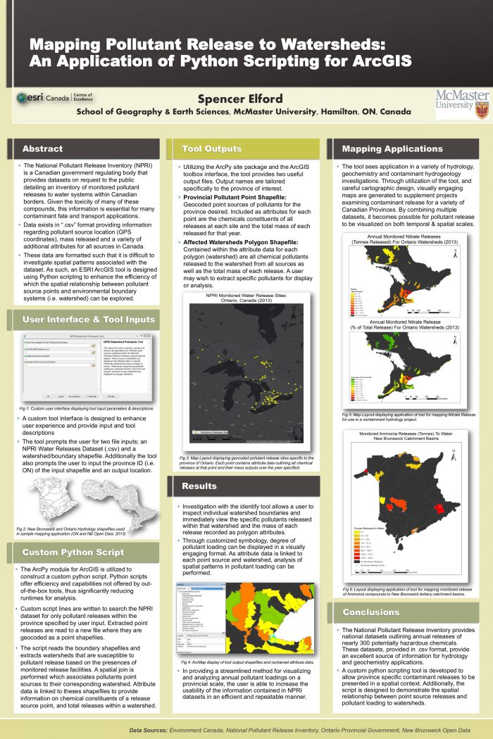
Spencer Elford is one of the top student associates participating in the ECCE program at McMaster University. Recently, he submitted a winning entry in the Esri Global Content challenge. For this spotlight article, Spencer has given us an overview of his academic background and his experience as an ECCE student associate at McMaster over the past two years…

I am currently completing my final year at McMaster in the Earth and Environmental Sciences program. During my time at Mac, I have been fortunate to develop core skills in the field of geoscience. I completed a senior thesis in Mine Geochemistry constraining sulfur cycles in mine systems and my course experience has provided me the foundational skill set required to obtain my professional geoscientist certification.
My true passion is in GIS, where I am obtaining a minor. My experience with GIS began with second year introductory course I enrolled in on a whim. I’ve always been fascinated with maps and cartography and this seemed like a real opportunity to pursue these interests. I quickly grew a strong passion for GIS and have since taken every opportunity to learn more. To date, I have taken nearly every single undergraduate GIS course McMaster offers and I hope to continue learning well into the future.
I realized early on that one can use GIS as a tool to provide invaluable support to a variety of other fields. I began exposing myself to disciplines outside my typical program offerings to see how GIS can be applied to other areas. I conducted my first internship with a local charity designing educational map products to promote watershed conservancy. I then joined the McMaster Ancient DNA Lab group where I worked with a physical anthropologist to use iso-forensics and GIS to identify the remains of unknown war of 1812 soldiers. This experience was particularly interesting as I was given a window into an incredibly niche area of research and gained firsthand experience in utilizing GIS as a solution to complex spatial problems. Some of my work with the group has been presented at the Canadian Association for Physical Anthropology Conference and we currently have a paper in review with the Journal of Archeological Science: Reports.
The GIS education I have received at Mac has not only brought me success in in the classroom but also in my extracurricular pursuits. Last year, I competed in the Esri Web App challenge with my fellow student associates Karl Chastko and Anastassios Dardas to build a web app promoting urban agriculture, where we finished third nationwide. This experience was especially valuable as it demonstrated for me the symbiotic relationship programming has with GIS analysis and it drove me to develop my programming skills further. This drive is ultimately what lead me to attending the Esri Developers Summit in Palm Springs California last March where I saw myself fully immersed in the world of GIS programming and development. Returning, I enrolled in a special topics in GIS course, taught by Pat DeLuca where I learned all about using ArcGIS online to create useful and visually appealing web and mobile apps. It was in this course that I gained the skills I needed to enter the Esri Global Content Challenge, where I was awarded third place overall in the population category.
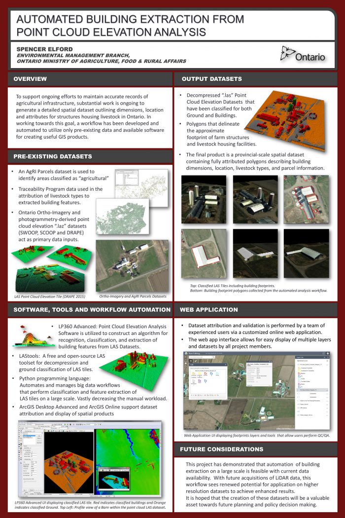
GIS has been a key theme in my extracurricular and work history. Currently, I am using some of my combined GIS and geoscience skills in the Imperial Barrel Award Petroleum Exploration Program, where teams from around the world compete in an 8-week challenge to explore and develop petroleum plays. My educational background secured me a summer position with the Ministry of Agriculture, Food and Rural Affairs where I was given full control on a project centered on developing a method for extracting barn dimensions from both LiDAR and photogrammetry-derived point cloud datasets. I developed a python script based workflow to identify and extract barn rooflines from these datasets and the workflow I developed is currently being used to generate a provincial scale dataset of farm infrastructure for use in future analysis. More recently, I have begun working with an epidemiologist on mapping respiratory health patterns across Ontario, where I hope to put my analytical skills to work in the field of medical geography.
GIS at McMaster has provided me an opportunity to explore a career in a field I am truly passionate for. I am always exploring new opportunities to build my skills or expose myself to a new way of approaching spatial problems. I am truly grateful for the quality education McMaster has provided me and I can’t wait to see where it takes me in the future.


