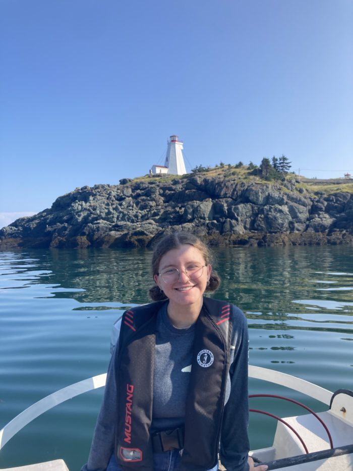
About Me: Mapping the Seas
Hello! My name is Roxy Dorris and I am honoured to be one of the new student associates for Esri Canada’s GIS Centres of Excellence representing Dalhousie University. I am currently finishing my fifth year at Dal where I am completing a Bachelor of Science in Marine Biology, with a minor in Geography and a certificate in Geographic Information Science (GIS).
I didn’t enter university with the intention of focusing on GIS but fell in love with it along the way. My first experience with GIS was during a summer field class called Spatial Information & GIS in Ecology. I originally registered for the class since I needed an extra summer course to fit into my schedule. During the class I learned the basics of how to use GIS and learned of the possibilities it could be used for. I had a lot of fun learning how to make maps and I realized I wanted to continue to learn about GIS.
Currently I am working as a student assistant at the Dalhousie GIS Centre, where I can help my peers with troubleshooting GIS and solving problems that arise with their own projects. It has been a rewarding experience so far as I’ve been able to help my fellow students while reinforcing my own skills.
In the future, I am hoping to combine my interests of marine biology and geography by specializing in a field such as seafloor mapping or acoustic telemetry. Seafloor mapping uses multibeam sonar systems to create bathymetric maps to help analyze oceanographic patterns and benthic ecology. Meanwhile, acoustic telemetry uses transmitters and receivers to study the spatial ecology of marine species. In either of these fields I could combine my love of the ocean with my love of GIS.
I am excited to meet my fellow student associates and learn from each other this year!
Thank you for reading!

