
Discover ‘Machine Learning’ – without acquiring an Engineering Degree
If you haven’t heard of Machine Learning or Kaggle, you’re going to want to.
Allow me to introduce you to the future of GIS predictive modelling.
Machine learning explores the study and construction of algorithms that can learn from data and make data-driven decisions. Its applications are all around you. When the advertisements you see in your browser are mysteriously similar to your recent google searches, it’s not a mystery; it’s a machine learning algorithm that is narrowing your interests with each Google search. Machine learning is applied in a wide range of applications, from data security and fraud detection, to automatic feature extraction in medical imagery; even your recent Netflix recommendations are predicted with machine learning algorithms.
Not surprisingly, machine learning algorithms can be applied to create powerful predictive models with spatial data!
So, as GIS enthusiasts, we should know a little about machine learning, and we should probably know about the website ‘Kaggle‘.

First and foremost, Kaggle is as a platform for predictive modelling and analytics competitions.
Data scientists, data miners, statisticians, coders, and the like compete to produce the best predicting and describing algorithms for a posed problem. The problem is a real-world problem posed by companies, organizations, and users. The winning solution for each competition is not only used to solve the problem, but also earns the winning competitor a prize.
Check out a small sample of past challenges:
- Planet offered $60 000 for the best method to label satellite images with atmospheric conditions and classes of land cover/land use.
- Statoil payed $50 000 for the best way to differentiate a ship from an ice burg in satellite images.
- The Department of Homeland Security has $1 500 000 ready for the team that develops an accurate passenger screening algorithm.
But that is not all Kaggle is good for. It’s also a fantastic learning tool.
Use Kaggle to learn:
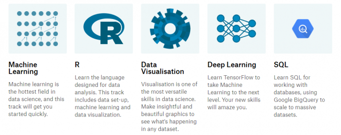
This is the primary reason for this blog post; the massive learning potential found at a site where the worlds leading data scientists and machine learning gurus meet to share and discuss code.
What does this have to do with GIS?
In short, a lot.
Every time I start working on a project, it seems that the data sets are larger than the last. I suspect that I am not alone in this. It is the information age, and boy do we have a lot of it. As data sets increase in size and quantity, it will become important for GIS analysts to understand new, more advanced approaches to analysis, visualization, storage, and retrieval.
Fortunately, Esri development teams keep up with emerging technology trends and are incorporating machine learning principles into new analytics tools. As a GIS specialist, you can make the most out of your mapping and analytics platform if you have a basic understanding of how the tools are built.
In my opinion, nothing aids problem solving in a GIS
like understanding what is happening behind the scenes.
To learn more about Esri’s current machine learning focus, check out this blog post by Lauren Bennett.
Or, to experience machine learning & GIS together, try out this new free tutorial by ‘Learn GIS’!