Teaching with Story Maps
This year I’m trying to be a bit more creative in the classroom and reduce my reliance on PowerPoint. So, when asked to give a guest lecture a couple of weeks ago, I decided to give story maps a try as a teaching tool.
Story maps are a useful tool for communicating and engaging an audience through a combination of text, images, videos, and of course, maps. I’d made story maps before using the classic templates, but this my first dive into the new version, which was released this past summer. The new version uses a sleeker, more modern design that is really flexible in terms of how you weave together multimedia to tell your story. It’s kind of like the classic version’s Cascade template but with a more modern feel.
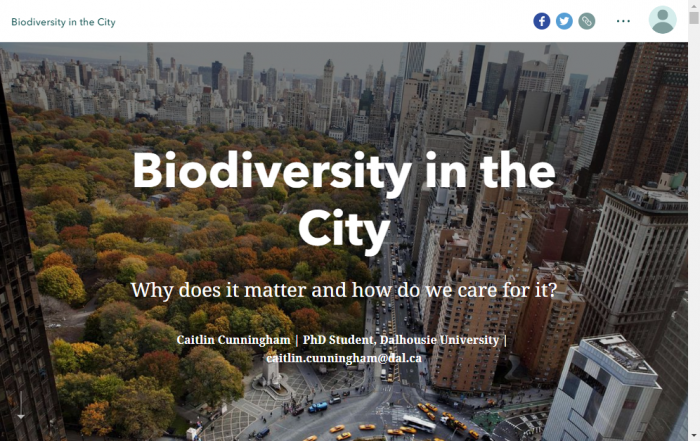
I was asked to give a talk about biodiversity conservation in the city for an undergraduate course called Community as a Living Lab, which is focused on finding solutions to real world sustainability problems here in Halifax. It was a lecture that I’ve given a couple of times, but using Story Maps as a visual aid for it was new to me. Turning my lecture notes into a story map was a fairly easy process as the interface for the Story Map builder was quite intuitive. It was easy to insert text, graphics, maps, videos and even GIFs to the story. Although I didn’t end up using the express maps feature, this is really neat capability of the new story map builder, which allows you to create a simple web map just for use in your story map to help provide context.
As a teaching tool, the Story Map platform was a good choice because you can embed extra content through hyperlinks that students who are interested in a particular topic can follow to learn more through additional web content. This was one of the biggest advantages that I noticed over PowerPoint because of how easy it was to embed the extra content and the fact that there was no worry about download issues or issues moving the lecture between PCs and Macs.
The only major challenge that I had in using Story Maps as a teaching tool was that unlike in PowerPoint, there is no ‘presenter view’, what you see on your screen is the same as what the students see. Personally, I tend to use the notes function a lot to keep myself on track, so this was a bit of a challenge, but through well thought out text in the Story Map and some good old fashioned paper notes it was manageable.
A bonus that I didn’t foresee in using Story Maps as a teaching tool was that it can function as a non-intimidating introduction to GIS and the Esri world. I was asked a few questions about what I used to create the presentation, and a few students have reached out wanting to learn how to make their own Story Maps, including at least one who had never used GIS before.