 Using ArcGIS CityEngine for GeoDesign on McMaster Campus: Part 2
Posted 4 years ago
By Junli Hu
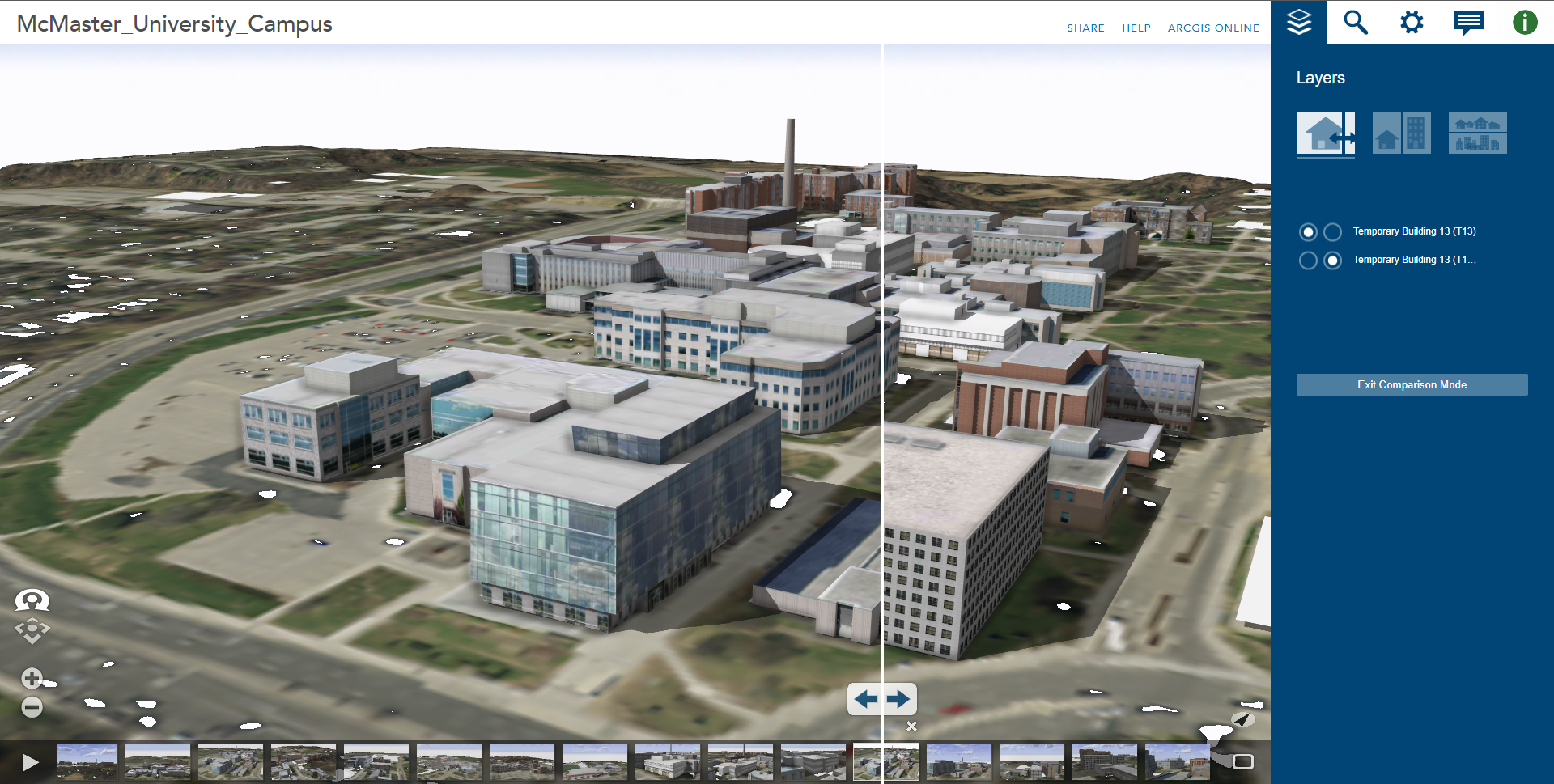
This article continues from the initial two steps outlined in Part 1, where an initial 3D environment for the McMaster University campus was constructed using digital elevation data, aerial imagery, and 3D models for campus buildings available for download from the SketchUp 3D Warehouse website. In this second part, the remaining steps are outlined, describing […]
Read More
 Using ArcGIS CityEngine for GeoDesign on McMaster Campus: Part 1
Posted 4 years ago
By Junli Hu
Esri’s ArcGIS CityEngine is an advanced three-dimensional (3D) modelling software for creating realistic, interactive, and immersive urban environments (Fabricius, 2020). CityEngine allows users to build entire 3D cities effectively in one step, design urban environments, master 3D content creation, and bring a community vision to life (Fabricius, 2020). If we take a look at case […]
Read More

