
Innovation Under Pressure: Tackling Banff’s Urban Mobility Challenges
My Experience at the 7th Annual National Geomatics Competition
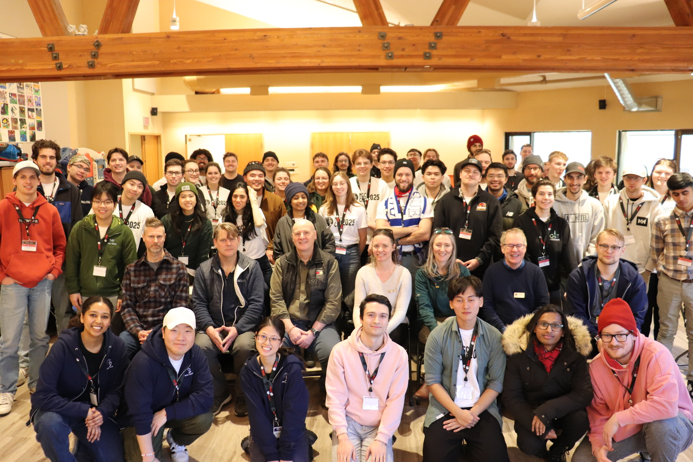
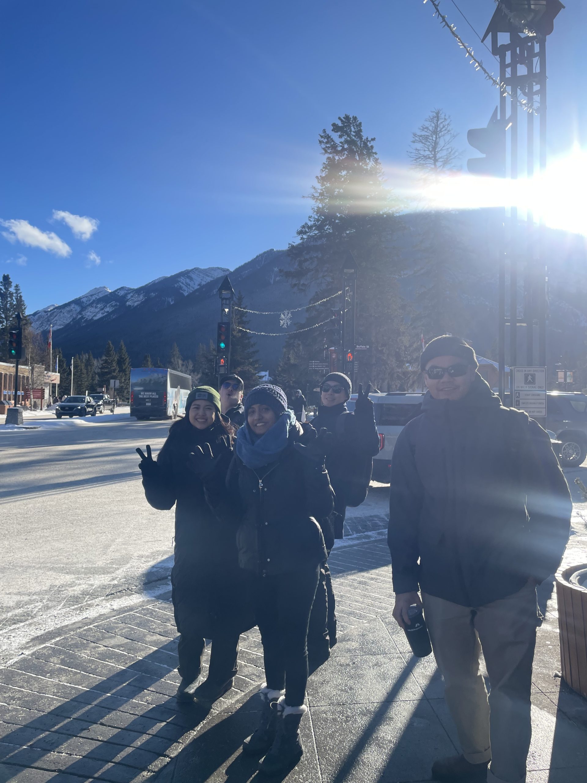
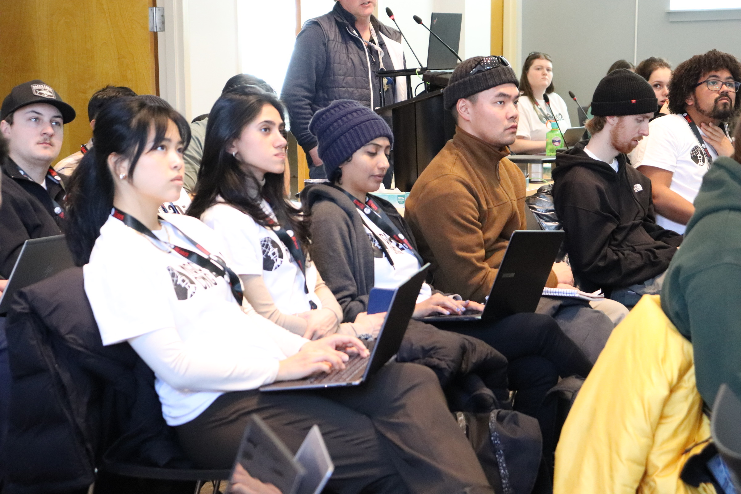
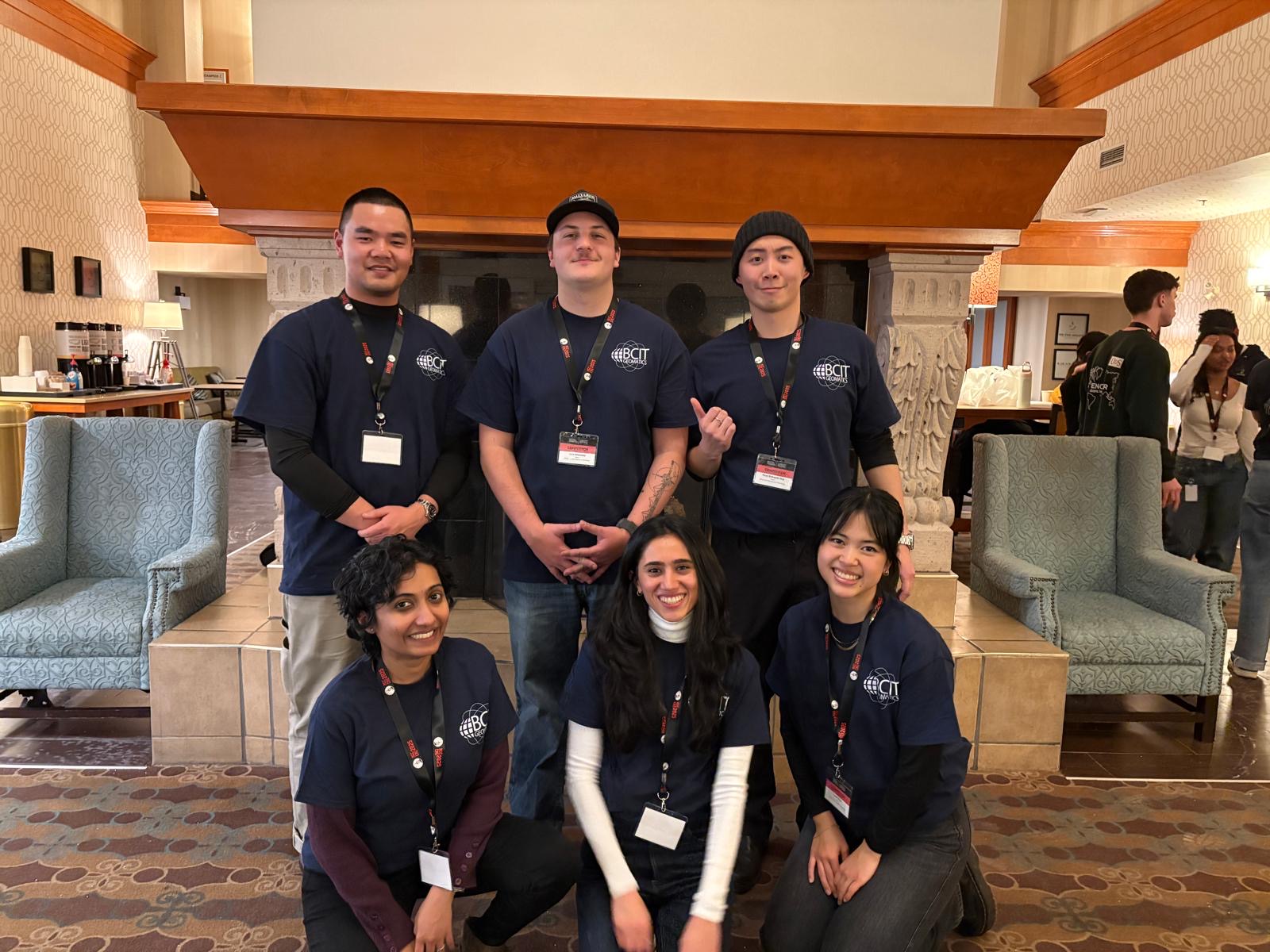
I had the privilege of attending the 7th annual Canadian National Geomatics Competition (NGC) from February 5th to 9th as a representative of BCIT’s GIS Advanced Diploma cohort and the BCIT Geomatics Club. The NGC is a student-led consulting engineering competition that challenges geomatics students to develop and present geospatial solutions to a panel of industry and academic experts. In this whirlwind of an experience, I was able to learn about the Town of Banff’s urban planning concerns via first-hand experience, test my innovation capabilities under time constraints, and develop new connections within the geomatics industry.
The target issue put forth by this year’s competition was to address urban mobility issues in the Town of Banff caused by high tourist visitation rates exceeding the town’s road, parking, and pedestrian capacities. The presenters included Jon Bali, the Town of Banff’s GIS Coordinator, Ali Buckingham, Banff and Lake Louise Tourism’s Business Intelligence Analyst, and Darren Enns, the Town of Banff’s Planning and Development Director, amongst other industry experts. Each of the 17 competing teams could ask the panel one question to develop a better understanding of the constraints and implications of past and future solutions to tackle the prompt. Questions included how land-use zoning impacts urban development planning decisions on the municipal level, what the vehicle and pedestrian threshold value is to be classified as congested, and why solutions such as multi-storey parking lots have not yet been attempted. One interesting answer to note is that the town does not wish to prioritize parking development solutions because increasing parking might incentivize more visitors to travel by private vehicle.
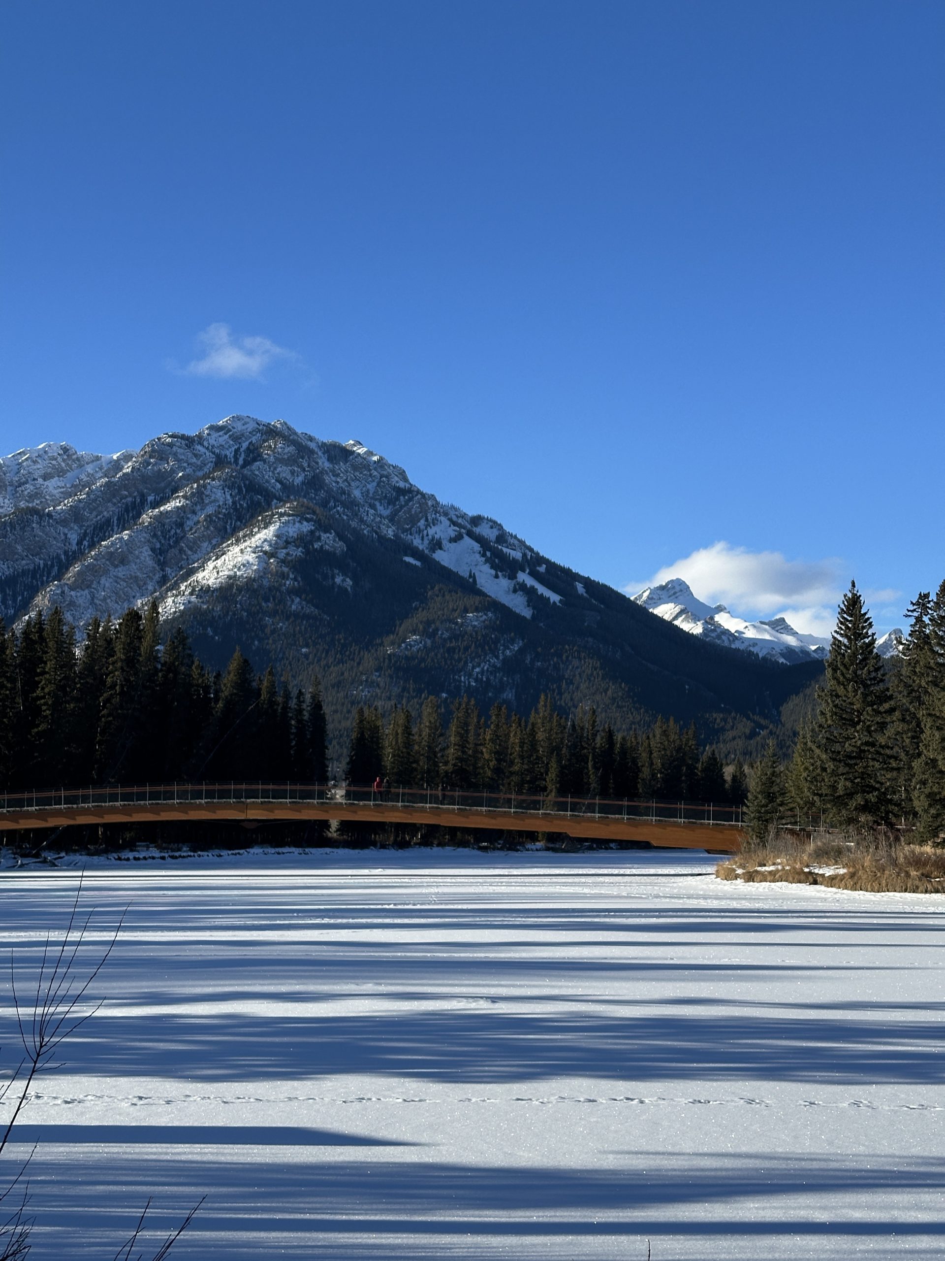
It was intriguing to learn about the types of urban planning issues faced by unique gateway communities such as Banff, as they also need to prioritize the ecological protection of the surrounding national park. I found the experience of learning from professionals and leaders while appreciating the beauty of Banff’s local town charms to be valuable personally and professionally.
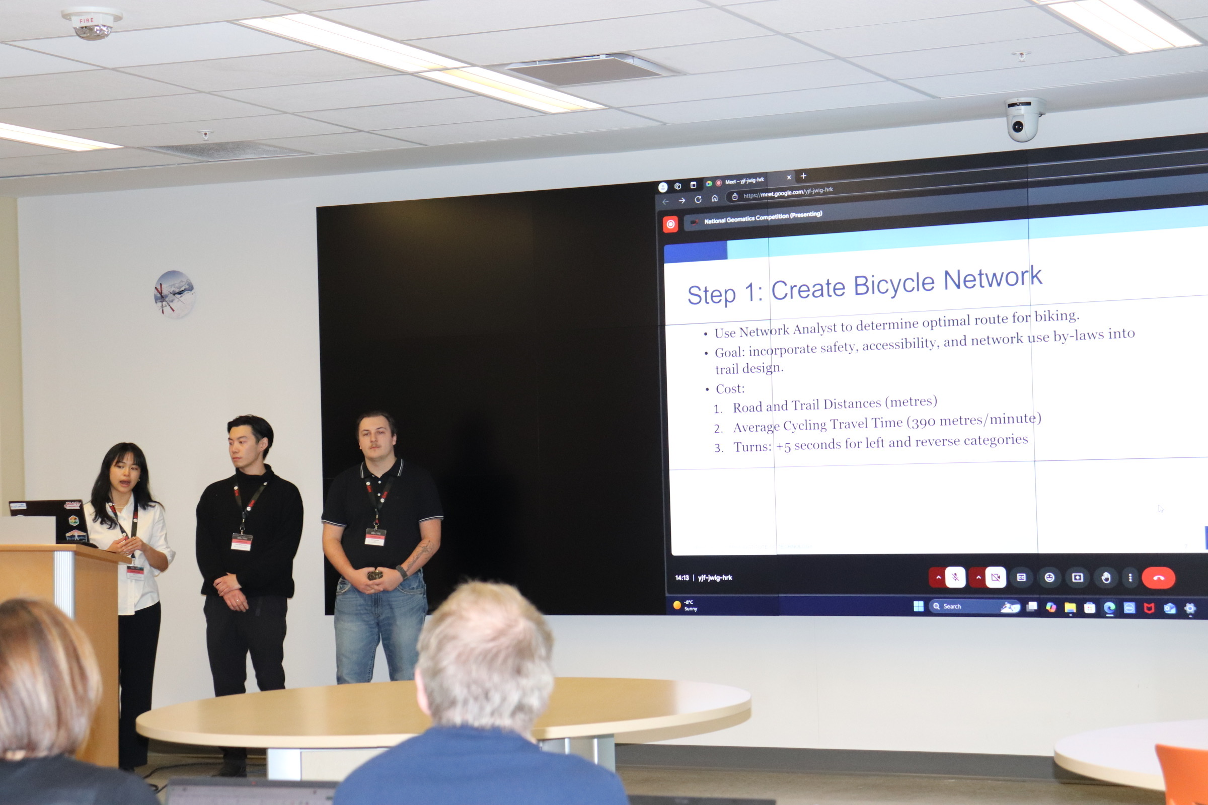
After engaging with the panel, it was even more exciting to immediately throw ourselves into the problem and workshop a solution that would be presented after the next 12 hours. This time crunch challenged my team members, Noah Shibagaki-Ong, Jack Kalanchey, and I to pitch potential strategies, develop a project management timeline, and finalize an end product before the deadline. While stressful, I thoroughly enjoyed this process because it felt like I could tap into the same creativity that a child in a sandbox could. I could apply the data provided by the competition and manipulate it using endless possibilities of analysis to produce an output tailored to the niche problem that faced us. It also tested my adaptability and innovation skills needed for consulting services to third-party clients, which is a venture that I am passionate about pursuing.
Final Presentation Details
Our team’s pitch was to deploy a shared e-bike fleet pilot program using GNSS technology to incentivize biking in the town as the main mode of transportation for tourists and locals. We first conducted a weighted overlay raster analysis in ArcGIS Pro to determine suitable biking charging stations with considerations of minimizing ecological disruption and maximizing accessibility. We then used ESRI’s ArcGIS Network Analyst to determine optimal biking routes within the town by accounting for safety, accessibility, and trail-use by-laws as costs in the network creation process. This network was used to determine the maximum distance that each station could service if a potential user wanted to bike from that station to a point of interest within a fifteen minute radius. This analysis allowed us to determine the exact number of stations and bikes that should be deployed in the pilot for an accurate budget estimation. Our team proposed this e-bike program implementation with the goal to decrease pedestrian and vehicle congestion in Banff, uphold sustainability standards, and improve tourism and local navigation through the city during the busy summer season.
Upon completing our presentation, I found the feedback given by the panel and advisory board members before submission to be equally as valuable as the creation process itself. Understanding the feasibility of our plan and potential ways we could polish our end product and map deliverables from the perspective of varied industry professionals was insightful. It provided me with a more nuanced understanding of how to efficiently yet effectively approach geospatial consulting issues for the future.
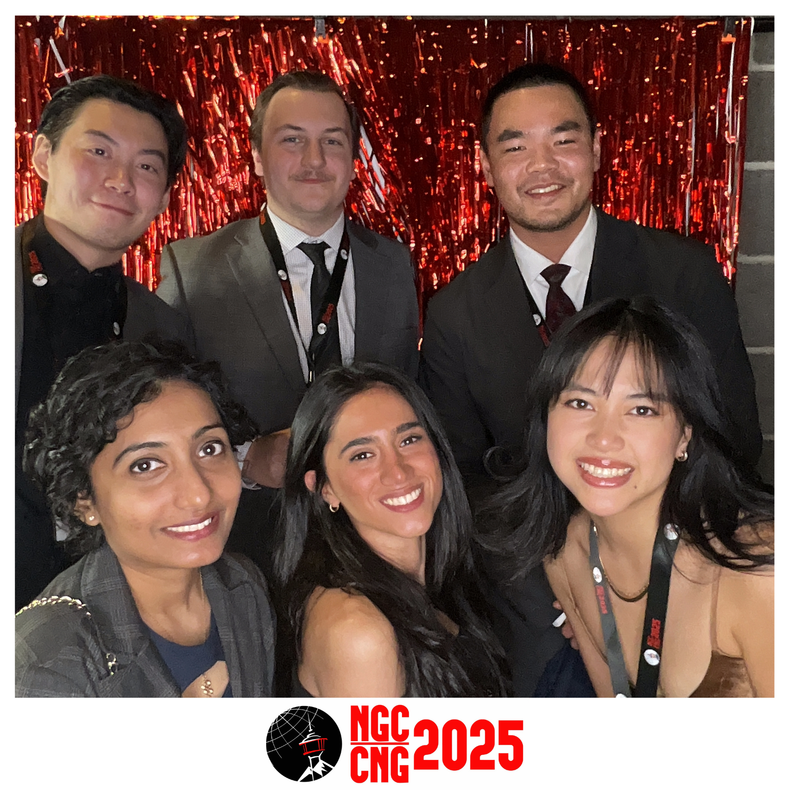
The NGC also filled our experience with social events such as the Geomatics Exposition with 30+ sponsor companies and their respective representatives in attendance, ice breakers to meet students from the other participating universities across Canada, and a gala and awards ceremony to commemorate the end of the presentations. I learned how deeply integral GIS is for geomatics post-processing and the value that geomatics provides for measuring and modelling essential infrastructures and environments. I was also able to discover how GIS is taught and applied by varying educational institutions, bonding with my new peers about our passions for the field.
Overall, this competition provided me with the opportunity of a lifetime. The NGC was an intensive experience that brought together industry representatives and real issues with student innovators to test our capacities to become future leaders in the field. I learnt about the ecological, economic, and cultural importance and functions of Calgary and Banff as communities and tourist hubs, tested my GIS capabilities given real-world issues and client feedback in tight timelines, and connected with peers and representatives in the geomatics field. Thank you to the sponsors and executives of the BCIT Geomatics Club, the faculty at the BCIT GIS Advanced Diploma Programme, and the organizers of the NGC for making this experience possible!
Bottom row left to right: Divya Sakpal, Aida Khayambashi, Sarah Chen