My Journey to GIS – Skyler Grasley

Who am I?
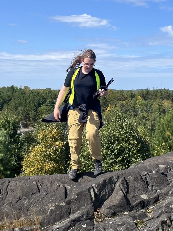
I am a third year student in the Honours Earth and Environmental Sciences Co-op program at McMaster University. My four major areas of study are Petrology, Geophysics, Astrophysics, and, (as you may well have guessed), GIS! I play D&D, compose baroque orchestra, play piano and clarinet, and have an insatiable thirst for knowledge.
How did I get here?
When I was in high school, the subject I enjoyed most was physics, but when I swiftly caught the programming bug after taking my first compsci course in grade 10. I’d always loved space too, and had studied it on my own time, but after a co-op opportunity in grade 10 in the department of Physics and Astronomy at Mac, I was hooked on data analysis and astrophysics! It was the perfect environment: an opportunity to apply the programming I loved to a subject field I found fascinating! Come second year, I took my first GIS course, and was once again hooked! It was another data analysis application, but this time, with a unique catch – space. The geospatial relationship between datapoints is a powerful medium over which you can connect seemingly disparate data, to try and tease out a casual or correlative relationship. Space is the nexus of many datasets, and it allows us to generate deep and useful insights into many things, from social issues, to plate tectonics and orogenies, to economics, to weather and more.
In second year, not only did I discover my fascinating for GIS: I also discovered my interest for petrology, and for geophysics. Petrology is a science of ‘Why’. Why has this hard rock body become as it is today? What processes affected this magma chamber, causing it to cool and stratify as it has? Petrology is a science typically applied for mineralogical exploration. Geophysics, is also a science applied that can be applied to mineralogical exploration, and is frequently used in research as well. Geophysics uses an understanding of the fundamental forces of our universe, and wields that understanding in the form of sensing techniques, such as electromagnetic surveys, gravimetric surveys, and more. And just like many other physical sciences, these two particular physical sciences are fundamentally linked with spatial relationships.

Now, and the immediate future.
The end of my first 3rd year semester will be here soon, but, as of now, in GIS, I’ve learned about various vector topics, various raster topic, scripting in GIS with Arcade and ArcPy, and a wide breadth of Web GIS Topics through AGOL’s many features. I will soon apply my GIS skills working for the Department of Fisheries and Oceans (DFO) at the Canadian Centre for Inland Waters (CCIW) as part of my first Co-op! I am also working with Pallium Canada, building StoryMaps to support their upcoming Canadian Atlas of Palliative Care. The purpose of this atlas is to act as a resource for care providers and families by aggregating together information about a messy and patchwork system of care. We plan to use this atlas as a key resource to advocate for accountability and better quality of palliative care in Canada. Also, come January I will be competing in the 2025 Geogames in Laval, Québec.
And last, but not least, I am now an Esri Canada ECCE student associate! I’m quite excited about this, as it is a valuable opportunity to develop valuable skills that I will be able to wield in my upcoming career, no matter where I end up! GIS as an industry is simply exploding in popularity, as can interface with nigh every other industry out there. The future of GIS is bright, and today is the time to seize the moment.
