
Keep Motivated with GIS Remote Learning
As many schools across Canada have cancelled in-person classes due to COVID 19 and summer courses have quickly changed their teaching methods to online, it may be challenging to keep motivated. While many of us are stuck inside due to social isolation, these times may be an opportunity to learn a new GIS-related skill. Fortunately, Esri offers many resources intended to help keep you busy and motivated to learn!
Whether you are a current student, a future student, or someone looking to improve their GIS skills, here are some tips and tricks to broaden your skills and learn a few new GIS resources along the way!
Free Access to Esri Software for Students
Esri has recently announced that all university and college students 18+ can get free access to ArcGIS (Includes ArcGIS Pro, ArcOnline, etc.) for continued education from now until August 31st, 2020. The final day to join is June 30th, 2020. Frequently asked questions about this opportunity can be found in this link.
Esri Academy
Esri Academy hosts a variety of courses that can be done anywhere between 2 minutes to 4 hours! These courses are great for increasing your skill level in ArcMap, ArcPro, ArcEnterprise, ArcOnline, and many more. Whether you are interested in learning how to script, 3D, or how to make Story Maps, these courses are a great introduction! To access, all you need is a free public Esri account!
Esri MOOC’s
Esri Academy also offers free online classes that are focused on the development of geospatial technology. These typically run for six weeks and can be done on your own time. While the current class in spatial data science is no longer accepting applicants, registration for the next course in Cartography begins April 22nd. Click this link for more information!
Cartography
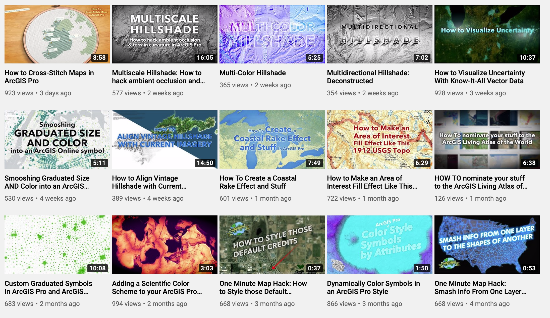
John Nelson’s “Adventures in Mapping” blog is always looking for new ways to blow your mind with cartographic features that you didn’t even think existed. Everything from 1-minute hacks, how-to guides, to cartography tricks, his blog and youtube channel will surely keep you entertained!
My two favourites are Mega Easy Water Colour Painting in ArcGIS Pro and How to Make this Vintage Map Poster of Yellowstone.
Story Maps
StoryMaps are a great way to share information to tell a story about a project, a personal experience/adventure, or to be used as a presentation tool. If you haven’t tried it yet, this could be your new summer project! Additionally, StoryMaps allows you to create interactive maps on the fly without the need for any GIS experience. A great starting resource is to check out this webpage.
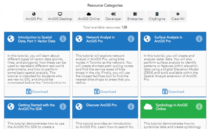
Resources by Esri Canada’s Education & Research
Esri Canada’s Education & Research group also produces a variety of resources for higher education that you can use to learn about working with ArcGIS. For beginners in GIS, or younger learners, there is also a set of k-12 learning resources available.
Additional Resources
If you’re looking for additional resources to help you top off your current knowledge, Springer is offering free GIS, Analytical and Programming book downloads. Many of these books have step by step instruction, as well as classroom-tested exercises to enhance your learning.