Presenting at the User Conference in Halifax
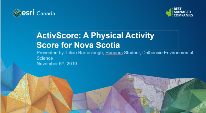
In early November I attended my first Esri Canada User Conference in Halifax and had the opportunity to present my honours research along with other researchers in the higher education and research stream. It was exciting to be presenting along with students from across the Maritimes and sharing our new research developments using GIS! It was a welcoming space to act as a good introduction to presenting academic work as an undergraduate along with people of varied experience from Undergraduate, Masters, and PhD students to professors.
I presented a tool that I have created called the ActivScore that measures the levels of access to built environment infrastructure that encourages physical activity across all of Nova Scotia. I created ten different indicators that can either support or inhibit physical activity and scored each out of ten, and then created a total score through the sum of the scores of the indicators. The final product is a web app where the user can search any address in Nova Scotia and be given the 10-minute walk neighbourhood (a polygon around the address), a total score, and a break down of the scores of each of the indicators (for more detail, read my blog article from last fall).
I was really excited to hear from other presenters who were doing research to effectively map trails that are community managed in rural Nova Scotia. In my research, I have struggled to find accurate and up-to-date data sources for multi-use and hiking trails across the province, and this was a window into how the trails data might finally be accessible for people across the province (and for research of course!). Through my own presentation and others, it was exciting to see areas of potential collaboration and synergy where projects can benefit each other and augment the impacts.
Having the opportunity to connect with other GIS scholars in the Maritimes is an opportunity to learn from one another, collaborate, and better understand the problems that are unique in finding and analyzing data in our region. I look forward to attending (and hopefully presenting!) at more Esri conferences in the future!


