
Working on Geometric Networks
This spotlight article was contributed by Jen Ranni, a student at COGS. She is getting started on a case study that will examine to building network datasets for the City of Cambridge water distribution systems using ArcGIS. We’re looking forward to hearing more about the results of her work when the project is completed.
Hey, my name is Jen and I’m a student at the Centre of Geographic Sciences (COGS) in Lawrencetown, Nova Scotia. I’m beginning my winter term at COGS and also a project which will go towards the completion of my advanced diploma with a concentration in GIS. For my project I’ll be working with the City of Cambridge (Ontario) and their Asset Management team.
For a bit of background, I worked with the City of Cambridge in the summer of 2017 as a sidewalk and retaining wall inspector. This job has to be one of the best gigs that a student can get – a bit of office work and a whole lot of biking around! The bike is equipped with a tablet running ArcGIS Collector which was used to contribute to the inventory of sidewalk defects, while OnPoint was used to update the conditions of retaining walls. I enjoyed this job and the work environment a lot, so when brainstorming project ideas I felt like continuing to work with the City of Cambridge.
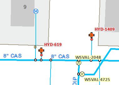
I’ve been given the opportunity to run the test pilot of a geometric network for the City’s water distribution system. The existing water distribution system is housed within a distinct feature dataset, with over a dozen different feature classes. While this system is well-maintained and houses an abundance of information, the eventual migration to the utility network framework will improve existing business processes (modelling and editing assets) and complex analytics (for example, determining how many customers are without water due to a closed water line). The utility network will be started once the data is ‘cleaned-up’ and Utility Network for ArcGIS Pro is released. Where my job comes in: creating a case study about upgrading to the geometric network where the water distribution system can be evaluated at the industry standard. The goal is to present this case study to the City of the geometric network while mentioning the benefits and shortcomings of the model. The geometric network can then be migrated to the utility network in the future.
This project will be adding to my repertoire of GIS skills. I’m glad that I can work on this project and contribute to the improvement of the City of Cambridge’s infrastructure. If there are questions I can try my best to answer them.