Streambank Erosion
Over the past few months, I have been working with my advisor (Dr. Derek Robinson) on using new and emerging technologies for modelling streambank erosion. Due to the immediate hydrologic connectivity of eroded bank sediments to a stream network, the effects of streambank erosion can have significant impacts on surface water quality. The controls on streambank erosion are spatially heterogeneous and site specific, making the contributions of pollutants via bank erosion hard to quantify. Historically, streambank erosion has been quantified by performing change-over-time analyses using techniques like erosion pins. These pins are placed into the streambank and the soil level is marked. For each subsequent visit if the soils had been eroded around the pin, the new soil level is marked, and this measurement is used to estimate the volume of sediments eroded from a bank. Over the past two decades, Light Detection and Ranging (LiDAR) and photogrammetric techniques (using terrestrial or airborne imagery) have become popular for change-over-time analysis and to parameterize erosion models.
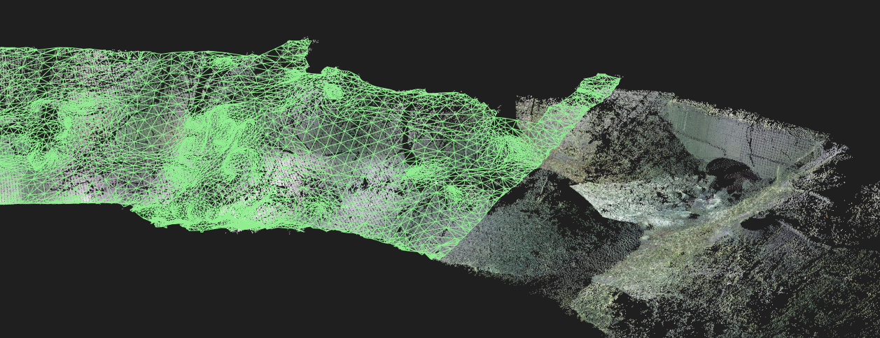
Most streambank erosion models, such as the Bank Stability and Toe Erosion Model (BSTEM), take extremely detailed inputs for streambank geometry. The streambank geometry data is coupled with the edaphic characteristics and the vegetation of the site to predict erosion rates. Collectively, the combination of field and computational work has sought to determine the efficacy of these new technologies in accurately modelling streambank geometry. Some of the most interesting data derived from the project has been from unmanned aerial vehicle (UAV) imagery and terrestrial LiDAR (pictured below). The UAV imagery has been processed in Pix4D using structure-from-motion-photogrammetry and has yielded some excellent results. The different technologies are being compared using ArcGIS to examine important streambank characteristics such as stream width, bank slope, and bank curvature. This will hopefully yield insights into the applicability of using airborne sources, whether it be from a UAV or satellite, for modelling streambank geometry.