
Looking Forward: Availability and Organization of Geospatial Data
I’ve decided to write about a topic that, I think, consumes anyone working on a geospatial project and at any level of user experience. Finding, understanding, and using geospatial data is often touched upon during introductory classes in GIS, yet can potentially constitute a large percentage of a GIS student/user’s time. The acquisition of reputable data often leads one through a labyrinth of webpages, data portals, and institutional/governmental catalogues that can be overwhelming to anyone in search of a particular set of data. Of course, this topic is so difficult to approach in a classroom as there doesn’t appear to be a uniform or standard format when dealing with openly available data, where every source requires a user to learn their in-situ classifications.
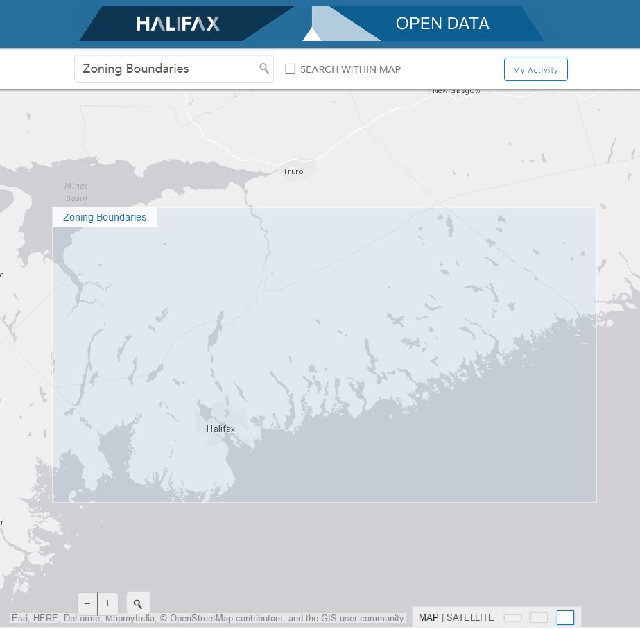
As the advent of widely available data sets continues to progress, the appropriate use and ease of understanding would greatly benefit from a scaffold of formatting to base GIS data on. Dalhousie University, and their GIS Centre, provides fantastic access to a number of comprehensive data sets from a number of sources: municipal, provincial, private companies, federal, and others. As an example of this, in October 2014 the municipality of Halifax and Esri teamed up to produce exceedingly beneficial information, freely available to the public (http://catalogue.hrm.opendata.arcgis.com/). The website provides detailed information about the visual extent of the data, attribute table definitions, and multiple options for downloading format, making the catalogue easy to navigate and understand in lay-person terms:
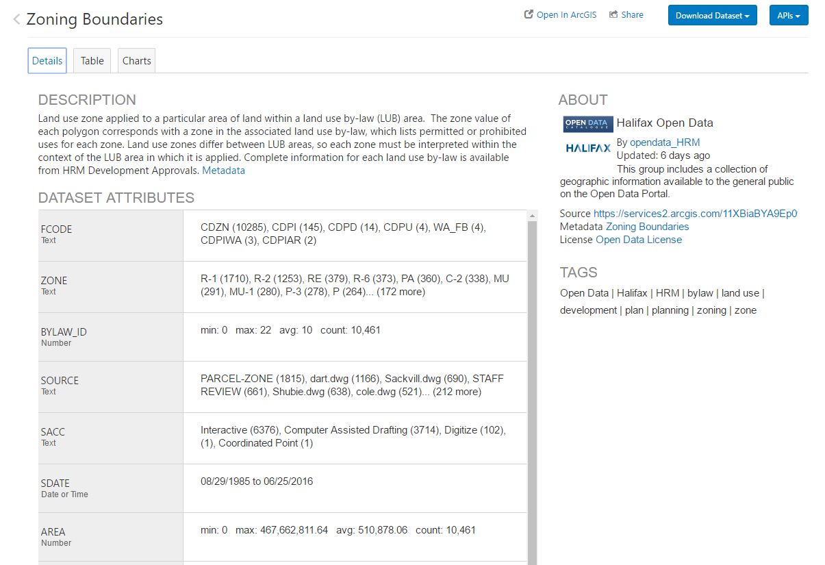
Unfortunately, not all data sets have the resources behind them to provide such an approachable layout to data as the municipality of Halifax has produced with Esri. Often, these data sets are locked in formats unfamiliar to the occasional GIS user, use different grid systems to partition data, and/or require substantial time to decode the attribute field definitions (either through deductive reasoning or by navigating through detailed metadata). I am so pleased to see increasingly more data available in any format, but I believe user and program support will increase with an accessible layout. So many groups of researchers and analysts have worked hard to provide these resources and yet they may remain unknown due to occasional users shying away from unfamiliar territory. As data becomes larger and more extensive, time may need to be invested into a solid and user friendly management system that can be applied to various repositories of data. As we all continue to ‘nerd-out’ with the increasing accessibility of data I hope to see it’s availability extend to those that are new to GIS and researchers who will benefit from a geospatial component to their work.